
UNESCO World Heritage · North Wales
Pontcysyllte Aqueduct
In or near Ruabon.
Pontcysyllte Aqueduct — navigable aqueduct in Wales.

Wikimedia Commons contributors — see linked file page for photographer and licence licence

Plan your visit
- Typical visit
- 2 h–4 h
- Nearest railway station
- Ruabon · 3.5 km
- Free entry
- Family-friendly
Getting there & planning your visit
To visit Pontcysyllte Aqueduct, the nearest railway station is Ruabon, located 3.5 km away. The postcode for sat-nav is LL20 7YS, and entry is free.
About
Pontcysyllte Aqueduct is inscribed on the UNESCO World Heritage List. Wikidata describes it as: "navigable aqueduct in Wales". Coordinates: 52.9702°, -3.0878°.
Photo gallery
Heritage listing
http://cadwpublic-api.azurewebsites.net/reports/listedbuilding/FullReport?lang=en&id=1601
From Cadw under OGL v3.
Summary from the official site
The Pontcysyllte Aqueduct is a UNESCO World Heritage Site recognized for its remarkable industrial and engineering heritage. Visitors can explore the aqueduct and the surrounding 11 miles of the Llangollen Canal, which includes various listed structures and scenic views.
Read more on the official property page.
Protected designations
- Site of Special Scientific Interest: River Dee (England) SSSI
Designations sourced from Natural England open data under OGL v3.
From the Wikipedia article
The Pontcysyllte Aqueduct (Welsh pronunciation: [ˌpɔntkəˈsəɬtɛ]; Welsh: Traphont Ddŵr Pontcysyllte) is a navigable aqueduct that carries the Llangollen Canal across the River Dee in the Vale of Llangollen in northeast Wales. The 19-arched stone and cast iron structure is for use by narrowboats and was completed in 1805 having taken ten years to design and build. It is 12 feet (3.7 metres) wide and is the longest aqueduct in Great Britain as well as the highest canal aqueduct in the world. A towpath runs alongside the watercourse on one side. The aqueduct was to have been a key part of the central section of the proposed Ellesmere Canal, an industrial waterway that would have created a commercial link between the River Severn at Shrewsbury and the Port of Liverpool on the River Mersey. Although a less expensive construction course was surveyed further to the east, the westerly high-ground route across the Vale of Llangollen was preferred because it would have taken the canal through the mineral-rich coalfields of North East Wales. Only parts of the canal route were completed because the expected revenues required to complete the entire project were never generated. Most major work ceased after the completion of the Pontcysyllte Aqueduct in 1805. The structure is a Grade I listed building and part of a UNESCO World Heritage Site.
Excerpt from Wikipedia under CC BY-SA 4.0. See the source article linked in Sources below.
Background
History
The aqueduct was designed by civil engineers Thomas Telford and William Jessop for a location near an 18th-century road crossing, Pont Cysyllte. After the westerly high-ground route was approved, the original plan was to create a series of locks down both sides of the valley to an embankment that would carry the Ellesmere Canal over the River Dee. After Telford was hired the plan was changed to an aqueduct that would create an uninterrupted waterway straight across the valley. Despite considerable public scepticism, Telford was confident his construction method would work because he had previously built a cast-iron trough aqueduct – the Longdon-on-Tern Aqueduct on the Shrewsbury Canal. The…
Architecture
designed and built the Pontcysyllte aqueduct using the experience he gained from building Longdon-on-Tern Aqueduct on the Shrewsbury Canal]] The mortar used lime, water and ox blood. Blood and extracts of blood containing haemoglobin have been used in the construction and building industry since antiquity as air entraining colloids to inexpensively strengthen mortar exposed to freeze-thaw temperature cycles. The iron castings for the trough were produced at the nearby Plas Kynaston Foundry, Cefn Mawr, which was built by the Shrewsbury ironfounder and millwright William Hazledine in the hope of gaining the contract. The rib castings may have been made at Hazledine's original works at…
Sourced from Wikipedia under CC BY-SA 4.0.
- Coordinates
- 52.9702, -3.0878
- District
- Wrexham
- Parish
- Llangollen Rural
- Postcode
- LL20 7YS
- Parliamentary constituency
- Clwyd East
- Nearest railway station
- Ruabon — 3.5 km
- Opening
- 26 November 1805
- Official site
- www.pontcysyllte-aqueduct.co.uk
Sources
- wikidata: Q158822 (CC0)
- wikipedia: Pontcysyllte Aqueduct (CC BY-SA 4.0)
- commons: Pontcysyllte aqueduct arp.jpg (CC BY-SA 4.0)
Featured in these 2 guides
Other places nearby

Pontcysyllte Aqueduct
Historic bridges · 0.0 km
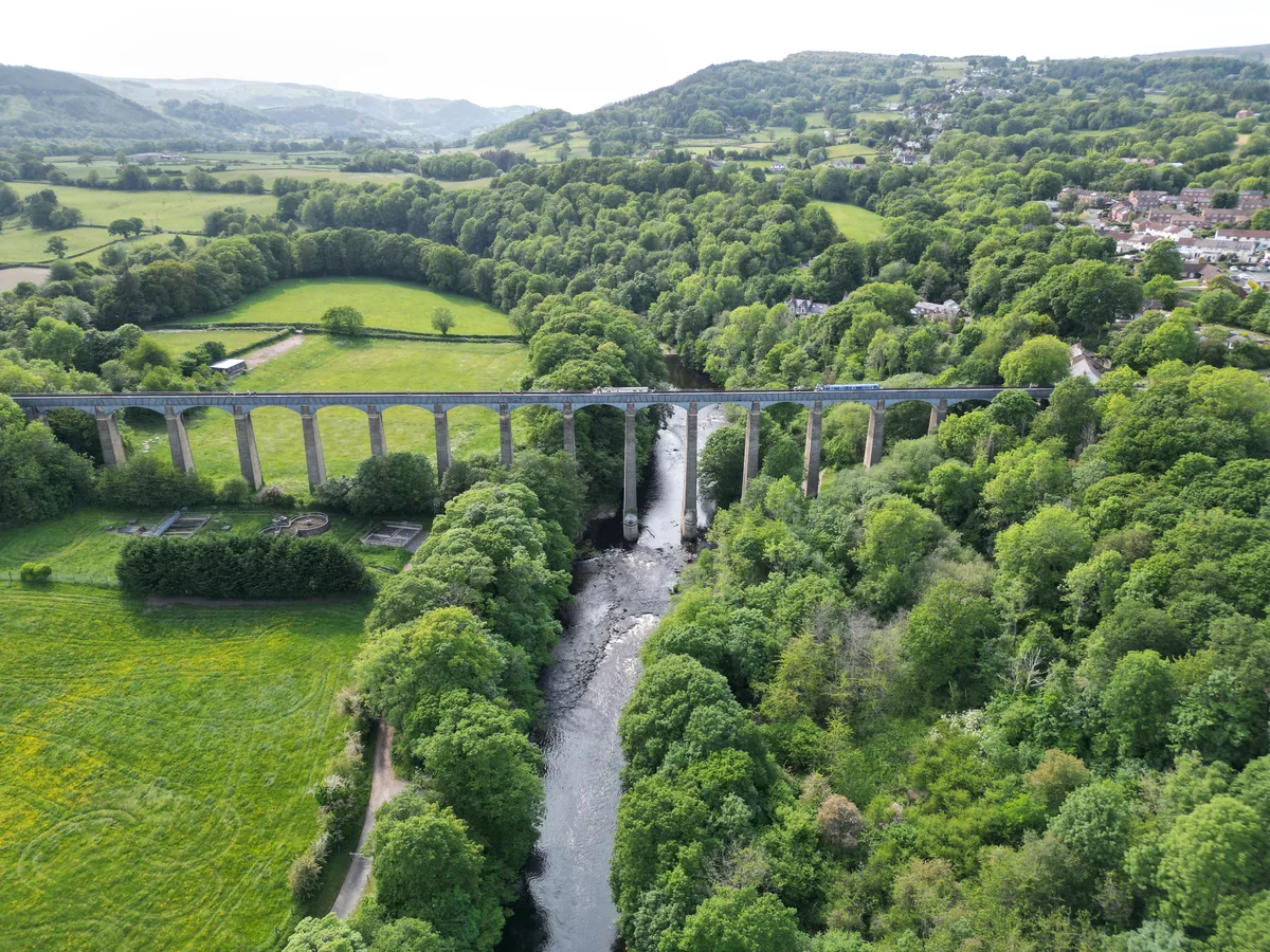
Pontcysyllte Aqueduct and Canal
UNESCO World Heritage · 0.2 km

Bridge No 31
Historic bridges · 0.2 km

Pont Cysyllte
Historic bridges · 0.2 km

Bridge next to Telford Inn
Historic bridges · 0.4 km

Chapel Tearoom
Cafés · 0.4 km

Chirk Castle Limestone Company/Canada Bill
Public art & sculpture · 0.6 km

Trevor
Villages · 0.7 km

Cefn Bank
Viewpoints · 0.8 km

Bridge No. 34 over Llangollen canal near Plas-yn-pentre
Historic bridges · 1.0 km

George Edwards Hall
Theatres · 1.2 km

Trevor Church
Historic churches · 1.3 km
Nearby
📷 5Historic bridges · North Wales
Pontcysyllte Aqueduct
Pontcysyllte Aqueduct is a historic bridge in the United Kingdom.
📷 3UNESCO World Heritage · North Wales
Pontcysyllte Aqueduct and Canal
Pontcysyllte Aqueduct and Canal — World Heritage site in Weston Rhyn, Shropshire, England, UK.
📷 5Historic bridges · North Wales
Bridge No 31
Bridge No 31 — Grade II listed building-listed bridge in wales-north, United Kingdom.
📷 5Historic bridges · North Wales
Pont Cysyllte
Pont Cysyllte — scheduled monument-listed bridge in wales-north, United Kingdom.
📷 5Historic bridges · North Wales
Bridge next to Telford Inn
Bridge next to Telford Inn — Grade II listed building-listed bridge in wales-north, United Kingdom.
📷 5Cafés · North Wales
Chapel Tearoom
Chapel Tearoom — a café in wales north.
Where to eat & stay near Pontcysyllte Aqueduct
Places to stay
 📷 5
📷 5 📷 5
📷 5 📷 5
📷 5 📷 5
📷 5 📷 5
📷 5 📷 5
📷 5Places to eat & drink
📷 5Cafés · North Wales
Chapel Tearoom
Chapel Tearoom — a café in wales north.
 📷 5
📷 5Historic pubs · North Wales
Bridge End Inn
Bridge End Inn in Wales North, United Kingdom.
 📷 7
📷 7 📷 5
📷 5 📷 5
📷 5 📷 5
📷 5More UNESCO sites in this region
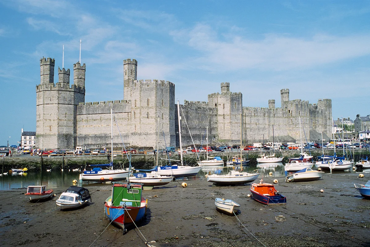 ★ Iconic📷 3
UNESCO World Heritage · North Wales
Castles and Town Walls of King Edward in Gwynedd
Castles and Town Walls of King Edward in Gwynedd — World Heritage site in the United Kingdom.
📷 3UNESCO World Heritage · North Wales
Pontcysyllte Aqueduct and Canal
Pontcysyllte Aqueduct and Canal — World Heritage site in Weston Rhyn, Shropshire, England, UK.
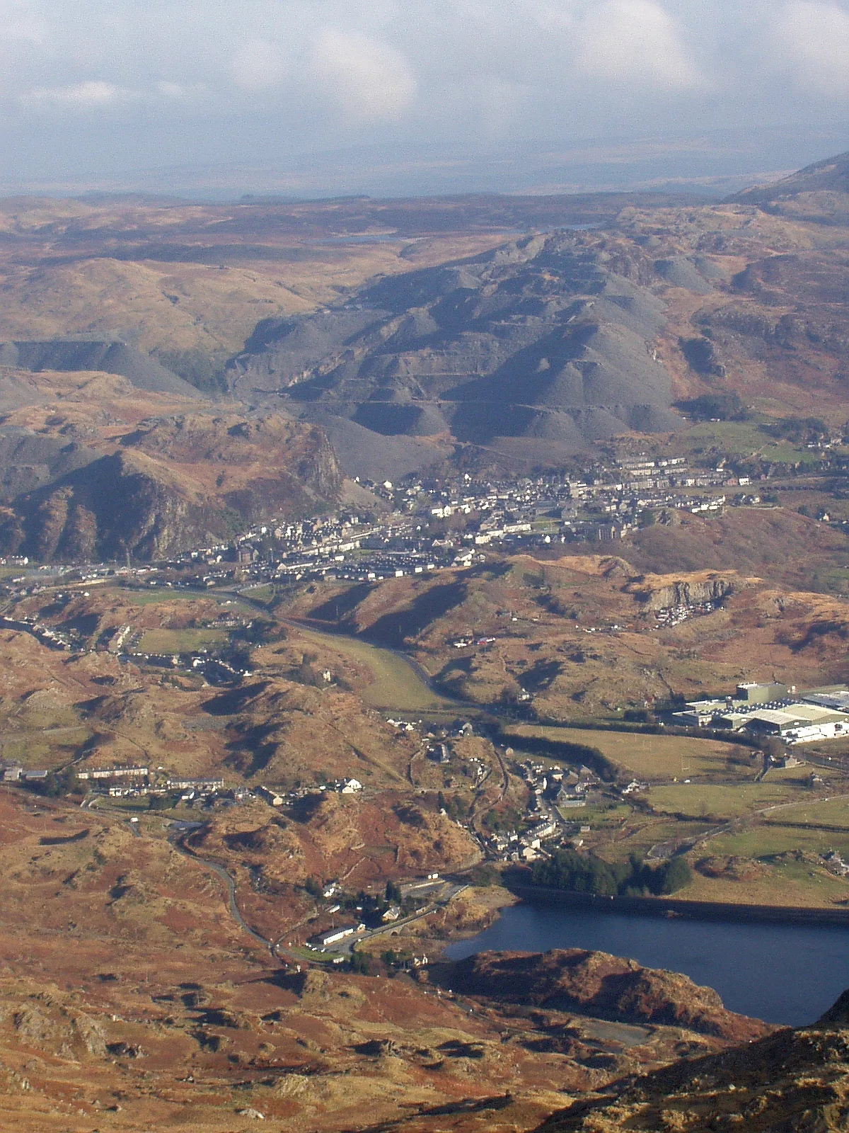 📷 3
📷 3UNESCO World Heritage · North Wales
The Slate Landscape of Northwest Wales
The Slate Landscape of Northwest Wales — UK World Heritage Site from July 2021.
Frequently asked questions
- Where is Pontcysyllte Aqueduct?
- Pontcysyllte Aqueduct is in North Wales, United Kingdom (postcode LL20 7YS), in the parish of Llangollen Rural.
- What is Pontcysyllte Aqueduct?
- Pontcysyllte Aqueduct — navigable aqueduct in Wales.
- How do I get to Pontcysyllte Aqueduct?
- The nearest railway station is Ruabon, about 3.5 km away. Drivers can use postcode LL20 7YS.
- Is Pontcysyllte Aqueduct a listed building?
- Pontcysyllte Aqueduct is officially recognised as I listed.
- Is Pontcysyllte Aqueduct a protected site?
- Yes — Pontcysyllte Aqueduct is part of the River Dee (England) SSSI Site of Special Scientific Interest.
- Is Pontcysyllte Aqueduct free to visit?
- Yes, Pontcysyllte Aqueduct is free to enter.
- How do I get to Pontcysyllte Aqueduct?
- The nearest railway station is Ruabon, about 3.5 km away. Drivers can navigate to postcode LL20 7YS.