
UNESCO World Heritage · North Wales
Castles and Town Walls of King Edward in Gwynedd
In or near Newborough.
Castles and Town Walls of King Edward in Gwynedd — World Heritage site in the United Kingdom.

Wikimedia Commons contributors — see linked file page for photographer and licence licence

Plan your visit
- Typical visit
- 2 h–4 h
- Nearest railway station
- Caernarfon · 0.4 km
- Family-friendly
Getting there & planning your visit
To visit the Castles and Town Walls of King Edward in Gwynedd, the nearest railway station is Caernarfon, located 0.4 km away. The postcode for the site is LL55 2AU. Entry details are not provided, so please check in advance for accessibility information.
About
Castles and Town Walls of King Edward in Gwynedd is inscribed on the UNESCO World Heritage List. Records date its origin to 1280. Wikidata describes it as: "World Heritage site in the United Kingdom". Coordinates: 53.1397°, -4.2769°.
Photo gallery
From the Wikipedia article
The Castles and Town Walls of King Edward in Gwynedd is a UNESCO-designated World Heritage Site located in North West Wales (specifically Gwynedd until 1996). It includes the castles of Beaumaris and Harlech and the castles and town walls of Caernarfon and Conwy. UNESCO considers the sites to be the "finest examples of late 13th century and early 14th century military architecture in Europe". The fortifications form part of the Ring of Iron built by Edward I after his invasion of North Wales in 1282. Edward defeated the local Welsh princes in a major campaign and set about permanently colonising the area. He created new fortified towns, protected by castles, in which English immigrants could settle and administer the territories. The project was hugely expensive and stretched royal resources to the limit. Fresh Welsh revolts followed in 1294 under the leadership of Madog ap Llywelyn. Conwy and Harlech were kept supplied by sea and held out against the attack, but Caernarfon, still only partially completed, was stormed. In the aftermath, Edward reinvigorated the building programme and ordered the commencement of work at Beaumaris. Edward's wars in Scotland began to consume royal funding, however, and work soon slowed once again. Building work on all the fortifications had ceased by 1330, without Caernarfon and Beaumaris having been fully completed. The fortifications played an important part in the conflicts in North Wales over the coming centuries. They were involved in the Welsh Revolt of the early 15th century and the Wars of the Roses in the late 15th century. Despite declining in military significance following the succession of the Tudor dynasty to the throne in 1485, they were pressed back into service during the English Civil War in the 17th century. In the aftermath of the conflict, Parliament ordered the slighting, or deliberate destruction, of parts of Conwy and Harlech, but the threat of a pro-Royalist invasion from Scotland ensured that Caernarfon and…
Excerpt from Wikipedia under CC BY-SA 4.0. See the source article linked in Sources below.
Background
History
The Edwardian castles and town walls in Gwynedd were built as a consequence of the wars fought for the control of Wales in the late 13th century. The kings of England and the Welsh princes had vied for control of the region since the 1070s, with Norman and English nobles and settlers slowly expanding their territories over several centuries. In the 1260s, however, the Welsh leader Llywelyn ap Gruffudd exploited a civil war between Henry III and rebel barons in England to become the dominant power, and was formally recognised as the prince of Wales under the Treaty of Montgomery. Edward I became the king of England in 1272. Edward had extensive experience of warfare and sieges, having fought…
Sourced from Wikipedia under CC BY-SA 4.0.
- Coordinates
- 53.1397, -4.2769
- District
- Gwynedd
- Parish
- Caernarfon
- Postcode
- LL55 2AU
- Parliamentary constituency
- Dwyfor Meirionnydd
- Phone
- +44 1286 677617
- Established
- 1280
- Nearest railway station
- Caernarfon — 0.4 km
Sources
- wikidata: Q837627 (CC0)
- wikipedia: Castles and Town Walls of King Edward in Gwynedd (CC BY-SA 4.0)
- commons: Caernarfon Castle 1994.jpg (CC BY-SA 4.0)
Featured in this guide
Other places nearby

Oriel Pendeitsh
Galleries · 0.0 km

Caernarfon Castle and Town Walls
Museums · 0.0 km

Castell Caernarfon
Natural landmarks · 0.0 km
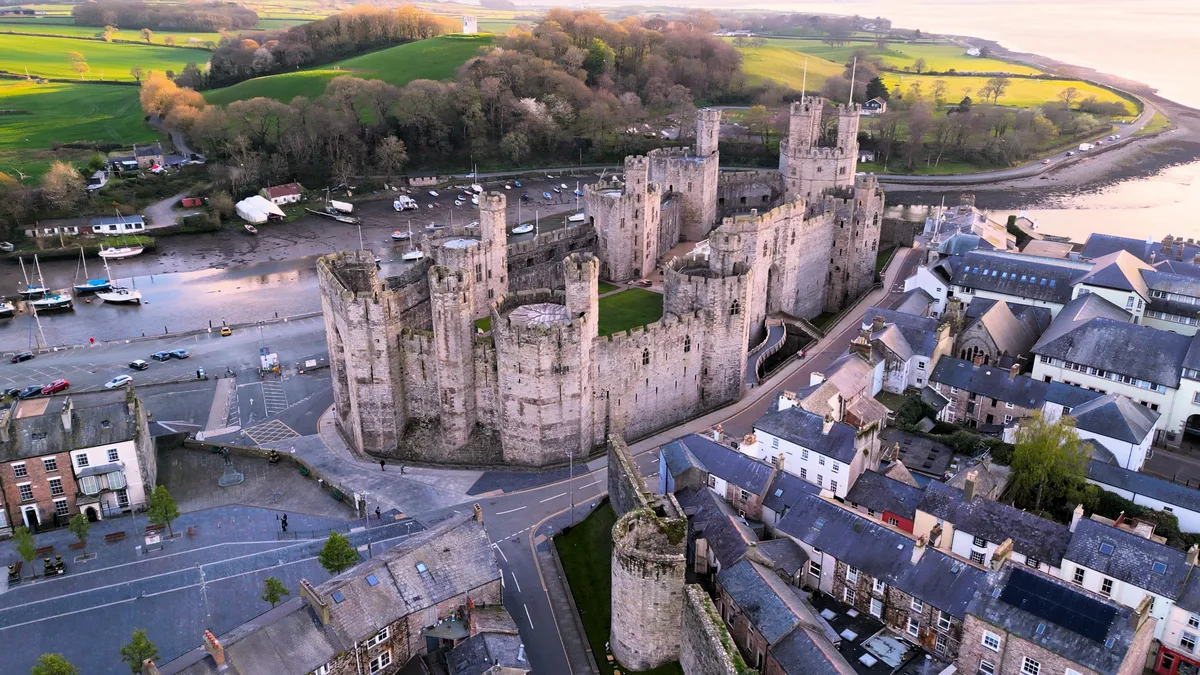
Caernarfon Castle
Castles · 0.0 km

Caffi'r Plas
Cafés · 0.1 km

Royal Welch Fusiliers Museum
Museums · 0.1 km

Ouzo and Olive
Restaurants · 0.1 km

Caffi Maes
Cafés · 0.1 km

Quay walls at Slate Quay
Marinas · 0.1 km
Ty Coz
Restaurants · 0.1 km

Totters Independent Hostel
Hostels · 0.1 km

Royal Welsh Yacht Club
Gardens · 0.1 km
Nearby
📷 3📷 3Museums · North Wales
Caernarfon Castle and Town Walls
Caernarfon Castle and Town Walls — part of a World Heritage site in the United Kingdom.
📷 3Natural landmarks · North Wales
Castell Caernarfon
Castell Caernarfon — a other in wales-north, United Kingdom.
📷 3Castles · North Wales
Caernarfon Castle
Caernarfon Castle — castle in Caernarfon, North Wales.
📷 5📷 3Museums · North Wales
Royal Welch Fusiliers Museum
Royal Welch Fusiliers Museum — a museum in wales-north, United Kingdom.
Where to eat & stay near Castles and Town Walls of King Edward in Gwynedd
Places to stay
📷 5Hostels · North Wales
Totters Independent Hostel
Totters Independent Hostel — a hostel in wales north.
 📷 5
📷 5 📷 5
📷 5Caravan parks · North Wales
Coed Helen Caravan Park
Coed Helen Caravan Park — a caravan park in wales north.
 📷 5
📷 5Caravan parks · North Wales
Glan Gwna Holiday Park
Glan Gwna Holiday Park — a caravan park in wales north.
 📷 5
📷 5Caravan parks · North Wales
Tyddyn Albert Caravan Site
Tyddyn Albert Caravan Site — a caravan park in wales north.
 📷 5
📷 5Campsites · North Wales
Fron Caravan & Camping Park
Fron Caravan & Camping Park — a campsite in wales north.
Places to eat & drink
📷 5📷 5📷 5📷 5 📷 5
📷 5 📷 5
📷 5Other UNESCO sites from this era
 Flagship📷 10
UNESCO World Heritage · London
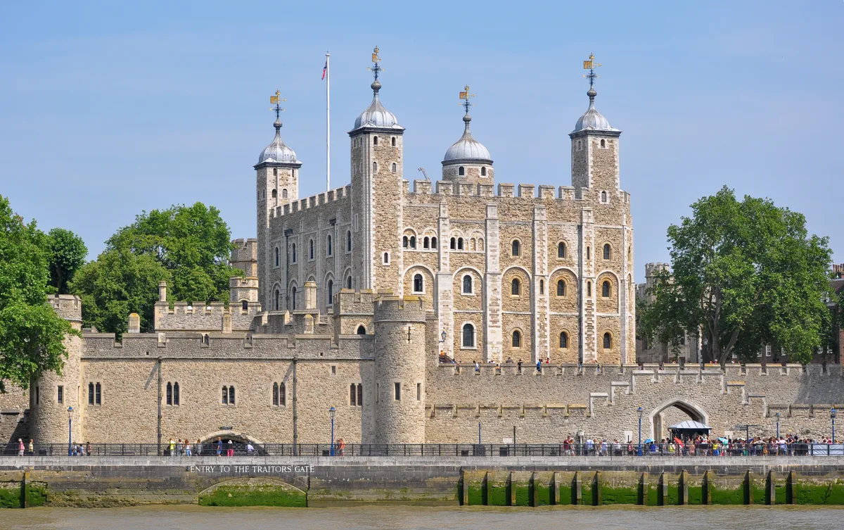
Tower of London
Tower of London — castle in central London, United Kingdom.
 📷 4
📷 4UNESCO World Heritage · Yorkshire & the Humber
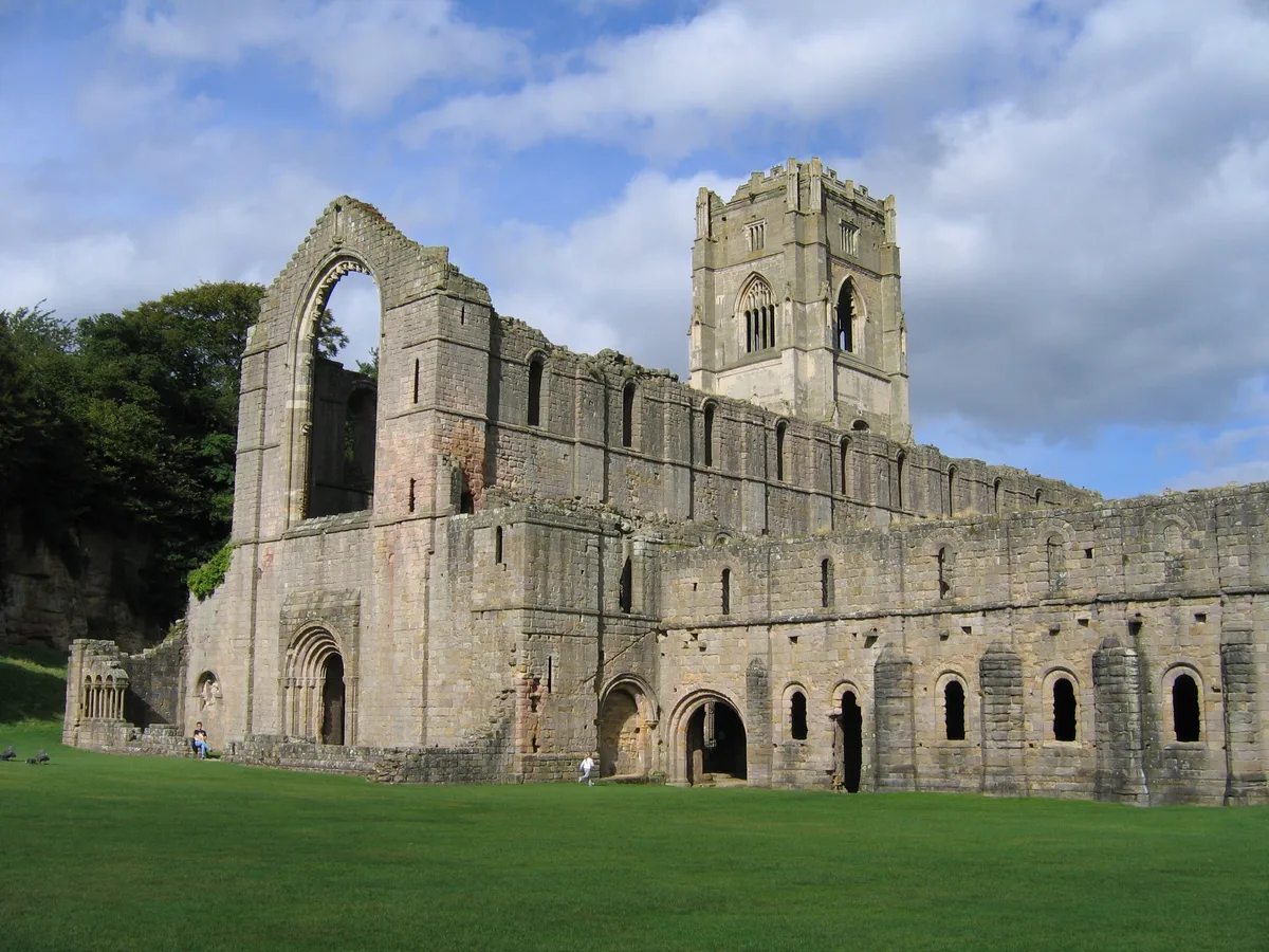
Fountains Abbey
Fountains Abbey — ruined Cistercian abbey in Yorkshire, England, UK.
More UNESCO sites in this region
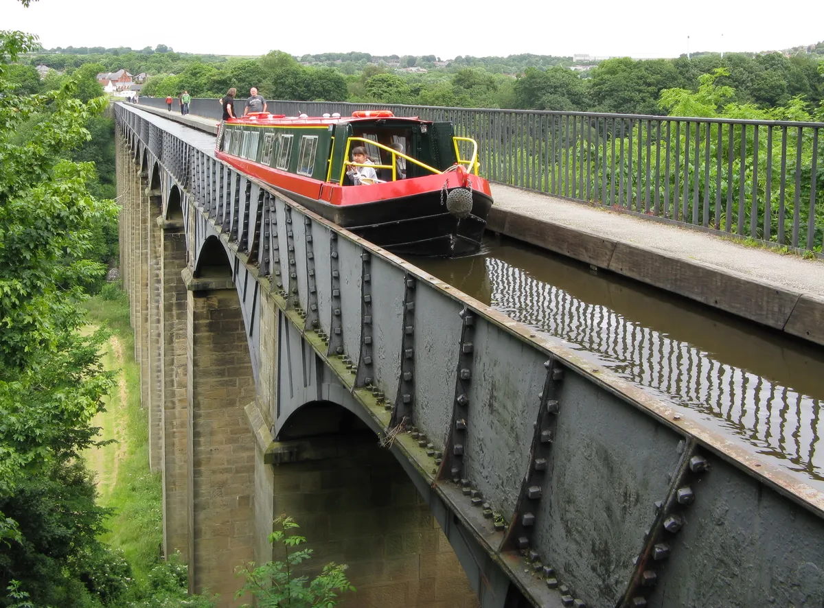 📷 5
📷 5UNESCO World Heritage · North Wales
Pontcysyllte Aqueduct
Pontcysyllte Aqueduct — navigable aqueduct in Wales.
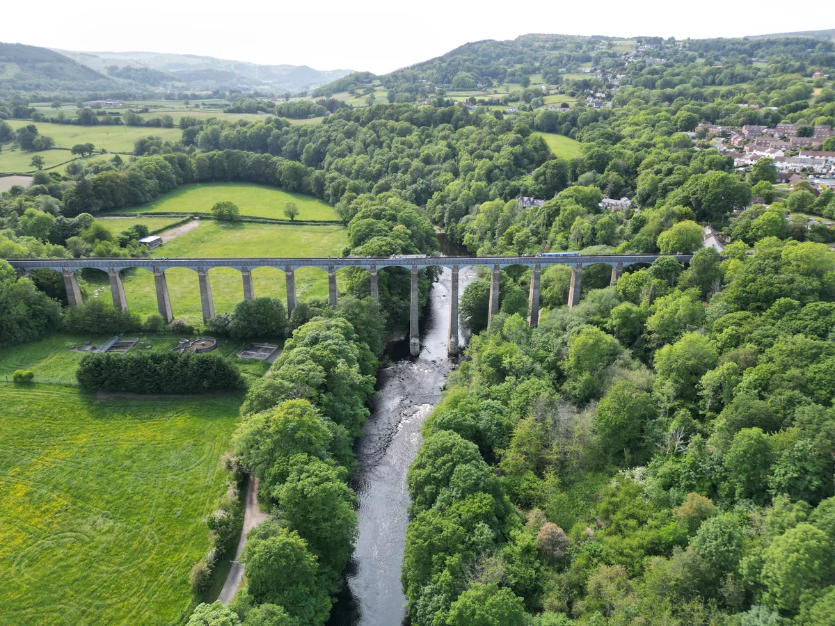 📷 3
📷 3UNESCO World Heritage · North Wales
Pontcysyllte Aqueduct and Canal
Pontcysyllte Aqueduct and Canal — World Heritage site in Weston Rhyn, Shropshire, England, UK.
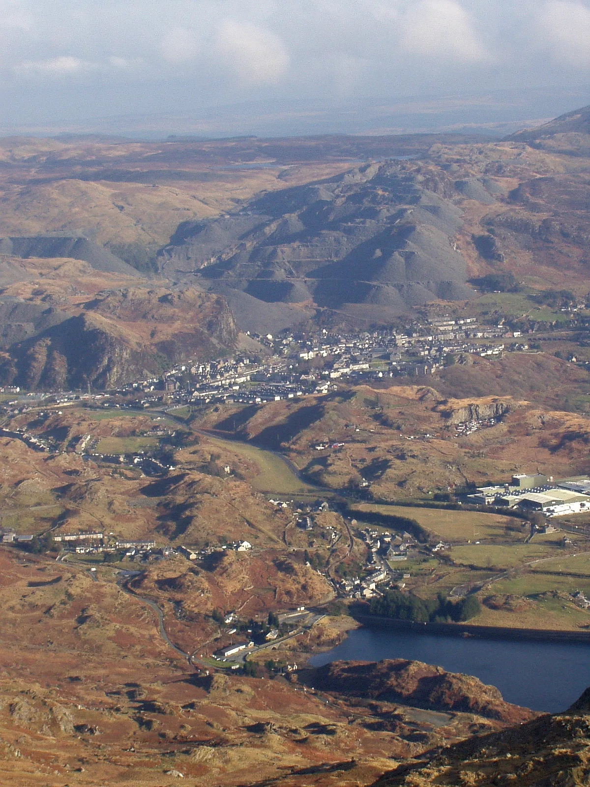 📷 3
📷 3UNESCO World Heritage · North Wales
The Slate Landscape of Northwest Wales
The Slate Landscape of Northwest Wales — UK World Heritage Site from July 2021.
Frequently asked questions
- Where is Castles and Town Walls of King Edward in Gwynedd?
- Castles and Town Walls of King Edward in Gwynedd is in North Wales, United Kingdom (postcode LL55 2AU), in the parish of Caernarfon.
- What is Castles and Town Walls of King Edward in Gwynedd?
- Castles and Town Walls of King Edward in Gwynedd — World Heritage site in the United Kingdom.
- How do I get to Castles and Town Walls of King Edward in Gwynedd?
- The nearest railway station is Caernarfon, about 0.4 km away. Drivers can use postcode LL55 2AU.
- When was Castles and Town Walls of King Edward in Gwynedd built?
- Built or established in 1280.
- How do I get to Castles and Town Walls of King Edward in Gwynedd?
- The nearest railway station is Caernarfon, about 0.4 km away. Drivers can navigate to postcode LL55 2AU.