
Mountains & hills · East Midlands
Parkhouse Hill
In or near Harpur Hill.
Parkhouse Hill — Named summit at 375 m.

Wikimedia Commons contributors — see linked file page for photographer and licence licence

Plan your visit
- Typical visit
- 3 h–8 h
- Best time of year
- Late spring – early autumn (May–Oct)
- Nearest railway station
- Buxton Miniature Railway · 6.8 km
- Free entry
- Dog-friendly
Getting there & planning your visit
Parkhouse Hill is located in the East Midlands, in Derbyshire, with the postcode SK17 0EW. The nearest railway station is Buxton Miniature Railway, which is 6.8 km away. Entry to the site is free.
About
Parkhouse Hill is a named summit in the United Kingdom. Wikidata describes it as: "Named summit at 375 m.". Coordinates: 53.1998°, -1.8823°.
Photo gallery
Protected designations
- Site of Special Scientific Interest: Chrome and Parkhouse Hills SSSI
- Site of Special Scientific Interest: Leek Moors SSSI
Designations sourced from Natural England open data under OGL v3.
From the Wikipedia article
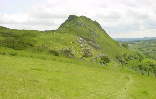
Parkhouse Hill is a small but distinctive hill in the Peak District National Park of the Hartington Middle Quarter civil parish, in the English county of Derbyshire. It lies on the north side of the River Dove, close to the border with Staffordshire. Geologically, the hill is the remains of an atoll (a 'reef knoll') which is believed to have existed during the Carboniferous period when what is now the Peak District was covered by a tropical sea. Together with its higher but less distinctive neighbour, Chrome Hill, it forms the Chrome and Parkhouse Hills SSSI, cited for their geology and limestone flora. The walk over Chrome Hill and Parkhouse Hill is known as the Dragon's Back ridge. For many years access to Parkhouse Hill was difficult, as there was no right of way to the summit. Access is now possible under the Countryside and Rights of Way Act 2000, as the hill is a designated access area. The path over the summit is rocky and steep and requires caution and a good level of fitness. A double sunset can sometimes be seen against Parkhouse Hill from nearby Glutton Grange; the phenomenon was first captured on film by the photographer Chris Doherty. The occurrence is visible in good weather in late March, early April and September, when the sun sets just to the south of the summit of the hill, begins to re-emerge almost immediately afterwards from its steep northern slope before fully reappearing and later sets for a second and final time at the foot of the hill.
Excerpt from Wikipedia under CC BY-SA 4.0. See the source article linked in Sources below.
- Coordinates
- 53.1998, -1.8823
- County
- Derbyshire
- District
- Derbyshire Dales
- Parish
- Hartington Middle Quarter
- Postcode
- SK17 0EW
- Parliamentary constituency
- Derbyshire Dales
- Nearest railway station
- Buxton Miniature Railway — 6.8 km
Sources
- osm: n493626650 (ODbL)
- wikipedia: Parkhouse Hill (CC BY-SA 4.0)
- commons: Parkhouse hill.jpg (CC BY-SA 4.0)
Other places nearby

Parkhouse Hill North Top
Mountains & hills · 0.3 km
Dowel Cave
Mountains & hills · 0.7 km

Nab End
Mountains & hills · 0.8 km
Nab End
Mountains & hills · 0.8 km
Nab End YHA Camping Barn
Hostels · 0.8 km

Hitter Hill
Mountains & hills · 0.8 km
Chrome Hill
Mountains & hills · 1.0 km

Earl Sterndale
Villages · 1.0 km

Dow Low
Mountains & hills · 1.5 km

Hollinsclough
Villages · 1.5 km

Bethel Chapel
Chapels · 1.5 km

Owl Hole
Caves · 1.6 km
Nearby
📷 5Mountains & hills · East Midlands
Parkhouse Hill North Top
Parkhouse Hill North Top — mountain in england east midlands. Elevation: 362 m.
📷 3Mountains & hills · East Midlands
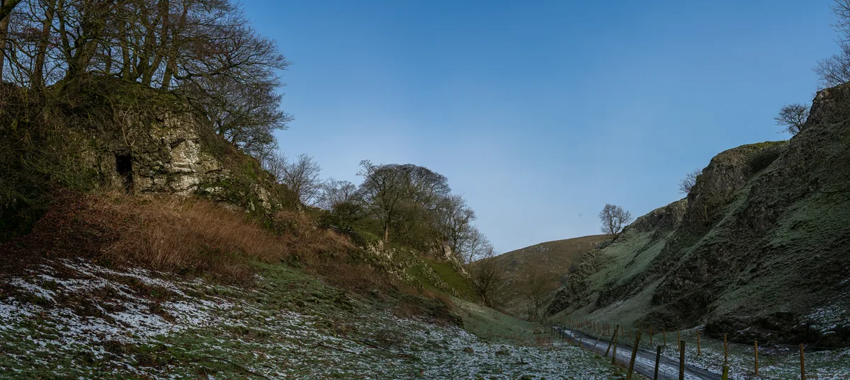
Dowel Cave
Dowel Cave — cave and Scheduled Monument in Derbyshire, England, UK.
📷 5Mountains & hills · East Midlands
Nab End
Nab End — mountain in england east midlands. Elevation: 361 m.
📷 5📷 5Hostels · East Midlands
Nab End YHA Camping Barn
Nab End YHA Camping Barn — a hostel in england east midlands.
📷 5Mountains & hills · East Midlands
Hitter Hill
Hitter Hill — mountain in england east midlands. Elevation: 362 m.
Where to eat & stay near Parkhouse Hill
Places to stay
📷 5Hostels · East Midlands
Nab End YHA Camping Barn
Nab End YHA Camping Barn — a hostel in england east midlands.
 📷 5
📷 5Campsites · East Midlands
Crowdecote Campsite
Crowdecote Campsite — a campsite in england east midlands.
 📷 5
📷 5 📷 5
📷 5Caravan parks · East Midlands
Clover Fields Touring Caravan Park
Clover Fields Touring Caravan Park — a caravan park in england east midlands.
 📷 5
📷 5 📷 5
📷 5Caravan parks · East Midlands
Pomeroy Camping and Caravan Park
Pomeroy Camping and Caravan Park — a caravan park in england east midlands.
Places to eat & drink
 📷 5
📷 5Historic pubs · West Midlands
Ye Olde Rock Inn
Ye Olde Rock Inn in England West Midlands, United Kingdom.
 📷 5
📷 5Historic pubs · East Midlands
Cat and Fiddle Inn
Cat and Fiddle Inn in England South East, United Kingdom.
 📷 3
📷 3Historic pubs · East Midlands
Bull's Head Inn
Bull's Head Inn — Historic pub — listed building or notable heritage status.
 📷 5
📷 5Historic pubs · East Midlands
The Square House
The Square House in England West Midlands, United Kingdom.
 📷 7
📷 7Historic pubs · East Midlands
The Three Stags' Heads
The Three Stags' Heads in England South East, United Kingdom.
 📷 5
📷 5More mountains in this region
 📷 5
📷 5Mountains & hills · East Midlands
Errwood Hall
The ruin of Errwood Hall is a popular tourist destination in the scenic Upper Goyt Valley within the Peak District of England.
 📷 3
📷 3 📷 5
📷 5 📷 3
📷 3Mountains & hills · East Midlands
Black Edge - Summit
Black Edge - Summit — Named summit at 506.7 m.
Frequently asked questions
- Where is Parkhouse Hill?
- Parkhouse Hill is in Derbyshire, the East Midlands, United Kingdom (postcode SK17 0EW), in the parish of Hartington Middle Quarter.
- What is Parkhouse Hill?
- Parkhouse Hill — Named summit at 375 m.
- How do I get to Parkhouse Hill?
- The nearest railway station is Buxton Miniature Railway, about 6.8 km away. The nearest town is Harpur Hill. Drivers can use postcode SK17 0EW.
- Is Parkhouse Hill a protected site?
- Yes — Parkhouse Hill is part of the Chrome and Parkhouse Hills SSSI Site of Special Scientific Interest and the Leek Moors SSSI Site of Special Scientific Interest.
- Is Parkhouse Hill free to visit?
- Yes, Parkhouse Hill is free to enter.
- How do I get to Parkhouse Hill?
- The nearest railway station is Buxton Miniature Railway, about 6.8 km away. Drivers can navigate to postcode SK17 0EW.