
Hill forts · North West England
New Hall moated site
In or near Croft.
New Hall moated site — scheduled monument in Tyldesley, Greater Manchester, England, UK.

Alex McGregor — CC BY-SA 2.0 via Wikimedia Commons licence

Plan your visit
- Typical visit
- 1 h–2 h
- Nearest railway station
- Trencherbone Platform · 1.3 km
- Free entry
- Dog-friendly
Getting there & planning your visit
To visit New Hall moated site, the nearest railway station is Trencherbone Platform, located 1.3 km away. The postcode for the site is M29 7GB, which you can use for sat-nav coordinates (latitude 53.5059, longitude -2.4547). Entry to the site is free.
About
New Hall moated site is a hill fort in the United Kingdom. Heritage designation: scheduled monument. Wikidata describes it as: "scheduled monument in Tyldesley, Greater Manchester, England, UK". Coordinates: 53.5059°, -2.4547°.
Photo gallery
From the Wikipedia article
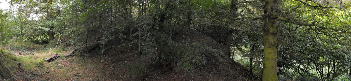
New Hall moated site is a scheduled monument in Tyldesley, Greater Manchester, England. It includes a moat and an island platform on which a modern house has been built. The island was the site of a medieval building. The moat measures between 20 and 30 metres across and is widest at the south west corner where the water soaks away to join a stream. The moat was revetted on the south side but the stonework is destroyed and is bridged on the same side by a modern stone bridge which replaced a timber structure. The rectangular island, measuring 60 metres by 40 metres, encloses an area of 0.25 hectares (0.62 acres) and is 0.4 metres above the surrounding land. Archaeological evidence of the medieval buildings will be present on the island and the moat will retain other environmental evidence. A ruined post-medieval farmhouse occupied a third of the island in 1983. The present modern buildings are excluded from the scheduling, although the ground beneath them is part of the schedule.
Excerpt from Wikipedia under CC BY-SA 4.0. See the source article linked in Sources below.
Background
History
New Hall, in the Park of Tyldesley, close to Damhouse by the Astley, Greater Manchester border, was in existence before 1422 when it belonged to Thomas Tyldesley. The hall and its 8.1 ha acres of land was the subject of a feud between the Tyldesleys and the Hultons of Hulton Park which ended in 1422 when Roger Hulton gave up any title he had to Hugh Tyldesley. Its occupant in 1692 was Henry Marsh who was elected overseer of the poor for Tyldesley lower side. It was described as a mansion house in 1716 when it was leased to a widow named Heyes. By 1742 Thomas Smith, a farmer, was tenant. In 1838 the property and its 23 Cheshire acres of land were owned by Lord Francis Edgerton who leased it…
Sourced from Wikipedia under CC BY-SA 4.0.
- Coordinates
- 53.5059, -2.4547
- District
- Wigan
- Parish
- Wigan, unparished area
- Postcode
- M29 7GB
- Parliamentary constituency
- Worsley and Eccles
- Nearest railway station
- Trencherbone Platform — 1.3 km
Sources
- wikidata: Q15262053 (CC0)
- wikipedia: New Hall moated site (CC BY-SA 4.0)
Other places nearby
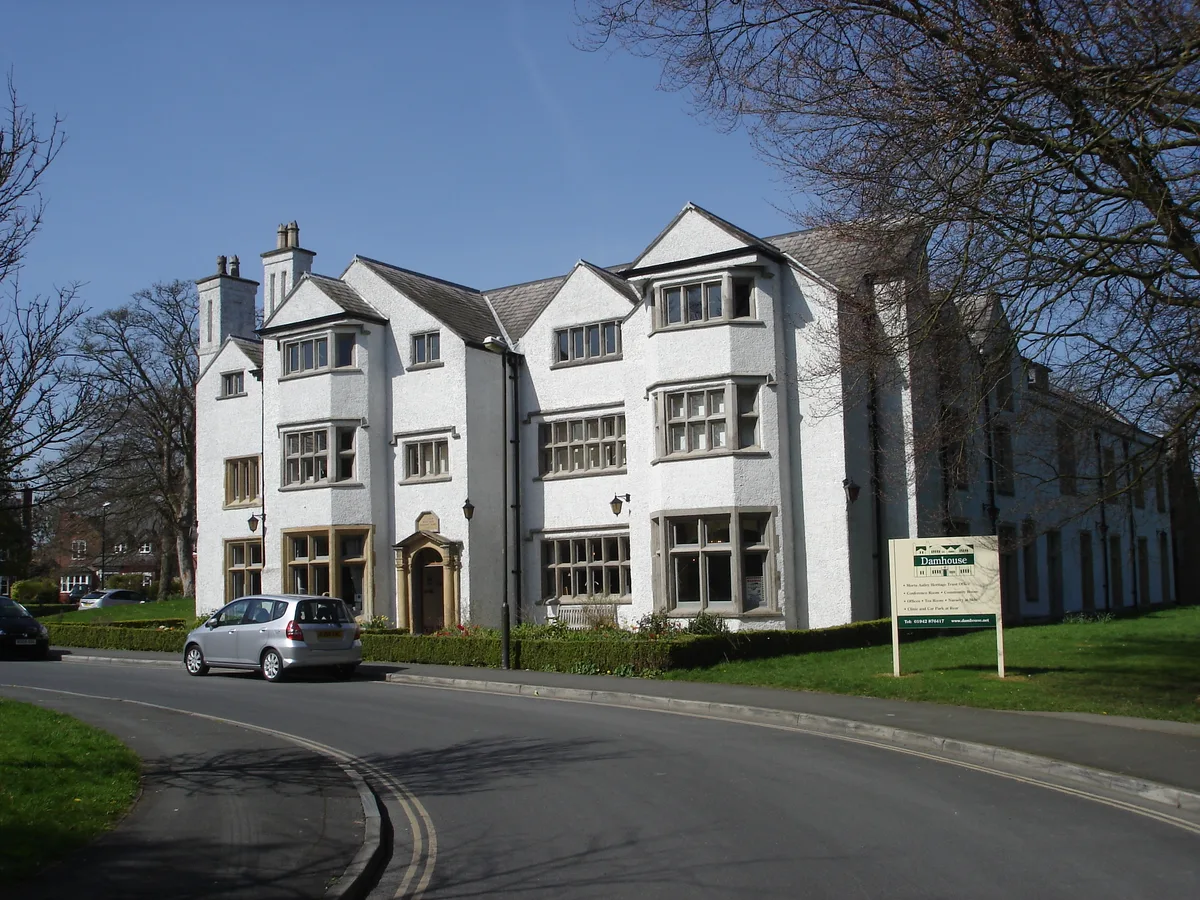
Damhouse
Stately homes · 0.3 km

Kinema
Theatres · 0.5 km
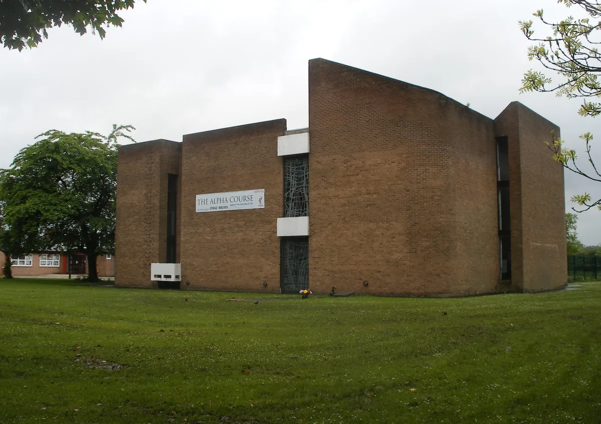
St Stephen's Church, Astley
Historic churches · 0.6 km

Astley, Greater Manchester
Castles · 0.8 km

Garrett Hall
Gardens · 0.9 km

Gin Pit Colliery Wheel
Public art & sculpture · 1.0 km

Tyldesley Top Chapel
Chapels · 1.2 km

Chaddock Hall
Gardens · 1.2 km
Winding House
Museums · 1.3 km

Astley Green Colliery Museum
Museums · 1.3 km
Tyldesley Little Theatre
Theatres · 1.3 km

Lancashire Mining Museum
Museums · 1.3 km
Nearby
📷 3Stately homes · North West England
Damhouse
Damhouse is a stately home in the United Kingdom.
📷 4📷 3Historic churches · North West England
St Stephen's Church, Astley
St Stephen's Church, Astley — church in United Kingdom.
📷 5Castles · North West England
Astley, Greater Manchester
Astley is a village in the Metropolitan Borough of Wigan, Greater Manchester, England. Within the boundaries of the historic county of Lancashire, it is crossed by the Bridgewater Canal and the A580 E
📷 5Gardens · North West England
Garrett Hall
Garrett Hall — a garden in england-north-west, United Kingdom.
📷 3Public art & sculpture · North West England
Gin Pit Colliery Wheel
Gin Pit Colliery Wheel — a public art in North West England, United Kingdom.
Where to eat & stay near New Hall moated site
Places to stay
 📷 5
📷 5Campsites · North West England
Hollinwood Scout Camp
Hollinwood Scout Camp — a campsite in england west midlands.
 📷 5
📷 5Caravan parks · North West England
Fairview Caravan Park
Fairview Caravan Park — a caravan park in england north west.
📷 4Caravan parks · North West England
Ella View Lodge
Ella View Lodge — a caravan park in england north west.
 📷 5
📷 5Caravan parks · North West England
Brookdale Park
Brookdale Park — a caravan park in england north west.
 📷 5
📷 5Hostels · North West England
Riverside Project
Riverside Project — a hostel in england west midlands.
 📷 5
📷 5Caravan parks · North West England
Crompton Lodge Caravan Park
Crompton Lodge Caravan Park — a caravan park in england north west.
Places to eat & drink
 📷 5
📷 5Historic pubs · North West England
Worsley Old Hall
Worsley Old Hall in England North West, United Kingdom.
 📷 5
📷 5Historic pubs · North West England
The Shakespeare
The Shakespeare in England North West, United Kingdom.
 📷 5
📷 5Historic pubs · North West England
The Grapes Hotel
The Grapes Hotel in England North West, United Kingdom.
 📷 5
📷 5Historic pubs · North West England
Queens Arms
Queens Arms in England North West, United Kingdom.
 📷 5
📷 5Historic pubs · North West England
Stanley Arms
Stanley Arms in England North West, United Kingdom.
 📷 5
📷 5Historic pubs · North West England
Lamb Hotel, Eccles
Lamb Hotel, Eccles in England North West, United Kingdom.
More places in this region
 📷 5
📷 5Hill forts · North West England
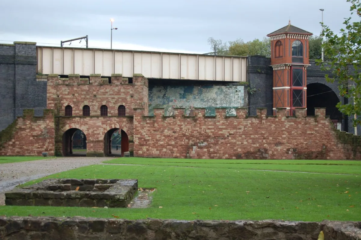
Mamucium
Mamucium — former Roman fort in the Castlefield area of Manchester in North West England.
 📷 3
📷 3Hill forts · North West England
Timperley Hall
Timperley Hall is a hill fort in the United Kingdom.
 📷 3
📷 3Hill forts · North West England
Watch Hill Castle
Watch Hill Castle — medieval castle in Bowdon, Greater Manchester, England, UK.
 📷 5
📷 5Hill forts · North West England
Buckton Castle
Buckton Castle — 12th-century castle in Mossley, Greater Manchester, England, UK.
Frequently asked questions
- Where is New Hall moated site?
- New Hall moated site is in North-West England, United Kingdom (postcode M29 7GB), in the parish of Wigan, unparished area.
- What is New Hall moated site?
- New Hall moated site — scheduled monument in Tyldesley, Greater Manchester, England, UK.
- How do I get to New Hall moated site?
- The nearest railway station is Trencherbone Platform, about 1.3 km away. The nearest town is Croft. Drivers can use postcode M29 7GB.
- Is New Hall moated site a listed building?
- New Hall moated site is officially recognised as scheduled monument listed.
- Is New Hall moated site free to visit?
- Yes, New Hall moated site is free to enter.
- How do I get to New Hall moated site?
- The nearest railway station is Trencherbone Platform, about 1.3 km away. Drivers can navigate to postcode M29 7GB.