
Castles · North West England
Astley, Greater Manchester
In or near Croft.
Astley is a village in the Metropolitan Borough of Wigan, Greater Manchester, England. Within the boundaries of the historic county of Lancashire, it is crossed by the Bridgewater Canal and the A580 E

Glyn Drury — CC BY-SA 2.0 via Wikimedia Commons licence

Plan your visit
- Typical visit
- 1.5 h–3 h
- Nearest railway station
- Trencherbone Platform · 0.6 km
- Family-friendly
- Limited wheelchair access
Getting there & planning your visit
To visit Astley Castle in Greater Manchester, the nearest railway station is Trencherbone Platform, located 0.6 km away. The postcode for sat-nav is M29 7HU. Please note that wheelchair accessibility is limited.
About
Astley is a village in the Metropolitan Borough of Wigan, Greater Manchester, England. Within the boundaries of the historic county of Lancashire, it is crossed by the Bridgewater Canal and the A580 East Lancashire Road. Continuous with Tyldesley, it is between Wigan and Manchester, both 8 miles (13 km) away. Astley Mosley Common ward had a population of 11,270 at the 2011 Census. Astley's name is Old English, indicating Anglo-Saxon settlement. It means either "east (of) Leigh", or ēastlēah the "eastern wood or clearing". Throughout the Middle Ages, Astley constituted a township within the parish of Leigh and hundred of West Derby. Astley appears in written form as Asteleghe in 1210, when its lord of the manor granted land to the religious order of Premonstratensian canons at Cockersand Abbey. Medieval and Early Modern Astley is distinguished by the dignitaries who occupied Damhouse, the local manor house around which a settlement expanded. The Bridgewater Canal reached Astley in 1795, and the Liverpool and Manchester Railway in 1830. The Industrial Revolution introduced the factory system when the village's cotton mill was built in 1833. Coal mining became an important industry. Mining subsidence and a decline in coal production led to a reduction in the industry in the mid-20th century; its cotton mill closed in 1955, and the last coal was brought to the surface in 1970. Astley Green Colliery Museum houses collections of Astley's industrial heritage.
Photo gallery
See it from the streetimagery from 2024
Imagery © Mapillary contributors, CC BY-SA 4.0
From the Wikipedia article
Astley is a village in the Metropolitan Borough of Wigan, Greater Manchester, England. Within the boundaries of the historic county of Lancashire, it is crossed by the Bridgewater Canal and the A580 East Lancashire Road. Continuous with Tyldesley, it is between Wigan and Manchester, both 8 miles (13 km) away. Astley Mosley Common ward had a population of 11,270 at the 2011 Census. Astley's name is Old English, indicating Anglo-Saxon settlement. It means either "east (of) Leigh", or ēastlēah the "eastern wood or clearing". Throughout the Middle Ages, Astley constituted a township within the parish of Leigh and hundred of West Derby. Astley appears in written form as Asteleghe in 1210, when its lord of the manor granted land to the religious order of Premonstratensian canons at Cockersand Abbey. Medieval and Early Modern Astley is distinguished by the dignitaries who occupied Damhouse, the local manor house around which a settlement expanded. The Bridgewater Canal reached Astley in 1795, and the Liverpool and Manchester Railway in 1830. The Industrial Revolution introduced the factory system when the village's cotton mill was built in 1833. Coal mining became an important industry. Mining subsidence and a decline in coal production led to a reduction in the industry in the mid-20th century; its cotton mill closed in 1955, and the last coal was brought to the surface in 1970. Astley Green Colliery Museum houses collections of Astley's industrial heritage.
Excerpt from Wikipedia under CC BY-SA 4.0. See the source article linked in Sources below.
Background
History
The earliest evidence of human activity in the area is the remains of a Roman road which served as the route between Roman camps at Coccium (Wigan) and Mamucium (Manchester). The road ran to the north of Astley, past Keeper Delph and through Tyldesley. Evidence for the presence of Anglo-Saxons in the sparsely populated, heavily wooded and isolated region is provided by place names incorporating the Old English suffix leah, such as in Leigh, Tyldesley, Shakerley and Astley.
Sourced from Wikipedia under CC BY-SA 4.0.
- Coordinates
- 53.5008, -2.4454
- District
- Wigan
- Parish
- Wigan, unparished area
- Postcode
- M29 7HU
- Parliamentary constituency
- Worsley and Eccles
- Nearest railway station
- Trencherbone Platform — 0.6 km
Sources
- wikipedia: Astley, Greater Manchester (CC BY-SA 4.0)
Other places nearby

Kinema
Theatres · 0.3 km

Astley Green Colliery Museum
Museums · 0.6 km

Lancashire Mining Museum
Museums · 0.6 km
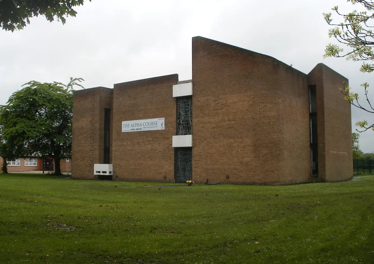
St Stephen's Church, Astley
Historic churches · 0.7 km
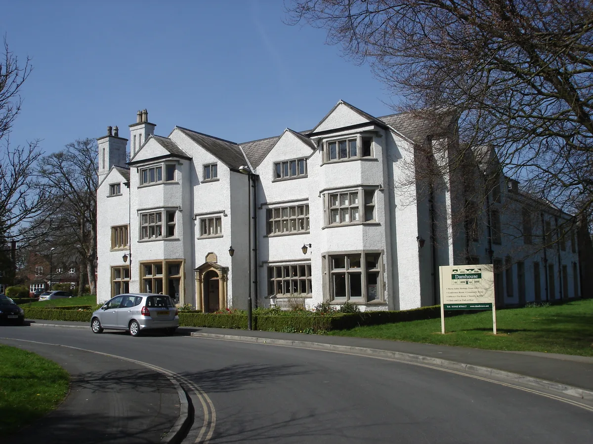
Damhouse
Stately homes · 0.7 km

Chaddock Hall
Gardens · 0.8 km

New Hall moated site
Hill forts · 0.8 km

Garrett Hall
Gardens · 1.1 km
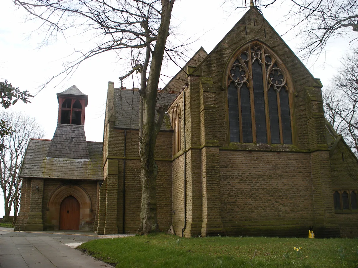
St John's Church, Mosley Common
Historic churches · 1.2 km

Mosley Common
Historic churches · 1.4 km
Mosley Common Colliery Commemorative Wheel
Memorials & monuments · 1.5 km

Gin Pit Colliery Wheel
Public art & sculpture · 1.7 km
Nearby
📷 4📷 5Museums · North West England
Astley Green Colliery Museum
The Astley Green Colliery Museum is a heritage museum in Astley near Tyldesley in Greater Manchester, England, operated by the Red Rose Steam Society. The site was originally a working colliery that p
📷 3Museums · North West England
Lancashire Mining Museum
Lancashire Mining Museum — a museum in england-west-midlands, United Kingdom.
📷 3Historic churches · North West England
St Stephen's Church, Astley
St Stephen's Church, Astley — church in United Kingdom.
📷 3Stately homes · North West England
Damhouse
Damhouse is a stately home in the United Kingdom.
📷 3Gardens · North West England
Chaddock Hall
Chaddock Hall — a garden in england-north-west, United Kingdom.
Where to eat & stay near Astley, Greater Manchester
Places to stay
 📷 5
📷 5Campsites · North West England
Hollinwood Scout Camp
Hollinwood Scout Camp — a campsite in england west midlands.
 📷 5
📷 5Caravan parks · North West England
Brookdale Park
Brookdale Park — a caravan park in england north west.
 📷 5
📷 5Caravan parks · North West England
Fairview Caravan Park
Fairview Caravan Park — a caravan park in england north west.
📷 4Caravan parks · North West England
Ella View Lodge
Ella View Lodge — a caravan park in england north west.
 📷 5
📷 5Hostels · North West England
Riverside Project
Riverside Project — a hostel in england west midlands.
 📷 5
📷 5Caravan parks · North West England
Crompton Lodge Caravan Park
Crompton Lodge Caravan Park — a caravan park in england north west.
Places to eat & drink
 📷 5
📷 5Historic pubs · North West England
Worsley Old Hall
Worsley Old Hall in England North West, United Kingdom.
 📷 5
📷 5Historic pubs · North West England
The Grapes Hotel
The Grapes Hotel in England North West, United Kingdom.
 📷 5
📷 5Historic pubs · North West England
Queens Arms
Queens Arms in England North West, United Kingdom.
 📷 5
📷 5Historic pubs · North West England
The Shakespeare
The Shakespeare in England North West, United Kingdom.
 📷 5
📷 5Historic pubs · North West England
Stanley Arms
Stanley Arms in England North West, United Kingdom.
 📷 5
📷 5Historic pubs · North West England
Lamb Hotel, Eccles
Lamb Hotel, Eccles in England North West, United Kingdom.
More castles in this region
 📷 3
📷 3Castles · North West England
Manchester Castle
Manchester Castle — medieval fortified manor house in England.
 📷 5
📷 5Castles · North West England
Mow Cop Castle
Mow Cop Castle — folly on the Cheshire and Staffordshire border, England, UK.
 📷 3
📷 3 📷 3
📷 3Castles · North West England
Ullerwood Castle
Ullerwood Castle — castle in Greater Manchester, England.
Frequently asked questions
- Where is Astley, Greater Manchester?
- Astley, Greater Manchester is in North-West England, United Kingdom (postcode M29 7HU), in the parish of Wigan, unparished area.
- What is Astley, Greater Manchester?
- Astley is a village in the Metropolitan Borough of Wigan, Greater Manchester, England. Within the boundaries of the historic county of Lancashire, it is crossed by the Bridgewater Canal and the A580 E
- How do I get to Astley, Greater Manchester?
- The nearest railway station is Trencherbone Platform, about 0.6 km away. Drivers can use postcode M29 7HU.
- Does Astley, Greater Manchester charge admission?
- Astley, Greater Manchester typically charges admission. Check the official site for current ticket prices and opening hours.
- How do I get to Astley, Greater Manchester?
- The nearest railway station is Trencherbone Platform, about 0.6 km away. Drivers can navigate to postcode M29 7HU.