
Caravan parks · North West England
Ella View Lodge
In or near Haigh.
Ella View Lodge — a caravan park in england north west.

Anthony Parkes — CC BY-SA 2.0 via Wikimedia Commons licence

Plan your visit
- Typical visit
- 1 h–2 h
- Nearest railway station
- Hag Fold · 1.0 km
About
Ella View Lodge is a caravan park located in england north west. Caravan park listed with verified location and OSM metadata. Touring pitches, static availability and seasonal opening vary — confirm directly with the park.
Photo gallery
Place summary
Ella View Lodge is a caravan park located in North-West England. Visitors can expect a tranquil setting with facilities suitable for caravanning. The park provides a base for exploring the surrounding countryside and attractions in the region.
AI-generated from the structured facts on this page (operator, designation, listing, era). Not a substitute for visiting.
- Coordinates
- 53.5289, -2.5076
- District
- Wigan
- Parish
- Wigan, unparished area
- Postcode
- M46 0RH
- Parliamentary constituency
- Leigh and Atherton
- Nearest railway station
- Hag Fold — 1 km
Sources
- osm: n6629572261 (ODbL)
Other places nearby
Fairview Caravan Park
Caravan parks · 0.2 km

Climbing New Heights
Public art & sculpture · 0.6 km

St James' Church, Daisy Hill
Historic churches · 0.9 km

Gem Electric Palace
Theatres · 1.0 km

Howe Bridge
Historic churches · 1.0 km
Atherton, Greater Manchester
Castles · 1.1 km
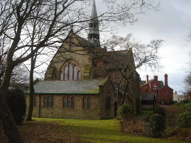
St Michael and All Angels' Church, Howe Bridge
Historic churches · 1.3 km
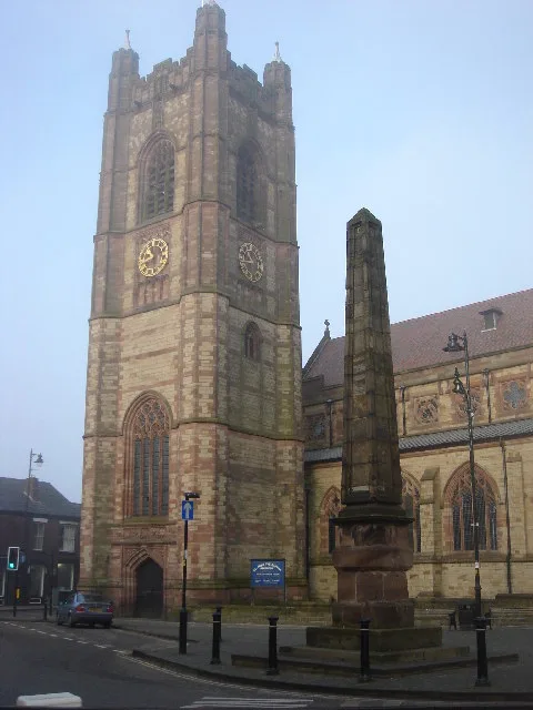
St John the Baptist's Church, Atherton
Historic churches · 1.3 km

Obelisk Adjacent To South-East Corner Of Church Of St. John The Baptist
Forts · 1.3 km
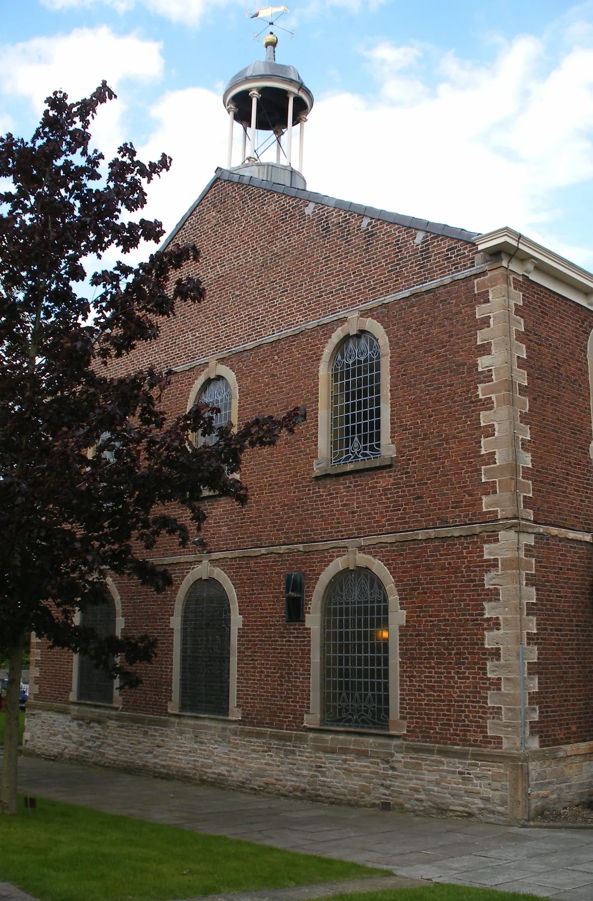
Chowbent Chapel
Historic churches · 1.5 km

Alder House
Historic houses · 1.6 km
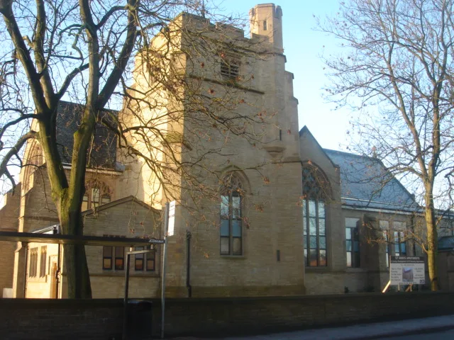
St Anne's Church, Hindsford
Historic churches · 2.1 km
Nearby
📷 5Caravan parks · North West England
Fairview Caravan Park
Fairview Caravan Park — a caravan park in england north west.
📷 3Public art & sculpture · North West England
Climbing New Heights
Climbing New Heights — a public art in North West England, United Kingdom.
📷 3Historic churches · North West England
St James' Church, Daisy Hill
St James' Church, Daisy Hill — church in Westhoughton, Bolton, Greater Manchester, England, UK.
📷 3Theatres · North West England
Gem Electric Palace
Gem Electric Palace in England North West, United Kingdom.
📷 5Historic churches · North West England
Howe Bridge
Howe Bridge — a church in england-north-west, United Kingdom.
📷 5Castles · North West England
Atherton, Greater Manchester
Atherton () is a town in the Metropolitan Borough of Wigan, Greater Manchester, England, historically part of Lancashire. It is five miles (eight kilometres) south of Bolton, seven miles (eleven kilom
Where to eat & stay near Ella View Lodge
Places to stay
📷 5Caravan parks · North West England
Fairview Caravan Park
Fairview Caravan Park — a caravan park in england north west.
 📷 5
Hostels · North West England
Riverside Project
Riverside Project — a hostel in england west midlands.
 📷 5
Caravan parks · North West England
Brookdale Park
Brookdale Park — a caravan park in england north west.
 📷 5
Hotels · North West England
Bolton Georgian House Hotel
Bolton Georgian House Hotel — a hotel in england north west.
 📷 5
Campsites · North West England
Hollinwood Scout Camp
Hollinwood Scout Camp — a campsite in england west midlands.
 📷 5
Caravan parks · North West England
Crompton Lodge Caravan Park
Crompton Lodge Caravan Park — a caravan park in england north west.
Places to eat & drink
 📷 5
Historic pubs · North West England
The Shakespeare
The Shakespeare in England North West, United Kingdom.
 📷 7
Historic pubs · North West England
Blundell Arms
Blundell Arms in England North West, United Kingdom.
 📷 5
Historic pubs · North West England
Ye Olde Man & Scythe
Ye Olde Man & Scythe — Historic pub — listed building or notable heritage status.
 📷 5
Historic pubs · North West England
Worsley Old Hall
Worsley Old Hall in England North West, United Kingdom.
 📷 6
Historic pubs · North West England
Royal Oak Hotel
Royal Oak Hotel in England North West, United Kingdom.
 📷 7
Historic pubs · North West England
The Whitesmiths Arms
The Whitesmiths Arms in England North West, United Kingdom.
More places in this region
 📷 5
Caravan parks · North West England
Agden Brow Caravan Park
Agden Brow Caravan Park — a caravan park in england west midlands.
 📷 5
Caravan parks · North West England
Canal Bank Farm caravan site
Canal Bank Farm caravan site — a caravan park in england west midlands.
 📷 5
 📷 5
Caravan parks · North West England
Woodlands Park
Woodlands Park — a caravan park in england west midlands.
Frequently asked questions
- Where is Ella View Lodge?
- Ella View Lodge is in North-West England, United Kingdom (postcode M46 0RH), in the parish of Wigan, unparished area.
- What is Ella View Lodge?
- Ella View Lodge — a caravan park in england north west.
- How do I get to Ella View Lodge?
- The nearest railway station is Hag Fold, about 1.0 km away. The nearest town is Haigh. Drivers can use postcode M46 0RH.
- How do I get to Ella View Lodge?
- The nearest railway station is Hag Fold, about 1.0 km away. Drivers can navigate to postcode M46 0RH.