
Mountains & hills · East Midlands
Naseby Hill
In or near Haselbech.
Naseby Hill — mountain in england west midlands. Elevation: 197 m.

Stephen McKay — CC BY-SA 2.0 via Wikimedia Commons licence

Plan your visit
- Typical visit
- 3 h–8 h
- Best time of year
- Late spring – early autumn (May–Oct)
- Dog-friendly
About
Naseby Hill is a mountain located in england west midlands. Elevation: 197 m. A named British peak recorded in OpenStreetMap. Peaks are typically named on Ordnance Survey 1:50k mapping.
Photo gallery
Place summary
Naseby Hill is a mountain located in the West Midlands. It is known for its natural landscape and offers opportunities for outdoor activities. Visitors can expect a variety of walking paths and scenic views typical of the region's hilly terrain. The area is suitable for both casual walkers and more experienced hikers.
AI-generated from the structured facts on this page (operator, designation, listing, era). Not a substitute for visiting.
- Coordinates
- 52.3994, -0.9818
- District
- West Northamptonshire
- Parish
- Naseby
- Postcode
- NN6 6DE
- Parliamentary constituency
- Daventry
Sources
- osm: n11698972037 (ODbL)
Other places nearby
Monument At National Grid Reference Sp 6937 7842
Forts · 0.0 km

Battle Of Naseby
Memorials & monuments · 0.0 km

Source of River Avon
Memorials & monuments · 0.5 km

Naseby
Villages · 0.8 km

Fairfax's Viewpoint
Viewpoints · 0.8 km

Naseby Field
Battlefields & battle sites · 1.8 km
Monument At National Grid Reference Sp 6847 7999
Memorials & monuments · 1.8 km
Battle of Naseby
Memorials & monuments · 1.8 km

Medieval settlement at Haselbech
Vineyards · 2.0 km

Haselbech
Towns & cities · 2.3 km
Purser's Hills
Mountains & hills · 2.4 km
Cott Hill
Mountains & hills · 3.2 km
Nearby
📷 5Forts · East Midlands
Monument At National Grid Reference Sp 6937 7842
Monument At National Grid Reference Sp 6937 7842 — a martello broad in england-west-midlands, United Kingdom.
📷 5Memorials & monuments · East Midlands
Battle Of Naseby
Battle Of Naseby is a memorial in the United Kingdom.
📷 3Memorials & monuments · East Midlands
Source of River Avon
Source of River Avon — a memorial in East Midlands, United Kingdom.
📷 5📷 3Viewpoints · East Midlands
Fairfax's Viewpoint
Fairfax's Viewpoint is a viewpoint in the United Kingdom.
📷 4Battlefields & battle sites · East Midlands
Naseby Field
Naseby Field is the location of the Battle of Naseby, a cardinal battle of the English Civil War which resulted in a disastrous royalist defeat. It is located roughly twenty miles north of Northampton
Where to eat & stay near Naseby Hill
Places to stay
 📷 5
Campsites · East Midlands
Brook Meadow
Brook Meadow — a campsite in england west midlands.
 📷 5
Campsites · East Midlands
Country Bumpkin Yurts
Country Bumpkin Yurts — a campsite in england west midlands.
 📷 5
 📷 5
 📷 5
 📷 5
Places to eat & drink
 📷 5
Historic pubs · East Midlands
The Three Swans Hotel
The Three Swans Hotel in England East Midlands, United Kingdom.
 📷 5
Historic pubs · East Midlands
The Shoulder Of Mutton Public House
The Shoulder Of Mutton Public House in England East Midlands, United Kingdom.
 📷 5
Historic pubs · East Midlands
Red Lion Public House And Attached Barn
Red Lion Public House And Attached Barn in England West Midlands, United Kingdom.
 📷 3
Historic pubs · East Midlands
The Griffin Inn
The Griffin Inn — Historic pub — listed building or notable heritage status.
 📷 5
Historic pubs · East Midlands
Rowell Charter Inn
Rowell Charter Inn in England East Midlands, United Kingdom.
 📷 5
Historic pubs · East Midlands
Rothwell House Hotel
Rothwell House Hotel in England East Midlands, United Kingdom.
More mountains in this region
 📷 5
Mountains & hills · East Midlands
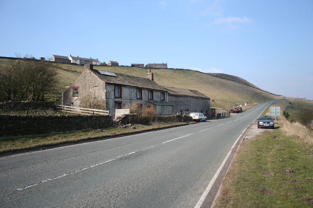
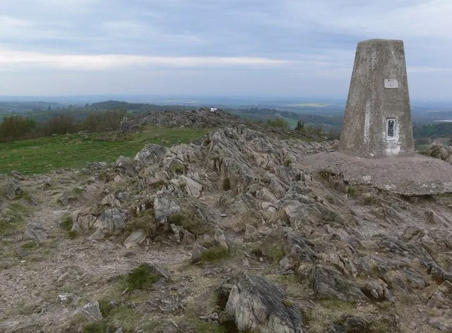
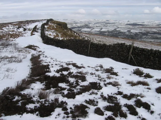
Errwood Hall
The ruin of Errwood Hall is a popular tourist destination in the scenic Upper Goyt Valley within the Peak District of England.
 📷 3
 📷 5
 📷 3
Mountains & hills · East Midlands
Black Edge - Summit
Black Edge - Summit — Named summit at 506.7 m.
Frequently asked questions
- Where is Naseby Hill?
- Naseby Hill is in the East Midlands, United Kingdom (postcode NN6 6DE), in the parish of Naseby.
- What is Naseby Hill?
- Naseby Hill — mountain in england west midlands. Elevation: 197 m.
- How do I get to Naseby Hill?
- The nearest town is Haselbech. Drivers can use postcode NN6 6DE.
- How do I get to Naseby Hill?
- Drivers can navigate to postcode NN6 6DE. It sits within the Daventry parliamentary constituency.