
Historic bridges · South East England
Moulsford Railway Bridge (1892)
In or near Ipsden.
Moulsford Railway Bridge (1892) is a historic bridge in the United Kingdom.

Wikimedia Commons contributors — see linked file page for photographer and licence licence

Plan your visit
- Typical visit
- 15 min–30 min
- Nearest railway station
- Cholsey · 1.7 km
- Free entry
- Dog-friendly
Getting there & planning your visit
Moulsford Railway Bridge is located in South Oxfordshire, with the nearest railway station being Cholsey, approximately 1.7 km away. Entry to the bridge is free. The postcode for sat-nav is OX10 9EX.
About
Moulsford Railway Bridge (1892) is a named historic bridge in the United Kingdom. Coordinates: 51.5583°, -1.1426°. This entry is part of The Great Britain Guide, a free, ad-free, open-data tourist directory.
Photo gallery
360° viewimagery from 2019
Imagery © Mapillary contributors, CC BY-SA 4.0
Protected designations
- Area of Outstanding Natural Beauty: Chilterns
- Area of Outstanding Natural Beauty: North Wessex Downs
Designations sourced from Natural England open data under OGL v3.
From the Wikipedia article
Moulsford Railway Bridge, also known locally as "Four Arches" bridge, is a pair of parallel bridges located a little to the north of Moulsford and South Stoke in Oxfordshire, UK. It carries the Great Western Main Line from Paddington, London to Wales and the West across the River Thames. The bridge lies between the stations at Goring & Streatley and Cholsey, and crosses the Thames at an oblique angle on the reach between Cleeve Lock and Benson Lock. The original Moulsford Railway Bridge was built between 1838 and 1840, having been designed by Isambard Kingdom Brunel for the main trunk route of the Great Western Railway. Built to carry a pair of broad gauge tracks across the Thames, it consists of four low semi-elliptical arches spanning the Thames at a considerably skewed angle of 60 degrees. During the 1890s, a second bridge was built immediately parallel to the original structure, enabling the railway to be expanded to a quadruple track configuration. The bridge was subsequently recognised as a Grade II* listed structure. The lines across the structure were electrified during the 2010s.
Excerpt from Wikipedia under CC BY-SA 4.0. See the source article linked in Sources below.
- Coordinates
- 51.5583, -1.1426
- County
- Oxfordshire
- District
- South Oxfordshire
- Parish
- Moulsford
- Postcode
- OX10 9EX
- Parliamentary constituency
- Didcot and Wantage
- Nearest railway station
- Cholsey — 1.7 km
- Opening
- 1839 and 1892
- Official site
- www.visitthames.co.uk
Sources
- osm: w585146503 (ODbL)
- wikipedia: Moulsford Railway Bridge (CC BY-SA 4.0)
- commons: MoulsfordRlyBr01.JPG (CC BY-SA 4.0)
Other places nearby
Moulsford Railway Bridge (1839)
Historic bridges · 0.0 km

Moulsford
Villages · 0.8 km

Cholsey Marsh
Forests & woodlands · 0.9 km

Cranford House School
Historic houses · 0.9 km

Cholsey Marsh
Wildlife reserves · 1.0 km

Silly Bridge (MLN1/47 79)
Historic bridges · 1.0 km

South Stoke
Villages · 1.2 km

The Great Hall
Cinemas · 1.3 km

White Hill
Mountains & hills · 1.4 km

Cholsey
Villages · 1.8 km
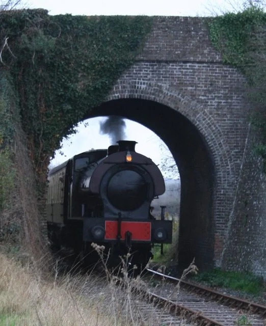
Cholsey & Wallingford Railway
Heritage railways · 1.9 km
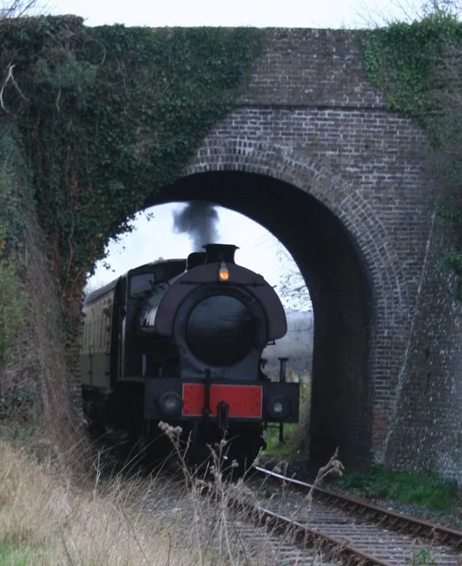
Cholsey & Wallingford Railway
Heritage railways · 2.0 km
Nearby
📷 5Historic bridges · South East England
Moulsford Railway Bridge (1839)
Moulsford Railway Bridge (1839) is a historic bridge in the United Kingdom.
📷 5📷 5Forests & woodlands · South East England
Cholsey Marsh
Cholsey Marsh is a forest or woodland in the United Kingdom.
📷 5Historic houses · South East England
Cranford House School
Cranford House School — a school heritage in england-south-east, United Kingdom.
📷 5Wildlife reserves · South East England
Cholsey Marsh
Cholsey Marsh — nature reserve near Cholsey, Oxfordshire, England.
📷 5Historic bridges · South East England
Silly Bridge (MLN1/47 79)
Silly Bridge (MLN1/47 79) — Grade II listed building-listed bridge in england-south-east, United Kingdom.
Where to eat & stay near Moulsford Railway Bridge (1892)
Places to stay
 📷 5
📷 5 📷 5📷 5
Campsites · South East England
Braziers Park Campsite
Braziers Park Campsite — a campsite in england south east.
📷 5📷 5 📷 5
📷 5Campsites · South East England
Ridgeway View Campsite
Ridgeway View Campsite — a campsite in england south east.
Places to eat & drink
 📷 7
📷 7Historic pubs · South East England
The Bull Hotel
The Bull Hotel in England South East, United Kingdom.
 📷 5
📷 5Historic pubs · South East England
The Catherine Wheel Public House
The Catherine Wheel Public House in England South East, United Kingdom.
 📷 7
📷 7Historic pubs · South East England
The Chequers Inn Public House
The Chequers Inn Public House in England South East, United Kingdom.
 📷 5
📷 5Historic pubs · South East England
Row Barge Public House
Row Barge Public House in England South East, United Kingdom.
 📷 5
📷 5 📷 5
📷 5Historic pubs · South East England
Town Arms
Town Arms — Historic pub — listed building or notable heritage status.
More bridges in this region
 📷 5
📷 5Historic bridges · South East England
Briary Hill Bridge east
Briary Hill Bridge east is a historic bridge in the United Kingdom.
 📷 5
📷 5Historic bridges · South East England
Briary Hill Bridge west
Briary Hill Bridge west is a historic bridge in the United Kingdom.
 📷 5
📷 5Historic bridges · South East England
Bridge 157 VIR (Bath Hard Road)
Bridge 157 VIR (Bath Hard Road) is a historic bridge in the United Kingdom.
 📷 5
📷 5Historic bridges · South East England
Dorking Arch Bridge
Dorking Arch Bridge is a historic bridge in the United Kingdom.
Frequently asked questions
- Where is Moulsford Railway Bridge (1892)?
- Moulsford Railway Bridge (1892) is in Oxfordshire, South-East England, United Kingdom (postcode OX10 9EX), in the parish of Moulsford.
- What is Moulsford Railway Bridge (1892)?
- Moulsford Railway Bridge (1892) is a historic bridge in the United Kingdom.
- How do I get to Moulsford Railway Bridge (1892)?
- The nearest railway station is Cholsey, about 1.7 km away. The nearest town is Ipsden. Drivers can use postcode OX10 9EX.
- Is Moulsford Railway Bridge (1892) a protected site?
- Yes — Moulsford Railway Bridge (1892) is part of the Chilterns National Landscape (AONB) and the North Wessex Downs National Landscape (AONB).
- Is Moulsford Railway Bridge (1892) free to visit?
- Yes, Moulsford Railway Bridge (1892) is free to enter.
- How do I get to Moulsford Railway Bridge (1892)?
- The nearest railway station is Cholsey, about 1.7 km away. Drivers can navigate to postcode OX10 9EX.