
Historic bridges · South East England
Silly Bridge (MLN1/47 79)
In or near Ipsden.
Silly Bridge (MLN1/47 79) — Grade II listed building-listed bridge in england-south-east, United Kingdom.

Bill Nicholls — CC BY-SA 2.0 via Wikimedia Commons licence

Plan your visit
- Typical visit
- 15 min–30 min
- Nearest railway station
- Cholsey · 0.8 km
- Free entry
- Dog-friendly
Getting there & planning your visit
To visit Silly Bridge, the nearest railway station is Cholsey, located 0.8 km away. The postcode for navigation is OX10 9HW. Entry is free.
About
Silly Bridge (MLN1/47 79) is a Grade II listed building-listed bridge in england-south-east, United Kingdom, registered on the National Heritage List for England (NHLE entry 1409244). Listed status protects buildings and structures of special architectural or historic interest. See the linked Wikipedia article for further details.
Photo gallery
See it from the streetimagery from 2019
Imagery © Mapillary contributors, CC BY-SA 4.0
Heritage listing
Details MATERIALS: local red brick for the original (south or Down side) portion of the bridge; GWR red and purple engineering brick for the 1890s portion (north or Up side). English bond. Stone coping. DESCRIPTION: from the south (Down) side) to the north (Up) side: the c. 1840 portion has a curved wing wall/abutment, a 17ft 6in [5.2m] side arch and the taller original central arch with a span of 30ft [9m]. The tapered piers have a single tapered transverse arch each. The c. 1893 portion commences with a widening of the north pier, from which springs an arch with a 26ft 6in [7.9m] span and finishes with curved abutment/wing walls. The two contrasting phases of brickwork are clearly delineated by a straight joint all the way from the foot of the northern pier to the coping, but otherwise all detailing is entirely consistent across both parts, including impost bands, roll-moulded string course, the original stone coping stones (reused on the 1893 portion) and terminating piers. The only exception is the parapets of the 1893 portion, which step up twice towards the higher cutting on the north side. Some engineering brick patching to the inner faces of the parapets, and recent wire mesh fencing attached to the coping. Silly Bridge stands in a rural landscape in the North Wessex Downs Area of Outstanding Natural Beauty .
From the Historic England List Entry under OGL v3.
Protected designations
- Area of Outstanding Natural Beauty: North Wessex Downs
Designations sourced from Natural England open data under OGL v3.
Place summary
Silly Bridge is a Grade II listed bridge located in South-East England. It is recognised for its architectural significance within the region.
AI-generated from the structured facts on this page (operator, designation, listing, era). Not a substitute for visiting.
- Coordinates
- 51.5652, -1.1512
- County
- Oxfordshire
- District
- South Oxfordshire
- Parish
- Cholsey
- Postcode
- OX10 9HW
- Parliamentary constituency
- Didcot and Wantage
- Nearest railway station
- Cholsey — 0.8 km
Sources
- wikidata: Q26676072 (CC0)
Other places nearby

Cholsey
Villages · 0.9 km
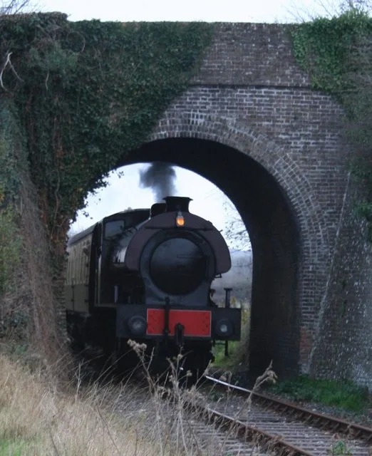
Cholsey & Wallingford Railway
Heritage railways · 0.9 km

Moulsford Railway Bridge (1892)
Historic bridges · 1.0 km
Moulsford Railway Bridge (1839)
Historic bridges · 1.0 km

The Great Hall
Cinemas · 1.0 km
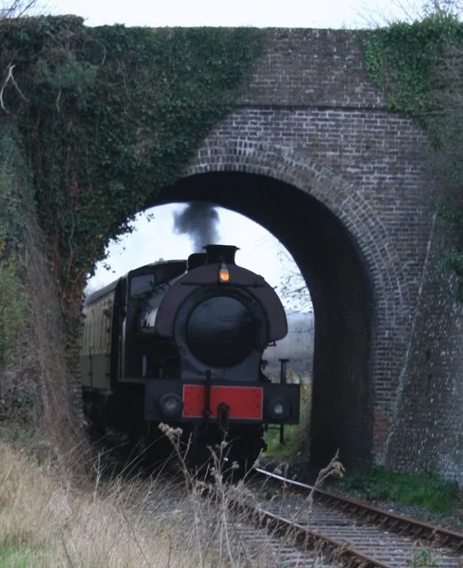
Cholsey & Wallingford Railway
Heritage railways · 1.0 km

Cholsey Marsh
Forests & woodlands · 1.1 km
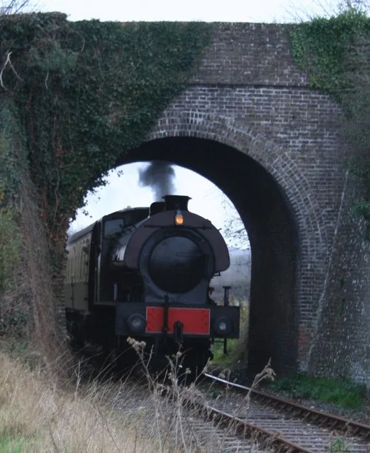
Cholsey & Wallingford Railway
Heritage railways · 1.2 km

Cholsey Marsh
Wildlife reserves · 1.2 km

Cranford House School
Historic houses · 1.4 km

Moulsford
Villages · 1.4 km

Cholsey Abbey
Abbeys & priories · 1.6 km
Nearby
📷 5📷 5Heritage railways · South East England
Cholsey & Wallingford Railway
Cholsey & Wallingford Railway is a heritage railway in the United Kingdom.
📷 5Historic bridges · South East England
Moulsford Railway Bridge (1892)
Moulsford Railway Bridge (1892) is a historic bridge in the United Kingdom.
📷 5Historic bridges · South East England
Moulsford Railway Bridge (1839)
Moulsford Railway Bridge (1839) is a historic bridge in the United Kingdom.
📷 5Cinemas · South East England
The Great Hall
The Great Hall — a cinema in england south east.
📷 5Heritage railways · South East England
Cholsey & Wallingford Railway
Cholsey & Wallingford Railway is a heritage railway in the United Kingdom.
Where to eat & stay near Silly Bridge (MLN1/47 79)
Places to stay
 📷 5
📷 5Campsites · South East England
Ridgeway View Campsite
Ridgeway View Campsite — a campsite in england south east.
 📷 5
📷 5 📷 7
📷 7 📷 5
📷 5Campsites · South East England
Newnham Manor Caravan Park
Newnham Manor Caravan Park — a campsite in england south east.
 📷 5
📷 5Campsites · South East England
Riverside Campsite
Riverside Campsite — a campsite in england west midlands.
 📷 5
📷 5Places to eat & drink
 📷 7
📷 7Historic pubs · South East England
The Chequers Inn Public House
The Chequers Inn Public House in England South East, United Kingdom.
 📷 5
📷 5Historic pubs · South East England
Row Barge Public House
Row Barge Public House in England South East, United Kingdom.
 📷 5
📷 5 📷 5
📷 5Historic pubs · South East England
Town Arms
Town Arms — Historic pub — listed building or notable heritage status.
📷 7 📷 7
📷 7Historic pubs · South East England
The Bull Hotel
The Bull Hotel in England South East, United Kingdom.
More bridges in this region
 📷 5
📷 5Historic bridges · South East England
Briary Hill Bridge east
Briary Hill Bridge east is a historic bridge in the United Kingdom.
 📷 5
📷 5Historic bridges · South East England
Briary Hill Bridge west
Briary Hill Bridge west is a historic bridge in the United Kingdom.
 📷 5
📷 5Historic bridges · South East England
Bridge 157 VIR (Bath Hard Road)
Bridge 157 VIR (Bath Hard Road) is a historic bridge in the United Kingdom.
 📷 5
📷 5Historic bridges · South East England
Dorking Arch Bridge
Dorking Arch Bridge is a historic bridge in the United Kingdom.
Frequently asked questions
- Where is Silly Bridge (MLN1/47 79)?
- Silly Bridge (MLN1/47 79) is in Oxfordshire, South-East England, United Kingdom (postcode OX10 9HW), in the parish of Cholsey.
- What is Silly Bridge (MLN1/47 79)?
- Silly Bridge (MLN1/47 79) — Grade II listed building-listed bridge in england-south-east, United Kingdom.
- How do I get to Silly Bridge (MLN1/47 79)?
- The nearest railway station is Cholsey, about 0.8 km away. Drivers can use postcode OX10 9HW.
- Is Silly Bridge (MLN1/47 79) a listed building?
- Silly Bridge (MLN1/47 79) is officially recognised as Grade II listed building listed.
- Is Silly Bridge (MLN1/47 79) a protected site?
- Yes — Silly Bridge (MLN1/47 79) is part of the North Wessex Downs National Landscape (AONB).
- Is Silly Bridge (MLN1/47 79) free to visit?
- Yes, Silly Bridge (MLN1/47 79) is free to enter.
- How do I get to Silly Bridge (MLN1/47 79)?
- The nearest railway station is Cholsey, about 0.8 km away. Drivers can navigate to postcode OX10 9HW.