
Hill forts · North West England
Milefortlet 5
In or near Anthorn.
Milefortlet 5 — milefortlet of the Roman Cumbrian Coast defences.

Wikimedia Commons licence
Plan your visit
- Typical visit
- 1 h–2 h
- Nearest railway station
- Sillloth Miniature Railway · 6.3 km
- Free entry
- Dog-friendly
Getting there & planning your visit
Milefortlet 5 is located in the Scottish Lowlands, with the nearest railway station being Silloth Miniature Railway, approximately 6.3 km away. Entry is free.
About
Milefortlet 5 is a hill fort in the United Kingdom. Heritage designation: scheduled monument. Part of Hadrian's Wall. Wikidata describes it as: "milefortlet of the Roman Cumbrian Coast defences". Coordinates: 54.9135°, -3.2954°.
Photo gallery
Protected designations
- Site of Special Scientific Interest: Upper Solway Flats & Marshes SSSI
- Area of Outstanding Natural Beauty: Solway Coast
- Ramsar wetland: Upper Solway Flats & Marshes
Designations sourced from Natural England open data under OGL v3.
From the Wikipedia article
Milefortlet 5 (Cardurnock) was a Milefortlet of the Roman Cumbrian Coast defences. These milefortlets and intervening stone watchtowers extended from the western end of Hadrian's Wall, along the Cumbrian coast and were linked by a wooden palisade. They were contemporary with defensive structures on Hadrian's Wall. The remains of Milefortlet 5 was excavated in 1943-4 prior to its destruction in 1944.
Excerpt from Wikipedia under CC BY-SA 4.0. See the source article linked in Sources below.
Background
Description
Milefortlet 5 was situated in a field just south of the hamlet of Cardurnock in the civil parish of Bowness. The site lies within a disused wartime airfield, now under pasture. There is nothing to see on the ground, but aerial photographs taken in 2006 show the cropmarks of the northern end of the milefortlet. and the system is believed to begin again with Milefortlet 9.
Sourced from Wikipedia under CC BY-SA 4.0.
- Coordinates
- 54.9135, -3.2954
- District
- Cumberland
- Parish
- Bowness
- Postcode
- CA7 5AQ
- Parliamentary constituency
- Penrith and Solway
- Nearest railway station
- Sillloth Miniature Railway — 6.3 km
Sources
- wikidata: Q16247434 (CC0)
- wikipedia: Milefortlet 5 (CC BY-SA 4.0)
Other places nearby

Milefortlet 4
Hill forts · 1.5 km

Anthorn
Towns & cities · 2.4 km

Milefortlet 3
Hill forts · 2.6 km

Campfield (tower 2b) and associated parallel ditches and Roman road, 350m south west of Campfield Farm part of Roman frontier defences along Cumbrian coast
Archaeological sites · 3.1 km

Starry Hill
Mountains & hills · 3.5 km
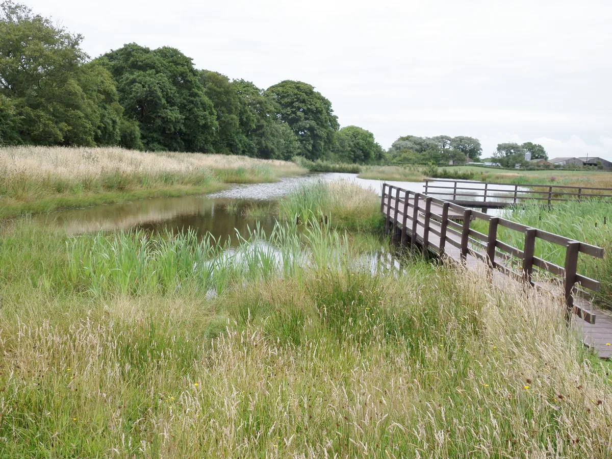
Campfield Marsh RSPB reserve
Wildlife reserves · 4.1 km
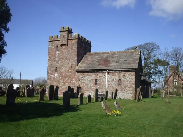
St John the Evangelist's Church, Newton Arlosh
Historic churches · 4.2 km

Newton Arlosh
Villages · 4.3 km

Milefortlet 9, Skinburness
Archaeological sites · 4.7 km
Milefortlet 9
Hill forts · 4.7 km

Campfield Marsh Nature Reserve
Forests & woodlands · 4.7 km

Mile Fortlet 1
Archaeological sites · 5.1 km
Nearby
📷 3Hill forts · North West England
Milefortlet 4
Milefortlet 4 — milefortlet of the Roman Cumbrian Coast defences.
📷 5📷 3Hill forts · North West England
Milefortlet 3
Milefortlet 3 — milefortlet of the Roman Cumbrian Coast defences.
📷 3Archaeological sites · North West England
Campfield (tower 2b) and associated parallel ditches and Roman road, 350m south west of Campfield Farm part of Roman frontier defences along Cumbrian coast
Campfield (tower 2b) and associated parallel ditches and Roman road, 350m south west of Campfield Farm part of Roman frontier defences along Cumbrian coast — archaeological site in Bowness, Allerdale, England, UK.
📷 5Mountains & hills · North West England
Starry Hill
Starry Hill — mountain in scotland lowlands. Elevation: 5 m.
📷 3Wildlife reserves · North West England
Campfield Marsh RSPB reserve
Campfield Marsh RSPB reserve — RSPB nature reserve in United Kingdom.
Where to eat & stay near Milefortlet 5
Places to stay
 📷 5
📷 5Campsites · North West England
The Bush Inn
The Bush Inn — a campsite in scotland lowlands.
 📷 5
📷 5Caravan parks · North West England
Tanglewood Caravan park
Tanglewood Caravan park — a caravan park in scotland lowlands.
 📷 5
📷 5Caravan parks · North West England
Broom Fisheries campsite
Broom Fisheries campsite — a caravan park in scotland lowlands.
 📷 5
📷 5Caravan parks · North West England
Cottage and Glendale Holiday Park
Cottage and Glendale Holiday Park — a caravan park in scotland lowlands.
 📷 5
📷 5Caravan parks · North West England
Queensberry Bay Holiday Park
Queensberry Bay Holiday Park — a caravan park in scotland lowlands.
 📷 5
📷 5Campsites · North West England
Stanwix Park holiday Centre
Stanwix Park holiday Centre — a campsite in scotland lowlands.
Places to eat & drink
 📷 7
📷 7Historic pubs · North West England
Queensberry Arms Hotel
Queensberry Arms Hotel in Scotland Lowlands, United Kingdom.
 📷 7
📷 7Historic pubs · Scottish Lowlands
The Farmers Inn
The Farmers Inn in Scotland Lowlands, United Kingdom.
 📷 5
📷 5Historic pubs · North West England
Kings Arms Walter Willsons
Kings Arms Walter Willsons in Scotland Lowlands, United Kingdom.
 📷 7
📷 7Historic pubs · North West England
The Greyhound Inn
The Greyhound Inn in Scotland Lowlands, United Kingdom.
 📷 5
📷 5 📷 5
📷 5Historic pubs · North West England
Horse And Farrier Public House
Horse And Farrier Public House in Scotland Lowlands, United Kingdom.
More places in this region
 📷 5
📷 5Hill forts · North West England
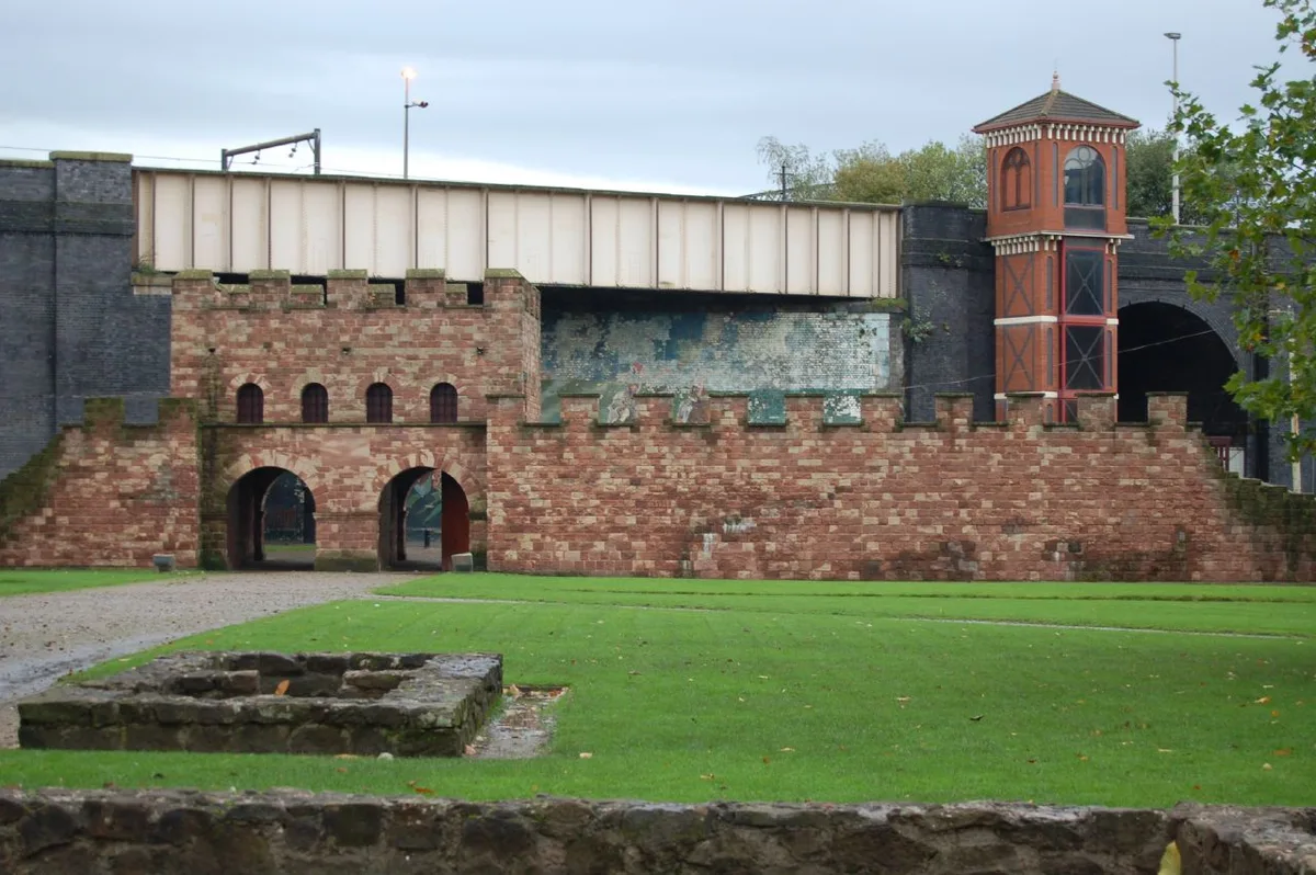
Mamucium
Mamucium — former Roman fort in the Castlefield area of Manchester in North West England.
 📷 3
📷 3Hill forts · North West England
Timperley Hall
Timperley Hall is a hill fort in the United Kingdom.
 📷 3
📷 3Hill forts · North West England
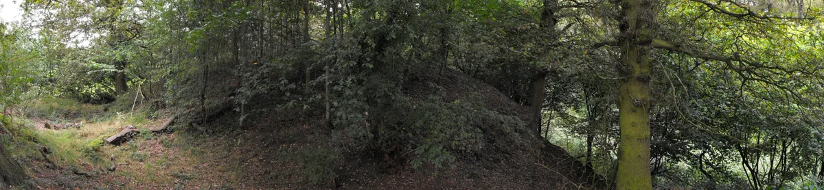
Watch Hill Castle
Watch Hill Castle — medieval castle in Bowdon, Greater Manchester, England, UK.
 📷 5
📷 5Hill forts · North West England
Buckton Castle
Buckton Castle — 12th-century castle in Mossley, Greater Manchester, England, UK.
Frequently asked questions
- Where is Milefortlet 5?
- Milefortlet 5 is in the Scottish Lowlands, United Kingdom (postcode CA7 5AQ), in the parish of Bowness.
- What is Milefortlet 5?
- Milefortlet 5 — milefortlet of the Roman Cumbrian Coast defences.
- How do I get to Milefortlet 5?
- The nearest railway station is Sillloth Miniature Railway, about 6.3 km away. Drivers can use postcode CA7 5AQ.
- Is Milefortlet 5 a listed building?
- Milefortlet 5 is officially recognised as scheduled monument listed.
- Is Milefortlet 5 a protected site?
- Yes — Milefortlet 5 is part of the Upper Solway Flats & Marshes SSSI Site of Special Scientific Interest and the Solway Coast National Landscape (AONB).
- Is Milefortlet 5 free to visit?
- Yes, Milefortlet 5 is free to enter.
- How do I get to Milefortlet 5?
- The nearest railway station is Sillloth Miniature Railway, about 6.3 km away. Drivers can navigate to postcode CA7 5AQ.