
Historic pubs · Scottish Lowlands
The Farmers Inn
In or near Dalton.
The Farmers Inn in Scotland Lowlands, United Kingdom.

JThomas — CC BY-SA 2.0 via Wikimedia Commons licence

Plan your visit
- Typical visit
- 1 h–2 h
About
The Farmers Inn is a historic pub in Scotland Lowlands, United Kingdom. Britain's pubs are a cornerstone of its tourist appeal — from medieval coaching inns and timber-framed alehouses to grand Victorian gin palaces — and many are listed buildings serving real ale and traditional food.
Photo gallery
See it from the streetimagery from 2023
Imagery © Mapillary contributors, CC BY-SA 4.0
Protected designations
- Ramsar wetland: Upper Solway Flats & Marshes
Designations sourced from Natural England open data under OGL v3.
Place summary
The Farmers Inn is a pub located in the Scottish Lowlands, postcode DG1. It is situated within the RAMSAR-designated Upper Solway Flats & Marshes, an area recognised for its ecological significance. Visitors can expect a traditional pub atmosphere, serving drinks and likely offering a selection of food in a rural setting. The location provides a vantage point for observing the surrounding natural landscape.
AI-generated from the structured facts on this page (operator, designation, listing, era). Not a substitute for visiting.
- Coordinates
- 55.0024, -3.4203
- District
- Dumfries and Galloway
- Postcode
- DG1 4NF
- Parliamentary constituency
- Dumfriesshire, Clydesdale and Tweeddale
Sources
Other places nearby
War Memorial
Memorials & monuments · 0.2 km

Clarencefield
Villages · 0.5 km

Ruthwell Church
Historic churches · 0.8 km

Ruthwell
Villages · 1.3 km

Comlongon Castle (Hotel)
Castles · 1.4 km
Comlongon Castle (Hotel)
Hotels · 1.4 km
Comlongon Castle
Castles · 1.4 km
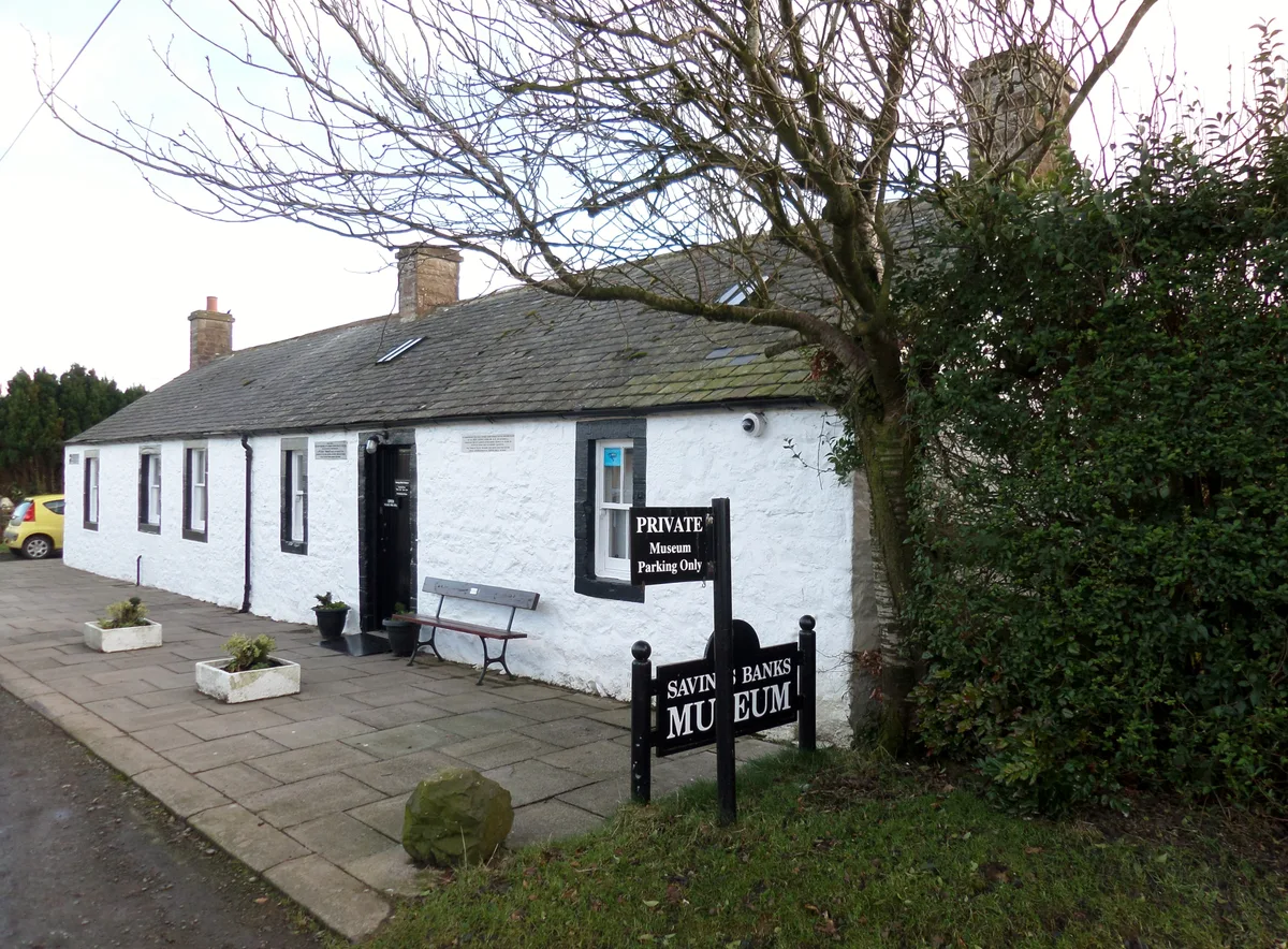
Savings Banks Museum
Museums · 1.4 km
Ruthwell Museum
Museums · 1.4 km

Cockpool Castle
Castles · 2.4 km

Branthat Plantation, enclosed settlement 320m SE of Gill
Vineyards · 3.0 km

Monument to Henry Duncan, Mount Kedar
Memorials & monuments · 3.7 km
Nearby
Memorials & monuments · Scottish Lowlands
War Memorial
War Memorial — a memorial in scotland lowlands.
📷 5📷 5Historic churches · Scottish Lowlands
Ruthwell Church
Ruthwell Church — category B listed building-listed church in scotland-lowlands, United Kingdom.
📷 5📷 3Castles · Scottish Lowlands
Comlongon Castle (Hotel)
Comlongon Castle (Hotel) — a castle in Scottish Lowlands, United Kingdom.
📷 3Hotels · Scottish Lowlands
Comlongon Castle (Hotel)
Comlongon Castle (Hotel) — a hotel in scotland lowlands.
Where to eat & stay near The Farmers Inn
Places to stay
📷 3Hotels · Scottish Lowlands
Comlongon Castle (Hotel)
Comlongon Castle (Hotel) — a hotel in scotland lowlands.
 📷 5
📷 5Caravan parks · North West England
Queensberry Bay Holiday Park
Queensberry Bay Holiday Park — a caravan park in scotland lowlands.
 📷 5
📷 5Caravan parks · Scottish Lowlands
Hoddom Castle Caravan Park & Campsite
Hoddom Castle Caravan Park & Campsite — a caravan park in scotland lowlands.
 📷 5
📷 5Caravan parks · North West England
Broom Fisheries campsite
Broom Fisheries campsite — a caravan park in scotland lowlands.
 📷 5
📷 5Caravan parks · North West England
Galabank Camping and Caravan Park
Galabank Camping and Caravan Park — a caravan park in scotland lowlands.
Places to eat & drink
 📷 7
📷 7Historic pubs · North West England
Queensberry Arms Hotel
Queensberry Arms Hotel in Scotland Lowlands, United Kingdom.
 📷 5
📷 5Historic pubs · Scottish Lowlands
Queen O' The South Public House, 8-10 Nith Place, Dumfries
Queen O' The South Public House, 8-10 Nith Place, Dumfries in Scotland Lowlands, United Kingdom.
 📷 5
📷 5Historic pubs · Scottish Lowlands
73-77 English Street, Dumfries
73-77 English Street, Dumfries in Scotland Lowlands, United Kingdom.
 📷 5
📷 5Historic pubs · Scottish Lowlands
The Globe Inn, 56 High Street, Dumfries
The Globe Inn, 56 High Street, Dumfries in Scotland Lowlands, United Kingdom.
 📷 5
📷 5Historic pubs · Scottish Lowlands
Bruce Arms Public House, 3 Castle Street, Lochmaben
Bruce Arms Public House, 3 Castle Street, Lochmaben in Scotland Lowlands, United Kingdom.
 📷 7
📷 7Historic pubs · Scottish Lowlands
Rob Roy Public House, 63-65 Queensberry Street, Dumfries
Rob Roy Public House, 63-65 Queensberry Street, Dumfries in Scotland Lowlands, United Kingdom.
More historic pubs in this region
📷 5Historic pubs · Scottish Lowlands
The Globe Inn, 56 High Street, Dumfries
The Globe Inn, 56 High Street, Dumfries in Scotland Lowlands, United Kingdom.
 📷 7
📷 7 📷 7
📷 7Historic pubs · Scottish Lowlands
Commercial Inn, 1-3 Mill Street, Ochiltree
Commercial Inn, 1-3 Mill Street, Ochiltree in Scotland Lowlands, United Kingdom.
📷 5Historic pubs · Scottish Lowlands
73-77 English Street, Dumfries
73-77 English Street, Dumfries in Scotland Lowlands, United Kingdom.
Frequently asked questions
- Where is The Farmers Inn?
- The Farmers Inn is in the Scottish Lowlands, United Kingdom (postcode DG1 4NF).
- What is The Farmers Inn?
- The Farmers Inn in Scotland Lowlands, United Kingdom.
- How do I get to The Farmers Inn?
- The nearest town is Dalton. Drivers can use postcode DG1 4NF.
- Is The Farmers Inn a protected site?
- Yes — The Farmers Inn is part of the Upper Solway Flats & Marshes Ramsar wetland.
- How do I get to The Farmers Inn?
- Drivers can navigate to postcode DG1 4NF. It sits within the Dumfriesshire, Clydesdale and Tweeddale parliamentary constituency.