
Wildlife reserves · East of England
Martlesham Wilds
In or near Great Bealings.
Martlesham Wilds — nature reserve in Suffolk, England.

Dave Thompson — CC BY-SA 2.0 via Wikimedia Commons licence

Plan your visit
- Typical visit
- 2 h–4 h
- Best time of year
- Autumn & winter (migration & wildfowl)
- Nearest railway station
- Woodbridge · 2.3 km
- Free entry
- Family-friendly
- Dog-friendly
- Limited wheelchair access
About
Martlesham Wilds is a wildlife reserve in the United Kingdom. Managed by Suffolk Wildlife Trust. Wikidata describes it as: "nature reserve in Suffolk, England". Coordinates: 52.0742°, 1.2964°.
Photo gallery
Protected designations
- Site of Special Scientific Interest: Deben Estuary SSSI
- Area of Outstanding Natural Beauty: Suffolk Coast & Heaths
- Ramsar wetland: Deben Estuary
Designations sourced from Natural England open data under OGL v3.
From the Wikipedia article
Martlesham Wilds is a nature reserve of Suffolk Wildlife Trust, a rewilding site on the banks of the River Deben near Martlesham in Suffolk, England. It is designated a Ramsar site, and a Site of Special Scientific Interest.
Excerpt from Wikipedia under CC BY-SA 4.0. See the source article linked in Sources below.
Background
Description
The site, a former organic arable farm, was purchased in September 2023, with the help of a grant from Biffa Award, and donations. Ben McFarland, the Trust's director of wildlife, conservation and recovery, said when the purchase was planned in April 2023: "We think that by stepping back and letting nature take the lead we can really ecologically uplift the areas to create an incredible habitat over time". The Trust hopes that the rewilded land will become a green corridor connecting ancient woodland, scrub, grassland and salt marsh, linked by the River Deben.
Sourced from Wikipedia under CC BY-SA 4.0.
- Coordinates
- 52.0742, 1.2964
- County
- Suffolk
- District
- East Suffolk
- Parish
- Martlesham
- Postcode
- IP12 4PQ
- Parliamentary constituency
- Suffolk Coastal
- Nearest railway station
- Woodbridge — 2.3 km
- Opening
- | website =
Sources
- wikidata: Q125934247 (CC0)
- wikipedia: Martlesham Wilds (CC BY-SA 4.0)
Other places nearby

Martlesham War Memorial
Memorials & monuments · 0.2 km

Martlesham
Villages · 1.0 km

Martlesham Village Sign
Public art & sculpture · 1.1 km

Moon and Sixpence
Caravan parks · 1.3 km

Seckford Hall
Historic houses · 1.8 km

Cherry Tree Inn
Historic pubs · 2.0 km

Roger Crompton Notcutt
Memorials & monuments · 2.1 km

Woodbridge New Cemetery
Cemeteries · 2.1 km

The Sisters
National landscapes (AONB) · 2.1 km

Red House
Historic houses · 2.2 km
.jpg?width=1200)
Cumberland House
Historic houses · 2.4 km

The Riverside
Theatres · 2.4 km
Nearby
📷 3Memorials & monuments · East of England
Martlesham War Memorial
Martlesham War Memorial — Grade II listed building-listed memorial in england-east, United Kingdom.
📷 5📷 3Public art & sculpture · East of England
Martlesham Village Sign
Martlesham Village Sign — a public art in East of England, United Kingdom.
📷 5📷 3Historic houses · East of England
Seckford Hall
Seckford Hall — hotel in East Suffolk, Suffolk, England, UK.
📷 5Historic pubs · East of England
Cherry Tree Inn
Cherry Tree Inn in England East, United Kingdom.
Where to eat & stay near Martlesham Wilds
Places to stay
📷 5 📷 5
📷 5 📷 5
📷 5 📷 5
📷 5Hotels · East of England
Kesgrave Hall
Kesgrave Hall — a hotel in england east.
 📷 5
📷 5Caravan parks · East of England
Steadings Park
Steadings Park — a caravan park in england east.
 📷 5
📷 5Campsites · East of England
Sutton Hoo Holidays Campsite
Sutton Hoo Holidays Campsite — a campsite in england east.
Places to eat & drink
📷 5Historic pubs · East of England
Cherry Tree Inn
Cherry Tree Inn in England East, United Kingdom.
 📷 7
📷 7Restaurants · East of England
The Galley Speciality Cuisine
The Galley Speciality Cuisine — a restaurant in england east.
 📷 5
📷 5Historic pubs · East of England
The Royal William Inn
The Royal William Inn in England East, United Kingdom.
 📷 5
📷 5Cafés · East of England
Honey + Harvey
Honey + Harvey — a café in england east.
 📷 5
📷 5 📷 5
📷 5Historic pubs · East of England
The Horse and Groom
The Horse and Groom in England East, United Kingdom.
More places run by Suffolk Wildlife Trust
 Flagship📷 3
Wildlife reserves · East of England
Alde Mudflats
Alde Mudflats — Suffolk Wildlife Trust nature reserve.
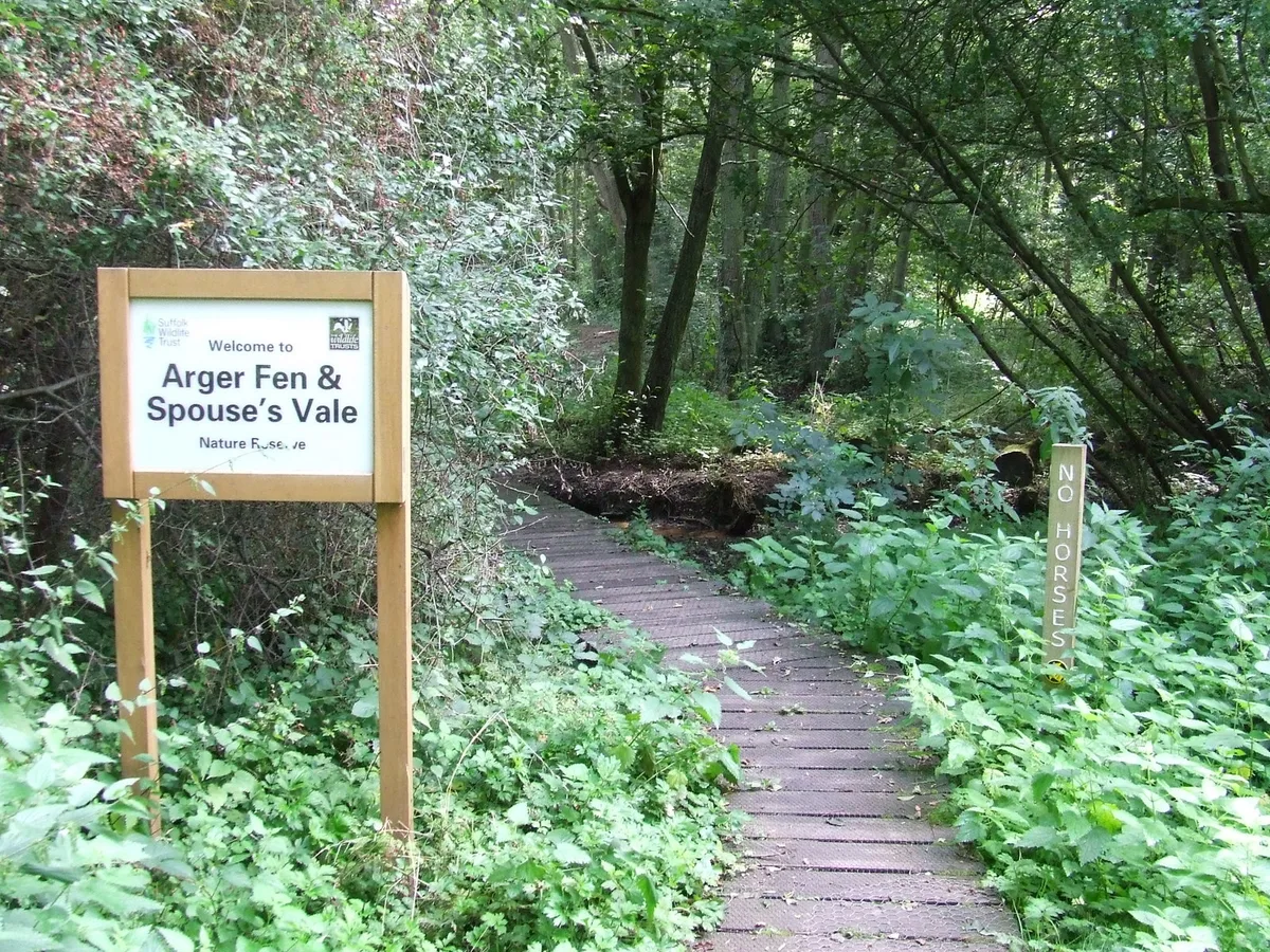 📷 5
📷 5Wildlife reserves · East of England
Arger Fen
Arger Fen — Suffolk Wildlife Trust nature reserve.
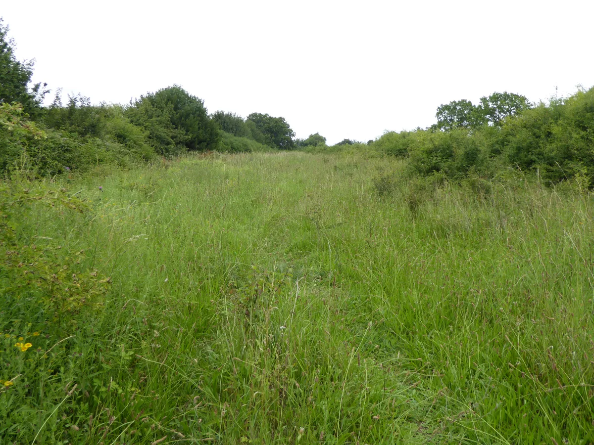 Flagship📷 5
Wildlife reserves · East of England
Black Bourn Valley
Black Bourn Valley — Suffolk Wildlife Trust nature reserve.
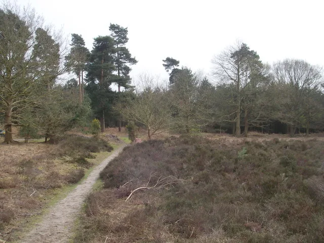 📷 3
📷 3Wildlife reserves · East of England
Blaxhall Common
Blaxhall Common — Suffolk Wildlife Trust nature reserve.
More places in this region
 Flagship📷 10
Wildlife reserves · East of England
Amwell Quarry
Amwell Quarry — nature reserve in United Kingdom.
 Flagship📷 10
Wildlife reserves · East of England
Aubrey Buxton Nature Reserve
Aubrey Buxton Nature Reserve — Essex Wildlife Trust Nature reserve.
 Flagship📷 10
Wildlife reserves · East of England
Canvey Wick
Canvey Wick — nature reserve in Essex, United Kingdom.
 Flagship📷 10
Wildlife reserves · East of England
Crowsheath Wood
Crowsheath Wood — Essex Wildlife Trust Nature reserve.
Frequently asked questions
- Where is Martlesham Wilds?
- Martlesham Wilds is in Suffolk, East of England, United Kingdom (postcode IP12 4PQ), in the parish of Martlesham.
- What is Martlesham Wilds?
- Martlesham Wilds — nature reserve in Suffolk, England.
- How do I get to Martlesham Wilds?
- The nearest railway station is Woodbridge, about 2.3 km away. The nearest town is Great Bealings. Drivers can use postcode IP12 4PQ.
- Who runs Martlesham Wilds?
- Martlesham Wilds is operated by Suffolk Wildlife Trust.
- Is Martlesham Wilds a protected site?
- Yes — Martlesham Wilds is part of the Deben Estuary SSSI Site of Special Scientific Interest and the Suffolk Coast & Heaths National Landscape (AONB).
- Is Martlesham Wilds free to visit?
- Yes, Martlesham Wilds is free to enter.
- How do I get to Martlesham Wilds?
- The nearest railway station is Woodbridge, about 2.3 km away. Drivers can navigate to postcode IP12 4PQ.
- Are dogs allowed at Martlesham Wilds?
- Most wildlife reserves allow dogs on lead only, with restrictions during ground-nesting bird season (March-July). Check signage at the reserve.