
Towns & cities · East of England
Great Bealings
Great Bealings — village and civil parish in Suffolk, UK.

Wikimedia Commons contributors — see linked file page for photographer and licence licence

Plan your visit
- Typical visit
- 3 h–6 h
- Nearest railway station
- Woodbridge · 4.2 km
- Free entry
- Family-friendly
- Dog-friendly
Getting there & planning your visit
Great Bealings is located in Suffolk, with the nearest railway station being Woodbridge, approximately 4.2 km away. Entry to the area is free.
About
Great Bealings is a town, city, village or settlement in the United Kingdom. Recent population estimates put it at around 290 people. Address: IP13. Wikidata describes it as: "village and civil parish in Suffolk, UK". Coordinates: 52.0940°, 1.2570°.
Photo gallery
See it from the streetimagery from 2025
Imagery © Mapillary contributors, CC BY-SA 4.0
Protected designations
- Area of Outstanding Natural Beauty: Suffolk Coast & Heaths
Designations sourced from Natural England open data under OGL v3.
From the Wikipedia article
Great Bealings is a small village in Suffolk, England. It has about 302 people living in it in around 113 households. Its nearest towns are Ipswich (6 miles (9.7 km) away) and Woodbridge (2.6 miles (4.2 km)). Nearby villages include Little Bealings, Playford, Culpho, Hasketon and Grundisburgh. The village does not have an obvious centre, and the population is split between two areas — one around Lower Street to the East of the village, and the other at Boot Street/Grundisburgh Road to the West of the village. St Mary's, the village church, is about in the middle of these two centres of population. The village shares a playing field with Little Bealings, which is located behind the joint Village Hall, and includes a grassed plateau, a fenced and hard surfaced multi-sports court, children's play equipment, and a boules piste. It is named after John Ganzoni, Lord Belstead, who lived in the village for many years, and whose Charitable Trust Fund supported the project. The River Lark passes through the middle of the village, and is crossed by the main road with a humpback bridge.
Excerpt from Wikipedia under CC BY-SA 4.0. See the source article linked in Sources below.
Background
History
In the Domesday Book there is mention of the Saxon Hall, owned by Halden, with Anund the priest in attendance. This was on the meadow by the church and was owned by several families such as the de Peche, Clench, and Majors, who knocked it down in 1775 to use the material to aid the construction of Bealings House. The village has always had a strong agricultural base with several small farms. In White's gazetteer of Suffolk in 1855, the listed tradesmen are: brickmaker, two boot makers, builder, wheelwright, blacksmith, gardener, shopkeeper, and miller as well as several farmers and gentlemen.
Sourced from Wikipedia under CC BY-SA 4.0.
- Coordinates
- 52.0940, 1.2570
- County
- Suffolk
- District
- East Suffolk
- Parish
- Great Bealings
- Postcode
- IP13
- Parliamentary constituency
- Central Suffolk and North Ipswich
- Population
- 290
- Nearest railway station
- Woodbridge — 4.2 km
Sources
- wikidata: Q1008399 (CC0)
- wikipedia: Great Bealings (CC BY-SA 4.0)
- commons: GreatBealingsChurch.JPG (CC BY-SA 4.0)
Other places nearby

Great Bealings War Memorial
Memorials & monuments · 0.0 km

Boot Street Bridge
Historic bridges · 0.3 km

Great and Little Bealings Village Sign
Public art & sculpture · 0.6 km

Playford
Towns & cities · 1.7 km
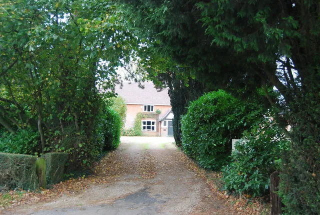
Culpho Manor
Stately homes · 2.0 km

Seckford Hall
Historic houses · 2.0 km

Playford Village Sign
Public art & sculpture · 2.1 km

Grundisburgh
Villages · 2.2 km

Grundisburgh Village Sign
Public art & sculpture · 2.2 km

Grundisburgh Cenotaph
Memorials & monuments · 2.2 km

Bridge And Revetments To The South Arm Of The Moat Surrounding Playford Hall
Historic bridges · 2.3 km

Church of St Mary
Historic churches · 2.3 km
Great Bealings is a village in Suffolk, East of England, with a population of 290. Our guide lists N attractions within reach.
At a glance
- Population
- 290
- Administrative county
- Suffolk
- Constituency
- Central Suffolk and North Ipswich
Things to see in Great Bealings
88 attractions within 12 km — showing the 24 most editorially-significant. Full guide: things to do in Great Bealings →
 📷 3
📷 3Historic houses · East of England
Bredfield House
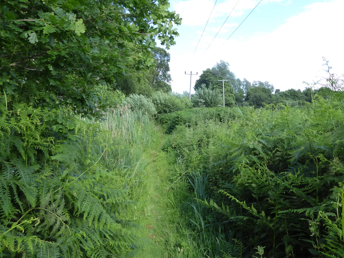
Bredfield House — house in Bredfield, Suffolk Coastal, Suffolk, England, UK.
 📷 5
📷 5Wildlife reserves · East of England
Bromeswell Green
Bromeswell Green — Suffolk Wildlife Trust nature reserve.
 📷 3
📷 3Mills · East of England
Buttrum's Mill, Woodbridge
Buttrum's Mill, Woodbridge — grade II listed mill in Woodbridge, East Suffolk, England, UK.
 📷 3
📷 3Historic churches · East of England
Church of St Edmund
Church of St Edmund — church in Bromeswell, Suffolk, England, UK.
.jpg?width=1200) 📷 3
📷 3Historic churches · East of England
Church of St Mary
Church of St Mary — church in Woodbridge, Suffolk, England, UK.
📷 3Historic churches · East of England
Church of St Mary
Church of St Mary — church in Grundisburgh, Suffolk, England, UK.
.jpg?width=1200) 📷 3
📷 3Historic houses · East of England
Cumberland House
Cumberland House — house in Suffolk Coastal, Suffolk, England, UK.
 📷 5
📷 5Wildlife reserves · East of England
Foxburrow Farm
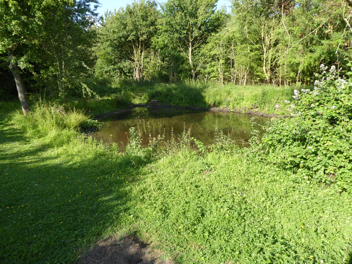
Foxburrow Farm — Suffolk Wildlife Trust nature reserve.
 📷 3
📷 3Memorials & monuments · East of England
Hasketon War Memorial
Hasketon War Memorial is a memorial in the United Kingdom.
 📷 4
📷 4Wildlife reserves · East of England
Hutchison's Meadow
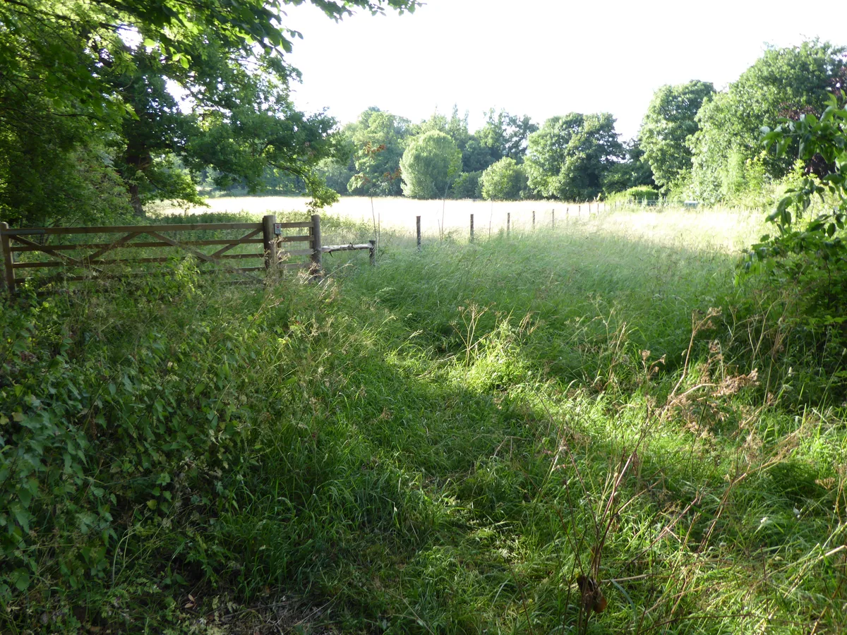
Hutchison's Meadow — Suffolk Wildlife Trust nature reserve.
 📷 3
📷 3Wildlife reserves · East of England
Martlesham Wilds
Martlesham Wilds — nature reserve in Suffolk, England.
 📷 3
📷 3Cemeteries · East of England
Quaker Burial Ground
Quaker Burial Ground is a cemetery in the United Kingdom.
 📷 3
📷 3Historic houses · East of England
Red House
Red House — house in Suffolk Coastal, Suffolk, England, UK.
📷 3Historic houses · East of England
Seckford Hall
Seckford Hall — hotel in East Suffolk, Suffolk, England, UK.
 📷 4
📷 4Hill forts · East of England
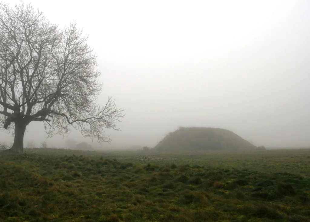
Sutton Hoo
Sutton Hoo — archaeological site near Woodbridge, Suffolk, England, UK.
 📷 3
📷 3 📷 3
📷 3National landscapes (AONB) · East of England
The Sisters
The Sisters — Public artwork (sculpture) by Andrew Baldwin.
 📷 3
📷 3Cemeteries · East of England
Woodbridge New Cemetery
Woodbridge New Cemetery is a cemetery in the United Kingdom.
 📷 3
📷 3Museums · East of England
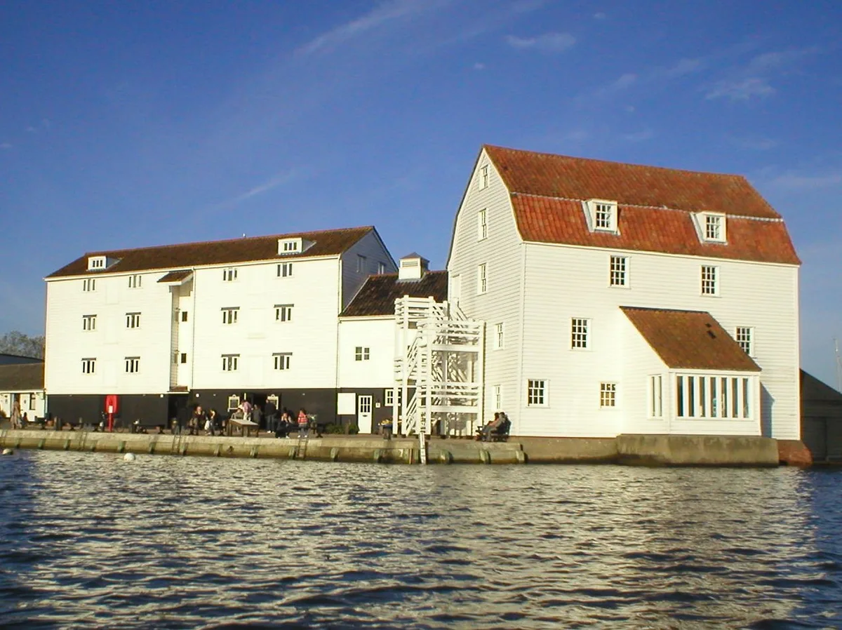
Woodbridge Tide Mill Museum
Woodbridge Tide Mill Museum — tide mill and museum in Woodbridge, Suffolk, England, United Kingdom.
 📷 3
📷 3Theatres · East of England
The Riverside
The Riverside in England East, United Kingdom.
 📷 3
📷 3Archaeological sites · East of England
Warrior & Horse grave
Warrior & Horse grave — a archaeological in england-east, United Kingdom.
 📷 3
📷 3Archaeological sites · East of England
Trackway
Trackway — a archaeological in england-east, United Kingdom.
📷 3Archaeological sites · East of England
Mound 6
Mound 6 — a archaeological in england-east, United Kingdom.
📷 3Archaeological sites · East of England
Mound 7
Mound 7 — a archaeological in england-east, United Kingdom.
Nearby
📷 3Memorials & monuments · East of England
Great Bealings War Memorial
Great Bealings War Memorial — Grade II listed building-listed memorial in england-east, United Kingdom.
📷 3Historic bridges · East of England
Boot Street Bridge
Boot Street Bridge — scheduled monument-listed bridge in england-east, United Kingdom.
📷 3Public art & sculpture · East of England
Great and Little Bealings Village Sign
Great and Little Bealings Village Sign — a public art in england-east, United Kingdom.
📷 5Towns & cities · East of England
Playford
Playford — village and civil parish in Suffolk, United Kingdom.
Flagship📷 3Stately homes · East of England
Culpho Manor
Culpho Manor — manor house in Culpho, Suffolk Coastal, Suffolk, England, UK.
📷 3Historic houses · East of England
Seckford Hall
Seckford Hall — hotel in East Suffolk, Suffolk, England, UK.
Where to eat & stay near Great Bealings
Places to stay
 📷 5
📷 5 📷 5
📷 5 📷 5
📷 5 📷 5
📷 5 📷 5📷 5
Campsites · East of England
Sutton Hoo Holidays Campsite
Sutton Hoo Holidays Campsite — a campsite in england east.
Places to eat & drink
 📷 5
📷 5 📷 5
📷 5 📷 5
📷 5Historic pubs · East of England
The Royal William Inn
The Royal William Inn in England East, United Kingdom.
 📷 7
📷 7Restaurants · East of England
The Galley Speciality Cuisine
The Galley Speciality Cuisine — a restaurant in england east.
 📷 5
📷 5Cafés · East of England
Honey + Harvey
Honey + Harvey — a café in england east.
 📷 5
📷 5Historic pubs · East of England
The Horse and Groom
The Horse and Groom in England East, United Kingdom.
More towns in this region
 Flagship📷 10
 Flagship📷 10
Towns & cities · East of England
Cambridge
Cambridge — city in Cambridgeshire, England.
 Flagship📷 10
Towns & cities · East of England
Chelmsford
Chelmsford — city in Essex, United Kingdom.
 Flagship📷 10
Towns & cities · East of England
Colney Heath
Colney Heath — village and civil parish in St Albans, Hertfordshire, England, UK.
Frequently asked questions
- Where is Great Bealings?
- Great Bealings is in Suffolk, East of England, United Kingdom (postcode IP13), in the parish of Great Bealings.
- What is Great Bealings?
- Great Bealings — village and civil parish in Suffolk, UK.
- How do I get to Great Bealings?
- The nearest railway station is Woodbridge, about 4.2 km away. Drivers can use postcode IP13.
- Is Great Bealings a protected site?
- Yes — Great Bealings is part of the Suffolk Coast & Heaths National Landscape (AONB).
- Is Great Bealings free to visit?
- Yes, Great Bealings is free to enter.
- How do I get to Great Bealings?
- The nearest railway station is Woodbridge, about 4.2 km away. Drivers can navigate to postcode IP13.