
Gardens · East Midlands
Lound Hall
In or near Kirton.
Lound Hall — a garden in england-east-midlands, United Kingdom.

Nigel Alston — CC BY-SA 2.0 via Wikimedia Commons licence

Plan your visit
- Typical visit
- 1 h–2.5 h
- Best time of year
- Spring & summer (Apr–Sep)
- Nearest railway station
- Retford · 7.1 km
- Dog-friendly
Getting there & planning your visit
To visit Lound Hall, the nearest railway station is Retford, located 7.1 km away. The postcode for Lound Hall is DN22 8DF. Entry details are not specified, so please check in advance for any potential fees or accessibility information.
About
Lound Hall is a garden of interest in england-east-midlands, United Kingdom — drawn from open-data sources for visitor reference. See the linked Wikipedia article for the full description.
Photo gallery
From the Wikipedia article
Lound Hall is a country house which sits in between the villages of Bothamsall and Bevercotes, in the county of Nottinghamshire, England. The current house was built in the Georgian style in the 1930s for Sir Harald Peake, a mining company director. There has been a manor house on the site since the 1700s. The hall was used as an orthopaedic hospital during World War II, and later became a training centre for the National Coal Board as well as a mining museum. It has now reverted to private ownership.
Excerpt from Wikipedia under CC BY-SA 4.0. See the source article linked in Sources below.
Background
History
Lound Hall is mentioned in a republished edition of Thoroton's History of Nottinghamshire: Volume 3 by Robert Thoroton, with additions by John Throsby, dating to 1796. The book says of the hall: "It is occupied by, what the world now fashionably denominates, a gentleman grazier. It appears to have nothing striking either with respect to magnitude or elegance.". In 1832 the hall was situated in an exclave of the parish of Gamston despite being closer to other villages. The History, gazetteer, and directory of Nottinghamshire for that year reported a local rumour that this anomaly was due to a corpse having been found in the hall some years previously, which was refused for burial by the…
Architecture
The present-day hall was built in 1937, with architecture by York-based Brierly, Rutherford and Syme (the latter two of which later went into partnership together as Rutherford and Syme). Its first owners were the family of Harald Peake,
Description
Lound Hall is located on the eastern edge of the village of Bothamsall, close to the A1 dual carriageway and a few miles south of the town of Retford. It is situated next to the River Maun, and has extensive woodland to the north, stretching as far as the River Meden. It is built in the neo-Georgian style, The house is private property, but can be seen from a public footpath which runs across the grounds. The hall was built using hand-made red bricks, with a tiled hipped roof. Its interior features several panelled rooms, one of which is a library with a marble fireplace, and another has an Adam-style fireplace.
Visiting
The house and gardens are not currently open to the public but the exterior and stable courtyard can be seen from footpaths that pass through the grounds and main drive.
Sourced from Wikipedia under CC BY-SA 4.0.
- Coordinates
- 53.2507, -0.9522
- County
- Nottinghamshire
- District
- Bassetlaw
- Parish
- Bothamsall
- Postcode
- DN22 8DF
- Parliamentary constituency
- Newark
- Nearest railway station
- Retford — 7.1 km
- Official site
- loundhallestate.com
Sources
- wikidata: Q26297784 (CC0)
- wikipedia: Lound Hall (CC BY-SA 4.0)
Other places nearby
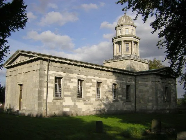
Milton Mausoleum
Historic churches · 1.5 km

Haughton Hall, Nottinghamshire
Gardens · 1.5 km

Eel Pie Bridge
Historic bridges · 1.7 km
Markham Moor Bridge (or 'Mirihil' Bridge)
Historic bridges · 1.7 km

Markham Moor Scorer Building
Gardens · 1.8 km

St Paul's Church, West Drayton
Historic churches · 2.0 km
Jacket Watermill
Watermills · 2.0 km

Riverside Gardens
Campsites · 2.1 km
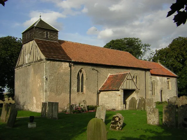
All Saints' Church, West Markham
Historic churches · 2.2 km

West Drayton
Villages · 2.2 km

Medieval settlement including a moated site and open field system, immediately north east and south of Hall Farm
Vineyards · 2.2 km

Haughton Castle
Literary houses · 2.2 km
Nearby
📷 3Historic churches · East Midlands
Milton Mausoleum
Milton Mausoleum — church in Milton, West Markham, Nottinghamshire, England, UK.
📷 3Gardens · East Midlands
Haughton Hall, Nottinghamshire
Haughton Hall, Nottinghamshire — a garden in england-east-midlands, United Kingdom.
📷 3Historic bridges · East Midlands
Eel Pie Bridge
Eel Pie Bridge — Grade II listed building-listed bridge in england-east-midlands, United Kingdom.
📷 3Historic bridges · East Midlands
Markham Moor Bridge (or 'Mirihil' Bridge)
Markham Moor Bridge (or 'Mirihil' Bridge) — scheduled monument-listed bridge in england-east-midlands, United Kingdom.
📷 4Gardens · East Midlands
Markham Moor Scorer Building
Markham Moor Scorer Building — a garden in england-east-midlands, United Kingdom.
📷 4Historic churches · East Midlands
St Paul's Church, West Drayton
St Paul's Church, West Drayton — Grade II* listed building-listed church in england-east-midlands, United Kingdom.
Where to eat & stay near Lound Hall
Places to stay
📷 5 📷 5
📷 5Campsites · East Midlands
Walesby Forest
Walesby Forest — a campsite in england east midlands.
 📷 5
📷 5Campsites · East Midlands
Greenacres Caravan and Touring Park
Greenacres Caravan and Touring Park — a campsite in england east midlands.
 📷 5
📷 5Campsites · East Midlands
Orchard Park Tour. C. & C. P.
Orchard Park Tour. C. & C. P. — a campsite in england east midlands.
 📷 5
📷 5 📷 5
📷 5Caravan parks · East Midlands
Clumber Park Caravan and Motorhome Club
Clumber Park Caravan and Motorhome Club — a caravan park in england east midlands.
Places to eat & drink
 📷 5
📷 5Historic pubs · East Midlands
The Newcastle Arms
The Newcastle Arms in England East Midlands, United Kingdom.
 📷 5
📷 5Historic pubs · East Midlands
New Inn Public House
New Inn Public House in England Yorkshire, United Kingdom.
 📷 5
📷 5Historic pubs · East Midlands
Hop Pole Hotel And Adjoining Stable Block And Outbuilding
Hop Pole Hotel And Adjoining Stable Block And Outbuilding in England East Midlands, United Kingdom.
 📷 5
📷 5 📷 5
📷 5Historic pubs · East Midlands
Newcastle Arms Public House
Newcastle Arms Public House in England Yorkshire, United Kingdom.
 📷 7
📷 7Historic pubs · East Midlands
Black Boy Public House
Black Boy Public House in England Yorkshire, United Kingdom.
More gardens in this region
 📷 5
📷 5 📷 5
📷 5Gardens · East Midlands
Elgood's Brewery Visitor Centre and Gardens
Elgood's Brewery Visitor Centre and Gardens — a garden in england-london, United Kingdom.
 📷 5
📷 5Gardens · East Midlands
Buxton Pavilion Gardens
Buxton Pavilion Gardens is a Victorian landscaped public park in the spa town of Buxton in Derbyshire. The River Wye flows through the gardens, which are a Grade II* listed public park of Special Hist
 📷 3
📷 3Frequently asked questions
- Where is Lound Hall?
- Lound Hall is in Nottinghamshire, the East Midlands, United Kingdom (postcode DN22 8DF), in the parish of Bothamsall.
- What is Lound Hall?
- Lound Hall — a garden in england-east-midlands, United Kingdom.
- How do I get to Lound Hall?
- The nearest railway station is Retford, about 7.1 km away. Drivers can use postcode DN22 8DF.
- How do I get to Lound Hall?
- The nearest railway station is Retford, about 7.1 km away. Drivers can navigate to postcode DN22 8DF.