
Museums · Yorkshire & the Humber
Helmsley
In or near Sproxton.
Helmsley is a market town and civil parish in North Yorkshire, England. Historically part of the North Riding of Yorkshire, the town is located at the point where Ryedale leaves the moorland and joins

David Rogers — CC BY-SA 2.0 via Wikimedia Commons licence

Plan your visit
- Typical visit
- 1.5 h–3 h
- Best time of year
- Year-round
- Family-friendly
- Limited wheelchair access
About
Helmsley is a market town and civil parish in North Yorkshire, England. Historically part of the North Riding of Yorkshire, the town is located at the point where Ryedale leaves the moorland and joins the flat Vale of Pickering. Helmsley is situated on the River Rye on the A170 road, 14 miles (23 km) east of Thirsk, 13 miles (21 km) west of Pickering and some 24 miles (39 km) due north of York. The southern boundary of the North York Moors National Park passes through Helmsley along the A170 road so that the western part of the town is within the National Park. The settlement grew around its position at a road junction and river crossing point. Helmsley is a compact town, retaining its medieval layout around its market place with more recent development to the north and south of its main thoroughfare, Bondgate. It is a historic town of considerable architectural character whose centre has been designated as a conservation area. The town is associated with the Earls of Feversham, whose ancestral home Duncombe Park was built overlooking Helmsley Castle. The Feversham Monument stands in the market place, along with the Helmsley Market Cross. The town is a popular tourist centre and has won gold medals in the Large Village category of Yorkshire in Bloom for three years. The town square is a meeting place for motorcyclists as it is at the end of the B1257 road from Stokesley, which is a favourite with bikers. The Cleveland Way National Trail starts at Helmsley, and follows a horse
Photo gallery
See it from the streetimagery from 2023
Imagery © Mapillary contributors, CC BY-SA 4.0
Official information
Helmsley Castle is a historic site that has served various roles throughout its history, including a medieval fortress and an Elizabethan mansion. Visitors can explore its impressive stonework, double banks, and ditches while enjoying views of the surrounding parkland and wildlife.
From the Wikipedia article
Helmsley is a market town and civil parish in North Yorkshire, England. Historically part of the North Riding of Yorkshire, the town is located at the point where Ryedale leaves the moorland and joins the flat Vale of Pickering. Helmsley is situated on the River Rye on the A170 road, 14 miles (23 km) east of Thirsk, 13 miles (21 km) west of Pickering and some 24 miles (39 km) due north of York. The southern boundary of the North York Moors National Park passes through Helmsley along the A170 road so that the western part of the town is within the National Park. The settlement grew around its position at a road junction and river crossing point. Helmsley is a compact town, retaining its medieval layout around its market place with more recent development to the north and south of its main thoroughfare, Bondgate. It is a historic town of considerable architectural character whose centre has been designated as a conservation area. The town is associated with the Earls of Feversham, whose ancestral home Duncombe Park was built overlooking Helmsley Castle. The Feversham Monument stands in the market place, along with the Helmsley Market Cross. The town is a popular tourist centre and has won gold medals in the Large Village category of Yorkshire in Bloom for three years. The town square is a meeting place for motorcyclists as it is at the end of the B1257 road from Stokesley, which is a favourite with bikers. The Cleveland Way National Trail starts at Helmsley, and follows a horseshoe loop around the North York Moors National Park and Yorkshire coast for 110 miles (180 km) to Filey. The remains of Helmsley Castle, which was destroyed in the Civil War, loom over the town.
Excerpt from Wikipedia under CC BY-SA 4.0. See the source article linked in Sources below.
Background
History
Archaeological discoveries indicate that the area around Helmsley was first settled in around 3,000 BC and small farming communities existed here throughout the Neolithic, Bronze and Iron Ages and into Roman times. Finds of beehive querns confirm local agriculture and the milling of grain since at least the Iron Age. There are also reports of finds of Roman pottery and a second-century Roman coin. On 30 June 2011, the BBC Two programme History Cold Case featured an archaeological investigation into four 2,000-year-old skeletons found in Windy Pits caves, concluding that at least one had been the victim of a ritual killing, including scalping. The findings, including the facial…
Sourced from Wikipedia under CC BY-SA 4.0.
- Coordinates
- 54.2472, -1.0586
- District
- North Yorkshire
- Parish
- Helmsley
- Postcode
- YO62 5EY
- Parliamentary constituency
- Thirsk and Malton
- Opening
- Daily 10am–5pm; last entry at 4.30pm
- Official site
- www.english-heritage.org.uk
Sources
- wikipedia: Helmsley (CC BY-SA 4.0)
Other places nearby

The Feathers
Hotels · 0.2 km

Helmsley Arts Centre
Open-air theatres · 0.2 km

The Black Swan And Railings To Front
Historic pubs · 0.2 km

Canons Garth
Gardens · 0.2 km
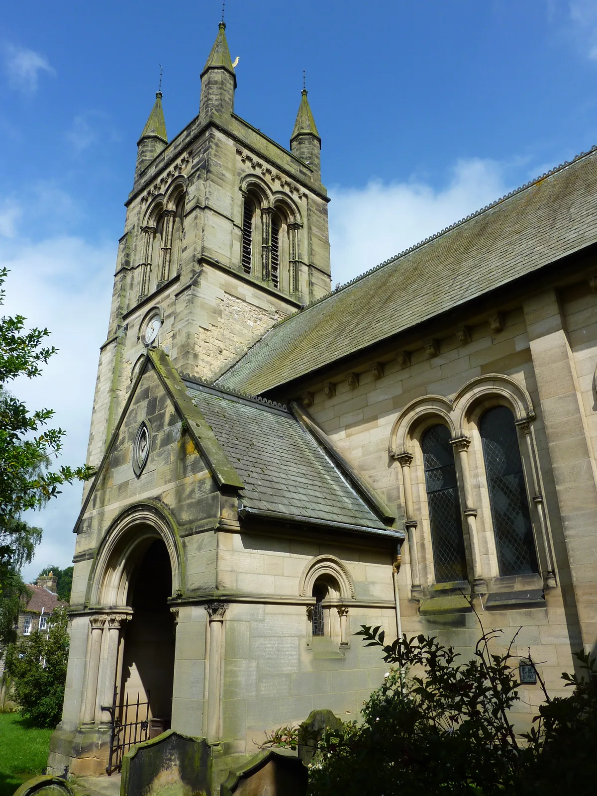
Church of All Saints, Helmsley
Historic churches · 0.3 km

Bridge Over Borough Beck
Historic bridges · 0.3 km

Helmsley Bridge
Historic bridges · 0.3 km
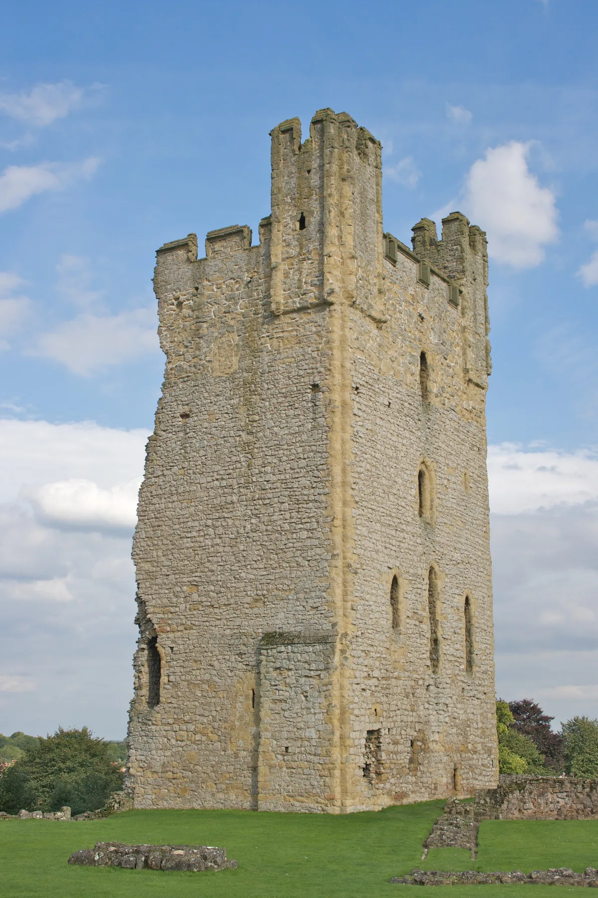
Helmsley Castle
Castles · 0.4 km

Helmsley Walled Garden
Gardens · 0.6 km

National Centre for Birds of Prey
Natural landmarks · 1.3 km

Duncombe Park
Museums · 1.4 km

Tuscan Temple
Historic houses · 1.5 km
Nearby
📷 6📷 5Open-air theatres · Yorkshire & the Humber
Helmsley Arts Centre
Helmsley Arts Centre — a open-air theatre in england yorkshire.
📷 7Historic pubs · Yorkshire & the Humber
The Black Swan And Railings To Front
The Black Swan And Railings To Front in England Yorkshire, United Kingdom.
📷 4Gardens · Yorkshire & the Humber
Canons Garth
Canons Garth — a garden in england-yorkshire, United Kingdom.
📷 5Historic churches · Yorkshire & the Humber
Church of All Saints, Helmsley
Church of All Saints, Helmsley — church in North Yorkshire, UK.
📷 3Historic bridges · Yorkshire & the Humber
Bridge Over Borough Beck
Bridge Over Borough Beck — Grade II listed building-listed bridge in england-yorkshire, United Kingdom.
Where to eat & stay near Helmsley
Places to stay
📷 6 📷 5
📷 5Caravan parks · Yorkshire & the Humber
Wrens of Ryedale Touring Park
Wrens of Ryedale Touring Park — a caravan park in england yorkshire.
📷 5 📷 5
📷 5Caravan parks · Yorkshire & the Humber
Carlton Grange Caravan Site
Carlton Grange Caravan Site — a caravan park in england yorkshire.
 📷 5
📷 5Campsites · Yorkshire & the Humber
Golden Square Caravan Park
Golden Square Caravan Park — a campsite in england yorkshire.
 📷 5
📷 5Caravan parks · Yorkshire & the Humber
Foxholme Caravan Park
Foxholme Caravan Park — a caravan park in england yorkshire.
Places to eat & drink
📷 7Historic pubs · Yorkshire & the Humber
The Black Swan And Railings To Front
The Black Swan And Railings To Front in England Yorkshire, United Kingdom.
 📷 5
📷 5Restaurants · Yorkshire & the Humber
The Star Inn
The Star Inn — a restaurant in england yorkshire.
 📷 5
📷 5Restaurants · Yorkshire & the Humber
The Stapylton Arms
The Stapylton Arms — a restaurant in england yorkshire.
 📷 5
📷 5Historic pubs · Yorkshire & the Humber
The Abbey Inn
The Abbey Inn in England Yorkshire, United Kingdom.
 📷 5
📷 5Historic pubs · Yorkshire & the Humber
Fauconberg Arms Inn
Fauconberg Arms Inn in England Yorkshire, United Kingdom.
 📷 7
📷 7More museums in this region
 📷 3
📷 3Museums · Yorkshire & the Humber
Avro Heritage Museum
Avro Heritage Museum — aviation museum in England.
 📷 5
📷 5Museums · Yorkshire & the Humber
Hat Works
Hat Works — museum and former cotton mill Greater Manchester, England.
 📷 3
📷 3Museums · Yorkshire & the Humber
Anson Engine Museum
Anson Engine Museum — a museum in england-west-midlands, United Kingdom.
 📷 3
📷 3Museums · Yorkshire & the Humber
Portland Basin Museum
Portland Basin Museum — a museum in england-west-midlands, United Kingdom.
Frequently asked questions
- Where is Helmsley?
- Helmsley is in Yorkshire, United Kingdom (postcode YO62 5EY), in the parish of Helmsley.
- What is Helmsley?
- Helmsley is a market town and civil parish in North Yorkshire, England. Historically part of the North Riding of Yorkshire, the town is located at the point where Ryedale leaves the moorland and joins
- How do I get to Helmsley?
- Drivers can use postcode YO62 5EY.
- How do I get to Helmsley?
- Drivers can navigate to postcode YO62 5EY. It sits within the Thirsk and Malton parliamentary constituency.