National landscapes (AONB) · North East England
Harwood
Also known as: Harwood, Swydd Durham
Harwood in England North East, United Kingdom.

Oliver Dixon — CC BY-SA 2.0 via Wikimedia Commons licence
Plan your visit
- Typical visit
- 3 h–6 h
- Free entry
- Dog-friendly
About
Harwood is a place of interest in England North East, United Kingdom — drawn from open-data sources for visitor reference. See the linked Wikipedia article for the full description.
Photo gallery
Protected designations
- Site of Special Scientific Interest: Upper Teesdale SSSI
- National Nature Reserve: MOOR HOUSE-UPPER TEESDALE
- Area of Outstanding Natural Beauty: North Pennines
Designations sourced from Natural England open data under OGL v3.
From the Wikipedia article
Harwood is a small valley and village near the head of Teesdale. Harwood Beck is a tributary of the River Tees in County Durham which forms a short valley, and the village is made of the scattered houses and farms which run the length of the valley. The valley forms part of the North Pennines AONB. Lying along the B6277, the village is 9 miles (14 km) north-west of Middleton-in-Teesdale and 21 miles (34 km) south-east of Alston in Cumbria. It is in the civil parish of Forest and Frith, and the Bishop Auckland parliamentary constituency. There is a long history of lead mining in Harwood, which reached a peak in the late nineteenth century when a church (1849) and school (1853) were built. The buildings, long abandoned, can be still be seen today. To the west of Harwood, Cow Green Reservoir was constructed on former mining land in the 1960s, while Harwood Common rises above the valley to the north.
Excerpt from Wikipedia under CC BY-SA 4.0. See the source article linked in Sources below.
- Coordinates
- 54.6833, -2.2667
- District
- County Durham
- Parish
- Forest and Frith
- Postcode
- DL12 0HX
- Parliamentary constituency
- Bishop Auckland
Sources
- wikidata: Q5677882 (CC0)
- wikipedia: Harwood, County Durham (CC BY-SA 4.0)
Featured in these 2 guides
Other places nearby
Upper Teesdale
Wildlife reserves · 0.0 km

Forest and Frith
Forests & woodlands · 0.9 km

Touting Hill
Mountains & hills · 1.8 km

Three Pikes
Mountains & hills · 2.4 km

Rough Hill
Mountains & hills · 2.6 km

Burnt mound east of Widdy Bank Farm
Archaeological sites · 2.7 km

Burnt mound east of Widdy Bank Farm
Archaeological sites · 2.7 km
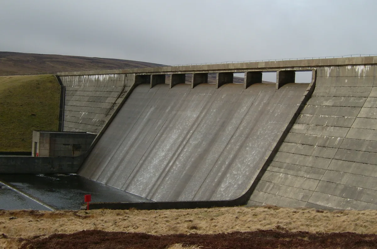
Cow Green Reservoir
Reservoirs & lochs · 3.2 km

Hawk Side Shop
Historic houses · 3.2 km

mine building
Archaeological sites · 3.2 km

Langdon Beck Youth Hostel
Hostels · 3.5 km

Cauldron Snout
National landscapes (AONB) · 3.6 km
Nearby
📷 4Wildlife reserves · North East England
Upper Teesdale
Upper Teesdale in England North East, United Kingdom.
📷 4Forests & woodlands · North East England
Forest and Frith
Forest and Frith in England North East, United Kingdom.
📷 5Mountains & hills · North East England
Touting Hill
Touting Hill — mountain in scotland lowlands. Elevation: 585.5 m.
📷 3Mountains & hills · North East England
Three Pikes
Three Pikes — a mountain in scotland-lowlands, United Kingdom, 650 m.
📷 5Mountains & hills · North East England
Rough Hill
Rough Hill — mountain in scotland lowlands. Elevation: 519 m.
📷 3Archaeological sites · North East England
Burnt mound east of Widdy Bank Farm
Burnt mound east of Widdy Bank Farm — a archaeological in scotland-lowlands, United Kingdom.
Where to eat & stay near Harwood
Places to stay
📷 5Hostels · North East England
Langdon Beck Youth Hostel
Langdon Beck Youth Hostel — a hostel in scotland lowlands.
 📷 5
📷 5Caravan parks · North East England
Gate House Cottage Caravan Site
Gate House Cottage Caravan Site — a caravan park in scotland lowlands.
 📷 5
📷 5Campsites · North East England
Pennine Lodge
Pennine Lodge — a campsite in scotland lowlands.
 📷 5
📷 5Caravan parks · North East England
Country Style Holiday Home Park
Country Style Holiday Home Park — a caravan park in scotland lowlands.
 📷 5
📷 5Caravan parks · North East England
Westgate Caravan Park and Camping Site
Westgate Caravan Park and Camping Site — a caravan park in scotland lowlands.
 📷 5
📷 5Caravan parks · North East England
Swinhopeburn Caravan Site
Swinhopeburn Caravan Site — a caravan park in scotland lowlands.
Places to eat & drink
 📷 5
📷 5Historic pubs · North East England
1, Scattergate
1, Scattergate in England North East, United Kingdom.
 📷 5
📷 5Historic pubs · North East England
The Lord Crewe Arms Hotel
The Lord Crewe Arms Hotel in Scotland Lowlands, United Kingdom.
 📷 5
📷 5Cafés · North East England
The White Monk Tearoom
The White Monk Tearoom — a café in scotland lowlands.
 📷 7
📷 7Cafés · North West England
The White Hare Cafe
The White Hare Cafe — a café in england north west.
More national landscapes in this region
 📷 5
📷 5National landscapes (AONB) · North East England
Slaggyford
Slaggyford in England North East, United Kingdom.
 📷 3
📷 3National landscapes (AONB) · North East England
Appleby Fells
Appleby Fells in England North East, United Kingdom.
 📷 4
📷 4National landscapes (AONB) · North East England
Halton Lea Gate
Halton Lea Gate in England North East, United Kingdom.
 📷 4
📷 4National landscapes (AONB) · North East England
High Cup Gill
High Cup Gill in England North East, United Kingdom.
Frequently asked questions
- Where is Harwood?
- Harwood is in North-East England, United Kingdom (postcode DL12 0HX), in the parish of Forest and Frith.
- What is Harwood?
- Harwood in England North East, United Kingdom.
- How do I get to Harwood?
- Drivers can use postcode DL12 0HX.
- Is Harwood a protected site?
- Yes — Harwood is part of the Upper Teesdale SSSI Site of Special Scientific Interest and the MOOR HOUSE-UPPER TEESDALE National Nature Reserve.
- Is Harwood free to visit?
- Yes, Harwood is free to enter.
- How do I get to Harwood?
- Drivers can navigate to postcode DL12 0HX. It sits within the Bishop Auckland parliamentary constituency.