Natural landmarks · North West England
Harter Fell
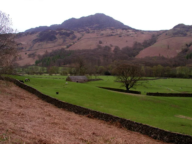
Harter Fell — mountain in Eskdale, Cumberland, Cumbria, England.

Wikimedia Commons contributors — see linked file page for photographer and licence licence
Plan your visit
- Typical visit
- 1 h–2 h
- Nearest railway station
- Dalegarth · 4.6 km
- Free entry
- Dog-friendly
About
Harter Fell is a named natural landmark in the United Kingdom. Wikidata describes it as: "mountain in Eskdale, Cumberland, Cumbria, England". Coordinates: 54.3883°, -3.2042°.
Photo gallery
From the Wikipedia article
Harter Fell is a fell in the western part of the English Lake District, located between the Eskdale and Duddon valleys. Its height is 653 metres (2,142 ft) There are several walking routes to the summit.
Excerpt from Wikipedia under CC BY-SA 4.0. See the source article linked in Sources below.
- Coordinates
- 54.3883, -3.2042
- District
- Westmorland and Furness
- Parish
- Dunnerdale-with-Seathwaite
- Postcode
- LA20 6EF
- Parliamentary constituency
- Barrow and Furness
- Nearest railway station
- Dalegarth — 4.6 km
- Official site
- maps.walkingclub.org.uk
Sources
- wikidata: Q1554359 (CC0)
- wikipedia: Harter Fell (Eskdale) (CC BY-SA 4.0)
- commons: Eskdale and Harter Fell - geograph.org.uk - 167067.jpg (CC BY-SA 4.0)
Other places nearby
Loading nearby places…
Nearby
 📷 3
📷 3Mountains & hills · North West England
Harter Fell
Harter Fell — Named summit at 653.2 m.
 📷 4
📷 4Historic bridges · North West England
Birks Bridge
Birks Bridge — Grade II listed building-listed bridge in england-north-west, United Kingdom.
 📷 5
📷 5Archaeological sites · North West England
Hardknott Roman Fort
Hardknott Roman Fort is an archeological site, the remains of the Roman fort Mediobogdum, located on the western side of the challenging Hardknott Pass in the English Lake District. The fort was built
 📷 3
📷 3Historic bridges · North West England
Wha House Bridge
Wha House Bridge is a historic bridge in the United Kingdom.
 📷 3
📷 3Natural landmarks · North West England
Green Crag
Green Crag — mountain in Cumbria, United Kingdom.
 📷 3
📷 3Mountains & hills · North West England
Green Crag
Green Crag — Named summit at 488.7 m.
More natural landmarks in this region
 ★ Iconic📷 4
Natural landmarks · North West England
Coniston Water
Lake District lake — Swallows and Amazons setting and Donald Campbell water-speed history.
 📷 3
📷 3Natural landmarks · North West England
Elter Water
Elter Water — lake in the United Kingdom.
 📷 3
📷 3Natural landmarks · North West England
Esthwaite Water
Esthwaite Water — lake in the United Kingdom.
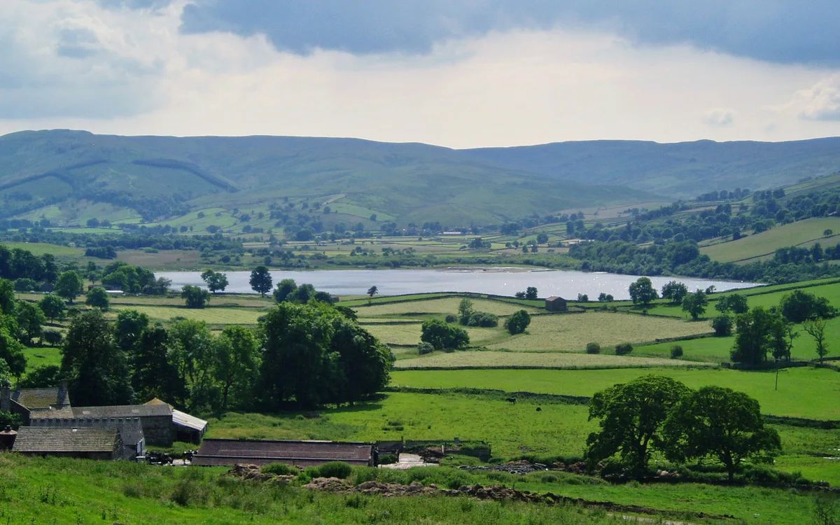 Flagship📷 5
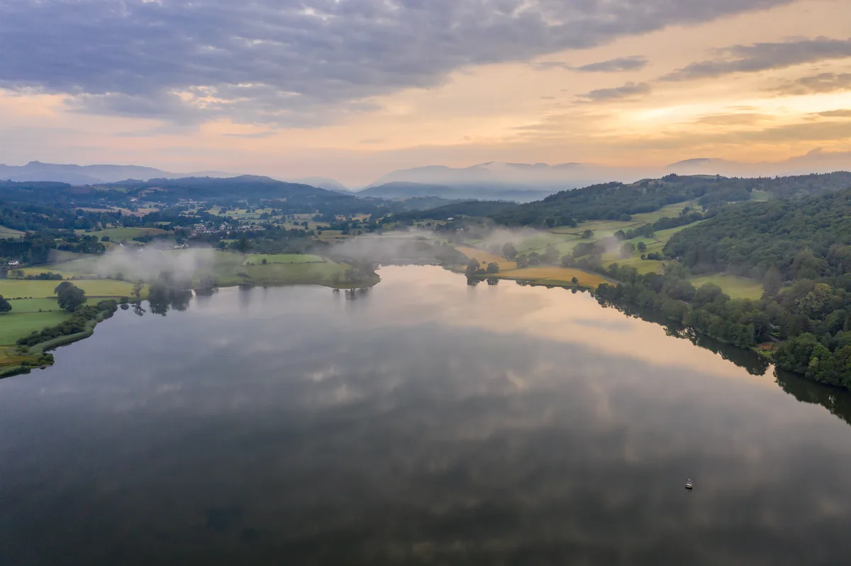
Natural landmarks · North West England
Semerwater
Semerwater — lake in North Yorkshire, England, UK.
Frequently asked questions
- Where is Harter Fell?
- Harter Fell is in North-West England, United Kingdom (postcode LA20 6EF), in the parish of Dunnerdale-with-Seathwaite.
- Is Harter Fell free to visit?
- Yes, Harter Fell is free to enter.
- How do I get to Harter Fell?
- The nearest railway station is Dalegarth, about 4.6 km away. Drivers can navigate to postcode LA20 6EF.