Historic bridges · North West England
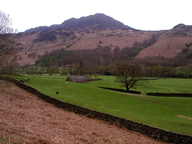
Wha House Bridge
Also known as: Whahouse Bridge
Wha House Bridge is a historic bridge in the United Kingdom.

Wikimedia Commons contributors — see linked file page for photographer and licence licence
Plan your visit
- Typical visit
- 15 min–30 min
- Nearest railway station
- Dalegarth · 3.0 km
- Free entry
- Dog-friendly
About
Wha House Bridge is a named historic bridge in the United Kingdom. Also known as: Whahouse Bridge. Coordinates: 54.3972°, -3.2279°.
Photo gallery
Place summary
Wha House Bridge is a bridge located in Eskdale, North-West England, postcode CA19. It is also known as Whahouse Bridge.
AI-generated from the structured facts on this page (operator, designation, listing, era). Not a substitute for visiting.
- Coordinates
- 54.3972, -3.2279
- District
- Cumberland
- Parish
- Eskdale
- Postcode
- CA19 1TH
- Parliamentary constituency
- Barrow and Furness
- Nearest railway station
- Dalegarth — 3 km
Sources
- osm: w1278813318 (ODbL)
- commons: Wha House Bridge, Eskdale.jpg (CC BY-SA 4.0)
Other places nearby
Loading nearby places…
Nearby
 📷 3
📷 3Memorials & monuments · North West England
Model Celtic roundhouse
Model Celtic roundhouse — a memorial in england-north-west, United Kingdom.
📷 3Memorials & monuments · North West England
Model stone circle
Model stone circle — a memorial in england-north-west, United Kingdom.
Hostels · North West England
YHA Eskdale
YHA Eskdale — a hostel in england north west.
 📷 3
📷 3Other places · North West England
Woolpack walk
The Woolpack Walk is a challenge walk which starts and finishes at Woolpack Inn, Eskdale, in the Lake District of England. The route covers 30 km (18.6 mi) and takes in 2,040 m (6,693 ft) of ascent.
 📷 5
📷 5Archaeological sites · North West England
Hardknott Roman Fort
Hardknott Roman Fort is an archeological site, the remains of the Roman fort Mediobogdum, located on the western side of the challenging Hardknott Pass in the English Lake District. The fort was built
 📷 3
📷 3Natural landmarks · North West England
Harter Fell
Harter Fell — mountain in Eskdale, Cumberland, Cumbria, England.
More bridges in this region
 📷 3
📷 3Historic bridges · North West England
Adam Viaduct
Adam Viaduct is a historic bridge in the United Kingdom.
 📷 3
📷 3Historic bridges · North West England
Airton Bridge
Airton Bridge is a historic bridge in the United Kingdom.
 📷 3
📷 3Historic bridges · North West England
Ais Gill Viaduct
Ais Gill Viaduct is a historic bridge in the United Kingdom.
 📷 3
📷 3Historic bridges · North West England
Appersett Bridge
Appersett Bridge is a historic bridge in the United Kingdom.
Frequently asked questions
- Where is Wha House Bridge?
- Wha House Bridge is in North-West England, United Kingdom (postcode CA19 1TH), in the parish of Eskdale.
- Is Wha House Bridge free to visit?
- Yes, Wha House Bridge is free to enter.
- How do I get to Wha House Bridge?
- The nearest railway station is Dalegarth, about 3.0 km away. Drivers can navigate to postcode CA19 1TH.