
Archaeological sites · North East England
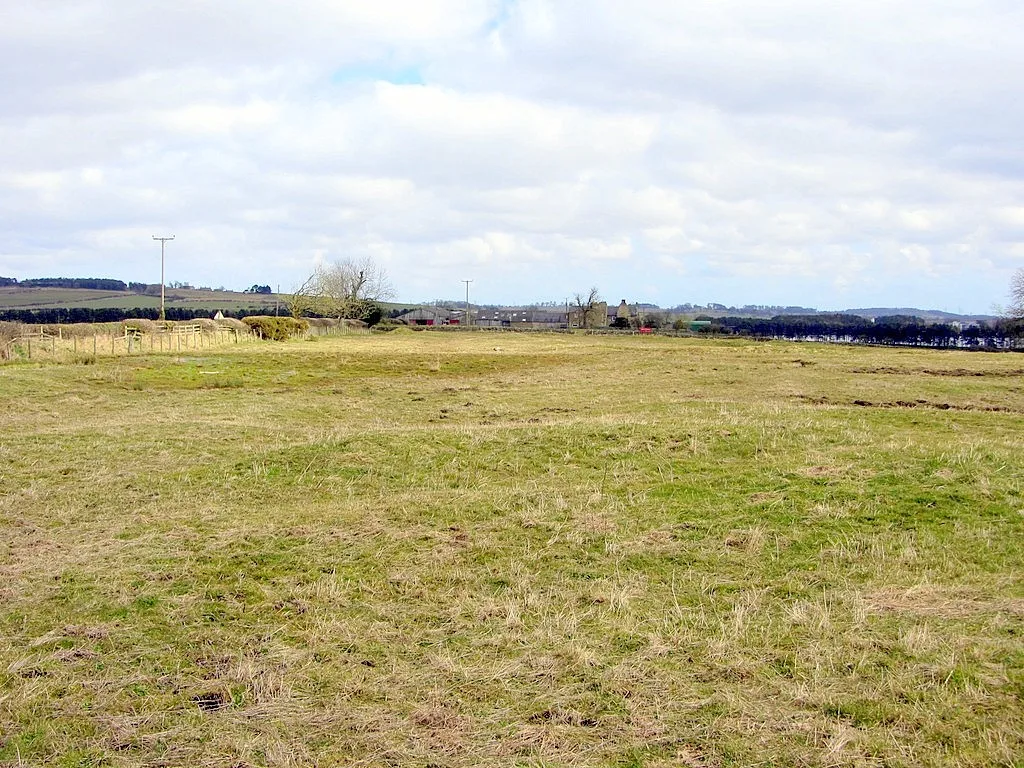
Hadrian's Wall and vallum between the B6309 and the B6321 in wall miles 16, 17 and 18
In or near Matfen.
Hadrian's Wall and vallum between the B6309 and the B6321 in wall miles 16, 17 and 18 — archaeological site in Horsley, Northumberland, England, UK.

P Glenwright — CC BY-SA 2.0 via Wikimedia Commons licence

Plan your visit
- Typical visit
- 45 min–1.5 h
- Nearest railway station
- Prudhoe · 6.0 km
- Free entry
- Dog-friendly
About
Hadrian's Wall and vallum between the B6309 and the B6321 in wall miles 16, 17 and 18 is an archaeological site in the United Kingdom. It covers approximately 29 km². Heritage designation: scheduled monument. Part of Hadrian's Wall. Wikidata describes it as: "archaeological site in Horsley, Northumberland, England, UK". Coordinates: 55.0093°, -1.9211°.
Photo gallery
Place summary
Hadrian's Wall and vallum is an archaeological site located in the Scottish Lowlands, specifically in the parish of Horsley, postcode NE18. This section of the wall spans wall miles 16, 17, and 18 and is designated as a scheduled monument, reflecting its historical significance.
AI-generated from the structured facts on this page (operator, designation, listing, era). Not a substitute for visiting.
- Coordinates
- 55.0093, -1.9211
- District
- Northumberland
- Parish
- Horsley
- Postcode
- NE18 0LL
- Parliamentary constituency
- Hexham
- Nearest railway station
- Prudhoe — 6 km
Sources
- wikidata: Q17648003 (CC0)
Other places nearby

Milecastle 18
Archaeological sites · 0.3 km

Milecastle 17
Reservoirs & lochs · 1.2 km

Wall Houses
Villages · 1.2 km
Whittle Dene reservoirs
Reservoirs & lochs · 1.3 km
Welton medieval settlement, open field system and fishponds
Archaeological sites · 1.4 km

Welton Hall
Memorials & monuments · 1.6 km

Welton tower house
Literary houses · 1.6 km

Milecastle 19
Archaeological sites · 1.8 km
Roman temple in Matfen
Follies · 1.8 km

Wellhouse Farm Caravan Park
Caravan parks · 1.8 km
Wellhouse Farm Camping site
Campsites · 1.9 km

Hadrian's Wall from Oatens Bank, Harlow Hill, to Whittle Dene Watercourse in wall mile 16
Archaeological sites · 2.0 km
Nearby
📷 4Archaeological sites · North East England
Milecastle 18
Milecastle 18 in England North East, United Kingdom.
📷 4Reservoirs & lochs · North East England
Milecastle 17
Milecastle 17 in England North East, United Kingdom.
📷 5📷 4Reservoirs & lochs · North East England
Whittle Dene reservoirs
Whittle Dene reservoirs in England North East, United Kingdom.
📷 3Archaeological sites · North East England
Welton medieval settlement, open field system and fishponds
Welton medieval settlement, open field system and fishponds — archaeological site in Horsley, Northumberland, England, UK.
📷 3Memorials & monuments · North East England
Welton Hall
Welton Hall — Grade II* listed building-listed memorial in scotland-lowlands, United Kingdom.
Where to eat & stay near Hadrian's Wall and vallum between the B6309 and the B6321 in wall miles 16, 17 and 18
Places to stay
📷 5Caravan parks · North East England
Wellhouse Farm Caravan Park
Wellhouse Farm Caravan Park — a caravan park in scotland lowlands.
📷 5Campsites · North East England
Wellhouse Farm Camping site
Wellhouse Farm Camping site — a campsite in scotland lowlands.
 📷 5
📷 5B&Bs · North East England
Duke Of Wellington Inn
Duke Of Wellington Inn — a bed-and-breakfast in scotland lowlands.
 📷 5
📷 5Caravan parks · North East England
High Hermitage Caravan Park
High Hermitage Caravan Park — a caravan park in scotland lowlands.
📷 5Campsites · North East England
High Hermitage Caravan Park
High Hermitage Caravan Park — a campsite in scotland lowlands.
 📷 5
📷 5Places to eat & drink
 📷 5
📷 5 📷 5
📷 5Historic pubs · North East England
The Crown And Anchor
The Crown And Anchor in Scotland Lowlands, United Kingdom.
 📷 7
📷 7Historic pubs · North East England
The Vicars Pele
The Vicars Pele in Scotland Lowlands, United Kingdom.
 📷 5
📷 5Historic pubs · North East England
Wellington Inn
Wellington Inn in Scotland Lowlands, United Kingdom.
 📷 4
📷 4 📷 5
📷 5More archaeological sites in this region
 📷 5
📷 5Archaeological sites · North East England
Medieval Manorial Site of Low Dinsdale
Medieval Manorial Site of Low Dinsdale — archaeological in england yorkshire.
 📷 3
📷 3Archaeological sites · North East England
Old Smelting Mill
Old Smelting Mill — a archaeological in england-north-west, United Kingdom.
 📷 5
📷 5Archaeological sites · North East England
Roper Castle or Round Table (Roman Signal Station)
Roper Castle or Round Table (Roman Signal Station) — archaeological in england north west.
 📷 5
📷 5Archaeological sites · North East England
Nine Standards Rigg
Nine Standards Rigg — archaeological in england north west. Elevation: 662 m.
Frequently asked questions
- Where is Hadrian's Wall and vallum between the B6309 and the B6321 in wall miles 16, 17 and 18?
- Hadrian's Wall and vallum between the B6309 and the B6321 in wall miles 16, 17 and 18 is in the Scottish Lowlands, United Kingdom (postcode NE18 0LL), in the parish of Horsley.
- What is Hadrian's Wall and vallum between the B6309 and the B6321 in wall miles 16, 17 and 18?
- Hadrian's Wall and vallum between the B6309 and the B6321 in wall miles 16, 17 and 18 — archaeological site in Horsley, Northumberland, England, UK.
- How do I get to Hadrian's Wall and vallum between the B6309 and the B6321 in wall miles 16, 17 and 18?
- The nearest railway station is Prudhoe, about 6.0 km away. Drivers can use postcode NE18 0LL.
- Is Hadrian's Wall and vallum between the B6309 and the B6321 in wall miles 16, 17 and 18 a listed building?
- Hadrian's Wall and vallum between the B6309 and the B6321 in wall miles 16, 17 and 18 is officially recognised as scheduled monument listed.
- Is Hadrian's Wall and vallum between the B6309 and the B6321 in wall miles 16, 17 and 18 free to visit?
- Yes, Hadrian's Wall and vallum between the B6309 and the B6321 in wall miles 16, 17 and 18 is free to enter.
- How do I get to Hadrian's Wall and vallum between the B6309 and the B6321 in wall miles 16, 17 and 18?
- The nearest railway station is Prudhoe, about 6.0 km away. Drivers can navigate to postcode NE18 0LL.