
Reservoirs & lochs · North East England
Milecastle 17
In or near Horsley.
Milecastle 17 in England North East, United Kingdom.

Mick Garratt — CC BY-SA 2.0 via Wikimedia Commons licence

Plan your visit
- Typical visit
- 1 h–2.5 h
- Nearest railway station
- Prudhoe · 5.3 km
- Free entry
- Dog-friendly
Getting there & planning your visit
To visit Milecastle 17, you can take a train to Prudhoe station, which is 5.3 km away. The postcode for your sat-nav is NE18 0LH, and entry is free.
About
Milecastle 17 is a place of interest in England North East, United Kingdom — drawn from open-data sources for visitor reference. See the linked Wikipedia article for the full description.
Photo gallery
From the Wikipedia article
Milecastle 17 (Welton/Whittledean) was a milecastle of the Roman Hadrian's Wall. The milecastle is located near to the Whittle Dene reservoirs and is visible as a platform in the ground. Just 174m west of the milecastle is a distinct change in wall construction, indicating that it may have formed a boundary between different legions. The existence of the milecastle has been known since at least 1732 and excavations have produced numerous finds and evidence of post-Roman occupation. The associated turrets both lie beneath the B3618 Military Road. A stone found near the milecastle is the only known written record of the name of Gaius Julius Marcus, a Roman Governor of Britain whose name has been erased from other inscriptions possibly because he fell out of favour with Emperor Caracalla.
Excerpt from Wikipedia under CC BY-SA 4.0. See the source article linked in Sources below.
Background
Architecture
Milecastle 17 was a short-axis milecastle with Type I gateways. Short axis milecastles are thought to have been constructed by the Legio II Augusta who were based in Isca Augusta (Caerleon). The milecastle is located near to Welton, Northumberland and around 200 yd from the Whittle Dene reservoirs from which it derives its common names. East of this point the wall is constructed at the thickness of the foundations for one course of stone before stepping in to a narrower wall, west of here the wall continues at full foundation thickness for three or four courses before stepping in. During this year it is known that Marcus made a large number of inscriptions declaring his loyalty to the…
Sourced from Wikipedia under CC BY-SA 4.0.
- Coordinates
- 55.0085, -1.9030
- District
- Northumberland
- Parish
- Horsley
- Postcode
- NE18 0LH
- Parliamentary constituency
- Hexham
- Nearest railway station
- Prudhoe — 5.3 km
Sources
- wikidata: Q6851152 (CC0)
- wikipedia: Milecastle 17 (CC BY-SA 4.0)
Other places nearby
Whittle Dene reservoirs
Reservoirs & lochs · 0.2 km

Welton Hall
Memorials & monuments · 0.7 km

Welton tower house
Literary houses · 0.7 km
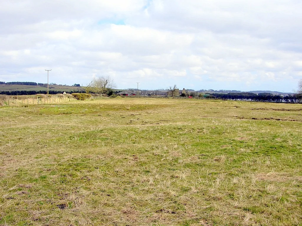
Welton medieval settlement, open field system and fishponds
Archaeological sites · 0.7 km

Hadrian's Wall from Oatens Bank, Harlow Hill, to Whittle Dene Watercourse in wall mile 16
Archaeological sites · 0.9 km
The vallum between Oatens Bank, Harlow Hill, and Whittle Dene Watercourse in wall mile 16
Archaeological sites · 0.9 km

Hadrian's Wall and vallum between the B6309 and the B6321 in wall miles 16, 17 and 18
Archaeological sites · 1.2 km

Harlow Hill
Other places · 1.4 km

Milecastle 16
Archaeological sites · 1.5 km

Milecastle 18
Archaeological sites · 1.5 km

Albemarle Barracks, England
Forts · 2.1 km

Wall Houses
Villages · 2.4 km
Nearby
📷 4Reservoirs & lochs · North East England
Whittle Dene reservoirs
Whittle Dene reservoirs in England North East, United Kingdom.
📷 3Memorials & monuments · North East England
Welton Hall
Welton Hall — Grade II* listed building-listed memorial in scotland-lowlands, United Kingdom.
📷 5Literary houses · North East England
Welton tower house
Welton tower house — a literary house museum in scotland lowlands.
📷 3Archaeological sites · North East England
Welton medieval settlement, open field system and fishponds
Welton medieval settlement, open field system and fishponds — archaeological site in Horsley, Northumberland, England, UK.
📷 3Archaeological sites · North East England
Hadrian's Wall from Oatens Bank, Harlow Hill, to Whittle Dene Watercourse in wall mile 16
Hadrian's Wall from Oatens Bank, Harlow Hill, to Whittle Dene Watercourse in wall mile 16 — archaeological site in Stamfordham, Northumberland, England, UK.
📷 3Archaeological sites · North East England
The vallum between Oatens Bank, Harlow Hill, and Whittle Dene Watercourse in wall mile 16
The vallum between Oatens Bank, Harlow Hill, and Whittle Dene Watercourse in wall mile 16 — archaeological site in Stamfordham, Northumberland, England, UK.
Where to eat & stay near Milecastle 17
Places to stay
 📷 5
📷 5Campsites · North East England
Wellhouse Farm Camping site
Wellhouse Farm Camping site — a campsite in scotland lowlands.
📷 5Caravan parks · North East England
Wellhouse Farm Caravan Park
Wellhouse Farm Caravan Park — a caravan park in scotland lowlands.
 📷 5
📷 5B&Bs · North East England
Duke Of Wellington Inn
Duke Of Wellington Inn — a bed-and-breakfast in scotland lowlands.
 📷 5
📷 5Caravan parks · North East England
High Hermitage Caravan Park
High Hermitage Caravan Park — a caravan park in scotland lowlands.
📷 5Campsites · North East England
High Hermitage Caravan Park
High Hermitage Caravan Park — a campsite in scotland lowlands.
 📷 5
📷 5Places to eat & drink
 📷 5
📷 5Historic pubs · North East England
The Crown And Anchor
The Crown And Anchor in Scotland Lowlands, United Kingdom.
 📷 5
📷 5 📷 5
📷 5Historic pubs · North East England
Wellington Inn
Wellington Inn in Scotland Lowlands, United Kingdom.
 📷 7
📷 7Historic pubs · North East England
The Vicars Pele
The Vicars Pele in Scotland Lowlands, United Kingdom.
 📷 4
📷 4 📷 5
📷 5More places in this region
 📷 2
📷 2Reservoirs & lochs · North East England
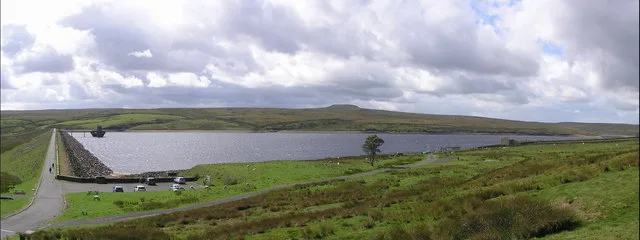
Balderhead Reservoir
Balderhead Reservoir — reservoir in County Durham, England, UK.
 📷 3
📷 3Reservoirs & lochs · North East England
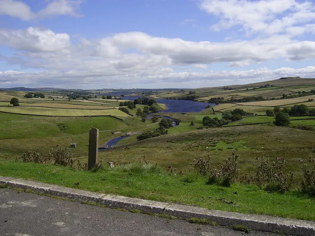
Blackton Reservoir
Blackton Reservoir — reservoir in County Durham, England, UK.
 📷 5
📷 5Reservoirs & lochs · North East England
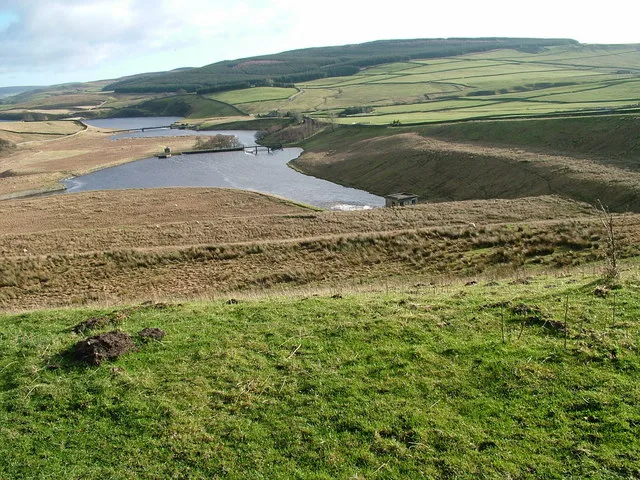
Grassholme Reservoir
Grassholme Reservoir — reservoir in County Durham, England, UK.
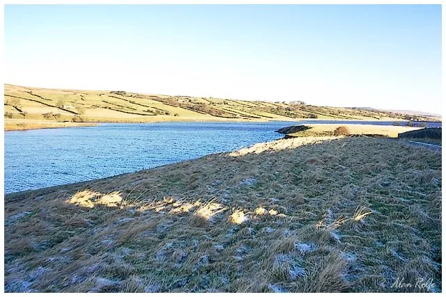 📷 3
📷 3Reservoirs & lochs · North East England
Hury Reservoir
Hury Reservoir — reservoir in County Durham, England, UK.
Frequently asked questions
- Where is Milecastle 17?
- Milecastle 17 is in North-East England, United Kingdom (postcode NE18 0LH), in the parish of Horsley.
- What is Milecastle 17?
- Milecastle 17 in England North East, United Kingdom.
- How do I get to Milecastle 17?
- The nearest railway station is Prudhoe, about 5.3 km away. Drivers can use postcode NE18 0LH.
- Is Milecastle 17 free to visit?
- Yes, Milecastle 17 is free to enter.
- How do I get to Milecastle 17?
- The nearest railway station is Prudhoe, about 5.3 km away. Drivers can navigate to postcode NE18 0LH.