
Museums · East Midlands
Hadfield, Derbyshire
In or near Old Glossop.
Hadfield is a town in the High Peak of Derbyshire, England; it had a population of 6,763 at the 2021 Census. It lies on the south side of the River Etherow, near to the border with Greater Manchester,

JThomas — CC BY-SA 2.0 via Wikimedia Commons licence

Plan your visit
- Typical visit
- 1.5 h–3 h
- Best time of year
- Year-round
- Nearest railway station
- Hadfield · 0.3 km
- Family-friendly
- Limited wheelchair access
About
Hadfield is a town in the High Peak of Derbyshire, England; it had a population of 6,763 at the 2021 Census. It lies on the south side of the River Etherow, near to the border with Greater Manchester, at the western edge of the Peak District and close to Glossop. Hadfield doubled as the fictional town of Royston Vasey in the BBC comedy series The League of Gentlemen.
Photo gallery
Protected designations
- Site of Special Scientific Interest: Dark Peak SSSI
Designations sourced from Natural England open data under OGL v3.
From the Wikipedia article
Hadfield is a town in the High Peak of Derbyshire, England; it had a population of 6,763 at the 2021 Census. It lies on the south side of the River Etherow, near to the border with Greater Manchester, at the western edge of the Peak District and close to Glossop. Hadfield doubled as the fictional town of Royston Vasey in the BBC comedy series The League of Gentlemen.
Excerpt from Wikipedia under CC BY-SA 4.0. See the source article linked in Sources below.
Background
History
Hadfield was part of the Manor of Glossop and, at the time of the Domesday Book in 1086, belonged to William the Conqueror. King Henry I granted the land to William Peveril. In 1157, King Henry II gave it to the Abbey of Basingwerk in North Wales. In 1537, King Henry VIII gave it to the Earl of Shrewsbury, from whom it came to the Howard family (Dukes of Norfolk). While the Howards were responsible in the 1810s for the development of Glossop, it was the Sidebottom family who developed Hadfield; they bought the Waterside and Bridge Mill complex from John Turner and John Thornley in 1820. For three generations, they developed these mills as a large spinning and weaving combine. They built…
Sourced from Wikipedia under CC BY-SA 4.0.
- Coordinates
- 53.4600, -1.9700
- County
- Derbyshire
- District
- High Peak
- Parish
- High Peak, unparished area
- Postcode
- SK13 2DW
- Parliamentary constituency
- High Peak
- Nearest railway station
- Hadfield — 0.3 km
Sources
- wikipedia: Hadfield, Derbyshire (CC BY-SA 4.0)
Other places nearby

The Spinners Arms Public House
Historic pubs · 0.1 km

Hadfield
Villages · 0.5 km

Mouselow Castle
Vineyards · 0.8 km

Glossop Castle
Castles · 0.8 km
Mouselow Castle
Literary houses · 0.8 km
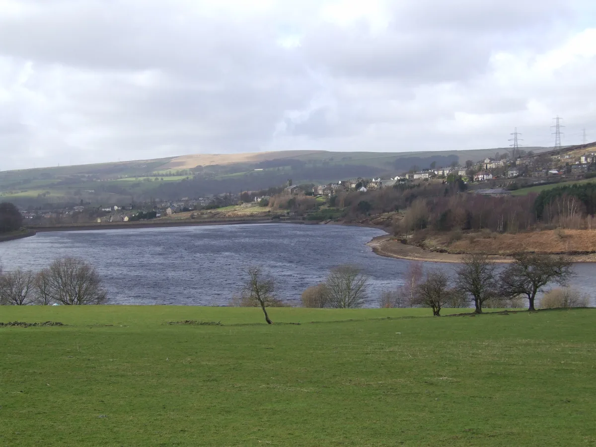
Bottoms Reservoir
Reservoirs & lochs · 1.2 km

Tintwistle
Villages · 1.3 km
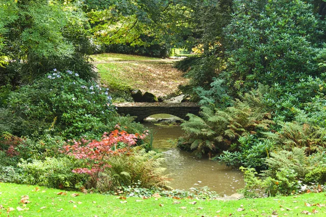
Howard Park
Country parks · 1.4 km

Arnfield Tower
Memorials & monuments · 1.4 km

Dinting Vale Viaduct
Historic bridges · 1.4 km

Ardotalia
Other places · 1.5 km

Melandra Castle
Castles · 1.5 km
Nearby
📷 7Historic pubs · East Midlands
The Spinners Arms Public House
The Spinners Arms Public House in England Yorkshire, United Kingdom.
📷 5📷 5Vineyards · East Midlands
Mouselow Castle
Mouselow Castle — a UK vineyard in england east midlands, producing English or Welsh wine from cool-climate grape varieties.
📷 5Castles · East Midlands
Glossop Castle
Glossop Castle (also known as Mouselow Castle) is a Norman earthwork north of Glossop, off Hilltop Road, 14 miles (23 km) east of Manchester, on the A57. The site is visible from the main road, standi
📷 5Literary houses · East Midlands
Mouselow Castle
Mouselow Castle — a literary house museum in england east midlands.
📷 3Reservoirs & lochs · East Midlands
Bottoms Reservoir
Bottoms Reservoir — reservoir in Derbyshire, England, UK.
Where to eat & stay near Hadfield, Derbyshire
Places to stay
 📷 5
📷 5Campsites · East Midlands
Crossgate Farm Campsite
Crossgate Farm Campsite — a campsite in england east midlands.
 📷 5
📷 5Caravan parks · East Midlands
Windy Harbour Hotel Caravan and Camping Site
Windy Harbour Hotel Caravan and Camping Site — a caravan park in england east midlands.
 📷 5
📷 5 📷 5
📷 5Campsites · Yorkshire & the Humber
Boarfold Scout Camp
Boarfold Scout Camp — a campsite in england west midlands.
 📷 5
📷 5Campsites · East Midlands
Crowden Campsite
Crowden Campsite — a campsite in england east midlands.
 📷 5
📷 5Hostels · East Midlands
Crowden Outdoor Education Centre
Crowden Outdoor Education Centre — a hostel in england east midlands.
Places to eat & drink
📷 7Historic pubs · East Midlands
The Spinners Arms Public House
The Spinners Arms Public House in England Yorkshire, United Kingdom.
 📷 5
📷 5Historic pubs · East Midlands
The Oakwood and Oakwood Restaurant
The Oakwood and Oakwood Restaurant in England Yorkshire, United Kingdom.
 📷 5
📷 5Historic pubs · East Midlands
Norfolk Arms Public House
Norfolk Arms Public House in England Yorkshire, United Kingdom.
 📷 5
📷 5Historic pubs · East Midlands
Bulls Head Public House
Bulls Head Public House in England Yorkshire, United Kingdom.
 📷 5
📷 5Historic pubs · East Midlands
Former Dollars Public House
Former Dollars Public House in England Yorkshire, United Kingdom.
 📷 5
📷 5Historic pubs · East Midlands
The Crown Inn, Glossop
The Crown Inn, Glossop in England Yorkshire, United Kingdom.
More museums in this region
 📷 5
📷 5Museums · East Midlands
Stamford Town Hall
Stamford Town Hall — building in Stamford, Lincolnshire, England, UK.
 📷 5
📷 5Museums · East Midlands
Thorney Museum
Thorney Museum — a museum in england-london, United Kingdom.
 📷 5
📷 5Museums · East Midlands
Octavia Hill Birthplace Museum
Octavia Hill Birthplace Museum — a museum in england-london, United Kingdom.
 📷 5
📷 5Museums · East Midlands
Museum of Technology
Museum of Technology — a museum in england-london, United Kingdom.
Frequently asked questions
- Where is Hadfield, Derbyshire?
- Hadfield, Derbyshire is in Derbyshire, the East Midlands, United Kingdom (postcode SK13 2DW), in the parish of High Peak, unparished area.
- What is Hadfield, Derbyshire?
- Hadfield is a town in the High Peak of Derbyshire, England; it had a population of 6,763 at the 2021 Census. It lies on the south side of the River Etherow, near to the border with Greater Manchester,
- How do I get to Hadfield, Derbyshire?
- The nearest railway station is Hadfield, about 0.3 km away. Drivers can use postcode SK13 2DW.
- Is Hadfield, Derbyshire a protected site?
- Yes — Hadfield, Derbyshire is part of the Dark Peak SSSI Site of Special Scientific Interest.
- How do I get to Hadfield, Derbyshire?
- The nearest railway station is Hadfield, about 0.3 km away. Drivers can navigate to postcode SK13 2DW.