
Hill forts · East of England
Sutton Hoo
In or near Great Bealings.
Sutton Hoo — archaeological site near Woodbridge, Suffolk, England, UK.

Wikimedia Commons contributors — see linked file page for photographer and licence licence

Plan your visit
- Typical visit
- 1 h–2 h
- Nearest railway station
- Woodbridge · 1.4 km
- Free entry
- Family-friendly
- Dog-friendly
- Limited wheelchair access
Getting there & planning your visit
To visit Sutton Hoo, the nearest railway station is Woodbridge, located 1.4 km away. Entry is free, but please note that wheelchair accessibility is limited. The postcode for sat-nav is IP12 3DJ.
About
Sutton Hoo is a hill fort in the United Kingdom. Heritage designation: scheduled monument. Owned by National Trust. Managed by National Trust. Wikidata describes it as: "archaeological site near Woodbridge, Suffolk, England, UK". Coordinates: 52.0897°, 1.3389°.
Photo gallery
Summary from the official site
Sutton Hoo is an archaeological site known for its Anglo-Saxon burial mounds and the discovery of a ship burial. Visitors can explore Tranmer House, the exhibition hall, and the estate's scenic walks, while learning about the site's rich history through guided tours and exhibitions.
Read more on the official property page.
Protected designations
- Site of Special Scientific Interest: Deben Estuary SSSI
- Area of Outstanding Natural Beauty: Suffolk Coast & Heaths
- Ramsar wetland: Deben Estuary
Designations sourced from Natural England open data under OGL v3.
From the Wikipedia article
Sutton Hoo is the site of two Anglo-Saxon cemeteries dating from the 6th to 7th centuries near Woodbridge, Suffolk, England. Archaeologists have been excavating the area since 1938, when an undisturbed ship burial containing a wealth of Anglo-Saxon artifacts was discovered. The site is important in establishing the history of the Anglo-Saxon kingdom of East Anglia as well as illuminating the Anglo-Saxons during a period which lacks historical documentation. The site was first excavated by Basil Brown, a self-taught archaeologist, under the auspices of the landowner Edith Pretty, but when its importance became apparent, national scholars took over. The artefacts the archaeologists found in the burial chamber include: a suite of metalwork dress fittings in gold and gems, a ceremonial helmet, a shield and sword, a lyre, and silver plate from the Eastern Roman Empire. The ship burial has prompted comparisons with the world of Beowulf. The Old English poem is partly set in Götaland in southern Sweden, which has archaeological parallels to some of the Sutton Hoo finds. Scholars believe Rædwald, king of the East Angles, is the most likely person to have been buried in the ship. During the 1960s and 1980s, the wider area was explored by archaeologists and other burials were revealed. Another burial ground is situated on a second hill-spur about 500 m (1,600 ft) upstream of the first. It was discovered and partially explored in 2000, during preliminary work for the construction of a new tourist visitor centre. The tops of the mounds had been obliterated by agricultural activity. The cemeteries are located close to the River Deben estuary and other archaeological sites. They appear as a group of approximately 20 earthen mounds that rise slightly above the horizon of the hill-spur when viewed from the opposite bank. The visitor centre contains original artefacts, replicas of finds and a reconstruction of the ship burial chamber. The site is in the care of the National Trust;…
Excerpt from Wikipedia under CC BY-SA 4.0. See the source article linked in Sources below.
Background
History
during the early Anglo/Angle-Saxon period, with Sutton Hoo in the south-eastern area near to the coast]] After the withdrawal of the Romans from southern Britain after 410, Germanic tribes such as the Angles and Saxons began to settle in the southeastern part of the island. East Anglia is regarded by many scholars as a region in which this settlement was particularly early and dense; the area's name derives from that of the Angles. Over time, the remnants of the pre-existing Brittonic population adopted the culture of the newcomers. During this period, southern Britain became divided up into a number of small independent kingdoms. Several pagan cemeteries from the kingdom of the East Angles…
Description
Martin Carver believes that the cremation burials at Sutton Hoo were "among the earliest" in the cemetery. Two were excavated in 1938. Under Mound 3 were the ashes of a man and a horse placed on a wooden trough or dugout bier, a Frankish iron-headed throwing-axe, and imported objects from the eastern Mediterranean, including the lid of a bronze ewer, part of a miniature carved plaque depicting a winged Victory, and fragments of decorated bone from a casket. Under Mound 4 was the cremated remains of a man and a woman, with a horse and perhaps also a dog, as well as fragments of bone gaming-pieces. In Mounds 5, 6, and 7, Carver found cremations deposited in bronze bowls. In Mound 5 were found…
Sourced from Wikipedia under CC BY-SA 4.0.
- Coordinates
- 52.0897, 1.3389
- County
- Suffolk
- District
- East Suffolk
- Parish
- Sutton
- Postcode
- IP12 3DJ
- Parliamentary constituency
- Suffolk Coastal
- Nearest railway station
- Woodbridge — 1.4 km
- Opening
- Daily 10:30am–4:30pm
- Official site
- www.nationaltrust.org.uk
Sources
- wikidata: Q503256 (CC0)
- wikipedia: Sutton Hoo (CC BY-SA 4.0)
- commons: Sutton Hoo burial ground 5.jpg (CC BY-SA 4.0)
Other places nearby

Mound 6
Archaeological sites · 0.0 km

Mound 7
Archaeological sites · 0.0 km
Mound 5
Archaeological sites · 0.0 km
Trackway
Archaeological sites · 0.0 km
Sutton Hoo Archeological Site
Archaeological sites · 0.0 km
Mound 14
Archaeological sites · 0.0 km
Warrior & Horse grave
Archaeological sites · 0.0 km
Mound 13
Archaeological sites · 0.0 km
Mound 2
Archaeological sites · 0.1 km

Mound 1
Archaeological sites · 0.1 km
Mound 4
Archaeological sites · 0.1 km

Mound 3
Archaeological sites · 0.1 km
Nearby
📷 3Archaeological sites · East of England
Mound 6
Mound 6 — a archaeological in england-east, United Kingdom.
📷 3Archaeological sites · East of England
Mound 7
Mound 7 — a archaeological in england-east, United Kingdom.
📷 3Archaeological sites · East of England
Mound 5
Mound 5 — a archaeological in england-east, United Kingdom.
📷 3Archaeological sites · East of England
Trackway
Trackway — a archaeological in england-east, United Kingdom.
📷 3Archaeological sites · East of England
Sutton Hoo Archeological Site
Sutton Hoo Archeological Site — a archaeological in england-east, United Kingdom.
📷 3Archaeological sites · East of England
Mound 14
Mound 14 — a archaeological in england-east, United Kingdom.
Where to eat & stay near Sutton Hoo
Places to stay
 📷 5
📷 5Campsites · East of England
Sutton Hoo Holidays Campsite
Sutton Hoo Holidays Campsite — a campsite in england east.
📷 5 📷 5
📷 5 📷 5
📷 5 📷 5
📷 5 📷 5
📷 5Caravan parks · East of England
Shottisham Camp Site
Shottisham Camp Site — a caravan park in england east.
Places to eat & drink
 📷 5
📷 5Cafés · East of England
Honey + Harvey
Honey + Harvey — a café in england east.
 📷 7
📷 7Restaurants · East of England
The Galley Speciality Cuisine
The Galley Speciality Cuisine — a restaurant in england east.
 📷 5
📷 5Historic pubs · East of England
The Royal William Inn
The Royal William Inn in England East, United Kingdom.
 📷 5
📷 5Historic pubs · East of England
The Horse and Groom
The Horse and Groom in England East, United Kingdom.
 📷 5
📷 5 📷 5
📷 5Historic pubs · East of England
Castle Public House
Castle Public House in England East, United Kingdom.
More places run by National Trust
 Flagship📷 10
Parks · London
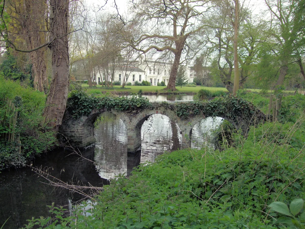
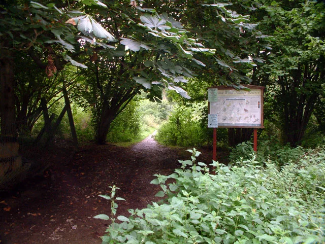
Morden Hall Park
Morden Hall Park — park in Morden, London.
 Flagship📷 10
 📷 5
📷 5Gardens · London
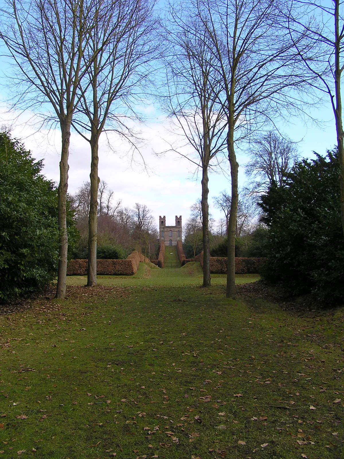
Claremont Landscape Garden
Claremont Landscape Garden — historic garden in Surrey, England, UK.
 📷 5
📷 5Stately homes · London
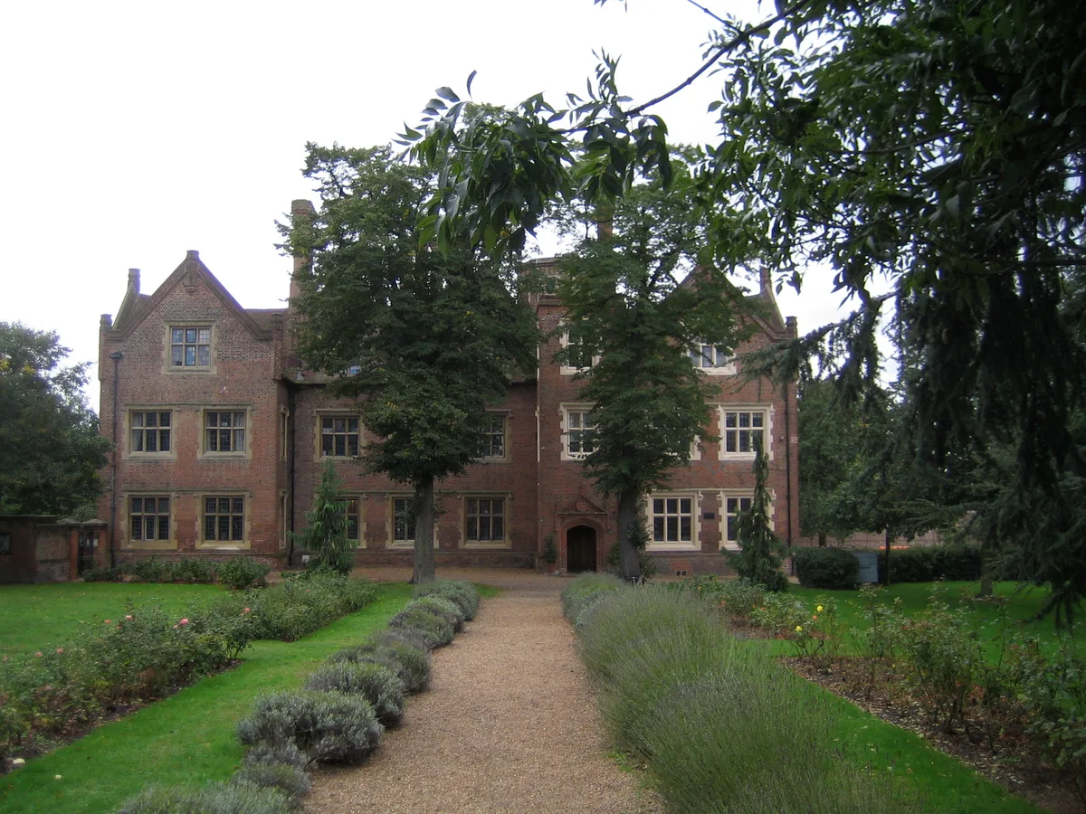
Eastbury Manor House
Eastbury Manor House — Grade I listed historic house museum in London Borough of Barking and Dagenham, United Kingdom.
More places in this region
 📷 5
📷 5Hill forts · East of England
Bartlow Hills
Bartlow Hills — Roman tumuli cemetery in Bartlow (Cambridgeshire, UK).
 📷 5
📷 5Hill forts · East of England
Bedford Castle
Bedford Castle — castle in Bedfordshire, England, UK.
.jpg?width=1200) 📷 5
📷 5Hill forts · East of England
Beech Bottom Dyke
Beech Bottom Dyke — Iron Age ditch in St Albans, Hertfordshire, England, UK.
 📷 5
📷 5Hill forts · East of England
Braughing Roman Town
Braughing Roman Town — archaeological site in Braughing, East Hertfordshire, England, UK.
Frequently asked questions
- Where is Sutton Hoo?
- Sutton Hoo is in Suffolk, East of England, United Kingdom (postcode IP12 3DJ), in the parish of Sutton.
- What is Sutton Hoo?
- Sutton Hoo — archaeological site near Woodbridge, Suffolk, England, UK.
- How do I get to Sutton Hoo?
- The nearest railway station is Woodbridge, about 1.4 km away. Drivers can use postcode IP12 3DJ.
- Who runs Sutton Hoo?
- Sutton Hoo is operated by National Trust.
- Is Sutton Hoo a listed building?
- Sutton Hoo is officially recognised as scheduled monument listed.
- Is Sutton Hoo a protected site?
- Yes — Sutton Hoo is part of the Deben Estuary SSSI Site of Special Scientific Interest and the Suffolk Coast & Heaths National Landscape (AONB).
- Is Sutton Hoo free to visit?
- Yes, Sutton Hoo is free to enter.
- How do I get to Sutton Hoo?
- The nearest railway station is Woodbridge, about 1.4 km away. Drivers can navigate to postcode IP12 3DJ.