
Historic houses · East of England
Bredfield House
In or near Great Bealings.
Bredfield House — house in Bredfield, Suffolk Coastal, Suffolk, England, UK.

Wikimedia Commons contributors — see linked file page for photographer and licence licence

Plan your visit
- Typical visit
- 1 h–2 h
- Nearest railway station
- Melton · 2.3 km
- Family-friendly
- Limited wheelchair access
Getting there & planning your visit
Bredfield House is located in Suffolk, with the nearest railway station being Melton, approximately 2.3 km away. The postcode for sat-nav is IP13 6AA. Accessibility is limited for wheelchair users.
About
Bredfield House is a historic house in the United Kingdom — typically a country seat, manor, or town house with notable architecture or history. Heritage designation: Grade II listed building. Wikidata describes it as: "house in Bredfield, Suffolk Coastal, Suffolk, England, UK". Coordinates: 52.1141°, 1.3081°.
Photo gallery
Protected designations
- Area of Outstanding Natural Beauty: Suffolk Coast & Heaths
Designations sourced from Natural England open data under OGL v3.
From the Wikipedia article
Bredfield House (or White House as it was also known) was a now-demolished country house situated in the village of Bredfield, around 2 miles north of Woodbridge, Suffolk, England, United Kingdom. It was a Jacobean building and was traditionally the seat of the Jenney family.
Excerpt from Wikipedia under CC BY-SA 4.0. See the source article linked in Sources below.
Background
History
In the seventeenth century Bredfield belonged to the Marryot family, who built the house. It passed to the Jenney family in 1683 by the marriage of Dorothy, daughter and co-heiress of Robert Marryott, to Edmund, the second son of Sir Robert Jenney. A later Edmund Jenney was High Sheriff of Suffolk for 1740. The house is best known as the birthplace Edward FitzGerald (1809 1883), who translated the Rubàiyàt of Omar Khayyàm. Edward's father, John Fitzgerald, had rented it in 1801 from the Jenneys on his marriage to Edward's mother. Edward described it in his poem of 1839, Bredfield Hall which starts thus: Fitzgerald described the house as overlooking Hollesley Bay at the time when Horatio…
Sourced from Wikipedia under CC BY-SA 4.0.
- Coordinates
- 52.1141, 1.3081
- County
- Suffolk
- District
- East Suffolk
- Parish
- Bredfield
- Postcode
- IP13 6AA
- Parliamentary constituency
- Central Suffolk and North Ipswich
- Nearest railway station
- Melton — 2.3 km
Sources
- wikidata: Q4960131 (CC0)
- wikipedia: Bredfield House (CC BY-SA 4.0)
- commons: The White House, Bredfield, Suffolk postcard c.1905.jpg (CC BY-SA 4.0)
Other places nearby

Bredfield Pump and Village Sign
Public art & sculpture · 0.9 km
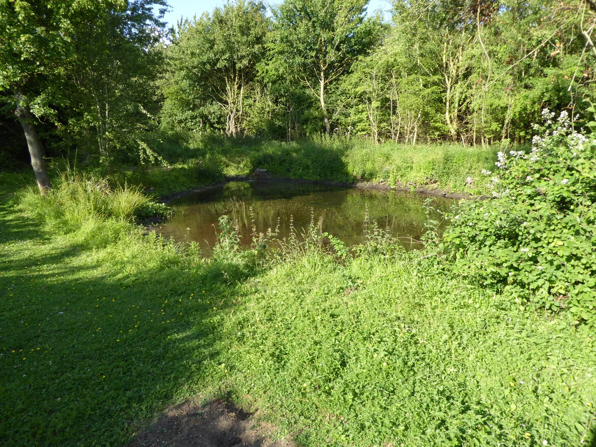
Foxburrow Farm
Wildlife reserves · 1.2 km

Castle Public House
Historic pubs · 1.6 km

Bredfield War Memorial
Memorials & monuments · 1.7 km
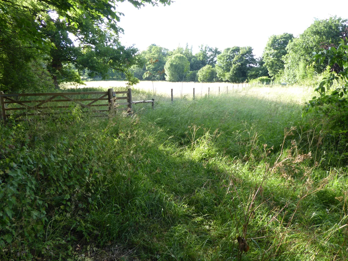
Hutchison's Meadow
Wildlife reserves · 1.7 km

Hasketon War Memorial
Memorials & monuments · 1.8 km

Hasketon Village Sign
Public art & sculpture · 1.8 km

Bredfield Village Sign
Public art & sculpture · 1.8 km

Garrod Memorial
Memorials & monuments · 1.8 km

Platinum jubilee memorial
Memorials & monuments · 1.8 km

Melton
Villages · 1.8 km

Melton Village Sign
Public art & sculpture · 1.9 km
Nearby
📷 3Public art & sculpture · East of England
Bredfield Pump and Village Sign
Bredfield Pump and Village Sign — a public art in East of England, United Kingdom.
📷 5Wildlife reserves · East of England
Foxburrow Farm
Foxburrow Farm — Suffolk Wildlife Trust nature reserve.
📷 5Historic pubs · East of England
Castle Public House
Castle Public House in England East, United Kingdom.
📷 3Memorials & monuments · East of England
Bredfield War Memorial
Bredfield War Memorial — Grade II listed building-listed memorial in england-east, United Kingdom.
📷 4Wildlife reserves · East of England
Hutchison's Meadow
Hutchison's Meadow — Suffolk Wildlife Trust nature reserve.
📷 3Memorials & monuments · East of England
Hasketon War Memorial
Hasketon War Memorial is a memorial in the United Kingdom.
Where to eat & stay near Bredfield House
Places to stay
 📷 5
📷 5 📷 5📷 5
Campsites · East of England
Sutton Hoo Holidays Campsite
Sutton Hoo Holidays Campsite — a campsite in england east.
 📷 5
📷 5 📷 5
📷 5Hotels · East of England
Kesgrave Hall
Kesgrave Hall — a hotel in england east.
 📷 5
📷 5Places to eat & drink
📷 5Historic pubs · East of England
Castle Public House
Castle Public House in England East, United Kingdom.
 📷 5
📷 5Historic pubs · East of England
The Horse and Groom
The Horse and Groom in England East, United Kingdom.
 📷 5
📷 5Historic pubs · East of England
The Royal William Inn
The Royal William Inn in England East, United Kingdom.
 📷 7
📷 7Restaurants · East of England
The Galley Speciality Cuisine
The Galley Speciality Cuisine — a restaurant in england east.
 📷 5
📷 5Cafés · East of England
Honey + Harvey
Honey + Harvey — a café in england east.
 📷 5
📷 5Historic pubs · East of England
Cherry Tree Inn
Cherry Tree Inn in England East, United Kingdom.
More historic houses in this region
 📷 5
📷 5Historic houses · East of England
41 and 41a, Broad Street
41 and 41a, Broad Street — Grade II* listed house in Ely, East Cambridgeshire, England, UK.
 📷 5
📷 5Historic houses · East of England
Abbey Gate House
Abbey Gate House — house in St Albans, Hertfordshire, England, UK.
 📷 5
📷 5Historic houses · East of England
Abbey House
Abbey House — house in Cambridge, Cambridgeshire, England, UK.
.jpg?width=1200) 📷 5
📷 5Historic houses · East of England
Amores Including Outbuildings
Amores Including Outbuildings — architectural structure in Hertford, East Hertfordshire, England, UK.
Frequently asked questions
- Where is Bredfield House?
- Bredfield House is in Suffolk, East of England, United Kingdom (postcode IP13 6AA), in the parish of Bredfield.
- What is Bredfield House?
- Bredfield House — house in Bredfield, Suffolk Coastal, Suffolk, England, UK.
- How do I get to Bredfield House?
- The nearest railway station is Melton, about 2.3 km away. The nearest town is Great Bealings. Drivers can use postcode IP13 6AA.
- Is Bredfield House a listed building?
- Bredfield House is officially recognised as Grade II listed building listed.
- Is Bredfield House a protected site?
- Yes — Bredfield House is part of the Suffolk Coast & Heaths National Landscape (AONB).
- How do I get to Bredfield House?
- The nearest railway station is Melton, about 2.3 km away. Drivers can navigate to postcode IP13 6AA.