Mountains & hills · North West England
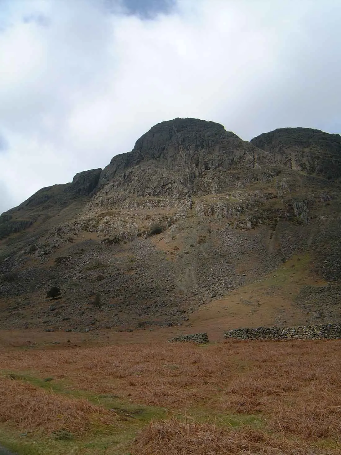
Glade How
In or near Boot.
Glade How — mountain in england north west. Elevation: 440 m.

Michael Graham — CC BY-SA 2.0 via Wikimedia Commons licence
Plan your visit
- Typical visit
- 3 h–8 h
- Best time of year
- Late spring – early autumn (May–Oct)
- Nearest railway station
- Fisherground Halt · 6.3 km
- Dog-friendly
About
Glade How is a mountain located in england north west. Elevation: 440 m. A named British peak recorded in OpenStreetMap. Peaks are typically named on Ordnance Survey 1:50k mapping.
Photo gallery
Place summary
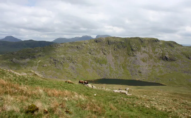
Glade How is a mountain located in North-West England. It is part of the Lake District National Park, known for its rugged terrain and scenic views. The area offers various walking trails, catering to different skill levels, making it a popular destination for hikers and outdoor enthusiasts. The landscape features a mix of craggy peaks and lush valleys, typical of this renowned region.
AI-generated from the structured facts on this page (operator, designation, listing, era). Not a substitute for visiting.
- Coordinates
- 54.4456, -3.3373
- District
- Cumberland
- Parish
- Wasdale
- Postcode
- CA20 1EU
- Parliamentary constituency
- Whitehaven and Workington
- Nearest railway station
- Fisherground Halt — 6.3 km
Sources
- osm: n1906701280 (ODbL)
Other places nearby
Buckbarrow
Mountains & hills · 0.3 km

Buckbarrow
Natural landmarks · 0.4 km

Joss Naylor Cairn
Memorials & monuments · 0.5 km
Middle Fell
Mountains & hills · 1.9 km
Seatallan
Natural landmarks · 2.1 km

Seatallan
Mountains & hills · 2.1 km

High Birkhow
Mountains & hills · 2.2 km
High Birkhow
Mountains & hills · 2.2 km

YHA Wasdale Hall
Hostels · 2.2 km

Church Stile Farm And Holiday Park
Campsites · 2.3 km

Bamse's Wood
Wildlife reserves · 2.6 km
Bamse's Wood
Battlefields & battle sites · 2.6 km
Nearby
📷 3📷 3📷 3Memorials & monuments · North West England
Joss Naylor Cairn
Joss Naylor Cairn is a memorial in the United Kingdom.
📷 3📷 3Natural landmarks · North West England
Seatallan
Seatallan — mountain in Cumbria, United Kingdom.
📷 3Where to eat & stay near Glade How
Places to stay
📷 5Hostels · North West England
YHA Wasdale Hall
YHA Wasdale Hall — a hostel in england north west.
📷 5Campsites · North West England
Church Stile Farm And Holiday Park
Church Stile Farm And Holiday Park — a campsite in england north west.
 📷 5
📷 5Campsites · North West England
Wasdale Campsite
Wasdale Campsite — a campsite in england north west.
 📷 5
📷 5Campsites · North West England
The old Post Office Campsite
The old Post Office Campsite — a campsite in england north west.
 📷 5
📷 5Campsites · North West England
Wasdale Head Campsite
Wasdale Head Campsite — a campsite in england north west.
 📷 5
📷 5Campsites · North West England
The Barn Campsite
The Barn Campsite — a campsite in england north west.
Places to eat & drink
 📷 7
📷 7Cafés · North West England
Grange Bridge Cottage
Grange Bridge Cottage — a café in england north east.
 📷 5
📷 5Historic pubs · North West England
Blacksmiths Arms
Blacksmiths Arms in England North West, United Kingdom.
 📷 7
📷 7Historic pubs · North West England
Church House Public House
Church House Public House in England North West, United Kingdom.
 📷 5
📷 5Historic pubs · North West England
Fox and Grapes
Fox and Grapes in England North West, United Kingdom.
 📷 7
📷 7Historic pubs · North West England
The Travellers Rest
The Travellers Rest in England North West, United Kingdom.
 📷 5
📷 5Restaurants · North West England
The Terrace Coffee House and Restaurant
The Terrace Coffee House and Restaurant — a restaurant in england north west. Cuisine: sandwich;lunch.
More mountains in this region
 📷 5
📷 5Mountains & hills · North West England
Appleton Park
Appleton Park — a hill or mountain in england west midlands.
 📷 5
📷 5Mountains & hills · North West England
High Warren
High Warren — mountain in england west midlands. Elevation: 105 m.
 📷 5
📷 5Mountains & hills · North West England
Alderley Edge
Alderley Edge — mountain in england west midlands. Elevation: 194 m.
 📷 3
📷 3Frequently asked questions
- Where is Glade How?
- Glade How is in North-West England, United Kingdom (postcode CA20 1EU), in the parish of Wasdale.
- What is Glade How?
- Glade How — mountain in england north west. Elevation: 440 m.
- How do I get to Glade How?
- The nearest railway station is Fisherground Halt, about 6.3 km away. Drivers can use postcode CA20 1EU.
- How do I get to Glade How?
- The nearest railway station is Fisherground Halt, about 6.3 km away. Drivers can navigate to postcode CA20 1EU.