
Mountains & hills · North West England
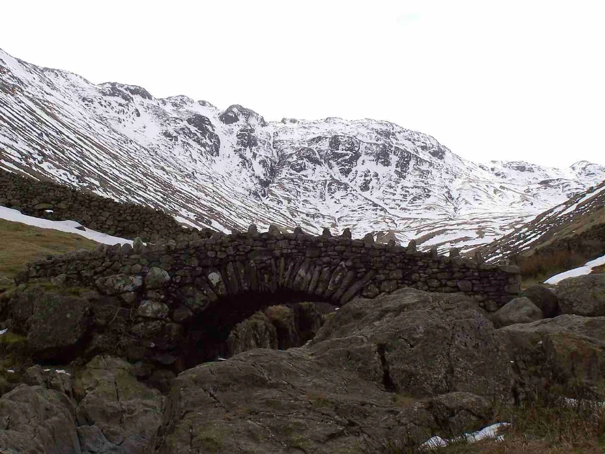
High Birkhow
In or near Boot.
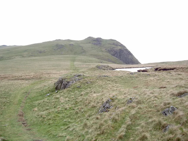
High Birkhow — mountain in england north west. Elevation: 125 m.

Peter Trimming — CC BY-SA 2.0 via Wikimedia Commons licence

Plan your visit
- Typical visit
- 3 h–8 h
- Best time of year
- Late spring – early autumn (May–Oct)
- Nearest railway station
- Fisherground Halt · 4.1 km
- Dog-friendly
About
High Birkhow is a mountain located in england north west. Elevation: 125 m. A named British peak recorded in OpenStreetMap. Peaks are typically named on Ordnance Survey 1:50k mapping.
Photo gallery
Place summary
High Birkhow is a mountain located in North-West England. It is known for its rugged terrain and scenic views, making it a notable feature in the region's landscape. The area is popular for outdoor activities, attracting walkers and climbers looking to explore its natural beauty. Visitors can expect a variety of paths and routes suited to different skill levels.
AI-generated from the structured facts on this page (operator, designation, listing, era). Not a substitute for visiting.
- Coordinates
- 54.4272, -3.3251
- District
- Cumberland
- Parish
- Wasdale
- Postcode
- CA20 1EU
- Parliamentary constituency
- Whitehaven and Workington
- Nearest railway station
- Fisherground Halt — 4.1 km
Sources
- osm: n4896955317 (ODbL)
Other places nearby
High Birkhow
Mountains & hills · 0.0 km

YHA Wasdale Hall
Hostels · 0.4 km

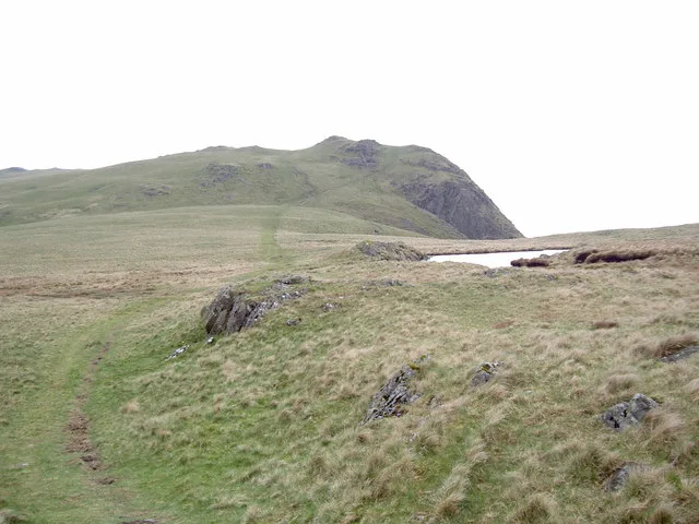
Whin Rigg (Wasdale)
Mountains & hills · 1.3 km
Whin Rigg
Mountains & hills · 1.3 km
Whin Rigg
Natural landmarks · 1.3 km

Linn
Mountains & hills · 1.4 km

Church Stile Farm And Holiday Park
Campsites · 1.6 km

Irton Fell
Mountains & hills · 1.7 km
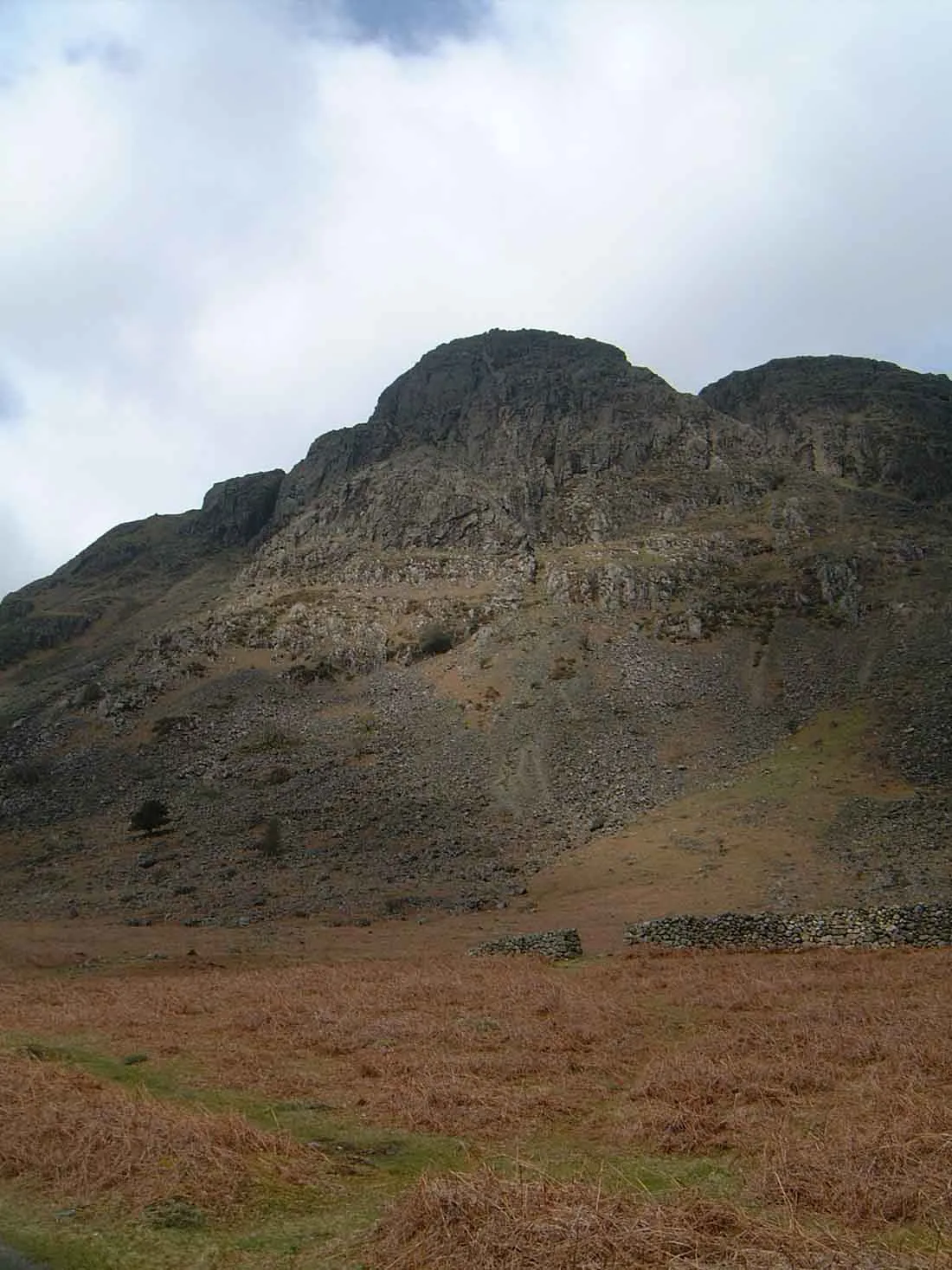
Buckbarrow
Natural landmarks · 1.8 km
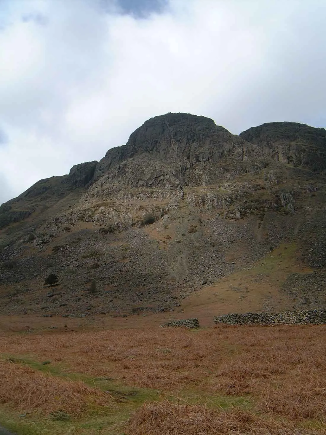
Buckbarrow
Mountains & hills · 1.9 km

Latter Barrow
Mountains & hills · 2.1 km
Latterbarrow
Mountains & hills · 2.1 km
Nearby
📷 5Mountains & hills · North West England
High Birkhow
High Birkhow — a hill or mountain in england north west.
📷 5Hostels · North West England
YHA Wasdale Hall
YHA Wasdale Hall — a hostel in england north west.
📷 5Mountains & hills · North West England
Whin Rigg (Wasdale)
Whin Rigg (Wasdale) — a hill or mountain in england north west.
📷 4📷 4Natural landmarks · North West England
Whin Rigg
Whin Rigg — mountain in the English Lake District.
📷 5Where to eat & stay near High Birkhow
Places to stay
📷 5Hostels · North West England
YHA Wasdale Hall
YHA Wasdale Hall — a hostel in england north west.
📷 5Campsites · North West England
Church Stile Farm And Holiday Park
Church Stile Farm And Holiday Park — a campsite in england north west.
 📷 5
Campsites · North West England
The old Post Office Campsite
The old Post Office Campsite — a campsite in england north west.
 📷 5
Campsites · North West England
Fisherground Campsite
Fisherground Campsite — a campsite in england north west.
 📷 5
Campsites · North West England
The Barn Campsite
The Barn Campsite — a campsite in england north west.
 📷 5
Campsites · North West England
Eskdale Campsite
Eskdale Campsite — a campsite in england north west.
Places to eat & drink
 📷 5
Historic pubs · North West England
Blacksmiths Arms
Blacksmiths Arms in England North West, United Kingdom.
 📷 7
Cafés · North West England
Grange Bridge Cottage
Grange Bridge Cottage — a café in england north east.
 📷 7
Historic pubs · North West England
Church House Public House
Church House Public House in England North West, United Kingdom.
 📷 5
Restaurants · North West England
The Terrace Coffee House and Restaurant
The Terrace Coffee House and Restaurant — a restaurant in england north west. Cuisine: sandwich;lunch.
 📷 7
Historic pubs · North West England
The Travellers Rest
The Travellers Rest in England North West, United Kingdom.
 📷 5
Historic pubs · North West England
Fox and Grapes
Fox and Grapes in England North West, United Kingdom.
More mountains in this region
 📷 5
Mountains & hills · North West England
Appleton Park
Appleton Park — a hill or mountain in england west midlands.
 📷 5
Mountains & hills · North West England
High Warren
High Warren — mountain in england west midlands. Elevation: 105 m.
 📷 5
Mountains & hills · North West England
Alderley Edge
Alderley Edge — mountain in england west midlands. Elevation: 194 m.
 📷 3
Frequently asked questions
- Where is High Birkhow?
- High Birkhow is in North-West England, United Kingdom (postcode CA20 1EU), in the parish of Wasdale.
- What is High Birkhow?
- High Birkhow — mountain in england north west. Elevation: 125 m.
- How do I get to High Birkhow?
- The nearest railway station is Fisherground Halt, about 4.1 km away. The nearest town is Boot. Drivers can use postcode CA20 1EU.
- How do I get to High Birkhow?
- The nearest railway station is Fisherground Halt, about 4.1 km away. Drivers can navigate to postcode CA20 1EU.