
Forts · South East England
Fort Ruins
In or near Brook.
Fort Ruins is a fort in the United Kingdom.

David Smith — CC BY-SA 2.0 via Wikimedia Commons licence

Plan your visit
- Typical visit
- 45 min–1.5 h
- Nearest railway station
- Lymington Pier · 7.9 km
About
Fort Ruins is a fortified site in South-East England. The site is within the Isle Of Wight National Landscape (AONB), and is a designated Site of Special Scientific Interest. It sits within the Isle of Wight West parliamentary constituency. The nearest railway station is Lymington Pier, about 7.9 km away. Postcode area PO39.
Photo gallery
Protected designations
- Site of Special Scientific Interest: Colwell Bay SSSI
- Area of Outstanding Natural Beauty: Isle Of Wight
Designations sourced from Natural England open data under OGL v3.
Place summary
Fort Ruins is a historical fort located in Totland, South-East England, with postcode PO39. It is situated within the Colwell Bay Site of Special Scientific Interest (SSSI) and the Isle of Wight Area of Outstanding Natural Beauty (AONB).
AI-generated from the structured facts on this page (operator, designation, listing, era). Not a substitute for visiting.
- Coordinates
- 50.6874, -1.5419
- District
- Isle of Wight
- Parish
- Totland
- Postcode
- PO39 0FD
- Parliamentary constituency
- Isle of Wight West
- Nearest railway station
- Lymington Pier — 7.9 km
Sources
- osm: w662537617 (ODbL)
Other places nearby
Fort Ruins
Forts · 0.1 km

Fort Ruins
Forts · 0.1 km
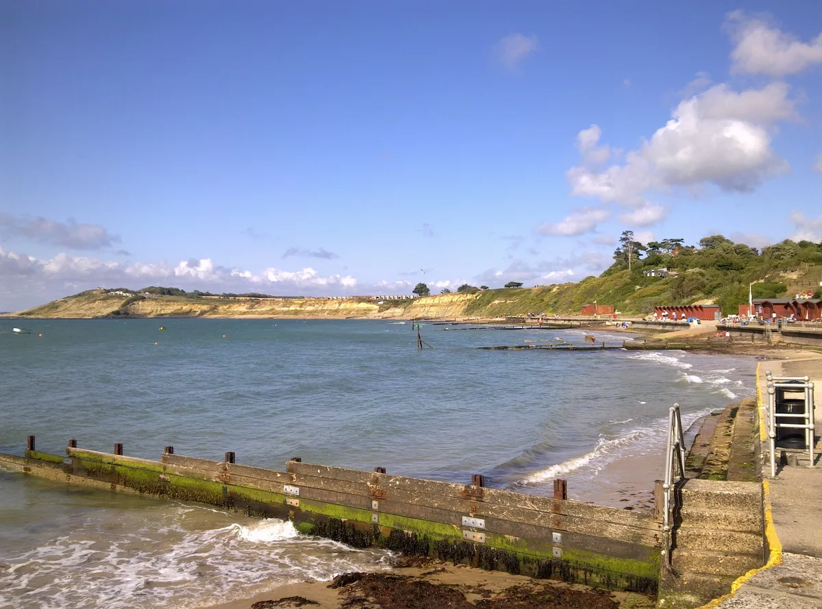
Colwell Bay
Mountains & hills · 0.4 km

Colwell Bay
Beaches · 0.9 km

Heathfield Farm Camp Site
Campsites · 1.0 km

West Wight Heritage Centre
Museums · 1.0 km
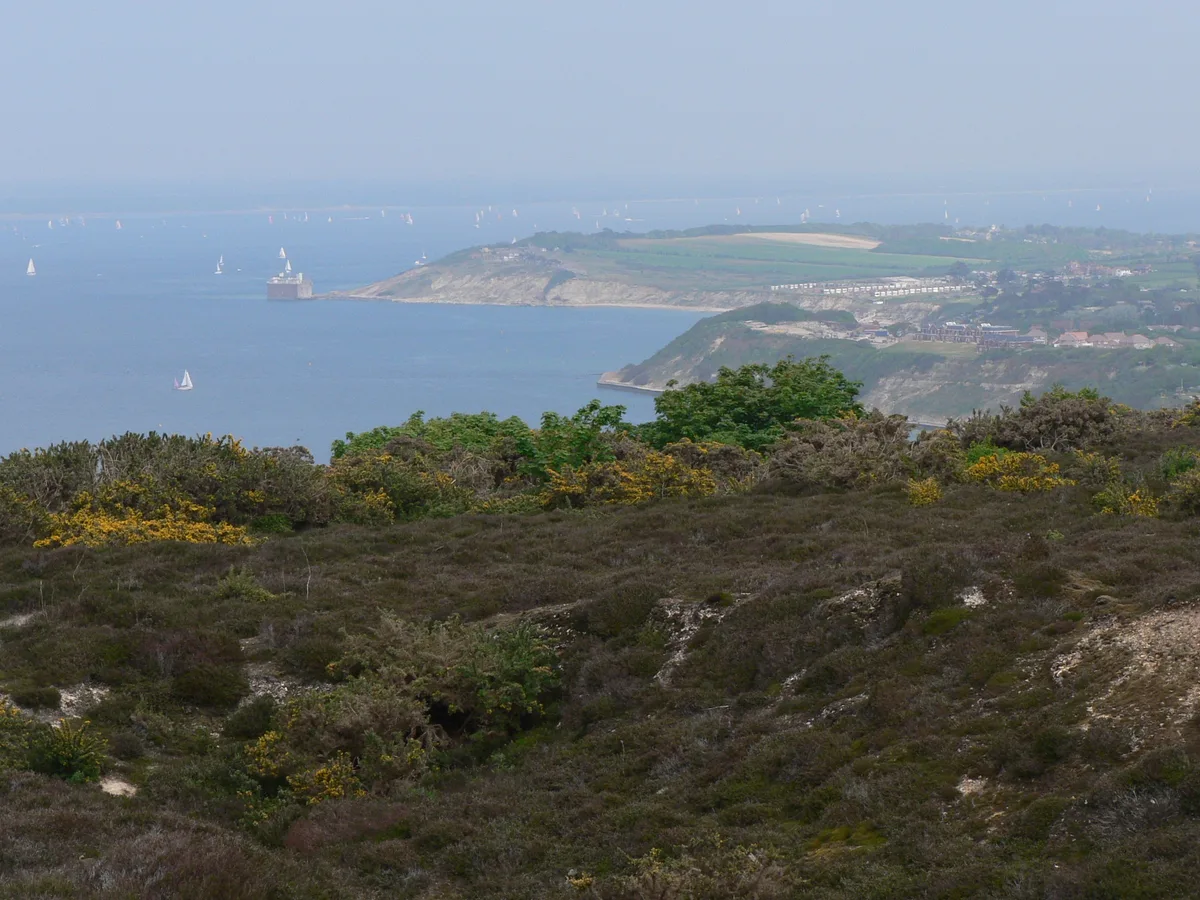
Totland Bay
Mountains & hills · 1.1 km

YHA Totland Bay
Hostels · 1.1 km

Totland Bay War Memorial
Memorials & monuments · 1.2 km
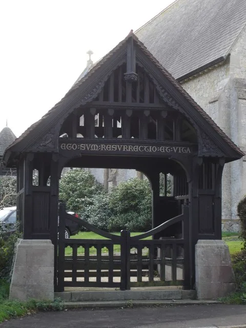
Christ Church, Totland
Historic churches · 1.2 km

Lacey's Farm Quarry
Quarries · 1.4 km

Golden Hill Fort
Forts · 1.4 km
Nearby
📷 5📷 5📷 5📷 5Beaches · South East England
Colwell Bay
Colwell Bay is a beach in the United Kingdom.
📷 5Campsites · South East England
Heathfield Farm Camp Site
Heathfield Farm Camp Site — a campsite in england south east.
📷 5Museums · South East England
West Wight Heritage Centre
West Wight Heritage Centre — a museum in england-south-east, United Kingdom.
Where to eat & stay near Fort Ruins
Places to stay
📷 5Campsites · South East England
Heathfield Farm Camp Site
Heathfield Farm Camp Site — a campsite in england south east.
📷 5 📷 5
📷 5 📷 5
📷 5Hotels · South East England
Farringford House
Farringford House — a hotel in england south east.
 📷 7
📷 7 📷 7
📷 7Hotels · South East England
The George Hotel
The George Hotel — a hotel in england south east.
Places to eat & drink
 📷 7
📷 7 📷 5
📷 5Historic pubs · South East England
The Beach House
The Beach House in England South East, United Kingdom.
 📷 7
📷 7 📷 7
📷 7Historic pubs · South East England
Walhampton Arms, formerly farm building range at Home Farm
Walhampton Arms, formerly farm building range at Home Farm in England South East, United Kingdom.
 📷 7
📷 7 📷 7
📷 7Historic pubs · South East England
The Hobler Public House
The Hobler Public House in England South East, United Kingdom.
More forts in this region
 📷 5
📷 5 📷 5
📷 5 📷 5
📷 5Forts · South East England
Darnet Fort
Darnet Fort is a fort in the United Kingdom.
 📷 5
📷 5Forts · South East England
Fort Amherst
Fort Amherst is a fort in the United Kingdom.
Frequently asked questions
- Where is Fort Ruins?
- Fort Ruins is in South-East England, United Kingdom (postcode PO39 0FD), in the parish of Totland.
- What is Fort Ruins?
- Fort Ruins is a fort in the United Kingdom.
- How do I get to Fort Ruins?
- The nearest railway station is Lymington Pier, about 7.9 km away. Drivers can use postcode PO39 0FD.
- Is Fort Ruins a protected site?
- Yes — Fort Ruins is part of the Colwell Bay SSSI Site of Special Scientific Interest and the Isle Of Wight National Landscape (AONB).
- How do I get to Fort Ruins?
- The nearest railway station is Lymington Pier, about 7.9 km away. Drivers can navigate to postcode PO39 0FD.