Historic churches · South East England
Christ Church, Totland
Christ Church, Totland — church in United Kingdom.

Wikimedia Commons contributors — see linked file page for photographer and licence licence
Plan your visit
- Typical visit
- 30 min–1 h
- Nearest railway station
- Lymington Pier · 9.1 km
- Free entry
About
Christ Church, Totland is a historic church in the United Kingdom. Affiliated with Anglicanism. Wikidata describes it as: "church in United Kingdom". Coordinates: 50.6764°, -1.5411°.
Photo gallery
Protected designations
- Site of Special Scientific Interest: Headon Warren and West High Down SSSI
- Area of Outstanding Natural Beauty: Isle Of Wight
Designations sourced from Natural England open data under OGL v3.
From the Wikipedia article
Christ Church, Totland is a parish church in the Church of England located in Totland, Isle of Wight.
Excerpt from Wikipedia under CC BY-SA 4.0. See the source article linked in Sources below.
Background
History
The church dates from 1875 and was designed by the architects Habershon and Pite. In 1869 a temporary church of wood was erected opposite the present church. This was re-erected on Totland beach where it served as a village reading room and library and subsequently as an annex to the Totland Bay hotel. The current church was finished and consecrated in 1875. The extension was built in 1905. The lych-gate was built in 1906. It is not in alignment with the church (as is normal with such structures) as it was built with the assumption there would be a further extension to the church (which was never built) to bring it into alignment. The wood used reputedly came from H.M.S. Thunderer, which…
Sourced from Wikipedia under CC BY-SA 4.0.
- Coordinates
- 50.6764, -1.5411
- District
- Isle of Wight
- Parish
- Totland
- Postcode
- PO39 0HG
- Parliamentary constituency
- Isle of Wight West
- Nearest railway station
- Lymington Pier — 9.1 km
Sources
- wikidata: Q5108721 (CC0)
- wikipedia: Christ Church, Totland (CC BY-SA 4.0)
- commons: Lychgate of Christ Church, Totland - geograph.org.uk - 264347.jpg (CC BY-SA 4.0)
Other places nearby
Loading nearby places…
Nearby
Hostels · South East England
YHA Totland Bay
YHA Totland Bay — a hostel in england south east.
 📷 5
📷 5Memorials & monuments · South East England
Totland Bay War Memorial
Totland Bay War Memorial — Grade II listed building-listed memorial in england-south-east, United Kingdom.
 📷 5
📷 5Quarries · South East England
Lacey's Farm Quarry
Lacey's Farm Quarry is a quarry in the United Kingdom.
 Flagship📷 5
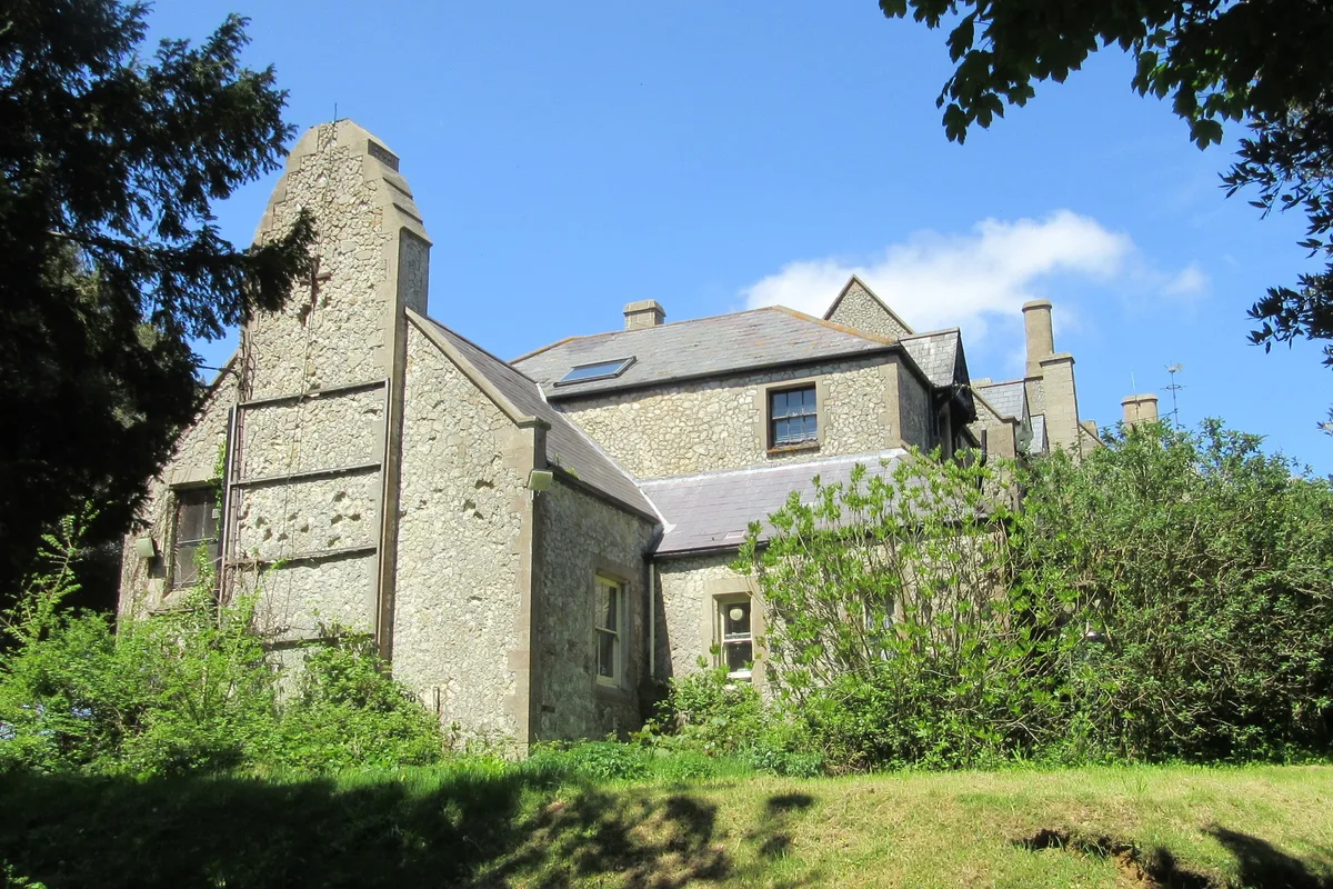
Stately homes · South East England
Weston Manor
Weston Manor — manor house in Totland, Isle of Wight, England, UK.
Caravan parks · South East England
Stoats Farm
Stoats Farm — a caravan park in england south east.
 📷 5
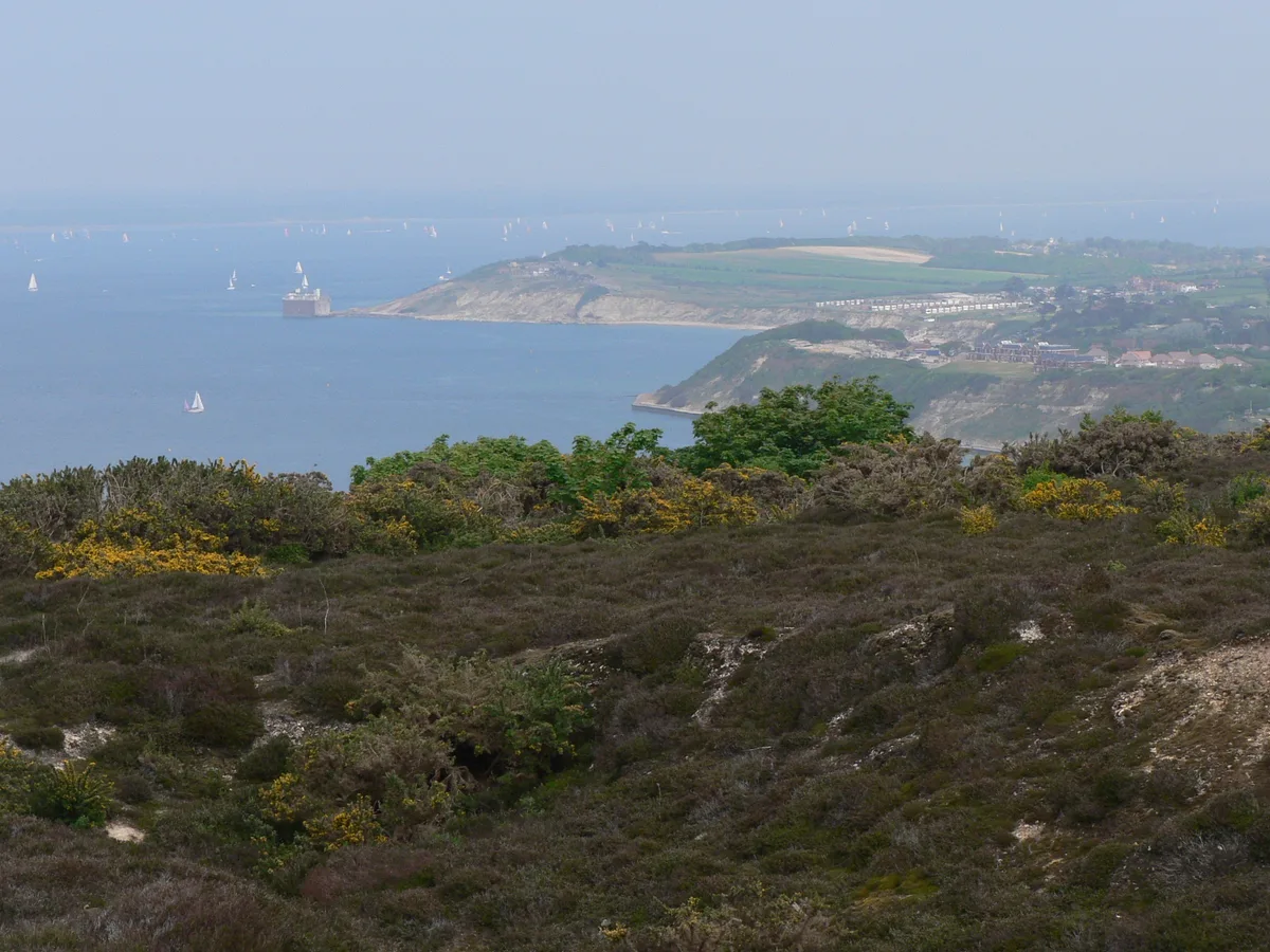
📷 5Mountains & hills · South East England
Totland Bay
Totland Bay — bay on the Isle of Wight.
More places in this region
 Flagship📷 10
Historic churches · South East England
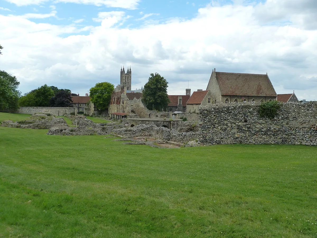
St Augustine's Abbey
St Augustine's Abbey — monastery in Canterbury, Kent, England, UK.
 📷 5
📷 5Historic churches · South East England
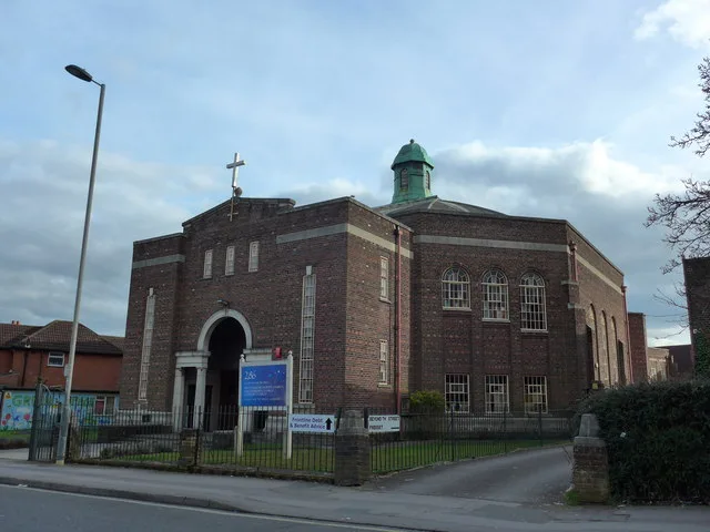
286
286 — church building in Swaythling, Southampton, England.
 📷 5
📷 5Historic churches · South East England
Abbey Church of St Gregory the Great, Downside Abbey
Abbey Church of St Gregory the Great, Downside Abbey — church in Stratton-on-the-Fosse, Somerset, England, UK.
 📷 5
📷 5Historic churches · South East England
Above Bar Church, Southampton
Above Bar Church, Southampton — church in Southampton, UK.
Frequently asked questions
- Where is Christ Church, Totland?
- Christ Church, Totland is in South-East England, United Kingdom (postcode PO39 0HG), in the parish of Totland.
- Is Christ Church, Totland a protected site?
- Yes — Christ Church, Totland is part of the Headon Warren and West High Down SSSI Site of Special Scientific Interest and the Isle Of Wight National Landscape (AONB).
- Is Christ Church, Totland free to visit?
- Yes, Christ Church, Totland is free to enter.
- How do I get to Christ Church, Totland?
- Drivers can navigate to postcode PO39 0HG. It sits within the Isle of Wight West parliamentary constituency.