
Mountains & hills · South Wales
Fan Llia
In or near Ystradfellte.
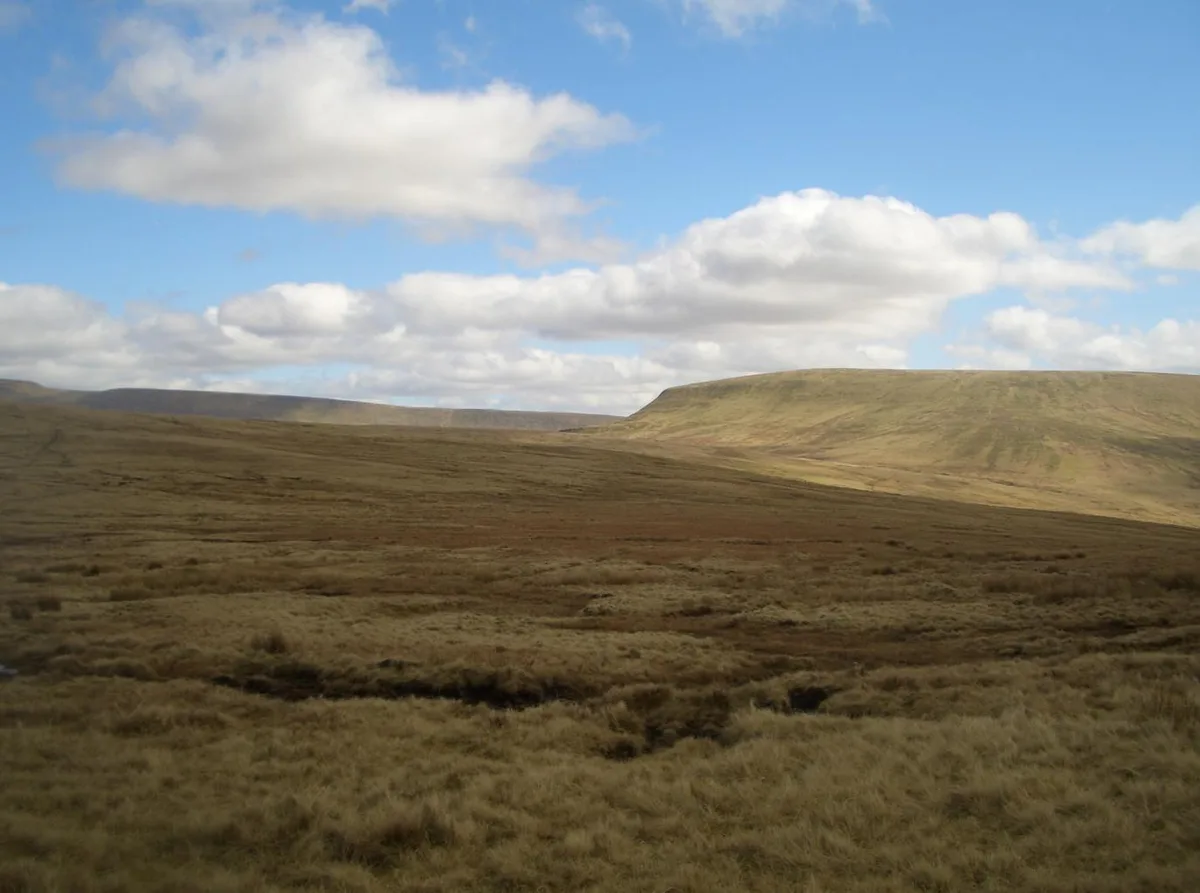
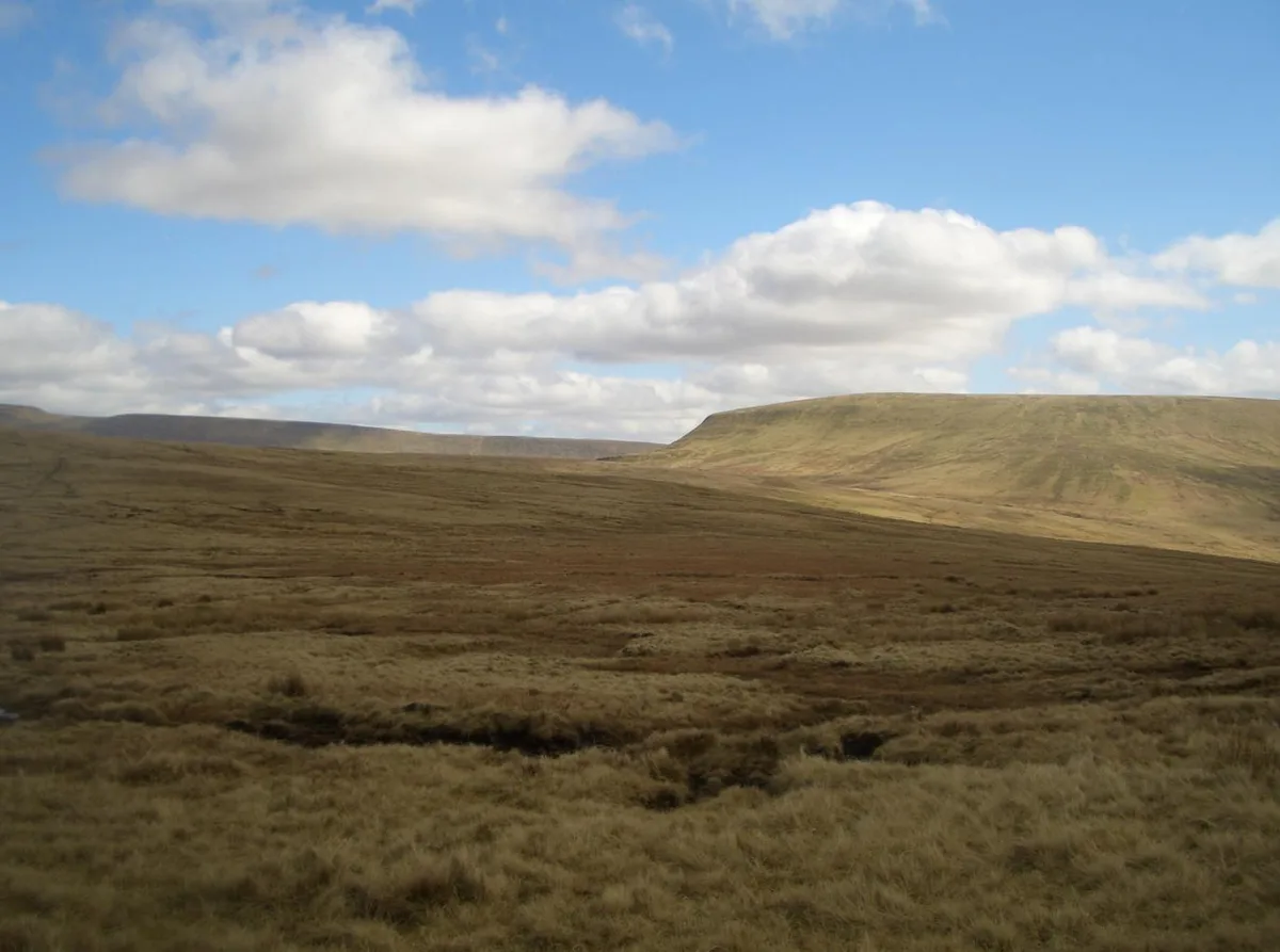
Fan Llia — Named summit at 632 m.

Wikimedia Commons contributors — see linked file page for photographer and licence licence

Plan your visit
- Typical visit
- 3 h–8 h
- Best time of year
- Late spring – early autumn (May–Oct)
- Free entry
- Dog-friendly
About
Fan Llia is a named summit in the United Kingdom. Wikidata describes it as: "Named summit at 632 m.". Coordinates: 51.8556°, -3.5434°.
Photo gallery
From the Wikipedia article
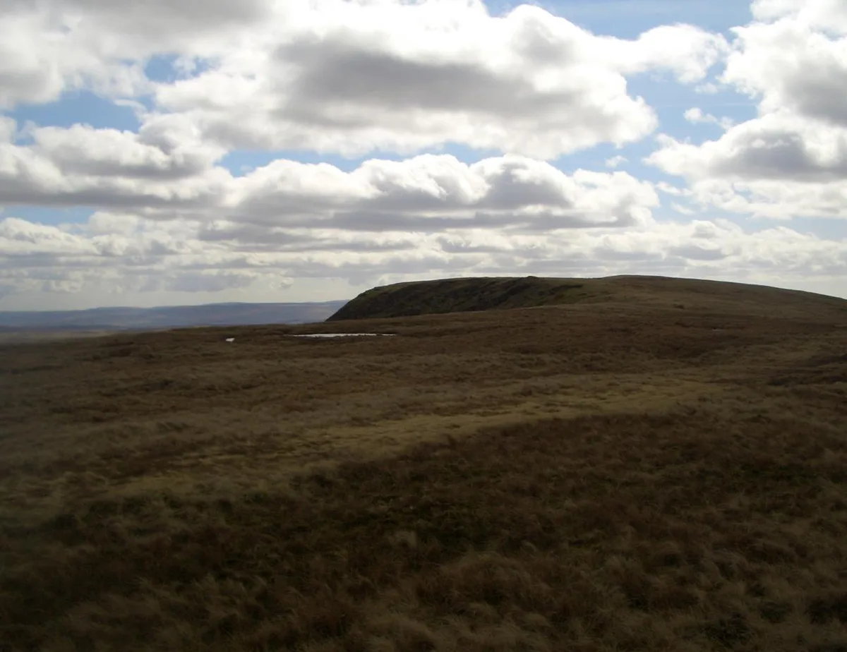
Fan Llia is a subsidiary summit of Fan Fawr in the Fforest Fawr section of the Brecon Beacons National Park, Wales. In common with other peaks in the Fforest Fawr uplands it lies within the county of Powys. The hill has the form of a broad ridge aligned south-south-west to north-north-east peaking at an altitude of 632 m. It has a subsidiary top to the north which is known as Fan Dringarth and which attains a height of 617 m. Its broad northern ridge is eventually truncated by the cliffs of Craig Cwm-du. A number of features of archaeological interest are to be found on its flanks including several house platforms.
Excerpt from Wikipedia under CC BY-SA 4.0. See the source article linked in Sources below.
Background
Visiting
The entire hill is designated as open country so walkers may wander at will though most choose to ascend the hill from the Natural Resources Wales car park at Blaen Llia (OS grid ref SN 926165) just off the minor road between the villages of Ystradfellte and Heol Senni. This ridge route is also followed by the Beacons Way long-distance footpath.
Sourced from Wikipedia under CC BY-SA 4.0.
- Coordinates
- 51.8556, -3.5434
- Address
- Powys, Wales
Sources
- osm: n1541532012 (ODbL)
- wikipedia: Fan Llia (CC BY-SA 4.0)
- commons: Fanllia.JPG (CC BY-SA 4.0)
Other places nearby
Fan Llia
Natural landmarks · 0.1 km

Fan Dringarth
Mountains & hills · 1.1 km
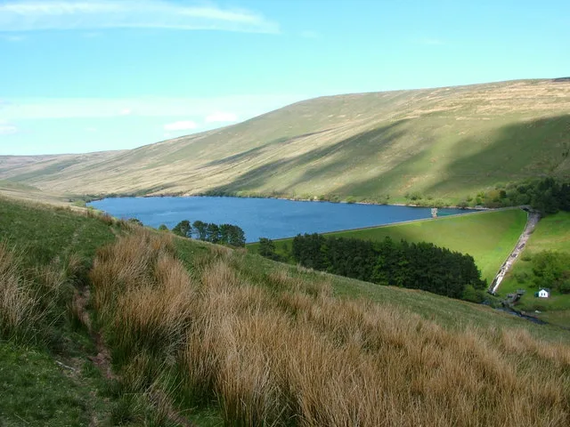
Ystradfellte Reservoir
Reservoirs & lochs · 1.2 km

Maen Llia
Archaeological sites · 1.5 km

Maen Llia
Archaeological sites · 1.5 km
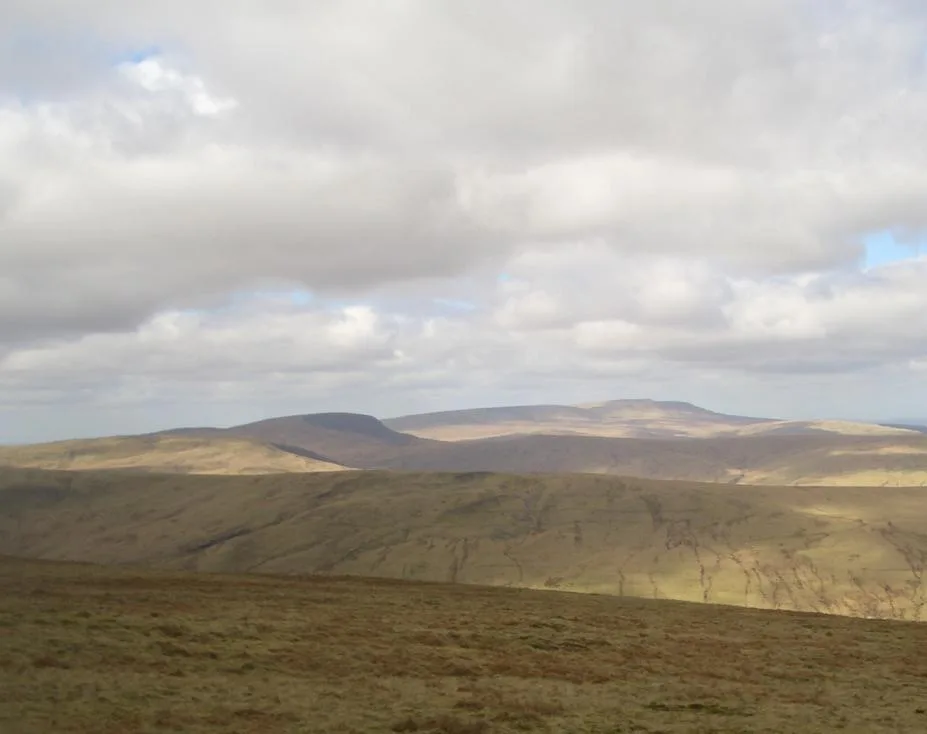
Fan Nedd
Mountains & hills · 2.5 km
Fan Nedd
Natural landmarks · 2.5 km

Gilfach-Wen
Mountains & hills · 2.7 km
Fan Fawr
Natural landmarks · 3.3 km
Fan Fawr
Mountains & hills · 3.3 km

Maen Madoc
Archaeological sites · 3.4 km

Maen Madoc
Archaeological sites · 3.4 km
Nearby
📷 3📷 5Mountains & hills · South Wales
Fan Dringarth
Fan Dringarth — mountain in wales south. Elevation: 617 m.
📷 3Reservoirs & lochs · South Wales
Ystradfellte Reservoir
Ystradfellte Reservoir — reservoir in the United Kingdom.
📷 3Archaeological sites · South Wales
Maen Llia
Maen Llia — a archaeological in wales-south, United Kingdom.
📷 5📷 3Where to eat & stay near Fan Llia
Places to stay
 📷 5
📷 5 📷 5
📷 5Hostels · South Wales
YHA Llwyn-y-celyn (YHA Brecon Beacons)
YHA Llwyn-y-celyn (YHA Brecon Beacons) — a hostel in wales south.
 📷 5
📷 5Campsites · South Wales
Brecon Beacons Wild Camping
Brecon Beacons Wild Camping — a campsite in wales south.
 📷 5
📷 5 📷 5📷 7
Hotels · South Wales
Nant Ddu Lodge Hotel
Nant Ddu Lodge Hotel — a hotel in wales south.
Places to eat & drink
 📷 7
📷 7 📷 5
📷 5Historic pubs · South Wales
White Hart
White Hart — Historic pub — listed building or notable heritage status.
 📷 5
📷 5Restaurants · South Wales
Sultan of Wales
Sultan of Wales — a restaurant in wales south.
More mountains in this region
 Flagship📷 3
Mountains & hills · South Wales
Milford Haven Waterway
Milford Haven Waterway — ria, or flooded valley, in Pembrokeshire, south-west Wales, UK.
 📷 5
📷 5Mountains & hills · South Wales
Ogof Ffynnon Ddu
Ogof Ffynnon Ddu — cave in the Upper Swansea Valley in South Wales.
 📷 3
📷 3 📷 3
📷 3Frequently asked questions
- Where is Fan Llia?
- Fan Llia is in South Wales, United Kingdom.
- What is Fan Llia?
- Fan Llia — Named summit at 632 m.
- How do I get to Fan Llia?
- Its coordinates are 51.8556°, -3.5434°.
- Is Fan Llia free to visit?
- Yes, Fan Llia is free to enter.