
Natural landmarks · South Wales
Fan Fawr
In or near Ystradfellte.
Fan Fawr — mountain (734m) in Powys.

Wikimedia Commons contributors — see linked file page for photographer and licence licence

Plan your visit
- Typical visit
- 1 h–2 h
- Nearest railway station
- Torpantau · 8.4 km
- Free entry
- Dog-friendly
Getting there & planning your visit
To visit Fan Fawr, the nearest railway station is Torpantau, located 8.4 km away. The postcode for navigation is LD3 8NL, and entry to the site is free.
About
Fan Fawr is a named natural landmark in the United Kingdom. Wikidata describes it as: "mountain (734m) in Powys". Coordinates: 51.8633°, -3.4974°.
Photo gallery
From the Wikipedia article
Fan Fawr (Welsh for 'great peak') is a mountain in the Fforest Fawr section of the Brecon Beacons National Park, in Powys, Wales and over 734 m (2,408 ft) high. The summit overlooks the steep eastern face and is marked by a cairn. Unusually, the trig point on this hill does not sit at the summit but 600 m to the south-west on a subsidiary spur. The hill is drained to the west by streams flowing into the Afon Dringarth and to the east by streams draining into the Taf Fawr. The Dringarth is dammed to the west to form Ystradfellte Reservoir as is the Taf Fawr east of the hill to form Beacons Reservoir. To the north-east water flows into the Afon Tarell, a tributary of the River Usk whilst to the south the headwaters of the Afon y Waun conduct water to the Afon Hepste and eventually to the River Neath.
Excerpt from Wikipedia under CC BY-SA 4.0. See the source article linked in Sources below.
Background
Visiting
The entire hill is open country, enabling walkers to wander at will, although most choose to take a line up from the car parks beside the A470 at Storey Arms and Pont ar Daf.
Sourced from Wikipedia under CC BY-SA 4.0.
- Coordinates
- 51.8633, -3.4974
- District
- Powys
- Parish
- Glyn Tarell
- Postcode
- LD3 8NL
- Parliamentary constituency
- Brecon, Radnor and Cwm Tawe
- Nearest railway station
- Torpantau — 8.4 km
Sources
- wikidata: Q3401384 (CC0)
- wikipedia: Fan Fawr (CC BY-SA 4.0)
- commons: Fanfawr.JPG (CC BY-SA 4.0)
Other places nearby
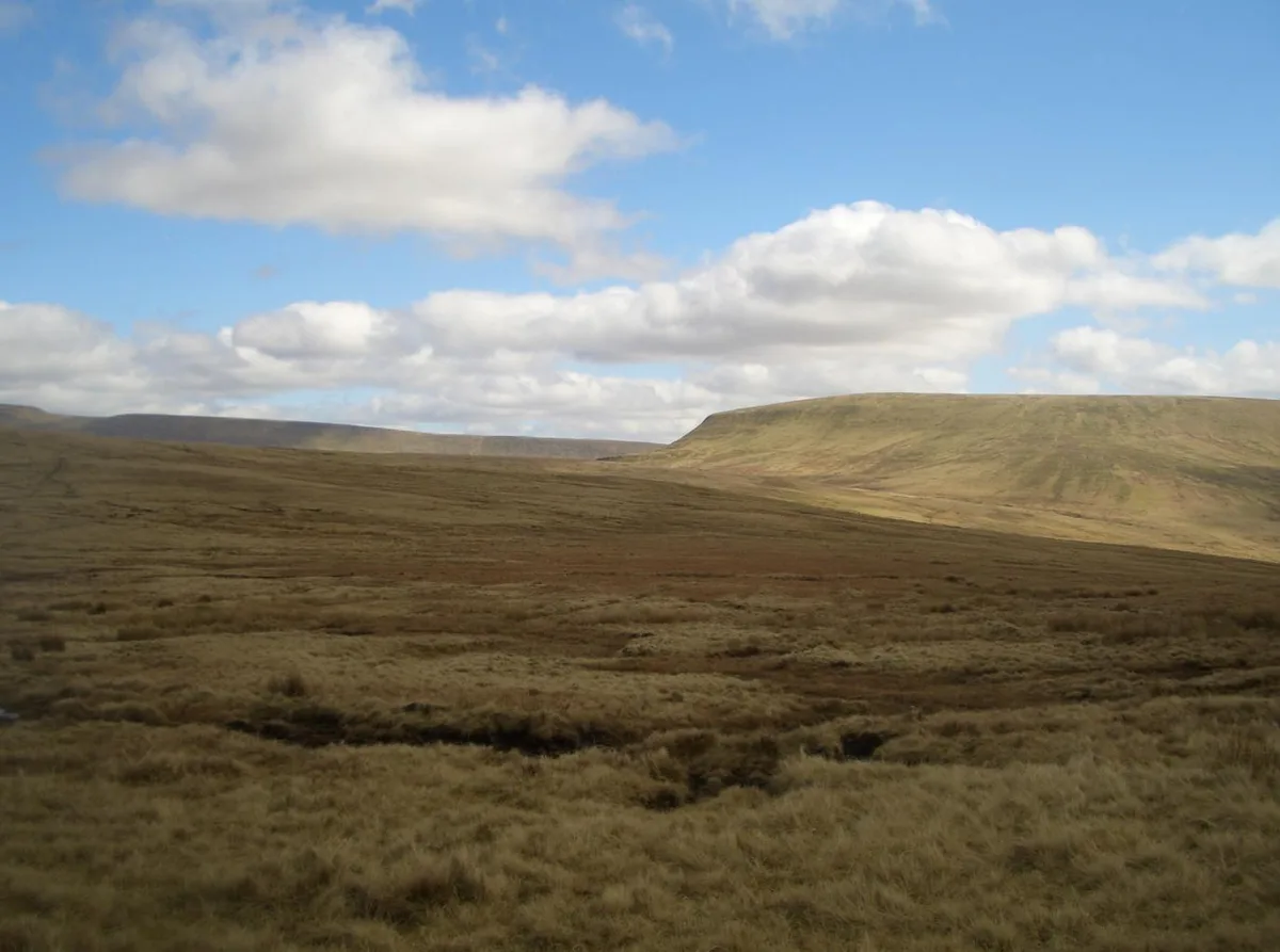
Fan Fawr
Mountains & hills · 0.0 km

Gilfach-Wen
Mountains & hills · 0.7 km
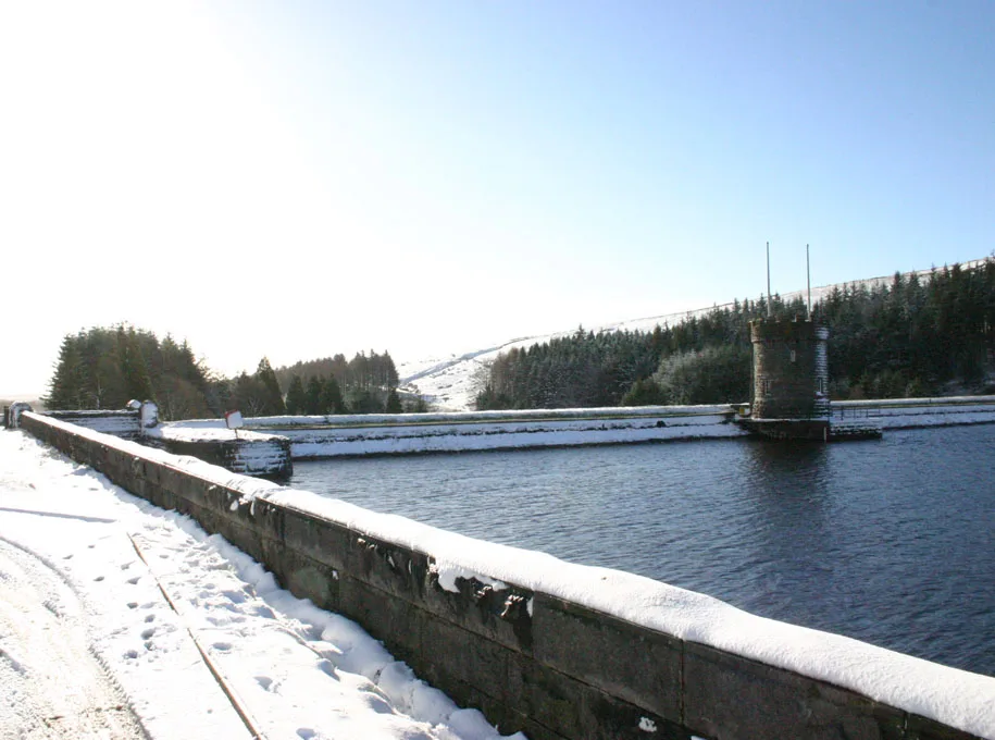
Beacons Reservoir
Reservoirs & lochs · 1.9 km

Rhyd Uchaf II
Vineyards · 2.4 km
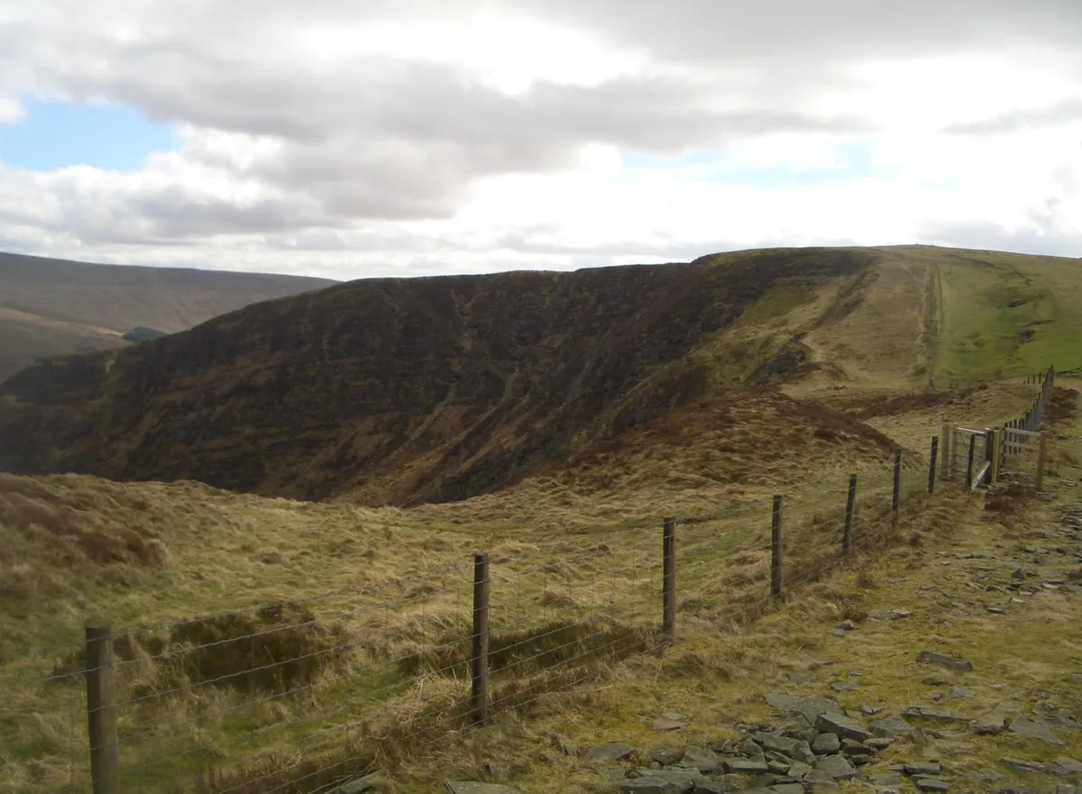
Craig Cerrig-gleisiad
Natural landmarks · 2.6 km
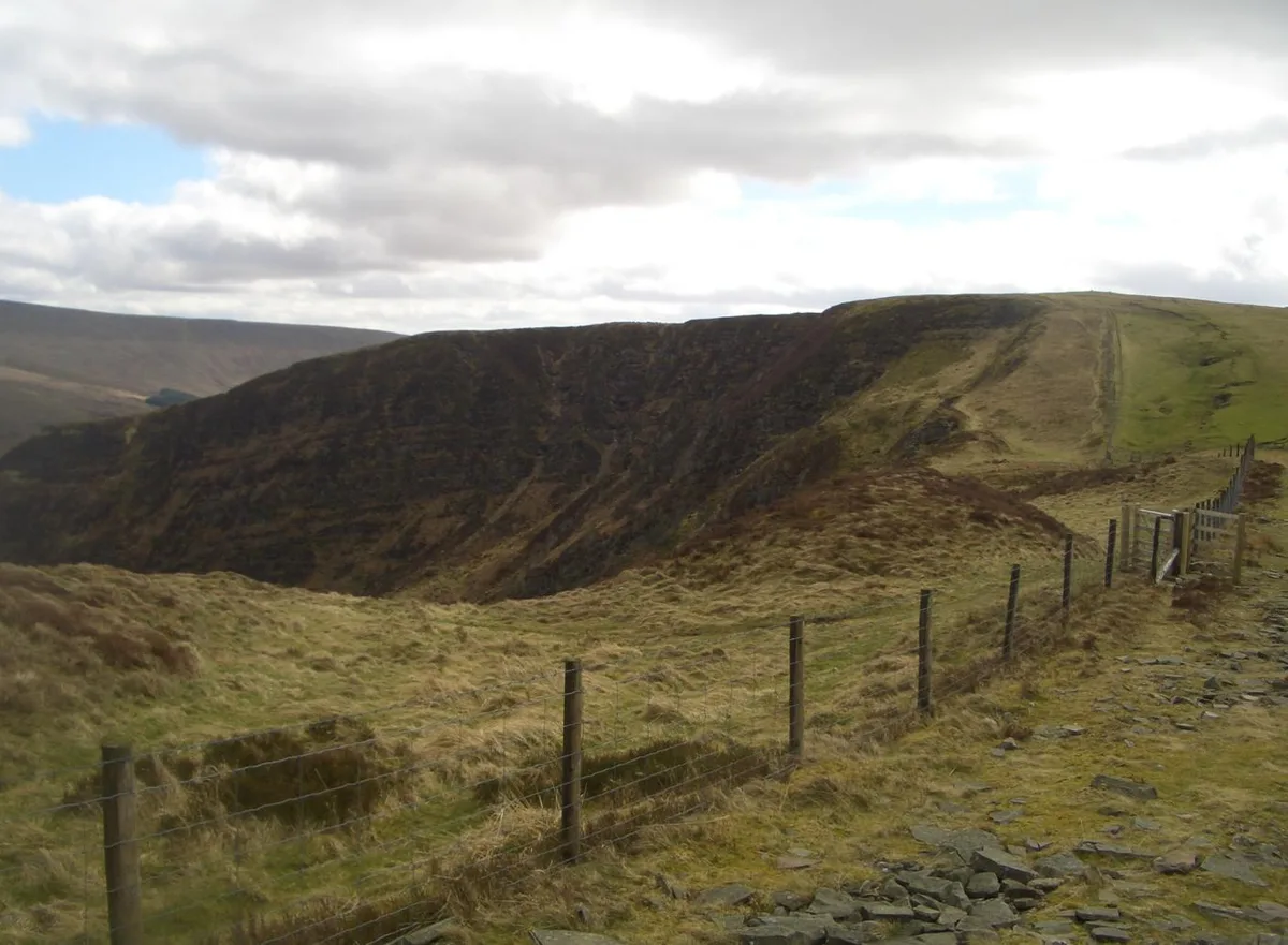
Craig Cerrig-gleisiad
Mountains & hills · 2.6 km
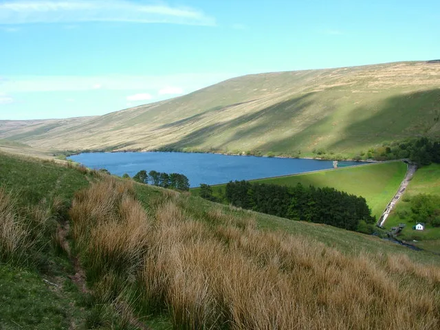
Ystradfellte Reservoir
Reservoirs & lochs · 2.7 km

Fan Dringarth
Mountains & hills · 2.8 km

Twyn-Garreg-Wen
Mountains & hills · 2.8 km
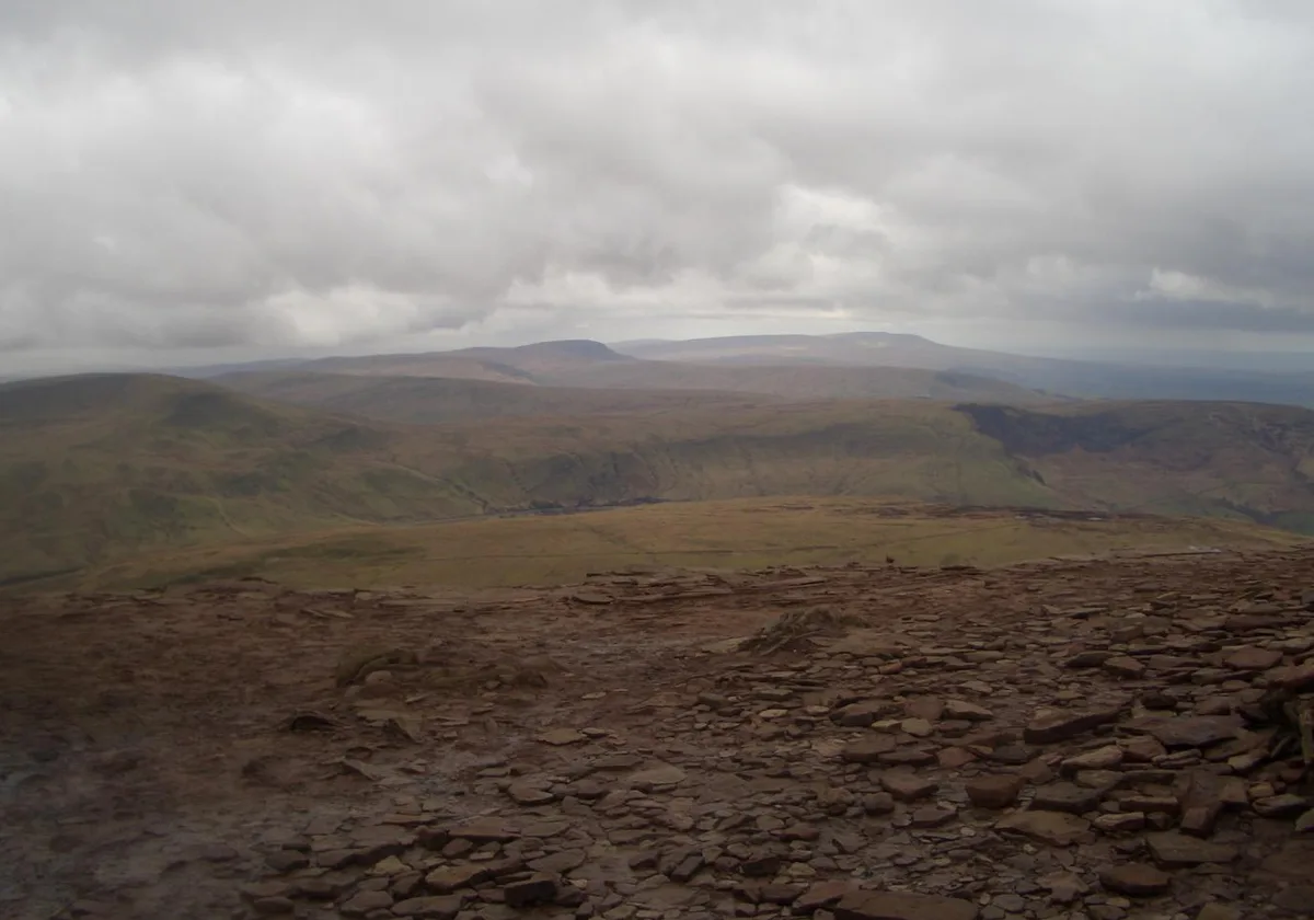
Y Gyrn
Mountains & hills · 2.9 km

YHA Llwyn-y-celyn (YHA Brecon Beacons)
Hostels · 3.2 km

Craig Cerrig-Gleisiad Deserted Rural Settlement
Vineyards · 3.2 km
Nearby
📷 3📷 5📷 3Reservoirs & lochs · South Wales
Beacons Reservoir
Beacons Reservoir — reservoir in Powys, Wales, UK.
📷 5Vineyards · South Wales
Rhyd Uchaf II
Rhyd Uchaf II — a UK vineyard in wales south, producing English or Welsh wine from cool-climate grape varieties.
📷 3Natural landmarks · South Wales
Craig Cerrig-gleisiad
Craig Cerrig-gleisiad — mountain (629m) in Powys.
📷 3Mountains & hills · South Wales
Craig Cerrig-gleisiad
Craig Cerrig-gleisiad — Named summit at 629 m.
Where to eat & stay near Fan Fawr
Places to stay
📷 5Hostels · South Wales
YHA Llwyn-y-celyn (YHA Brecon Beacons)
YHA Llwyn-y-celyn (YHA Brecon Beacons) — a hostel in wales south.
 📷 5📷 7
Hotels · South Wales
Nant Ddu Lodge Hotel
Nant Ddu Lodge Hotel — a hotel in wales south.
 📷 5
📷 5Campsites · South Wales
Brecon Beacons Wild Camping
Brecon Beacons Wild Camping — a campsite in wales south.
 📷 5
📷 5 📷 5
📷 5Places to eat & drink
 📷 7
📷 7 📷 5
📷 5Historic pubs · South Wales
White Hart
White Hart — Historic pub — listed building or notable heritage status.
 📷 5
📷 5Restaurants · South Wales
Sultan of Wales
Sultan of Wales — a restaurant in wales south.
 📷 4
📷 4 📷 7
📷 7More natural landmarks in this region
 📷 3
📷 3Natural landmarks · South Wales
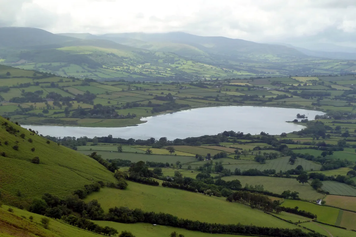
Llangorse Lake
Llangorse Lake — lake near Brecon, Powys, Wales, UK.
 📷 3
📷 3.jpg?width=1200) 📷 3
📷 3Natural landmarks · South Wales
Copper Flame
Copper Flame — Public artwork (installation) by Robin Campbell (designer), Martin Williams (sculptor), Andrew Rowe, Theo Grunewald (metal workers).
📷 3Natural landmarks · South Wales
Craig Cerrig-gleisiad
Craig Cerrig-gleisiad — mountain (629m) in Powys.
Frequently asked questions
- Where is Fan Fawr?
- Fan Fawr is in South Wales, United Kingdom (postcode LD3 8NL), in the parish of Glyn Tarell.
- What is Fan Fawr?
- Fan Fawr — mountain (734m) in Powys.
- How do I get to Fan Fawr?
- The nearest railway station is Torpantau, about 8.4 km away. Drivers can use postcode LD3 8NL.
- Is Fan Fawr free to visit?
- Yes, Fan Fawr is free to enter.
- How do I get to Fan Fawr?
- Drivers can navigate to postcode LD3 8NL. It sits within the Brecon, Radnor and Cwm Tawe parliamentary constituency.