
Mountains & hills · South Wales
Fan Nedd
In or near Ystradfellte.
Fan Nedd — Named summit at 663 m.

Wikimedia Commons contributors — see linked file page for photographer and licence licence

Plan your visit
- Typical visit
- 3 h–8 h
- Best time of year
- Late spring – early autumn (May–Oct)
- Free entry
- Dog-friendly
About
Fan Nedd is a named summit in the United Kingdom. Wikidata describes it as: "Named summit at 663 m.". Coordinates: 51.8536°, -3.5791°.
Photo gallery
From the Wikipedia article
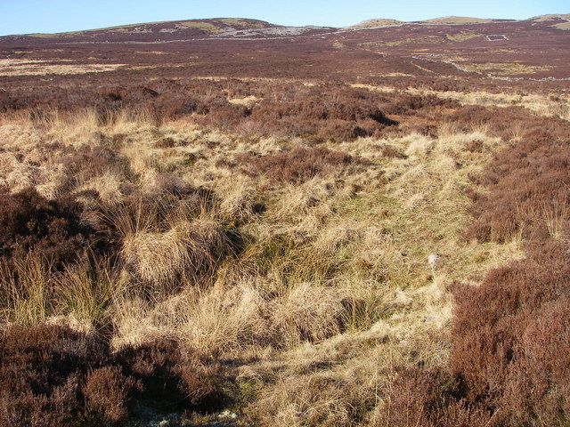
Fan Nedd is a mountain in the Fforest Fawr area of the Brecon Beacons National Park in Wales. In common with the rest of the Fforest Fawr uplands it is within the county of Powys. The hill is in the form of a broad flat-topped ridge whose summit lies at 663 m (2175 ft) and is crowned by a trig point. Its southern ridge is the least steep whereas its northern aspect is steep and craggy, having hosted a small glacier in the last ice age. A prominent modern cairn marks the northern end of the plateau whilst a couple of ancient cairns are to be found on its eastern slopes. The hill is drained to the west by a number of streams running into the Nedd Fechan river whilst to the east, rainwater spills into the upper reaches of the Afon Llia. Both ultimately drain via the River Neath to the sea at Swansea Bay. Its northern face overlooks the deep glacial hollow of Blaen Senni drained by the Afon Senni, a tributary of the River Usk. The hill presumably takes its name from that of the river.
Excerpt from Wikipedia under CC BY-SA 4.0. See the source article linked in Sources below.
Background
Visiting
The entire hill is designated as open country so walkers may wander at will though most prefer to follow a path which skirts the rim of the steep northern face between Bwlch y Duwynt to the west and the minor road between the villages of Ystradfellte and Heol Senni to the east.
Sourced from Wikipedia under CC BY-SA 4.0.
- Coordinates
- 51.8536, -3.5791
- Address
- Powys, Wales
Sources
- osm: n1537168632 (ODbL)
- wikipedia: Fan Nedd (CC BY-SA 4.0)
- commons: Fannnedd.JPG (CC BY-SA 4.0)
Other places nearby
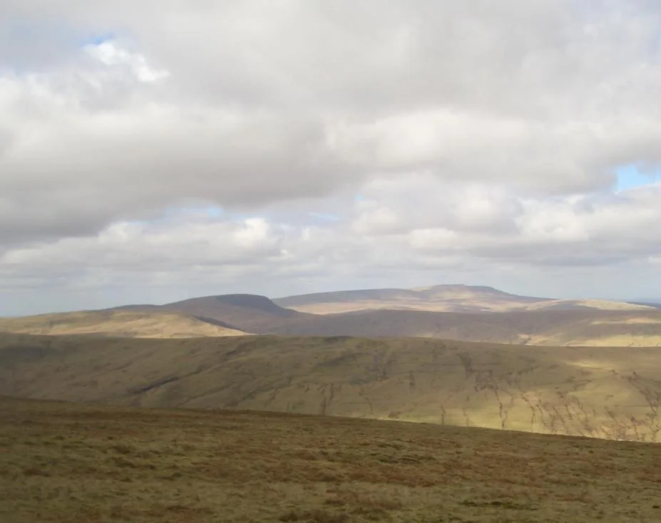
Fan Nedd
Natural landmarks · 0.1 km

Maen Llia
Archaeological sites · 1.3 km

Maen Llia
Archaeological sites · 1.3 km
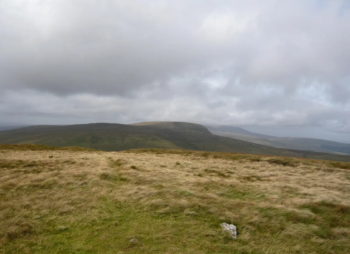
Fan Fraith
Mountains & hills · 2.4 km
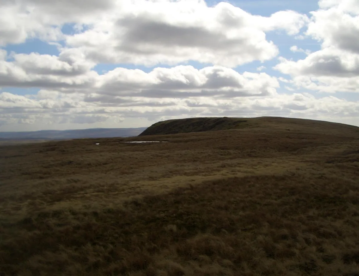
Fan Llia
Mountains & hills · 2.5 km
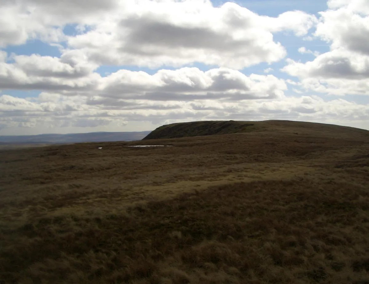
Fan Llia
Natural landmarks · 2.5 km

Maen Madoc
Archaeological sites · 2.7 km

Maen Madoc
Archaeological sites · 2.7 km

Fan Dringarth
Mountains & hills · 3.1 km
Pant Mawr Pot
Caves · 3.2 km

Pant Mawr
Caves · 3.2 km
Fan Bwlch Chwyth
Mountains & hills · 3.3 km
Nearby
📷 3📷 3Archaeological sites · South Wales
Maen Llia
Maen Llia — a archaeological in wales-south, United Kingdom.
📷 5📷 3📷 3📷 3Where to eat & stay near Fan Nedd
Places to stay
 📷 5
📷 5 📷 5
📷 5 📷 5
📷 5 📷 5
📷 5Hostels · South Wales
YHA Llwyn-y-celyn (YHA Brecon Beacons)
YHA Llwyn-y-celyn (YHA Brecon Beacons) — a hostel in wales south.
 📷 5
📷 5Campsites · South Wales
Brecon Beacons Camping & Caravan Park
Brecon Beacons Camping & Caravan Park — a campsite in wales south.
 📷 5
📷 5Places to eat & drink
 📷 7
📷 7 📷 5
📷 5Historic pubs · South Wales
White Hart
White Hart — Historic pub — listed building or notable heritage status.
 📷 5
📷 5 📷 5
📷 5Restaurants · South Wales
Sultan of Wales
Sultan of Wales — a restaurant in wales south.
More mountains in this region
 Flagship📷 3
Mountains & hills · South Wales
Milford Haven Waterway
Milford Haven Waterway — ria, or flooded valley, in Pembrokeshire, south-west Wales, UK.
 📷 5
📷 5Mountains & hills · South Wales
Ogof Ffynnon Ddu
Ogof Ffynnon Ddu — cave in the Upper Swansea Valley in South Wales.
 📷 3
📷 3 📷 3
📷 3Frequently asked questions
- Where is Fan Nedd?
- Fan Nedd is in South Wales, United Kingdom.
- What is Fan Nedd?
- Fan Nedd — Named summit at 663 m.
- How do I get to Fan Nedd?
- Its coordinates are 51.8536°, -3.5791°.
- Is Fan Nedd free to visit?
- Yes, Fan Nedd is free to enter.