
Historic houses · North West England
Dysart Buildings, Nantwich
In or near Aston juxta Mondrum.
Dysart Buildings, Nantwich — 18th-century terrace in Nantwich, England.

Wikimedia Commons contributors — see linked file page for photographer and licence licence

Plan your visit
- Typical visit
- 1 h–2 h
- Nearest railway station
- Nantwich · 0.4 km
- Family-friendly
- Limited wheelchair access
Getting there & planning your visit
To visit Dysart Buildings in Nantwich, you can reach the nearest railway station, Nantwich, which is 0.4 km away. The postcode for sat-nav is CW5 5DW. Accessibility is limited for wheelchair users.
About
Dysart Buildings, Nantwich is a historic house in the United Kingdom — typically a country seat, manor, or town house with notable architecture or history. Heritage designation: Grade II* listed building. Wikidata describes it as: "18th-century terrace in Nantwich, England". Coordinates: 53.0673°, -2.5186°.
Photo gallery
From the Wikipedia article
Dysart Buildings is a terrace of nine Georgian houses on Monks Lane in Nantwich, Cheshire, England. Dating from 1778 to 1779, the building is listed at grade II*. It is located at 1–9 Monks Lane (SJ6534252361), now a pedestrian walkway, opposite the former Congregational Chapel and immediately north east of St Mary's Church. Nikolaus Pevsner describes the building as "surprisingly metropolitan".
Excerpt from Wikipedia under CC BY-SA 4.0. See the source article linked in Sources below.
Background
History
The terrace was constructed in 1778–79 as a speculative project by Lionel Tollemache, the fifth Earl of Dysart, who inherited the land from an ancestor who married into the Wilbraham family in 1680. The Earl of Dysart was also patron of St Mary's Church in the adjacent parish of Acton.
Sourced from Wikipedia under CC BY-SA 4.0.
- Coordinates
- 53.0673, -2.5186
- District
- Cheshire East
- Parish
- Nantwich
- Postcode
- CW5 5DW
- Parliamentary constituency
- Crewe and Nantwich
- Nearest railway station
- Nantwich — 0.4 km
- Official site
- thegreatbritainguide.com
Sources
- wikidata: Q5319332 (CC0)
- wikipedia: Dysart Buildings, Nantwich (CC BY-SA 4.0)
- commons: Dysart Buildings Nantwich.jpg (CC BY-SA 4.0)
Other places nearby

Congregational Chapel, Nantwich
Historic houses · 0.1 km

Wesleyan Methodist Church, Nantwich
Historic churches · 0.1 km

Sweetbriar Hall
Historic houses · 0.1 km

Nantwich Market
Farmers’ markets · 0.1 km
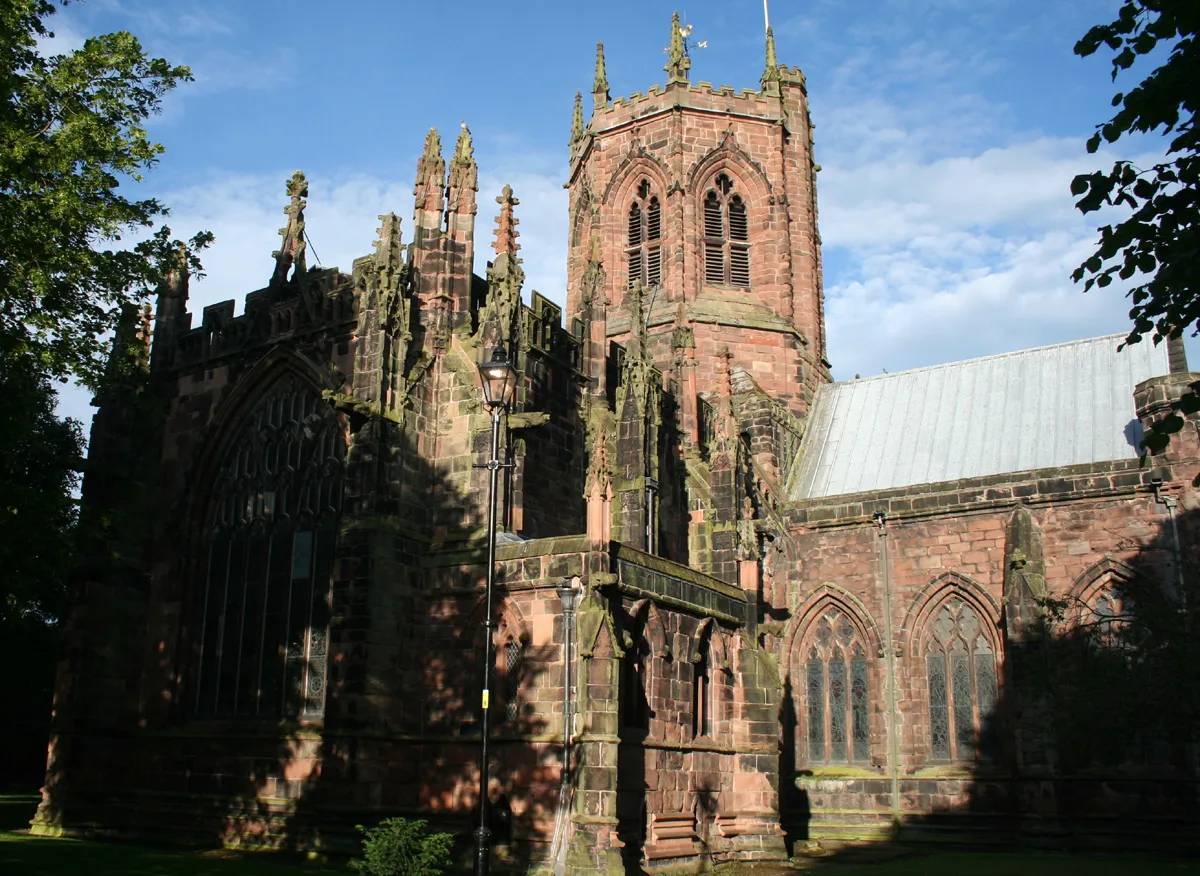
St Mary's Church, Nantwich
Historic churches · 0.1 km

11 Churchyard Side, Nantwich
Historic churches · 0.2 km

Lamb Hotel
Historic pubs · 0.2 km

Nantwich Millennium Clock
Public art & sculpture · 0.2 km

116 Hospital Street, Nantwich
Historic houses · 0.2 km
Nantwich War Memorial
Memorials & monuments · 0.2 km

Queen's Aid House
Historic houses · 0.2 km
1–3 Churchyard Side, Nantwich
Historic churches · 0.2 km
Nearby
📷 3Historic houses · North West England
Congregational Chapel, Nantwich
Congregational Chapel, Nantwich — grade II listed church in Nantwich, Cheshire East, Cheshire, England, UK.
📷 5Historic churches · North West England
Wesleyan Methodist Church, Nantwich
Wesleyan Methodist Church, Nantwich — a church in england-west-midlands, United Kingdom.
📷 3Historic houses · North West England
Sweetbriar Hall
Sweetbriar Hall — Grade II listed house in Nantwich, Cheshire, England, UK.
📷 5Farmers’ markets · North West England
Nantwich Market
Nantwich Market — a UK farmers' market in england west midlands.
📷 3Historic churches · North West England
St Mary's Church, Nantwich
St Mary's Church, Nantwich — church in Cheshire East, Cheshire, England, UK.
📷 4Historic churches · North West England
11 Churchyard Side, Nantwich
11 Churchyard Side, Nantwich — a Grade II*-listed church in england-west-midlands, United Kingdom.
Where to eat & stay near Dysart Buildings, Nantwich
Places to stay
 📷 5
📷 5Hotels · North West England
Crown Hotel, Bar & Grill
Crown Hotel, Bar & Grill — a hotel in england west midlands.
 📷 5
📷 5 📷 5
📷 5Hotels · North West England
The Waverley Hotel
The Waverley Hotel — a hotel in england west midlands.
 📷 5
📷 5 📷 5
📷 5
Campsites · North West England
Marbury Camp and Lodge
Marbury Camp and Lodge — a campsite in wales north.
Places to eat & drink
📷 5 📷 5
📷 5Restaurants · North West England
The Cheshire Cat
The Cheshire Cat — a restaurant in england west midlands.
 📷 5
📷 5 📷 5
📷 5Historic pubs · North West England
The Commercial Hotel
The Commercial Hotel in England North West, United Kingdom.
 📷 5
📷 5Historic pubs · North West England
Old Hall Hotel, Sandbach
Old Hall Hotel, Sandbach in England North West, United Kingdom.
 📷 7
📷 7Historic pubs · North West England
The Black Bear Public House
The Black Bear Public House in Wales North, United Kingdom.
More historic houses in this region
📷 3Historic houses · North West England
116 Hospital Street, Nantwich
116 Hospital Street, Nantwich — substantial townhouse in Nantwich, Cheshire, England, UK.
 📷 3
📷 3Historic houses · North West England
140–142 Hospital Street, Nantwich
140–142 Hospital Street, Nantwich — grade II listed building in Nantwich, Cheshire East, Cheshire, England, UK.
 📷 3
📷 3Historic houses · North West England
46 High Street, Nantwich
46 High Street, Nantwich — house in Nantwich, Cheshire, England, UK.
 📷 3
📷 3Historic houses · North West England
64, St Ann's Road
64, St Ann's Road — Grade II* listed house in Middlewich, Cheshire East, England, UK.
Frequently asked questions
- Where is Dysart Buildings, Nantwich?
- Dysart Buildings, Nantwich is in the West Midlands, United Kingdom (postcode CW5 5DW), in the parish of Nantwich.
- What is Dysart Buildings, Nantwich?
- Dysart Buildings, Nantwich — 18th-century terrace in Nantwich, England.
- How do I get to Dysart Buildings, Nantwich?
- The nearest railway station is Nantwich, about 0.4 km away. Drivers can use postcode CW5 5DW.
- Is Dysart Buildings, Nantwich a listed building?
- Dysart Buildings, Nantwich is officially recognised as Grade II* listed building listed.
- How do I get to Dysart Buildings, Nantwich?
- The nearest railway station is Nantwich, about 0.4 km away. Drivers can navigate to postcode CW5 5DW.