
Historic churches · North West England
11 Churchyard Side, Nantwich
In or near Aston juxta Mondrum.
11 Churchyard Side, Nantwich — a Grade II*-listed church in england-west-midlands, United Kingdom.

Alan Murray-Rust — CC BY-SA 2.0 via Wikimedia Commons licence

Plan your visit
- Typical visit
- 30 min–1 h
- Nearest railway station
- Nantwich · 0.5 km
- Free entry
- Wheelchair accessible
Getting there & planning your visit
To visit 11 Churchyard Side in Nantwich, the nearest railway station is Nantwich, located 0.5 km away. Entry is free, and the site is wheelchair accessible. The postcode for sat-nav is CW5 5DG.
About
11 Churchyard Side, Nantwich is a Grade II*-listed building in england-west-midlands, United Kingdom. Grade II* status is conferred by Historic England (or Cadw, Historic Environment Scotland or NIEA equivalents) on buildings of exceptional national interest. See the linked Wikipedia article for full historical and architectural details.
Photo gallery
From the Wikipedia article
11 Churchyard Side is a Victorian building in Gothic Revival style, in Nantwich, Cheshire, England. It stands on the town square, opposite the parish church (at SJ6516052369). Dating from 1876, the building was designed by local architect Thomas Bower as a branch of the Midland Bank, and later became a branch of Barclays. It is listed at grade II. 11 Churchyard Side is one of three bank buildings in the town dating from the Victorian era which are listed; the others are the former District Bank, designed by Alfred Waterhouse, also on Churchyard Side, and the former Savings Bank on Welsh Row.
Excerpt from Wikipedia under CC BY-SA 4.0. See the source article linked in Sources below.
Background
History
The present building was constructed in 1876 as a branch of the Midland Bank, to the design of Nantwich architect Thomas Bower. It was on the site of an earlier Midland Bank building, which employed a manager and seven clerks in 1871. Once part of the cemetery of the parish church, the site had previously housed a painter and a butcher's premises. The Midland Bank is no longer listed in directories from 1892; Barclays Bank has occupied the building since 1939.
Description
The bank is a terraced ashlar building in Gothic Revival style, with two storeys and seven bays. A band between ground and first floor is decorated with rectangular coffering, which matches the dentilled cornice under the eaves. There are also two plain stone bands, one on the ground floor beneath the windows and the other on the first floor at the level of the window heads. The main entrance is at the left (west) side. It is flanked by two sets of paired orange columns and headed by a pointed arch. Above is a V-shaped stone moulding with two carved bosses and an intricately carved quatrefoil containing a dragon and foliage. The word "bank" is incised above the entrance. There are two stone…
Sourced from Wikipedia under CC BY-SA 4.0.
- Coordinates
- 53.0674, -2.5214
- District
- Cheshire East
- Parish
- Nantwich
- Postcode
- CW5 5DG
- Parliamentary constituency
- Crewe and Nantwich
- Established
- 1876
- Nearest railway station
- Nantwich — 0.5 km
- Opening
- Tu 09:00-13:00; Th 09:00-15:00; Sa 09:00-16:00
Sources
- wikidata: Q4547756 (CC0)
- wikipedia: 11 Churchyard Side, Nantwich (CC BY-SA 4.0)
Other places nearby
1–3 Churchyard Side, Nantwich
Historic churches · 0.0 km
Nantwich War Memorial
Memorials & monuments · 0.0 km

Nantwich Market
Farmers’ markets · 0.1 km
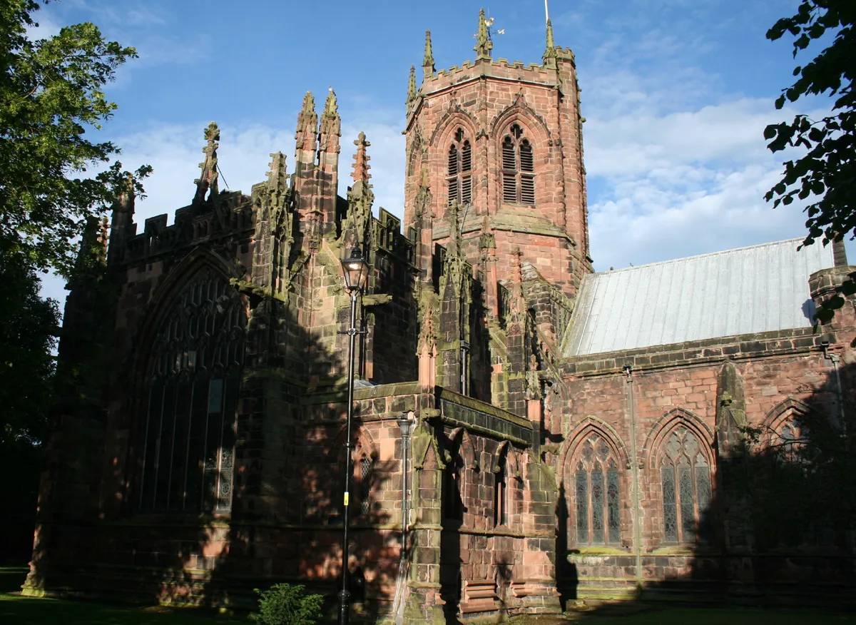
St Mary's Church, Nantwich
Historic churches · 0.1 km

46 High Street, Nantwich
Historic houses · 0.1 km

Queen's Aid House
Historic houses · 0.1 km

Nantwich
Castles · 0.1 km

Crown Hotel, Bar & Grill
Hotels · 0.1 km

Lamb Hotel
Historic pubs · 0.1 km

20 High Street, Nantwich
Historic houses · 0.1 km

Cosy Super Cinema
Theatres · 0.1 km

1–5 Pillory Street, Nantwich
Gardens · 0.1 km
Nearby
📷 4Historic churches · North West England
1–3 Churchyard Side, Nantwich
1–3 Churchyard Side, Nantwich — a Grade II*-listed church in england-west-midlands, United Kingdom.
📷 3Memorials & monuments · North West England
Nantwich War Memorial
Nantwich War Memorial — Grade II listed building-listed memorial in england-west-midlands, United Kingdom.
📷 5Farmers’ markets · North West England
Nantwich Market
Nantwich Market — a UK farmers' market in england west midlands.
📷 3Historic churches · North West England
St Mary's Church, Nantwich
St Mary's Church, Nantwich — church in Cheshire East, Cheshire, England, UK.
📷 3Historic houses · North West England
46 High Street, Nantwich
46 High Street, Nantwich — house in Nantwich, Cheshire, England, UK.
📷 3Historic houses · North West England
Queen's Aid House
Queen's Aid House — Grade II listed house in Nantwich, Cheshire, England, UK.
Where to eat & stay near 11 Churchyard Side, Nantwich
Places to stay
📷 5Hotels · North West England
Crown Hotel, Bar & Grill
Crown Hotel, Bar & Grill — a hotel in england west midlands.
 📷 5
📷 5 📷 5
📷 5Hotels · North West England
The Waverley Hotel
The Waverley Hotel — a hotel in england west midlands.
 📷 5
📷 5 📷 5
📷 5
Campsites · North West England
Marbury Camp and Lodge
Marbury Camp and Lodge — a campsite in wales north.
Places to eat & drink
📷 5 📷 5
📷 5Restaurants · North West England
The Cheshire Cat
The Cheshire Cat — a restaurant in england west midlands.
 📷 5
📷 5 📷 5
📷 5Historic pubs · North West England
The Commercial Hotel
The Commercial Hotel in England North West, United Kingdom.
 📷 5
📷 5Historic pubs · North West England
Old Hall Hotel, Sandbach
Old Hall Hotel, Sandbach in England North West, United Kingdom.
 📷 7
📷 7Historic pubs · North West England
The Black Bear Public House
The Black Bear Public House in Wales North, United Kingdom.
Other works by Thomas Bower
📷 5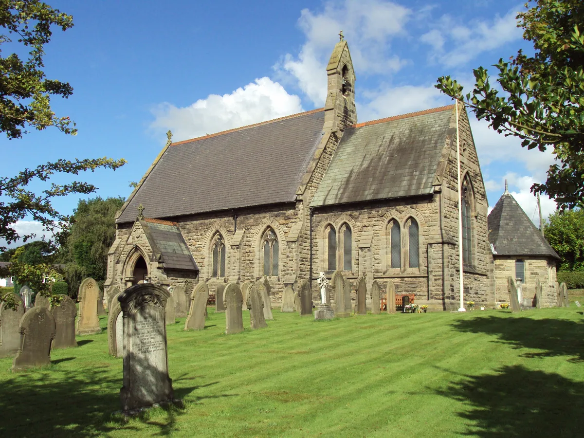 📷 3
📷 3Historic churches · North West England
St Philip's Church, Kelsall
St Philip's Church, Kelsall — grade II listed church in Kelsall, Cheshire West and Chester, UK.
More places in this region
 📷 3
📷 3Historic churches · North West England
All Saints Chapel, Somerford
All Saints Chapel, Somerford — church in Cheshire East, Cheshire, England, UK.
 📷 3
📷 3Historic churches · North West England
All Saints Church, Church Lawton
All Saints Church, Church Lawton — Grade II* listed church in Church Lawton, Cheshire East, Cheshire, England, UK.
 📷 3
📷 3Historic churches · North West England
All Saints Church, Scholar Green
All Saints Church, Scholar Green — church in Cheshire East, Cheshire, England, UK.
 📷 3
📷 3Historic churches · North West England
All Saints Church, Siddington
All Saints Church, Siddington — church in Cheshire East, Cheshire, England, UK.
Frequently asked questions
- Where is 11 Churchyard Side, Nantwich?
- 11 Churchyard Side, Nantwich is in the West Midlands, United Kingdom (postcode CW5 5DG), in the parish of Nantwich.
- What is 11 Churchyard Side, Nantwich?
- 11 Churchyard Side, Nantwich — a Grade II*-listed church in england-west-midlands, United Kingdom.
- How do I get to 11 Churchyard Side, Nantwich?
- The nearest railway station is Nantwich, about 0.5 km away. Drivers can use postcode CW5 5DG.
- When was 11 Churchyard Side, Nantwich built?
- Built or established in 1876. Designed by Thomas Bower.
- Is 11 Churchyard Side, Nantwich a listed building?
- 11 Churchyard Side, Nantwich is officially recognised as Grade II* listed.
- Is 11 Churchyard Side, Nantwich free to visit?
- Yes, 11 Churchyard Side, Nantwich is free to enter.
- How do I get to 11 Churchyard Side, Nantwich?
- The nearest railway station is Nantwich, about 0.5 km away. Drivers can navigate to postcode CW5 5DG.