
Historic houses · North West England
Crewe Almshouses, Nantwich
In or near Aston juxta Mondrum.
Crewe Almshouses, Nantwich — a Grade II*-listed historic house in england-west-midlands, United Kingdom.

Jaggery — CC BY-SA 2.0 via Wikimedia Commons licence

Plan your visit
- Typical visit
- 1 h–2 h
- Nearest railway station
- Nantwich · 0.6 km
- Family-friendly
- Limited wheelchair access
Getting there & planning your visit
To visit Crewe Almshouses in Nantwich, the nearest railway station is Nantwich, located 0.6 km away. The postcode for sat-nav is CW5 5LZ. Accessibility is limited for wheelchair users.
About
Crewe Almshouses, Nantwich is a Grade II*-listed building in england-west-midlands, United Kingdom. Grade II* status is conferred by Historic England (or Cadw, Historic Environment Scotland or NIEA equivalents) on buildings of exceptional national interest. See the linked Wikipedia article for full historical and architectural details.
Photo gallery
From the Wikipedia article
Crewe Almshouses or Crewe's Almshouses is a terrace of seven former almshouses at the end of Beam Street (SJ6548152562) in Nantwich, Cheshire, England. The present building was erected in 1767 by John Crewe, later first Baron Crewe, and is listed at grade II. It has a central projecting section topped by a pediment, with a stone doorway flanked with Tuscan columns. The present almshouses stand on the site of a 16th-century building, originally the mansion of the Mainwaring family and later the town's House of Correction and workhouse. By the 1960s, the Crewe Almshouses were in a poor condition, and the building was threatened with demolition. It was saved by a plan which involved moving the Wright's Almshouses from London Road to stand adjacent to the Crewe Almshouses, converting the Crewe Almshouses into flats for the elderly, and constructing modern facilities shared by both former almshouses. The new complex was completed in 1975, and Crewe Almshouses remain in use as sheltered flats for the elderly.
Excerpt from Wikipedia under CC BY-SA 4.0. See the source article linked in Sources below.
Background
History
The site has been identified by local historian James Hall as the location of the mansion of the Mainwaring family at the end of Beam Street, which was described by William Webb in 1622 or 1623 as "the fine house of the Mainwarings", one of the five principal houses of the town. The Mainwaring family had settled in Nantwich in the late 15th century, and by the late 16th century were among the wealthiest families of the town. The house was described in Roger Mainwaring's will of 1590 as "my chief mansion house at the townsende of Namptwiche w<sup>th</sup> all the buildings and gardens thereunto app'teyninge". In 1644, on the death of Lady Margaret Norton, the building passed to the Dodd…
Description
Crewe Almshouses is a terrace of seven two-storey houses totalling thirteen bays, in red brick under a slate roof. It has a central projecting section of three bays with a circular stone decoration, which is topped with a pediment. The main entrance door is in the centre of the three-bay section; it has a stone surround with a semi-circular fanlight and decorative keystone above, and is flanked with Tuscan columns supporting a pediment, narrow flanking windows and pilasters. Above the entrance door is an inscribed stone tablet framed with decorative stonework including a keystone motif above and two corbels below. The inscription reads: "These Almshouses were erected in the Year of our Lord…
Sourced from Wikipedia under CC BY-SA 4.0.
- Coordinates
- 53.0692, -2.5166
- District
- Cheshire East
- Parish
- Nantwich
- Postcode
- CW5 5LZ
- Parliamentary constituency
- Crewe and Nantwich
- Established
- 1767
- Nearest railway station
- Nantwich — 0.6 km
Sources
- wikidata: Q5184818 (CC0)
- wikipedia: Crewe Almshouses, Nantwich (CC BY-SA 4.0)
Other places nearby

Dysart Buildings, Nantwich
Historic houses · 0.2 km

Congregational Chapel, Nantwich
Historic houses · 0.3 km

Nantwich Market
Farmers’ markets · 0.3 km
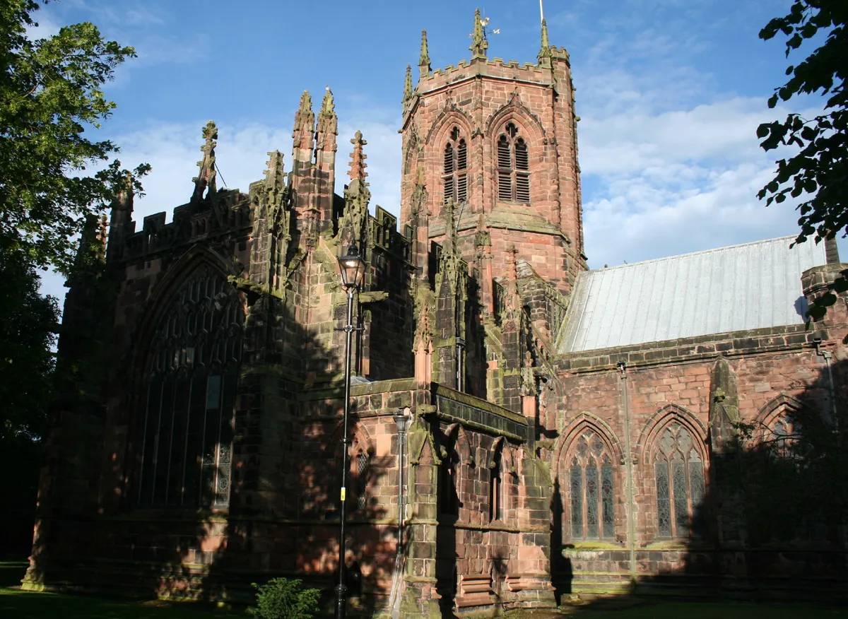
St Mary's Church, Nantwich
Historic churches · 0.4 km

Sweetbriar Hall
Historic houses · 0.4 km

Wesleyan Methodist Church, Nantwich
Historic churches · 0.4 km

11 Churchyard Side, Nantwich
Historic churches · 0.4 km

116 Hospital Street, Nantwich
Historic houses · 0.4 km

The Rookery, Nantwich
Historic houses · 0.4 km

140–142 Hospital Street, Nantwich
Historic houses · 0.4 km
1–3 Churchyard Side, Nantwich
Historic churches · 0.4 km
Nantwich War Memorial
Memorials & monuments · 0.4 km
Nearby
📷 3Historic houses · North West England
Dysart Buildings, Nantwich
Dysart Buildings, Nantwich — 18th-century terrace in Nantwich, England.
📷 3Historic houses · North West England
Congregational Chapel, Nantwich
Congregational Chapel, Nantwich — grade II listed church in Nantwich, Cheshire East, Cheshire, England, UK.
📷 5Farmers’ markets · North West England
Nantwich Market
Nantwich Market — a UK farmers' market in england west midlands.
📷 3Historic churches · North West England
St Mary's Church, Nantwich
St Mary's Church, Nantwich — church in Cheshire East, Cheshire, England, UK.
📷 3Historic houses · North West England
Sweetbriar Hall
Sweetbriar Hall — Grade II listed house in Nantwich, Cheshire, England, UK.
📷 5Historic churches · North West England
Wesleyan Methodist Church, Nantwich
Wesleyan Methodist Church, Nantwich — a church in england-west-midlands, United Kingdom.
Where to eat & stay near Crewe Almshouses, Nantwich
Places to stay
 📷 5
📷 5Hotels · North West England
Crown Hotel, Bar & Grill
Crown Hotel, Bar & Grill — a hotel in england west midlands.
 📷 5
📷 5 📷 5
📷 5Hotels · North West England
The Waverley Hotel
The Waverley Hotel — a hotel in england west midlands.
 📷 5
📷 5 📷 5
📷 5
Campsites · North West England
Marbury Camp and Lodge
Marbury Camp and Lodge — a campsite in wales north.
Places to eat & drink
 📷 5
📷 5 📷 5
📷 5Restaurants · North West England
The Cheshire Cat
The Cheshire Cat — a restaurant in england west midlands.
 📷 5
📷 5 📷 5
📷 5Historic pubs · North West England
The Commercial Hotel
The Commercial Hotel in England North West, United Kingdom.
 📷 5
📷 5Historic pubs · North West England
Old Hall Hotel, Sandbach
Old Hall Hotel, Sandbach in England North West, United Kingdom.
 📷 7
📷 7Historic pubs · North West England
The Black Bear Public House
The Black Bear Public House in Wales North, United Kingdom.
More historic houses in this region
📷 3Historic houses · North West England
116 Hospital Street, Nantwich
116 Hospital Street, Nantwich — substantial townhouse in Nantwich, Cheshire, England, UK.
📷 3Historic houses · North West England
140–142 Hospital Street, Nantwich
140–142 Hospital Street, Nantwich — grade II listed building in Nantwich, Cheshire East, Cheshire, England, UK.
 📷 3
📷 3Historic houses · North West England
46 High Street, Nantwich
46 High Street, Nantwich — house in Nantwich, Cheshire, England, UK.
 📷 3
📷 3Historic houses · North West England
64, St Ann's Road
64, St Ann's Road — Grade II* listed house in Middlewich, Cheshire East, England, UK.
Frequently asked questions
- Where is Crewe Almshouses, Nantwich?
- Crewe Almshouses, Nantwich is in the West Midlands, United Kingdom (postcode CW5 5LZ), in the parish of Nantwich.
- What is Crewe Almshouses, Nantwich?
- Crewe Almshouses, Nantwich — a Grade II*-listed historic house in england-west-midlands, United Kingdom.
- How do I get to Crewe Almshouses, Nantwich?
- The nearest railway station is Nantwich, about 0.6 km away. Drivers can use postcode CW5 5LZ.
- When was Crewe Almshouses, Nantwich built?
- Built or established in 1767.
- Who owns Crewe Almshouses, Nantwich?
- Crewe Almshouses, Nantwich is owned by | landlord =.
- Is Crewe Almshouses, Nantwich a listed building?
- Crewe Almshouses, Nantwich is officially recognised as Grade II* listed.
- How do I get to Crewe Almshouses, Nantwich?
- The nearest railway station is Nantwich, about 0.6 km away. Drivers can navigate to postcode CW5 5LZ.