
Historic churches · South East England
Church of St Peter and St Paul, Trottiscliffe
In or near Trottiscliffe.
Church of St Peter and St Paul, Trottiscliffe — Grade I listed building-listed church in england-london, United Kingdom.

Michael Garlick — CC BY-SA 2.0 via Wikimedia Commons licence

Plan your visit
- Typical visit
- 30 min–1 h
- Nearest railway station
- Borough Green & Wrotham · 4.9 km
- Free entry
Getting there & planning your visit
The Church of St Peter and St Paul in Trottiscliffe is located at postcode ME19 5EE. The nearest railway station is Borough Green & Wrotham, which is 4.9 km away. Entry to the church is free.
About
Church of St Peter and St Paul, Trottiscliffe is a Grade I listed building-listed church in england-london, United Kingdom, registered on the National Heritage List for England (NHLE entry 1236191). Listed status protects buildings and structures of special architectural or historic interest. See the linked Wikipedia article for further details.
Photo gallery
Heritage listing
The Church of St Peter and St Paul is an active Anglican parish church in Church Lane, Trottiscliffe, in the Borough of Tonbridge and Malling, Kent, England. It is situated below the North Downs on the lowest levels of the Lower Chalk, above a spring on the Gault clay top at approximately 280 feet above ordnance datum. The church dates from the late 11th century and is dedicated to saints Peter and Paul. It is a Pilgrim Church as it is located near to the Pilgrims' Way, the historical route purportedly taken by pilgrims from Winchester in Hampshire, to the shrine of Thomas Becket at Canterbury in Kent.
From the Historic England List Entry under OGL v3.
Protected designations
- Site of Special Scientific Interest: Halling to Trottiscliffe Escarpment SSSI
- National Nature Reserve: NORTH KENT WOODS AND DOWNS
- Area of Outstanding Natural Beauty: Kent Downs
Designations sourced from Natural England open data under OGL v3.
From the Wikipedia article
The Church of St Peter and St Paul is an active Anglican parish church in Church Lane, Trottiscliffe, in the Borough of Tonbridge and Malling, Kent, England. It is situated below the North Downs on the lowest levels of the Lower Chalk, above a spring on the Gault clay top at approximately 280 feet above ordnance datum. The church dates from the late 11th century and is dedicated to saints Peter and Paul. It is a Pilgrim Church as it is located near to the Pilgrims' Way, the historical route purportedly taken by pilgrims from Winchester in Hampshire, to the shrine of Thomas Becket at Canterbury in Kent. The church has been recorded in the National Heritage List for England as a designated Grade I listed building since 1959 and is also notable for its large pulpit, which stood in Westminster Abbey until 1820.
Excerpt from Wikipedia under CC BY-SA 4.0. See the source article linked in Sources below.
Background
Architecture
St Peter and St Paul is an early Norman church that consists of a simple tower-nave-chancel layout – a rectangular building with an added tower that covers an area of 217 square metres.
Visiting
Administratively, St Peter and St Paul is a constituent of a united benefice with three neighbouring parish churches, forming the BART Group. BART is an acronym for the four villages in which the churches are situated: The church is in the deanery of Malling, the archdeaconry of Tonbridge, the Diocese of Rochester and the Province of Canterbury. It continues to be an active parish church, holding a communion service on the second Sunday of each month, a morning worship service on the fourth Sunday of each month and is open daily for visitors. St Peter and St Paul is currently in an interregnum following the retirement of Reverend Dr. Linda Shuker.
Sourced from Wikipedia under CC BY-SA 4.0.
- Coordinates
- 51.3202, 0.3612
- County
- Kent
- District
- Tonbridge and Malling
- Parish
- Trottiscliffe
- Postcode
- ME19 5EE
- Parliamentary constituency
- Tonbridge
- Established
- 1080
- Nearest railway station
- Borough Green & Wrotham — 4.9 km
- Official site
- www.bartcombinedbenefice.org.uk
Sources
- wikidata: Q17530266 (CC0)
- wikipedia: Church of St Peter and St Paul, Trottiscliffe (CC BY-SA 4.0)
Other places nearby

Trottiscliffe
Towns & cities · 0.0 km

Trottiscliffe
Villages · 0.7 km

Coldrum Long Barrow
Museums · 0.8 km

Vigo Village
Other places · 1.3 km
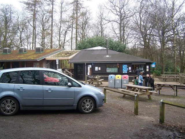
Trosley Country Park
Parks · 1.5 km

Chestnuts Long Barrow
Burial mounds & barrows · 1.5 km
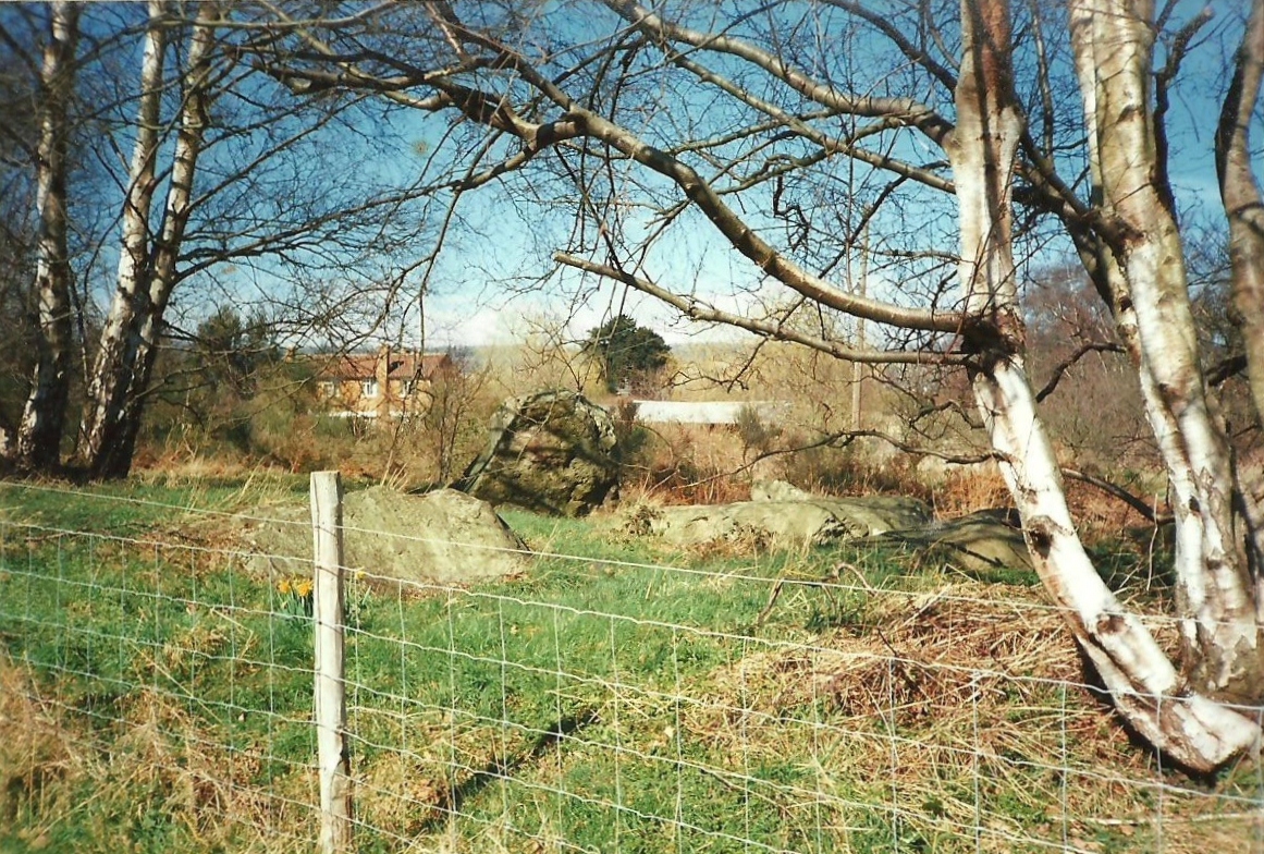
Chestnuts Long Barrow
Archaeological sites · 1.5 km

Linderwood Manor
Manor houses · 1.5 km

Addington Long Barrow
Burial mounds & barrows · 1.6 km
Addington Long Barrow
Archaeological sites · 1.6 km

Hemsley Conservation Centre
Zoos & aquariums · 1.8 km

Obelisk 20 Yards To East Of Addington Church
Forts · 1.8 km
Nearby
📷 5Towns & cities · South East England
Trottiscliffe
Trottiscliffe — village and civil parish in Kent, United Kingdom.
📷 5📷 5Museums · South East England
Coldrum Long Barrow
Coldrum Long Barrow — neolithic chambered long barrow near Trottiscliffe, Kent, England, UK.
📷 5Other places · South East England
Vigo Village
Vigo Village — a other in england-london, United Kingdom.
📷 5Parks · South East England
Trosley Country Park
Trosley Country Park — park in United Kingdom.
📷 5Burial mounds & barrows · South East England
Chestnuts Long Barrow
Chestnuts Long Barrow — a burial mound in england-london, United Kingdom.
Where to eat & stay near Church of St Peter and St Paul, Trottiscliffe
Places to stay
 📷 5
📷 5Campsites · South East England
Badgells Wood Camping
Badgells Wood Camping — a campsite in england london.
 📷 5
📷 5Campsites · South East England
Gate House Wood Touring Park
Gate House Wood Touring Park — a campsite in england london.
 📷 5
📷 5Campsites · South East England
Hopehill Scout Campsite
Hopehill Scout Campsite — a campsite in england london.
 📷 7
📷 7 📷 5
📷 5 📷 5
📷 5Campsites · South East England
Ashmere Farm Certified Campsite
Ashmere Farm Certified Campsite — a campsite in england london.
Places to eat & drink
 📷 5
📷 5 📷 5
📷 5Restaurants · South East England
Pad Thai Restaurant
Pad Thai Restaurant — a restaurant in england london.
 📷 5
📷 5Historic pubs · South East England
The Joiners Arms Public House
The Joiners Arms Public House in England South East, United Kingdom.
 📷 5
📷 5Historic pubs · South East England
Five Pointed Star Public House
Five Pointed Star Public House in England South East, United Kingdom.
 📷 7
📷 7 📷 7
📷 7Historic pubs · South East England
The King And Queen Public House
The King And Queen Public House in England South East, United Kingdom.
More places in this region
 📷 5
📷 5Historic churches · South East England
All Saints Church, Frindsbury
All Saints Church, Frindsbury — church in Medway, UK.
 📷 5
📷 5Historic churches · South East England
All Saints Church, Maidstone
All Saints Church, Maidstone — parish church associated with the Archbishop's Palace, Maidstone, Kent, England, UK.
 📷 5
📷 5Historic churches · South East England
All Saints Church, West Farleigh
All Saints Church, West Farleigh — Grade I listed church in West Farleigh, Maidstone, Kent, England, UK.
 📷 5
📷 5Historic churches · South East England
All Souls' Church, Sutton Green
All Souls' Church, Sutton Green — church in Guildford, England.
Frequently asked questions
- Where is Church of St Peter and St Paul, Trottiscliffe?
- Church of St Peter and St Paul, Trottiscliffe is in Kent, London, United Kingdom (postcode ME19 5EE), in the parish of Trottiscliffe.
- What is Church of St Peter and St Paul, Trottiscliffe?
- Church of St Peter and St Paul, Trottiscliffe — Grade I listed building-listed church in england-london, United Kingdom.
- How do I get to Church of St Peter and St Paul, Trottiscliffe?
- The nearest railway station is Borough Green & Wrotham, about 4.9 km away. Drivers can use postcode ME19 5EE.
- When was Church of St Peter and St Paul, Trottiscliffe built?
- Built or established in 1080.
- Who owns Church of St Peter and St Paul, Trottiscliffe?
- Church of St Peter and St Paul, Trottiscliffe is owned by |designation1=Grade I.
- Is Church of St Peter and St Paul, Trottiscliffe a listed building?
- Church of St Peter and St Paul, Trottiscliffe is officially recognised as Grade I listed building listed.
- Is Church of St Peter and St Paul, Trottiscliffe a protected site?
- Yes — Church of St Peter and St Paul, Trottiscliffe is part of the Halling to Trottiscliffe Escarpment SSSI Site of Special Scientific Interest and the NORTH KENT WOODS AND DOWNS National Nature Reserve.
- Is Church of St Peter and St Paul, Trottiscliffe free to visit?
- Yes, Church of St Peter and St Paul, Trottiscliffe is free to enter.