
Historic pubs · South East England
The Joiners Arms Public House
In or near Mereworth.
The Joiners Arms Public House in England South East, United Kingdom.

David Anstiss — CC BY-SA 2.0 via Wikimedia Commons licence

Plan your visit
- Typical visit
- 1 h–2 h
- Nearest railway station
- West Malling · 0.8 km
About
The Joiners Arms Public House is a historic pub in England South East, United Kingdom. Britain's pubs are a cornerstone of its tourist appeal — from medieval coaching inns and timber-framed alehouses to grand Victorian gin palaces — and many are listed buildings serving real ale and traditional food.
Photo gallery
See it from the streetimagery from 2025
Imagery © Mapillary contributors, CC BY-SA 4.0
Protected designations
- Area of Outstanding Natural Beauty: Kent Downs
Designations sourced from Natural England open data under OGL v3.
Place summary
The Joiners Arms Public House is located in West Malling, Kent, within the South-East England region. This pub is situated in an Area of Outstanding Natural Beauty (AONB) in the Kent Downs. Visitors can expect a traditional pub atmosphere, serving drinks and food typical of the genre. The setting offers a scenic backdrop, ideal for those exploring the surrounding countryside.
AI-generated from the structured facts on this page (operator, designation, listing, era). Not a substitute for visiting.
- Coordinates
- 51.2944, 0.4085
- County
- Kent
- District
- Tonbridge and Malling
- Parish
- West Malling
- Postcode
- ME19 6LU
- Parliamentary constituency
- Maidstone and Malling
- Nearest railway station
- West Malling — 0.8 km
Sources
Other places nearby

The Ancient House
Historic houses · 0.0 km

Five Pointed Star Public House
Historic pubs · 0.1 km

The Swan
Restaurants · 0.1 km

Imperial Dynasty
Restaurants · 0.1 km

Pad Thai Restaurant
Restaurants · 0.2 km

St Mary's Abbey: a Benedictine abbey north and east of Water Lane
Cathedrals · 0.2 km

St Mary's Abbey Tower To Original Abbey
Memorials & monuments · 0.3 km

West Malling War Memorial
Memorials & monuments · 0.3 km

Malling Abbey
Abbeys & priories · 0.3 km
.jpg?width=1200)
Brome House
Historic houses · 0.3 km

Went House
Historic houses · 0.3 km
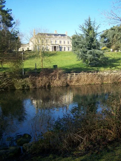
Douce's Manor
Stately homes · 0.5 km
Nearby
📷 5Historic houses · South East England
The Ancient House
The Ancient House — Grade I listed house in West Malling, Tonbridge and Malling, Kent, England, UK.
📷 5Historic pubs · South East England
Five Pointed Star Public House
Five Pointed Star Public House in England South East, United Kingdom.
📷 7📷 5Restaurants · South East England
Imperial Dynasty
Imperial Dynasty — a restaurant in england london.
📷 5Restaurants · South East England
Pad Thai Restaurant
Pad Thai Restaurant — a restaurant in england london.
★ Iconic📷 5Cathedrals · South East England
St Mary's Abbey: a Benedictine abbey north and east of Water Lane
St Mary's Abbey: a Benedictine abbey north and east of Water Lane is a cathedral in the United Kingdom.
Where to eat & stay near The Joiners Arms Public House
Places to stay
 📷 5
📷 5Campsites · South East England
Gate House Wood Touring Park
Gate House Wood Touring Park — a campsite in england london.
 📷 5
📷 5Campsites · South East England
Badgells Wood Camping
Badgells Wood Camping — a campsite in england london.
 📷 5
📷 5 📷 7
📷 7 📷 5
📷 5 📷 5
📷 5Campsites · South East England
Kits Coty Glamping
Kits Coty Glamping — a campsite in england london.
Places to eat & drink
📷 5Historic pubs · South East England
Five Pointed Star Public House
Five Pointed Star Public House in England South East, United Kingdom.
📷 7📷 5Restaurants · South East England
Imperial Dynasty
Imperial Dynasty — a restaurant in england london.
📷 5Restaurants · South East England
Pad Thai Restaurant
Pad Thai Restaurant — a restaurant in england london.
 📷 7
📷 7Historic pubs · South East England
The King And Queen Public House
The King And Queen Public House in England South East, United Kingdom.
 📷 5
📷 5More historic pubs in this region
 📷 5
📷 5Historic pubs · South East England
The Alexandra & Hotel
The Alexandra & Hotel — Historic pub — listed building or notable heritage status.
 📷 6
📷 6Historic pubs · South East England
The Prince of Wales
The Prince of Wales — Historic pub — listed building or notable heritage status.
 📷 7
📷 7Historic pubs · South East England
The Southern Belle
The Southern Belle — Historic pub — listed building or notable heritage status.
 📷 5
📷 5Historic pubs · South East England
White Lion Hotel
White Lion Hotel — Historic pub — listed building or notable heritage status.
Frequently asked questions
- Where is The Joiners Arms Public House?
- The Joiners Arms Public House is in Kent, South-East England, United Kingdom (postcode ME19 6LU), in the parish of West Malling.
- What is The Joiners Arms Public House?
- The Joiners Arms Public House in England South East, United Kingdom.
- How do I get to The Joiners Arms Public House?
- The nearest railway station is West Malling, about 0.8 km away. The nearest town is Mereworth. Drivers can use postcode ME19 6LU.
- Is The Joiners Arms Public House a protected site?
- Yes — The Joiners Arms Public House is part of the Kent Downs National Landscape (AONB).
- How do I get to The Joiners Arms Public House?
- The nearest railway station is West Malling, about 0.8 km away. Drivers can navigate to postcode ME19 6LU.