
Chapels · Yorkshire & the Humber
Chapel Range
In or near Middleton Tyas.
Chapel Range — chapel in Aske, North Yorkshire, England, UK.

Wikimedia Commons contributors — see linked file page for photographer and licence licence

Plan your visit
- Typical visit
- 20 min–45 min
- Free entry
About
Chapel Range is a chapel in the United Kingdom. Heritage designation: Grade II* listed building. Wikidata describes it as: "chapel in Aske, North Yorkshire, England, UK". Coordinates: 54.4261°, -1.7275°.
Photo gallery
Place summary
Chapel Range is a Grade II* listed chapel located in Aske, Yorkshire. This designation highlights its architectural and historical significance within the region.
AI-generated from the structured facts on this page (operator, designation, listing, era). Not a substitute for visiting.
- Coordinates
- 54.4261, -1.7275
- District
- North Yorkshire
- Parish
- Aske
- Postcode
- DL10 5HJ
- Parliamentary constituency
- Richmond and Northallerton
Sources
- wikidata: Q17536823 (CC0)
- commons: Aske Hall old stables.jpg (CC BY-SA 4.0)
Other places nearby

Aske Hall
Reservoirs & lochs · 0.0 km

Old Water Tower
Memorials & monuments · 0.1 km
Aske
Reservoirs & lochs · 0.1 km
Aske Bridge
Historic bridges · 0.5 km

Olliver Ducket
Follies · 1.4 km

Gillingwood Hall
Historic houses · 1.5 km

Gilling
Villages · 1.7 km

Richmond Barracks, North Yorkshire
Forts · 1.7 km

Gilling West
Historic houses · 1.7 km

Church of St Agatha, Gilling West
Historic churches · 1.8 km

Gilling Bridge Over Gilling Beck
Historic bridges · 1.9 km

Richmond Racecourse
Racecourses · 1.9 km
Nearby
📷 5Reservoirs & lochs · North East England
Aske Hall
Aske Hall in England North East, United Kingdom.
📷 5Memorials & monuments · Yorkshire & the Humber
Old Water Tower
Old Water Tower — a water tower in england-yorkshire, United Kingdom.
📷 5📷 3Historic bridges · Yorkshire & the Humber
Aske Bridge
Aske Bridge — Grade II listed building-listed bridge in england-yorkshire, United Kingdom.
📷 3📷 3Historic houses · North East England
Gillingwood Hall
Gillingwood Hall in England North East, United Kingdom.
Where to eat & stay near Chapel Range
Places to stay
 📷 5
📷 5Hotels · Yorkshire & the Humber
The Turf Hotel
The Turf Hotel — a hotel in england yorkshire.
 📷 7
📷 7 📷 5
📷 5Hotels · Yorkshire & the Humber
Black Lion Hotel
Black Lion Hotel — a hotel in england yorkshire.
 📷 5
📷 5 📷 5
📷 5Caravan parks · Yorkshire & the Humber
Richmond Caravan Park
Richmond Caravan Park — a caravan park in england yorkshire.
 📷 5
📷 5Caravan parks · Yorkshire & the Humber
Richmond Hargill House Caravan Club Site
Richmond Hargill House Caravan Club Site — a caravan park in england yorkshire.
Places to eat & drink
 📷 4
📷 4Historic pubs · North East England
The Bar
The Bar in England North East, United Kingdom.
 📷 5
📷 5 📷 5
📷 5Historic pubs · North East England
Milbank Arms
Milbank Arms in England North East, United Kingdom.
 📷 7
📷 7Historic pubs · North East England
The Comet Public House
The Comet Public House in England North East, United Kingdom.
 📷 5
📷 5Restaurants · Yorkshire & the Humber
The Sandpiper Inn
The Sandpiper Inn — a restaurant in england yorkshire.
 📷 7
📷 7Cafés · Yorkshire & the Humber
Kim's Cafe & Bistro
Kim's Cafe & Bistro — a café in england yorkshire.
More places in this region
 📷 3
📷 3Chapels · Yorkshire & the Humber
Dukinfield Old Chapel
Dukinfield Old Chapel — chapel in Dukinfield, Greater Manchester, England, UK.
 📷 3
📷 3Chapels · Yorkshire & the Humber
Old Hall Chapel
Old Hall Chapel — chapel in Dukinfield, Greater Manchester, England, UK.
 📷 3
📷 3Chapels · Yorkshire & the Humber
1A, Moor Road
1A, Moor Road — chapel in Leeds, West Yorkshire, England, UK.
 📷 4
📷 4Chapels · Yorkshire & the Humber
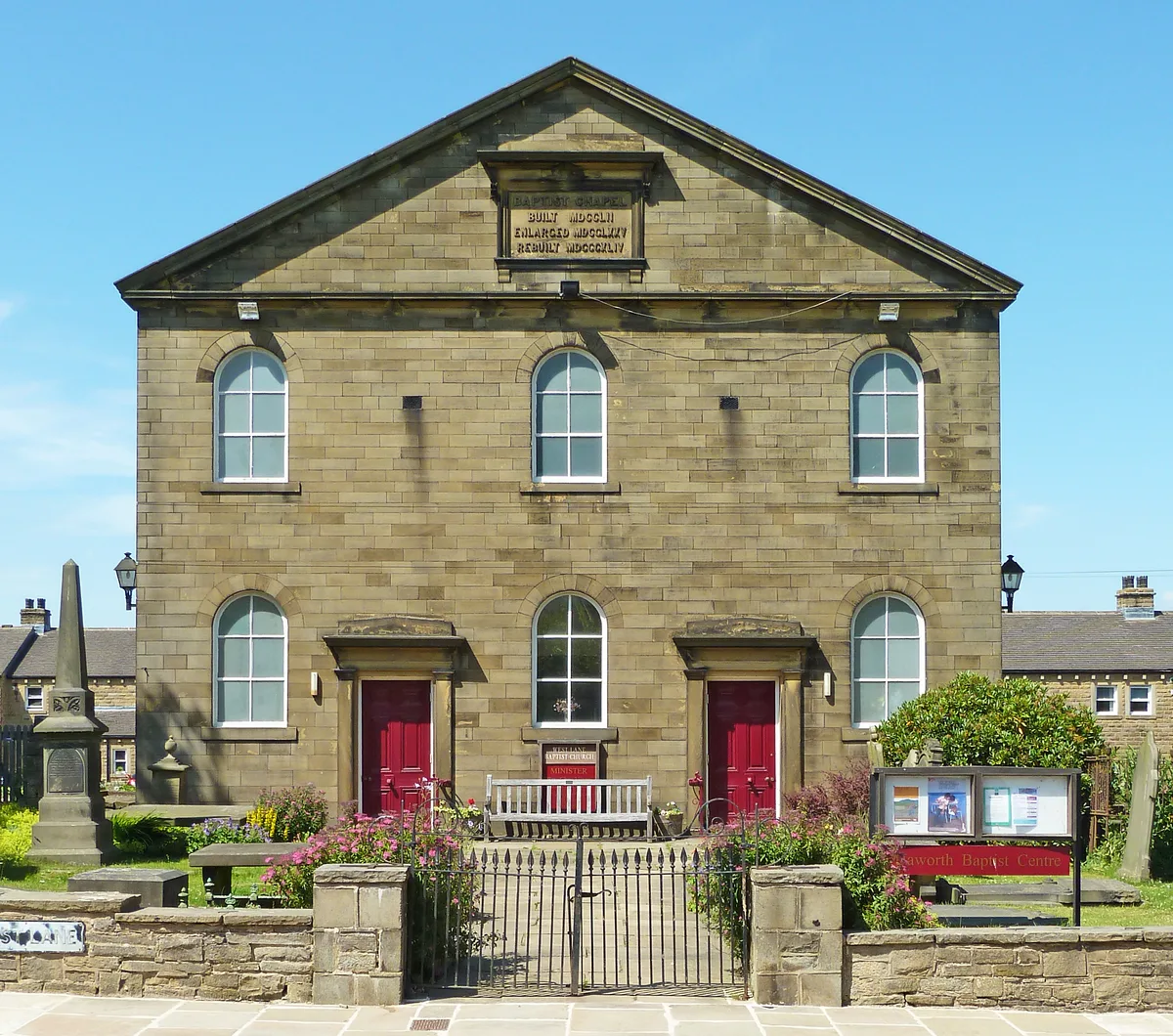
Baptist Chapel
Baptist Chapel — chapel in Haworth, Cross Roads and Stanbury, Bradford, West Yorkshire, England, UK.
Frequently asked questions
- Where is Chapel Range?
- Chapel Range is in Yorkshire, United Kingdom (postcode DL10 5HJ), in the parish of Aske.
- What is Chapel Range?
- Chapel Range — chapel in Aske, North Yorkshire, England, UK.
- How do I get to Chapel Range?
- The nearest town is Middleton Tyas. Drivers can use postcode DL10 5HJ.
- Is Chapel Range a listed building?
- Chapel Range is officially recognised as Grade II* listed building listed.
- Is Chapel Range free to visit?
- Yes, Chapel Range is free to enter.
- How do I get to Chapel Range?
- Drivers can navigate to postcode DL10 5HJ. It sits within the Richmond and Northallerton parliamentary constituency.