
Mountains & hills · East Midlands
Burrough Hill
In or near Tilton on the Hill.
Burrough Hill — Named summit at 210 m.

Wikimedia Commons contributors — see linked file page for photographer and licence licence

Plan your visit
- Typical visit
- 3 h–8 h
- Best time of year
- Late spring – early autumn (May–Oct)
- Nearest railway station
- Melton Mowbray · 6.9 km
- Free entry
- Dog-friendly
Getting there & planning your visit
To visit Burrough Hill, the nearest railway station is Melton Mowbray, which is 6.9 km away. The postcode for sat-nav is LE14 2QZ, and entry is free.
About
Burrough Hill is a named summit in the United Kingdom. Records date its origin to AD 500. Wikidata describes it as: "Named summit at 210 m.". Coordinates: 52.6991°, -0.8745°.
Photo gallery
From the Wikipedia article
Burrough Hill is an Iron Age hillfort in Burrough on the Hill, 7 miles (11 km) south of Melton Mowbray in the English county of Leicestershire. Situated on a promontory about 210 metres (690 ft) above sea level, the site commands views over the surrounding countryside for miles around. There has been human activity in the area since at least the Mesolithic, and the hillfort was founded in the early Iron Age. In the medieval period, after the hillfort was abandoned, the hill was used as farmland. This ended in the 17th century when the parish the hill was in was enclosed. Traces of ridge and furrow show where the medieval fields were ploughed. Since the 1930s the site has been the subject of archaeological investigations and renewed excavations under the auspices of the University of Leicester began in 2010. Part of Burrough Hill Country Park and open to the public, the hillfort is protected as a Scheduled Ancient Monument. According to archaeologist Dr Jeremy Taylor "sites like Burrough Hill were the nearest thing we have to a town before places like Leicester ever existed".
Excerpt from Wikipedia under CC BY-SA 4.0. See the source article linked in Sources below.
Background
History
Burrough Hill is the best example of a univallate hillfort (surrounded by a single ditch and rampart) in Leicestershire. The subsequent development of the hillfort is unclear. As yet it is uncertain whether the settlement outside the hillfort was contemporary with the occupation of the hillfort or represent a different phase of activity on the site. Towards the end of the Iron Age, the fort gradually degraded. A layer of refuse bears testament to this and contains Roman pottery. It is likely the site was still in use between the 1st and 4th centuries AD, at which point Britain was under Roman control. During the Roman period, habitation was focused in the northern part of the fort. cut…
Sourced from Wikipedia under CC BY-SA 4.0.
- Coordinates
- 52.6991, -0.8745
- County
- Leicestershire
- District
- Melton
- Parish
- Somerby
- Postcode
- LE14 2QZ
- Parliamentary constituency
- Melton and Syston
- Nearest railway station
- Melton Mowbray — 6.9 km
Sources
- osm: n1216728929 (ODbL)
- wikipedia: Burrough Hill (CC BY-SA 4.0)
- commons: Burrough Hill gateway, 2011.jpg (CC BY-SA 4.0)
Other places nearby

Burrough Hill Iron Age Fort
Archaeological sites · 0.1 km
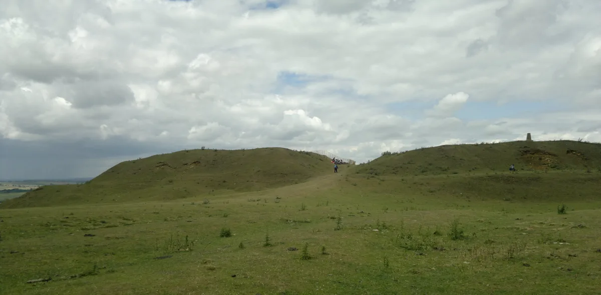
Burrough Hill
Hill forts · 0.1 km

Burrough Hill
Viewpoints · 0.2 km

Burrough on the Hill Manor
Historic houses · 1.2 km

The Stilton Cheese
Historic pubs · 2.0 km

Somerby
Villages · 2.1 km
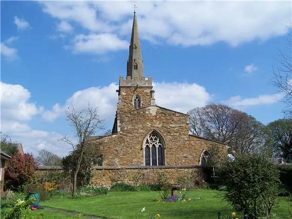
Church of All Saints
Historic churches · 2.3 km
.jpg?width=1200)
Somerby House
Historic houses · 2.3 km

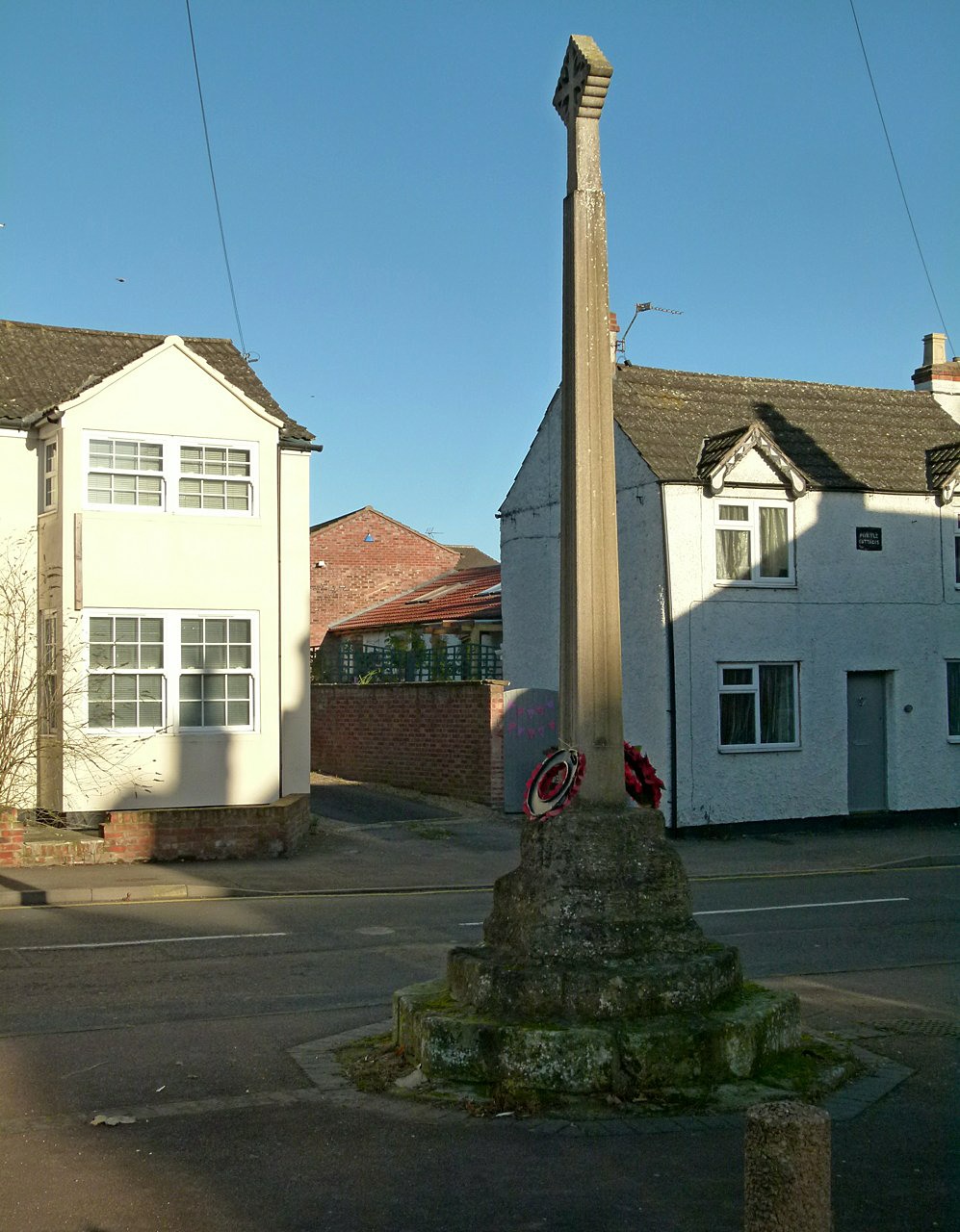
Pickwell War Memorial
Memorials & monuments · 2.4 km
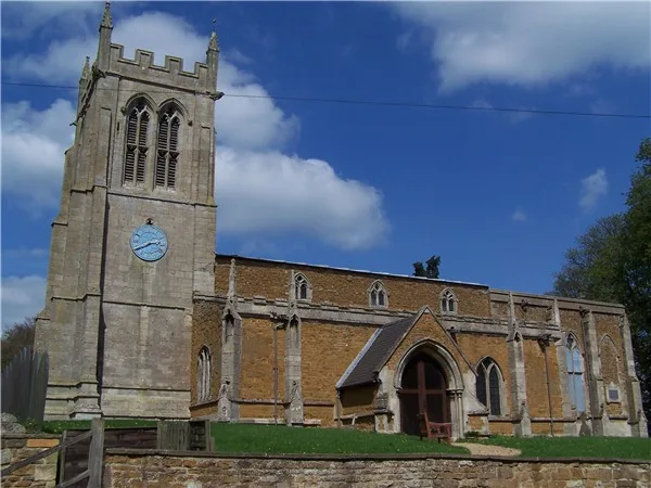
Church of All Saints
Historic churches · 2.5 km

Thorpe Satchville
Villages · 2.8 km

Little Dalby
Villages · 2.9 km
Nearby
📷 3Archaeological sites · East Midlands
Burrough Hill Iron Age Fort
Burrough Hill Iron Age Fort — a archaeological in england-west-midlands, United Kingdom.
📷 3Hill forts · East Midlands
Burrough Hill
Burrough Hill — Iron Age hill fort in Leicestershire, England, UK.
📷 4📷 3Historic houses · East Midlands
Burrough on the Hill Manor
Burrough on the Hill Manor — house in Somerby, Melton, Leicestershire, England, UK.
📷 5Historic pubs · East Midlands
The Stilton Cheese
The Stilton Cheese in England East Midlands, United Kingdom.
📷 5Where to eat & stay near Burrough Hill
Places to stay
 📷 5
📷 5Caravan parks · East Midlands
Greendale Farm Caravan Park
Greendale Farm Caravan Park — a caravan park in england east midlands.
 📷 5
📷 5Campsites · East Midlands
Sysonby Acres Leisure Park
Sysonby Acres Leisure Park — a campsite in england east midlands.
 📷 5
📷 5 📷 5
📷 5 📷 7
📷 7Hotels · East Midlands
Wisteria Hotel
Wisteria Hotel — a hotel in england west midlands.
 📷 5
📷 5Campsites · East Midlands
Fair Farm
Fair Farm — a campsite in england east midlands.
Places to eat & drink
📷 5Historic pubs · East Midlands
The Stilton Cheese
The Stilton Cheese in England East Midlands, United Kingdom.
 📷 7
📷 7 📷 7
📷 7Historic pubs · East Midlands
Anne of Cleves
Anne of Cleves — Historic pub — listed building or notable heritage status.
 📷 7
📷 7Cafés · East Midlands
The Storehouse At The Fox
The Storehouse At The Fox — a café in england east midlands.
 📷 7
📷 7Historic pubs · East Midlands
The Blue Bell Public House
The Blue Bell Public House in England East Midlands, United Kingdom.
 📷 5
📷 5More mountains in this region
 📷 5
📷 5Mountains & hills · East Midlands
Errwood Hall
The ruin of Errwood Hall is a popular tourist destination in the scenic Upper Goyt Valley within the Peak District of England.
 📷 3
📷 3 📷 5
📷 5 📷 3
📷 3Mountains & hills · East Midlands
Black Edge - Summit
Black Edge - Summit — Named summit at 506.7 m.
Frequently asked questions
- Where is Burrough Hill?
- Burrough Hill is in Leicestershire, the West Midlands, United Kingdom (postcode LE14 2QZ), in the parish of Somerby.
- What is Burrough Hill?
- Burrough Hill — Named summit at 210 m.
- How do I get to Burrough Hill?
- The nearest railway station is Melton Mowbray, about 6.9 km away. Drivers can use postcode LE14 2QZ.
- When was Burrough Hill built?
- Dates from the Anglo-Saxon period.
- Is Burrough Hill free to visit?
- Yes, Burrough Hill is free to enter.
- How do I get to Burrough Hill?
- The nearest railway station is Melton Mowbray, about 6.9 km away. Drivers can navigate to postcode LE14 2QZ.