
Hill forts · South East England
Buckland Rings
In or near Boldre.
Buckland Rings — hillfort in Hampshire, England, UK.

Wikimedia Commons contributors — see linked file page for photographer and licence licence

Plan your visit
- Typical visit
- 1 h–2 h
- Nearest railway station
- Lymington Town · 1.6 km
- Free entry
- Dog-friendly
Getting there & planning your visit
To visit Buckland Rings, the nearest railway station is Lymington Town, located 1.6 km away. Entry to the site is free. The postcode for sat-nav is SO41 8NN.
About
Buckland Rings is a hill fort in the United Kingdom. Heritage designation: scheduled monument. Owned by Hampshire County Council. Wikidata describes it as: "hillfort in Hampshire, England, UK". Coordinates: 50.7699°, -1.5547°.
Photo gallery
Protected designations
- Site of Special Scientific Interest: Lymington River SSSI
- Site of Special Scientific Interest: The New Forest SSSI
- Ramsar wetland: Solent & Southampton Water
Designations sourced from Natural England open data under OGL v3.
From the Wikipedia article
Buckland Rings is the site of an Iron Age hill fort in the town of Lymington, Hampshire. Today, the mounds and dykes around the outside which once constituted its defences are still clearly visible, although the outer bank lies under the road on the west side, and on the south-east it is nearly ploughed-out. Excavations of the inner and middle ramparts in 1935 revealed that they were of wall-and-fill construction, retained at the front by upright timber beams and walls of cut and laid turf. The entrance, which lies on the east side, was also excavated revealing a long entrance passage and the postholes for a pair of stout gateposts. The site was bought by Hampshire County Council in 1989 to ensure its preservation, and it is open to the public from the A337 road onto which part of it faces.
Excerpt from Wikipedia under CC BY-SA 4.0. See the source article linked in Sources below.
Background
Description
Buckland Rings is a triple-banked, rectangular encampment dating from the Iron Age. Although this type of enclosure is commonly referred to as a hillfort, Buckland Rings is in fact only 27 metres above sea-level. This type of site is rare in lowland areas and as such it is the best preserved and most important in the Hampshire/Dorset basin. It stands on a spur of gravel and encloses 2.8 hectares. The innermost bank stands 2.4 metres high whilst the middle one is lower but unusually wide. Buckland Rings has well-preserved triple banks and double ditches, although the outer bank lies under the road on the west side, and the east side which contained the entrance was partly ploughed up in the…
Sourced from Wikipedia under CC BY-SA 4.0.
- Coordinates
- 50.7699, -1.5547
- County
- Hampshire
- District
- New Forest
- Parish
- Lymington and Pennington
- Postcode
- SO41 8NN
- Parliamentary constituency
- New Forest West
- Nearest railway station
- Lymington Town — 1.6 km
Sources
- wikidata: Q4983297 (CC0)
- wikipedia: Buckland Rings (CC BY-SA 4.0)
- commons: Eastern rampart of Buckland Rings - geograph.org.uk - 255971.jpg (CC BY-SA 4.0)
Other places nearby

Ampress Camp
Vineyards · 0.5 km

Lymington River Reedbeds SSSI
Forests & woodlands · 0.9 km

Southlands School
Natural landmarks · 1.2 km

Vicars Hill
Mountains & hills · 1.2 km

Boldre
Towns & cities · 1.4 km

Lymington Community Centre
Theatres · 1.4 km

The Malt Cinema
Cinemas · 1.4 km

The Sail Inn
Historic pubs · 1.4 km
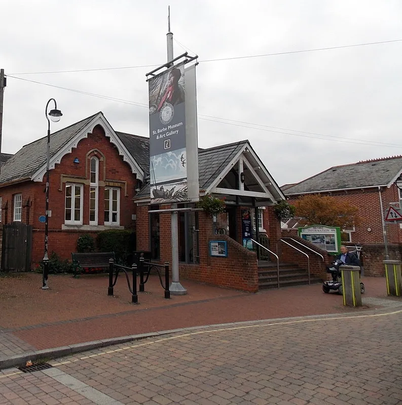
St Barbe Museum and Art Gallery
Museums · 1.5 km
St Barbe Museum & Art Gallery
Museums · 1.5 km

Saint Barbe Museum and Art Gallery
Museums · 1.5 km
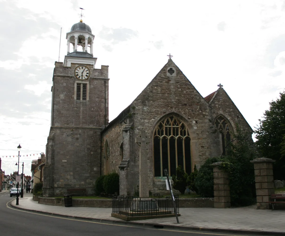
Church of St. Thomas the Apostle
Historic churches · 1.5 km
Nearby
📷 5Vineyards · South East England
Ampress Camp
Ampress Camp — a UK vineyard in england south east, producing English or Welsh wine from cool-climate grape varieties.
📷 5Forests & woodlands · South East England
Lymington River Reedbeds SSSI
Lymington River Reedbeds SSSI is a forest or woodland in the United Kingdom.
📷 5Natural landmarks · South East England
Southlands School
Southlands School — a school heritage in england-south-east, United Kingdom.
📷 5Mountains & hills · South East England
Vicars Hill
Vicars Hill — mountain in england south east. Elevation: 25 m.
📷 5Towns & cities · South East England
Boldre
Boldre — village and civil parish in the New Forest district of Hampshire, UK.
📷 5Theatres · South East England
Lymington Community Centre
Lymington Community Centre in England South East, United Kingdom.
Where to eat & stay near Buckland Rings
Places to stay
 📷 5
📷 5Hotels · South East England
Macdonald Elmers Court Hotel & Resort
Macdonald Elmers Court Hotel & Resort — a hotel in england south east.
 📷 5📷 5
Caravan parks · South East England
Lightfoot's Farm Touring Caravan Park
Lightfoot's Farm Touring Caravan Park — a caravan park in england south east.
 📷 5
📷 5Caravan parks · South East England
Hurst View
Hurst View — a caravan park in england south east.
 📷 5
📷 5Places to eat & drink
📷 7 📷 7
📷 7Historic pubs · South East England
Walhampton Arms, formerly farm building range at Home Farm
Walhampton Arms, formerly farm building range at Home Farm in England South East, United Kingdom.
 📷 7
📷 7Historic pubs · South East England
The Hobler Public House
The Hobler Public House in England South East, United Kingdom.
 📷 5
📷 5Historic pubs · South East England
Forest Heath Hotel
Forest Heath Hotel in England South West, United Kingdom.
 📷 5
📷 5 📷 7
📷 7Historic pubs · South East England
Rose And Crown Hotel
Rose And Crown Hotel in England South East, United Kingdom.
More places in this region
 📷 5
📷 5Hill forts · South East England
Ankerwycke Priory
Ankerwycke Priory — Benedictine nunnery with associated moat and fishponds.
 📷 5
📷 5Hill forts · South East England
Shornemead Fort
Shornemead Fort — fort in Shorne, Kent, England, UK.
 📷 5
📷 5Hill forts · South East England
Smythe's Megalith
Smythe's Megalith — neolithic monument in Kent, England.
 📷 5
📷 5Hill forts · South East England
White Horse Stone
White Horse Stone — Two megaliths near Aylesford, Kent, England.
Frequently asked questions
- Where is Buckland Rings?
- Buckland Rings is in Hampshire, South-East England, United Kingdom (postcode SO41 8NN), in the parish of Lymington and Pennington.
- What is Buckland Rings?
- Buckland Rings — hillfort in Hampshire, England, UK.
- How do I get to Buckland Rings?
- The nearest railway station is Lymington Town, about 1.6 km away. The nearest town is Boldre. Drivers can use postcode SO41 8NN.
- Who owns Buckland Rings?
- Buckland Rings is owned by Hampshire County Council.
- Is Buckland Rings a listed building?
- Buckland Rings is officially recognised as scheduled monument listed.
- Is Buckland Rings a protected site?
- Yes — Buckland Rings is part of the Lymington River SSSI Site of Special Scientific Interest and the The New Forest SSSI Site of Special Scientific Interest.
- Is Buckland Rings free to visit?
- Yes, Buckland Rings is free to enter.
- How do I get to Buckland Rings?
- The nearest railway station is Lymington Town, about 1.6 km away. Drivers can navigate to postcode SO41 8NN.