
Forests & woodlands · South East England
Lymington River Reedbeds SSSI
In or near Boldre.
Lymington River Reedbeds SSSI is a forest or woodland in the United Kingdom.

Wikimedia Commons licence
Plan your visit
- Typical visit
- 1 h–3 h
- Nearest railway station
- Lymington Town · 1.2 km
- Free entry
- Family-friendly
- Dog-friendly
Getting there & planning your visit
To visit Lymington River Reedbeds SSSI, the nearest railway station is Lymington Town, located 1.2 km away. Entry is free. The postcode for sat-nav is SO41 5QB.
About
Lymington River Reedbeds SSSI is a named forest, woodland or nature reserve in the United Kingdom. Address: Undershore, Lymington, SO41 5QB. Opening hours: 24/7. Coordinates: 50.7713°, -1.5417°.
Photo gallery
Protected designations
- Site of Special Scientific Interest: Lymington River Reedbeds SSSI
- Site of Special Scientific Interest: Lymington River SSSI
- Site of Special Scientific Interest: The New Forest SSSI
- Ramsar wetland: Solent & Southampton Water
Designations sourced from Natural England open data under OGL v3.
From the Wikipedia article
Lymington River Reedbeds is a 41.7-hectare (103-acre) biological Site of Special Scientific Interest in Lymington in Hampshire. It is a nature reserve managed by the Hampshire and Isle of Wight Wildlife Trust. It is part of Solent and Southampton Water Ramsar site and Special Protection Area. This site in the Lymington River estuary was formerly tidal, but salt water has been excluded since the nineteenth century by a one way tide flap. It has reedbeds and unimproved grassland which provide an important habitat for breeding and migrating birds. The reedbeds have large populations of aphids, which provide food for the birds.
Excerpt from Wikipedia under CC BY-SA 4.0. See the source article linked in Sources below.
- Coordinates
- 50.7713, -1.5417
- County
- Hampshire
- District
- New Forest
- Parish
- Lymington and Pennington
- Postcode
- SO41 5QB
- Parliamentary constituency
- New Forest West
- Nearest railway station
- Lymington Town — 1.2 km
- Opening
- 24/7
Sources
- osm: w993070789 (ODbL)
- wikipedia: Lymington River Reedbeds (CC BY-SA 4.0)
Other places nearby

Ampress Camp
Vineyards · 0.4 km

Southlands School
Natural landmarks · 0.4 km

Vicars Hill
Mountains & hills · 0.5 km

Walhampton Arms, formerly farm building range at Home Farm
Historic pubs · 0.7 km
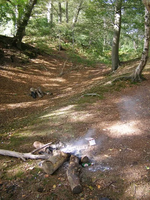
Buckland Rings
Hill forts · 0.9 km

Lymington Community Centre
Theatres · 1.3 km

The Malt Cinema
Cinemas · 1.3 km

Burard-Neale Monument
Memorials & monuments · 1.4 km
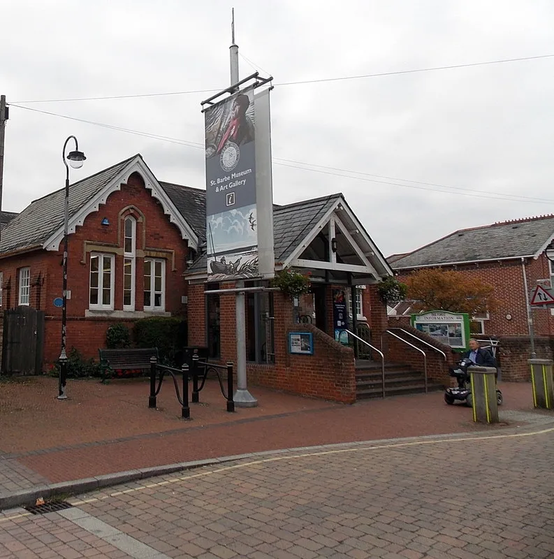
St Barbe Museum and Art Gallery
Museums · 1.4 km
St Barbe Museum & Art Gallery
Museums · 1.4 km
Lymington Obelisk
Memorials & monuments · 1.4 km

Saint Barbe Museum and Art Gallery
Museums · 1.4 km
Nearby
📷 5Vineyards · South East England
Ampress Camp
Ampress Camp — a UK vineyard in england south east, producing English or Welsh wine from cool-climate grape varieties.
📷 5Natural landmarks · South East England
Southlands School
Southlands School — a school heritage in england-south-east, United Kingdom.
📷 5Mountains & hills · South East England
Vicars Hill
Vicars Hill — mountain in england south east. Elevation: 25 m.
📷 7Historic pubs · South East England
Walhampton Arms, formerly farm building range at Home Farm
Walhampton Arms, formerly farm building range at Home Farm in England South East, United Kingdom.
📷 5Hill forts · South East England
Buckland Rings
Buckland Rings — hillfort in Hampshire, England, UK.
📷 5Theatres · South East England
Lymington Community Centre
Lymington Community Centre in England South East, United Kingdom.
Where to eat & stay near Lymington River Reedbeds SSSI
Places to stay
 📷 5
📷 5Hotels · South East England
Macdonald Elmers Court Hotel & Resort
Macdonald Elmers Court Hotel & Resort — a hotel in england south east.
 📷 5
📷 5 📷 5
📷 5Caravan parks · South East England
Hurst View
Hurst View — a caravan park in england south east.
 📷 5📷 5
Caravan parks · South East England
Lightfoot's Farm Touring Caravan Park
Lightfoot's Farm Touring Caravan Park — a caravan park in england south east.
Places to eat & drink
📷 7Historic pubs · South East England
Walhampton Arms, formerly farm building range at Home Farm
Walhampton Arms, formerly farm building range at Home Farm in England South East, United Kingdom.
 📷 7
📷 7 📷 7
📷 7Historic pubs · South East England
The Hobler Public House
The Hobler Public House in England South East, United Kingdom.
 📷 5
📷 5Historic pubs · South East England
Forest Heath Hotel
Forest Heath Hotel in England South West, United Kingdom.
 📷 5
📷 5 📷 7
📷 7Historic pubs · South East England
Rose And Crown Hotel
Rose And Crown Hotel in England South East, United Kingdom.
More forests in this region
 📷 5
📷 5Forests & woodlands · South East England
Darland Banks
Darland Banks is a forest or woodland in the United Kingdom.
.jpg?width=1200) 📷 5
📷 5Forests & woodlands · South East England
Inholms Lane Clay Pit Nature Reserve
Inholms Lane Clay Pit Nature Reserve is a forest or woodland in the United Kingdom.
 📷 5
📷 5Forests & woodlands · South East England
Jeskyns Community Woodland
Jeskyns Community Woodland is a forest or woodland in the United Kingdom.
 📷 5
📷 5Forests & woodlands · South East England
Oxmore Copse
Oxmore Copse is a forest or woodland in the United Kingdom.
Frequently asked questions
- Where is Lymington River Reedbeds SSSI?
- Lymington River Reedbeds SSSI is in Hampshire, South-East England, United Kingdom (postcode SO41 5QB), in the parish of Lymington and Pennington.
- What is Lymington River Reedbeds SSSI?
- Lymington River Reedbeds SSSI is a forest or woodland in the United Kingdom.
- How do I get to Lymington River Reedbeds SSSI?
- The nearest railway station is Lymington Town, about 1.2 km away. The nearest town is Boldre. Drivers can use postcode SO41 5QB.
- Is Lymington River Reedbeds SSSI a protected site?
- Yes — Lymington River Reedbeds SSSI is part of the Lymington River Reedbeds SSSI Site of Special Scientific Interest and the Lymington River SSSI Site of Special Scientific Interest.
- Is Lymington River Reedbeds SSSI free to visit?
- Yes, Lymington River Reedbeds SSSI is free to enter.
- How do I get to Lymington River Reedbeds SSSI?
- The nearest railway station is Lymington Town, about 1.2 km away. Drivers can navigate to postcode SO41 5QB.