
Historic houses · North West England
Blacksmiths Arms
In or near Foxfield.
Blacksmiths Arms — a Grade II*-listed historic house in england-north-west, United Kingdom.

Andrew Hill — CC BY-SA 2.0 via Wikimedia Commons licence

Plan your visit
- Typical visit
- 1 h–2 h
- Nearest railway station
- Foxfield · 5.2 km
- Family-friendly
- Limited wheelchair access
Getting there & planning your visit
To visit the Blacksmiths Arms, the nearest railway station is Foxfield, located 5.2 km away. The postcode for sat-nav is LA20 6AX. Please note that wheelchair accessibility is limited.
About
Blacksmiths Arms is a Grade II*-listed building in england-north-west, United Kingdom. Grade II* status is conferred by Historic England (or Cadw, Historic Environment Scotland or NIEA equivalents) on buildings of exceptional national interest. See the linked Wikipedia article for full historical and architectural details.
Photo gallery
Protected designations
- Site of Special Scientific Interest: Duddon Valley Woodlands SSSI
Designations sourced from Natural England open data under OGL v3.
From the Wikipedia article
The Blacksmiths Arms is a Grade II listed public house at Broughton Mills, Cumbria, England. It is on the Campaign for Real Ale's National Inventory of Historic Pub Interiors.
Excerpt from Wikipedia under CC BY-SA 4.0. See the source article linked in Sources below.
Background
History
Parts of the building date from 1577 when it was a farmhouse called "Broadstones". It was revised and converted into an inn in 1748, when it included a blacksmith's forge and had a working farm of 34 acre. The chef Michael Lane took over the pub in 2004.
Architecture
The roughcast stone whitewashed building has stone flagstone floors and a slate roof. There are still working gas lights in two of the rooms.
Sourced from Wikipedia under CC BY-SA 4.0.
- Coordinates
- 54.3044, -3.1970
- District
- Westmorland and Furness
- Parish
- Broughton West
- Postcode
- LA20 6AX
- Parliamentary constituency
- Barrow and Furness
- Nearest railway station
- Foxfield — 5.2 km
Sources
- wikidata: Q17985947 (CC0)
- wikipedia: Blacksmiths Arms, Broughton Mills (CC BY-SA 4.0)
Other places nearby

Blacksmiths Arms
Historic pubs · 0.0 km

Hovel Knott
Mountains & hills · 1.3 km

The Knott
Mountains & hills · 1.4 km

Potherilt Hill
Mountains & hills · 1.4 km

Great Stickle
Natural landmarks · 1.5 km
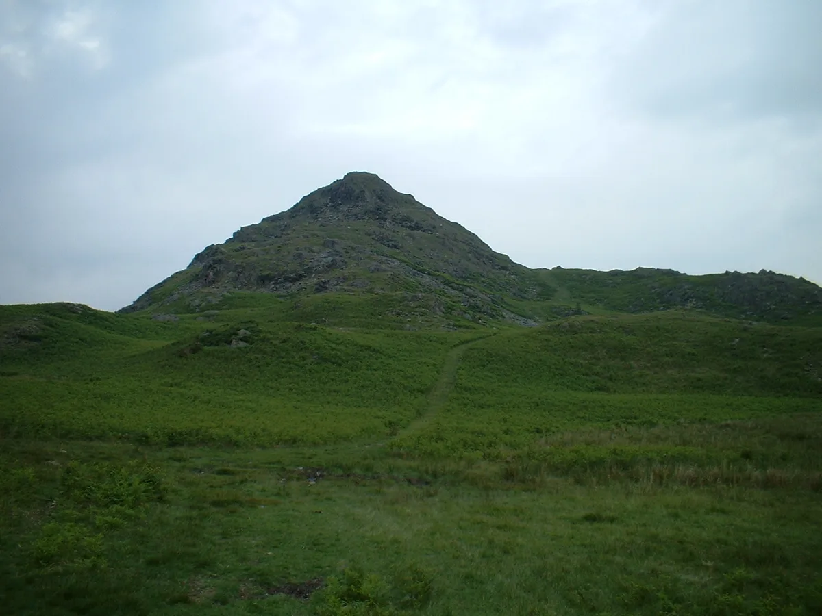
Stickle Pike
Natural landmarks · 1.9 km

Tarn Hill
Mountains & hills · 2.0 km

Hawk Bridge (That Part In Broughton West)
Historic bridges · 2.2 km

Hollowscar Hill End
Mountains & hills · 2.3 km

Raven's Crag
Mountains & hills · 2.4 km
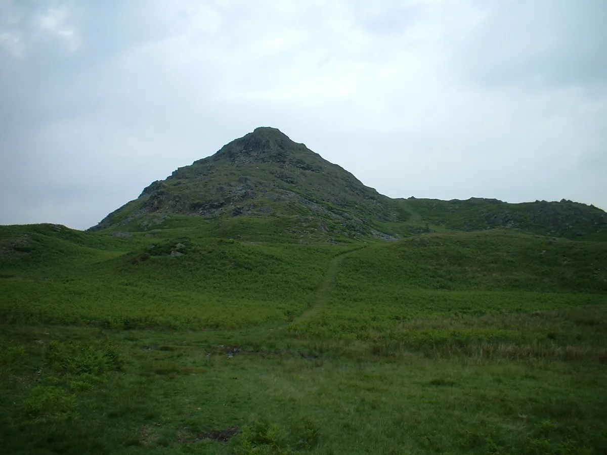
Stickle Pike
Mountains & hills · 2.5 km
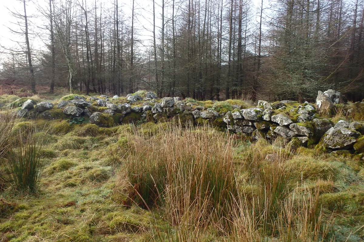
Settlement on The Hawk
Archaeological sites · 2.5 km
Nearby
📷 5Historic pubs · North West England
Blacksmiths Arms
Blacksmiths Arms in England North West, United Kingdom.
📷 5Mountains & hills · North West England
Hovel Knott
Hovel Knott — mountain in england north west. Elevation: 224 m.
📷 5Mountains & hills · North West England
The Knott
The Knott — mountain in england north west. Elevation: 284 m.
📷 5Mountains & hills · North West England
Potherilt Hill
Potherilt Hill — mountain in england north west. Elevation: 195 m.
📷 3📷 3Natural landmarks · North West England
Stickle Pike
Stickle Pike — mountain in the United Kingdom.
Where to eat & stay near Blacksmiths Arms
Places to stay
 📷 7
📷 7Hotels · North West England
The Black Cock Inn
The Black Cock Inn — a hotel in england north west.
 📷 5📷 5
Campsites · North West England
Birch Bank Campsite
Birch Bank Campsite — a campsite in england north west.
 📷 5
📷 5Campsites · North West England
Turner Hall Farm Campsite
Turner Hall Farm Campsite — a campsite in england north west.
 📷 5
📷 5Caravan parks · North West England
Shepherd's View Caravan Site
Shepherd's View Caravan Site — a caravan park in england north west.
 📷 4
📷 4Campsites · North West England
Baystone Bank Farm Camping Site
Baystone Bank Farm Camping Site — a campsite in england north west.
Places to eat & drink
📷 5Historic pubs · North West England
Blacksmiths Arms
Blacksmiths Arms in England North West, United Kingdom.
 📷 7
📷 7Historic pubs · North West England
Church House Public House
Church House Public House in England North West, United Kingdom.
 📷 5
📷 5Restaurants · North West England
The Terrace Coffee House and Restaurant
The Terrace Coffee House and Restaurant — a restaurant in england north west. Cuisine: sandwich;lunch.
 📷 5
📷 5Historic pubs · North West England
Hoppers Public House
Hoppers Public House in England North West, United Kingdom.
 📷 5
📷 5Historic pubs · North West England
Sun Cottage Sun Inn Public House
Sun Cottage Sun Inn Public House in England North West, United Kingdom.
 📷 5
📷 5Historic pubs · North West England
Chappells Tavern
Chappells Tavern in England North West, United Kingdom.
More historic houses in this region
 📷 3
📷 3Historic houses · North West England
116 Hospital Street, Nantwich
116 Hospital Street, Nantwich — substantial townhouse in Nantwich, Cheshire, England, UK.
 📷 3
📷 3Historic houses · North West England
140–142 Hospital Street, Nantwich
140–142 Hospital Street, Nantwich — grade II listed building in Nantwich, Cheshire East, Cheshire, England, UK.
 📷 3
📷 3Historic houses · North West England
46 High Street, Nantwich
46 High Street, Nantwich — house in Nantwich, Cheshire, England, UK.
 📷 3
📷 3Historic houses · North West England
64, St Ann's Road
64, St Ann's Road — Grade II* listed house in Middlewich, Cheshire East, England, UK.
Frequently asked questions
- Where is Blacksmiths Arms?
- Blacksmiths Arms is in North-West England, United Kingdom (postcode LA20 6AX), in the parish of Broughton West.
- What is Blacksmiths Arms?
- Blacksmiths Arms — a Grade II*-listed historic house in england-north-west, United Kingdom.
- How do I get to Blacksmiths Arms?
- The nearest railway station is Foxfield, about 5.2 km away. Drivers can use postcode LA20 6AX.
- Is Blacksmiths Arms a listed building?
- Blacksmiths Arms is officially recognised as Grade II* listed.
- Is Blacksmiths Arms a protected site?
- Yes — Blacksmiths Arms is part of the Duddon Valley Woodlands SSSI Site of Special Scientific Interest.
- How do I get to Blacksmiths Arms?
- The nearest railway station is Foxfield, about 5.2 km away. Drivers can navigate to postcode LA20 6AX.