
Forts · Northern Ireland
Battle of Saintfield (1798)
In or near Ballygowan.
Battle of Saintfield (1798) is a fort in the United Kingdom.

Wikimedia Commons contributors — see linked file page for photographer and licence licence

Plan your visit
- Typical visit
- 45 min–1.5 h
About
Battle of Saintfield (1798) is a historic fort or fortified site in the United Kingdom. Coordinates: 54.4659°, -5.8277°. This entry is part of The Great Britain Guide, a free, ad-free, open-data tourist directory.
Photo gallery
From the Wikipedia article
The Battle of Saintfield was a short but bloody clash in County Down, Northern Ireland. The battle was the first major conflict of the Irish Rebellion of 1798 in Down. The battle took place on Saturday, 9 June 1798.
Excerpt from Wikipedia under CC BY-SA 4.0. See the source article linked in Sources below.
Background
History
A rebel force, over a thousand strong, converged on a large house owned by the McKee family. The McKees were a family of loyalists, who were unpopular in the region: one year before, they had provided information to the authorities leading to the arrest of the radical Presbyterian minister and United Irishman Thomas Ledlie Birch and some members of his congregation. The McKees knew that they were unpopular and were thus armed to the teeth. As the house was surrounded, shots were fired from the fortified house, hitting some of the attackers. Gunfire held the insurgents back for a short while, until one of them, a fiddler by the name of Orr, managed to sneak around the back of the house with…
Description
The rebels, however, had anticipated the move and were waiting in ambush. Stapylton saw the road ahead twisting into woods, and ordered a pair of scouts to check for anything suspicious. The men do not seem to have been particularly vigilant, as when they returned they declared that the road ahead was safe. The redcoats marched into the wooded area, a dense hedge snaking along the road on one side: on the opposite side, the ground steadily rose, with the areas higher up the slope dominated by demesne woods. This provided cover for the Irish. The Irish rebels were mostly armed with pikes and the terrain allowed them to quickly swarm the soldiers on the road below. In the fierce hand-to-hand…
Sourced from Wikipedia under CC BY-SA 4.0.
- Coordinates
- 54.4659, -5.8277
- District
- Newry, Mourne and Down
- Postcode
- BT24 7EP
- Parliamentary constituency
- Belfast South and Mid Down
Sources
- osm: n1975222981 (ODbL)
- wikipedia: Battle of Saintfield (CC BY-SA 4.0)
- commons: United Irishmen plaque Saintfield.jpg (CC BY-SA 4.0)
Other places nearby

Saintfield railway station
Natural landmarks · 0.5 km

Saintfield
Natural landmarks · 0.7 km
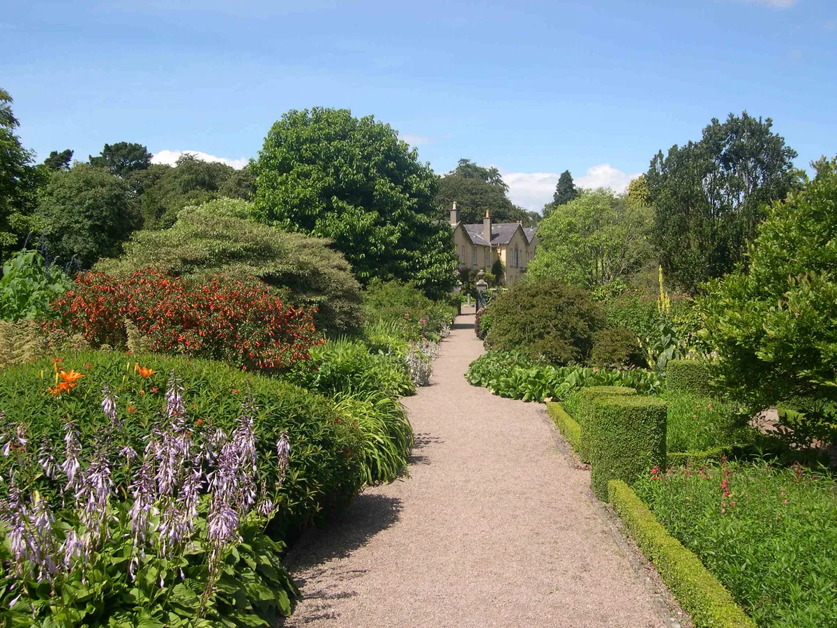
Rowallane Garden
Gardens · 2.1 km

Shepherd's Bridge Halt railway station
Historic bridges · 2.1 km

Forthill Rath
Archaeological sites · 2.5 km

Ravara
Natural landmarks · 2.9 km

Carrickmannan
Natural landmarks · 3.7 km

Ouley Hill
Natural landmarks · 4.0 km

Monlough
Lakes · 4.1 km
.JPG?width=1200)
Ballygowan
Towns & cities · 4.2 km

Ballynahinch Junction railway station
Natural landmarks · 4.4 km

Curly's Fort
Archaeological sites · 4.5 km
Nearby
📷 4Natural landmarks · Northern Ireland
Saintfield railway station
Saintfield railway station in Northern Ireland, United Kingdom.
📷 5📷 5Gardens · Northern Ireland
Rowallane Garden
Rowallane Garden — Historic garden in Northern Ireland.
📷 5Historic bridges · Northern Ireland
Shepherd's Bridge Halt railway station
Shepherd's Bridge Halt railway station in Northern Ireland, United Kingdom.
📷 3Archaeological sites · Northern Ireland
Forthill Rath
Forthill Rath — a archaeological in northern-ireland, United Kingdom.
📷 4Where to eat & stay near Battle of Saintfield (1798)
Places to stay
 📷 5
📷 5Hotels · Northern Ireland
La Mon Hotel & Country Club
La Mon Hotel & Country Club — a hotel in northern ireland.
 📷 3
📷 3Campsites · Northern Ireland
The Lodge at Quarterland Bay Camp Site
The Lodge at Quarterland Bay Camp Site — a campsite in northern ireland.
 📷 5
📷 5Campsites · Northern Ireland
EDYC Caravan and Camping Area
EDYC Caravan and Camping Area — a campsite in northern ireland.
 📷 5
📷 5Campsites · Northern Ireland
Delamont Country Park
Delamont Country Park — a campsite in northern ireland.
 📷 5
📷 5Campsites · Northern Ireland
Dundonald Touring Caravan Park
Dundonald Touring Caravan Park — a campsite in northern ireland.
 📷 4
📷 4Caravan parks · Northern Ireland
Quoile Yacht Club Caravan Park
Quoile Yacht Club Caravan Park — a caravan park in northern ireland.
Places to eat & drink
 📷 3
📷 3Historic pubs · Northern Ireland
Red Lion Pub bombing
Red Lion Pub bombing in Northern Ireland, United Kingdom.
 📷 5
📷 5Historic pubs · Northern Ireland
The Botanic Inn
The Botanic Inn in Northern Ireland, United Kingdom.
 📷 7
📷 7Historic pubs · Northern Ireland
Crown Liquor Saloon
Crown Liquor Saloon in Northern Ireland, United Kingdom.
 📷 5
📷 5Historic pubs · Northern Ireland
Kitchen Bar
Kitchen Bar in Northern Ireland, United Kingdom.
 📷 5
📷 5 📷 7
📷 7Historic pubs · Northern Ireland
Kelly's Cellars
Kelly's Cellars in Northern Ireland, United Kingdom.
More forts in this region
 📷 3
📷 3.jpg?width=1200) 📷 3
📷 3Forts · Northern Ireland
Battle of Benburb 1646
Battle of Benburb 1646 is a fort in the United Kingdom.
 📷 5
📷 5 📷 3
📷 3Forts · Northern Ireland
Battle of Knockavoe Battlefield
Battle of Knockavoe Battlefield is a fort in the United Kingdom.
Frequently asked questions
- Where is Battle of Saintfield (1798)?
- Battle of Saintfield (1798) is in Northern Ireland, United Kingdom (postcode BT24 7EP).
- What is Battle of Saintfield (1798)?
- Battle of Saintfield (1798) is a fort in the United Kingdom.
- How do I get to Battle of Saintfield (1798)?
- The nearest town is Ballygowan. Drivers can use postcode BT24 7EP.
- How do I get to Battle of Saintfield (1798)?
- Drivers can navigate to postcode BT24 7EP. It sits within the Belfast South and Mid Down parliamentary constituency.