
Forts · Northern Ireland
Battle of Benburb 1646
Also known as: Cath na Binne Boirbe
In or near Carrickaness.
Battle of Benburb 1646 is a fort in the United Kingdom.
.jpg?width=1200)
Wikimedia Commons contributors — see linked file page for photographer and licence licence
.jpg)
Plan your visit
- Typical visit
- 45 min–1.5 h
About
Battle of Benburb 1646 is a historic fort or fortified site in the United Kingdom. Coordinates: 54.4174°, -6.7687°. This entry is part of The Great Britain Guide, a free, ad-free, open-data tourist directory.
Photo gallery
From the Wikipedia article
The Battle of Benburb took place on 5 June 1646 during the Irish Confederate Wars, the Irish theatre of the Wars of the Three Kingdoms. It was fought between the Irish Confederates under Owen Roe O'Neill, and an army of Scottish Covenanters and Scottish/English settlers under Robert Monro. The battle ended in a decisive victory for the Irish Confederates and ended Scottish hopes of conquering Ireland and imposing their own religious settlement there.
Excerpt from Wikipedia under CC BY-SA 4.0. See the source article linked in Sources below.
Background
History
The Scots Covenanters had landed an army in Ulster in 1642, to protect the Scottish settlers there from the massacres that followed the Irish Rebellion of 1641. They landed at Carrickfergus and linked up with Sir Robert Stewart and the Laggan Army of Protestant settlers from County Donegal in northwest Ulster. The Covenanters cleared northeastern Ulster of Irish rebels by 1643 but were unable to advance south of mid-Ulster, which was held by Owen Roe O'Neill, the general of the Irish Confederate Ulster army. In 1646, Monro led a force composed of Scottish Covenanter regiments and Ulster settlers armies into Confederate-held territory. According to some accounts, this was the first step in a…
Sourced from Wikipedia under CC BY-SA 4.0.
- Coordinates
- 54.4174, -6.7687
- District
- Mid Ulster
- Postcode
- BT71 7QF
- Parliamentary constituency
- Fermanagh and South Tyrone
Sources
- osm: n3712175026 (ODbL)
- wikipedia: Battle of Benburb (CC BY-SA 4.0)
- commons: Plan of the battle of Benburb (c. 1907).jpg (CC BY-SA 4.0)
Other places nearby

Benburb
Natural landmarks · 1.6 km
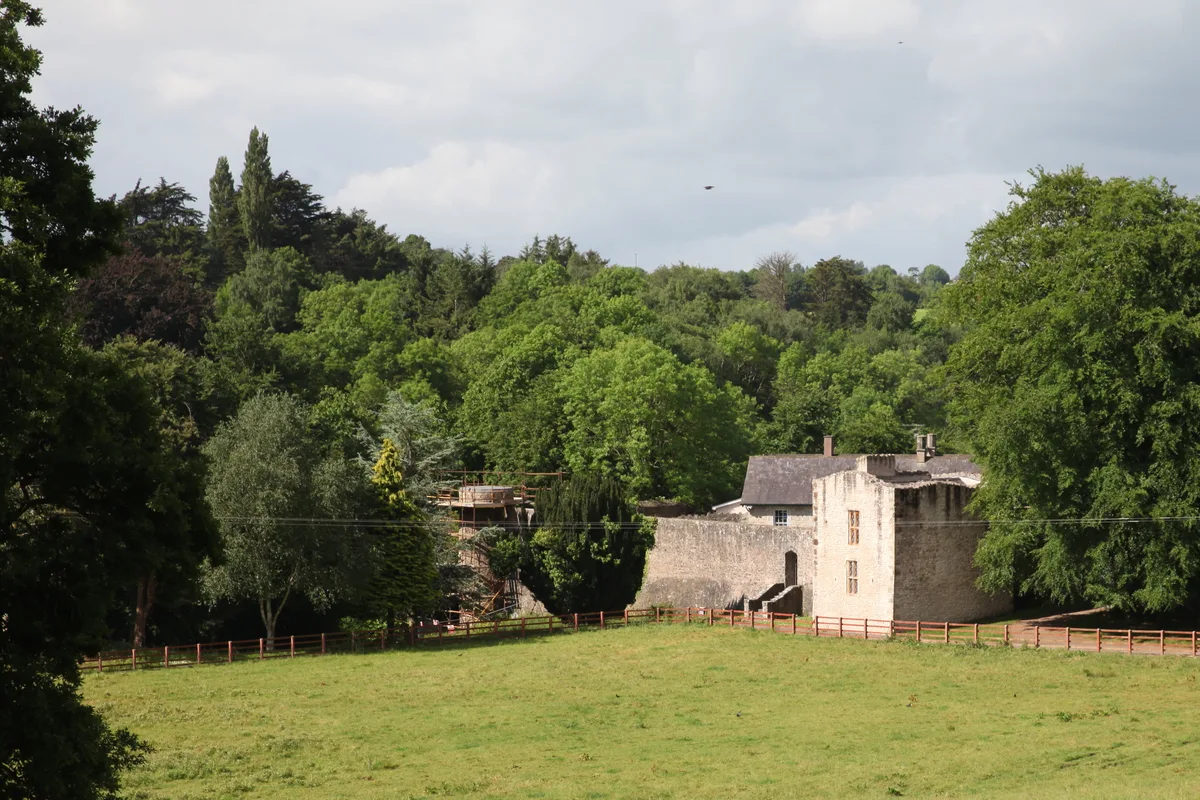
Benburb Castle
Castles · 1.8 km

Carrickaness
Towns & cities · 2.3 km

Lisgobban
Natural landmarks · 2.4 km

Clonfeacle
Villages · 3.4 km

Eglish
Natural landmarks · 4.2 km
Eglish St. Patrick's GAC
Natural landmarks · 4.3 km

Drummond
Villages · 4.3 km

Blackwatertown
Towns & cities · 4.5 km

Dyan
Villages · 4.6 km

Creevelough
Villages · 5.3 km

Moy Tír Na nÓg GAC
Natural landmarks · 5.5 km
Nearby
📷 5📷 3Castles · Northern Ireland
Benburb Castle
Benburb Castle — Castle in Northern Irelandˌ UK.
📷 4Towns & cities · Northern Ireland
Carrickaness
Carrickaness — village in County Armagh, Northern Ireland, UK.
📷 3📷 5📷 4Where to eat & stay near Battle of Benburb 1646
Places to stay
 📷 5
📷 5Caravan parks · Northern Ireland
Dungannon Park Caravan & Camping
Dungannon Park Caravan & Camping — a caravan park in northern ireland.
 📷 5
📷 5Caravan parks · Northern Ireland
Dungannon Park Caravan & Camping
Dungannon Park Caravan & Camping — a caravan park in northern ireland.
 📷 5
📷 5 📷 5
📷 5 📷 4
📷 4Caravan parks · Northern Ireland
Clare Glen Caravan Park
Clare Glen Caravan Park — a caravan park in northern ireland.
Places to eat & drink
 📷 5
📷 5More forts in this region
 📷 3
📷 3 📷 5
📷 5 📷 3
📷 3Forts · Northern Ireland
Battle of Knockavoe Battlefield
Battle of Knockavoe Battlefield is a fort in the United Kingdom.
 📷 4
📷 4Forts · Northern Ireland
Battle of Saintfield (1798)
Battle of Saintfield (1798) is a fort in the United Kingdom.
Frequently asked questions
- Where is Battle of Benburb 1646?
- Battle of Benburb 1646 is in Northern Ireland, United Kingdom (postcode BT71 7QF).
- What is Battle of Benburb 1646?
- Battle of Benburb 1646 is a fort in the United Kingdom.
- How do I get to Battle of Benburb 1646?
- The nearest town is Carrickaness. Drivers can use postcode BT71 7QF.
- How do I get to Battle of Benburb 1646?
- Drivers can navigate to postcode BT71 7QF. It sits within the Fermanagh and South Tyrone parliamentary constituency.