
Archaeological sites · South Wales
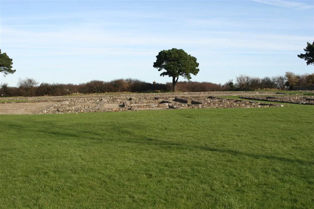
Banc Du Causewayed Enclosure
In or near Spittal.
Banc Du Causewayed Enclosure — archaeological in wales south.

Alan Hughes — CC BY-SA 2.0 via Wikimedia Commons licence

Plan your visit
- Typical visit
- 45 min–1.5 h
About
Banc Du Causewayed Enclosure is a archaeological located in wales south. A British archaeological site recorded in OpenStreetMap with at least one heritage quality signal (Wikidata link, Wikipedia article or designated operator).
Photo gallery
Place summary
Banc Du Causewayed Enclosure is an archaeological site located in Puncheston, South Wales, postcode SA66. This site features a prehistoric causewayed enclosure, a type of earthwork dating back to the Neolithic period. It is significant for its historical and archaeological value, providing insights into early human settlement and land use. Visitors can explore the earthworks and the surrounding landscape, which offers a glimpse into ancient practices and community organisation.
AI-generated from the structured facts on this page (operator, designation, listing, era). Not a substitute for visiting.
- Coordinates
- 51.9406, -4.8226
- District
- Pembrokeshire
- Parish
- Puncheston
- Postcode
- SA66 7RB
- Parliamentary constituency
- Ceredigion Preseli
Sources
- osm: n8419402604 (ODbL)
- wikidata: Q4854038 (CC0)
Other places nearby

Banc Du Causewayed Enclosure
Archaeological sites · 0.0 km

Deserted Medieval Site at New Inn
Vineyards · 0.5 km

Foel Eryr
Viewpoints · 1.5 km

Foel Eryr
Mountains & hills · 1.5 km
Cerrig Lladron
Mountains & hills · 1.5 km

Rosebush Holiday Park
Caravan parks · 1.8 km

Rosebush quarry
Quarries · 1.8 km

Bellstone quarry
Quarries · 1.8 km

Rosebush
Villages · 1.9 km

Mynydd Morvil
Mountains & hills · 2.1 km
Morvil
Villages · 2.4 km

Mynydd Morvil
Literary houses · 2.8 km
Nearby
📷 3Archaeological sites · South Wales
Banc Du Causewayed Enclosure
Banc Du Causewayed Enclosure — a archaeological in wales-south, United Kingdom.
📷 5Vineyards · South Wales
Deserted Medieval Site at New Inn
Deserted Medieval Site at New Inn — a UK vineyard in wales south, producing English or Welsh wine from cool-climate grape varieties.
📷 3📷 5📷 5📷 5Caravan parks · South Wales
Rosebush Holiday Park
Rosebush Holiday Park — a caravan park in wales south.
Where to eat & stay near Banc Du Causewayed Enclosure
Places to stay
📷 5Caravan parks · South Wales
Rosebush Holiday Park
Rosebush Holiday Park — a caravan park in wales south.
 📷 5
📷 5 📷 5
📷 5Campsites · South Wales
Coed Temple Druid
Coed Temple Druid — a campsite in wales south.
 📷 5
📷 5
 📷 5
📷 5Campsites · South Wales
Bloomfield Farm Caravan and Camping
Bloomfield Farm Caravan and Camping — a campsite in wales south.
Places to eat & drink
 📷 4
📷 4Historic pubs · Mid Wales
Dyffryn Arms
Dyffryn Arms — Historic pub — listed building or notable heritage status.
 📷 4
📷 4Historic pubs · Mid Wales
Crymmych Arms railway station
Crymmych Arms railway station in Wales Mid, United Kingdom.
 📷 7
📷 7 📷 3
📷 3 📷 4
📷 4Historic pubs · Mid Wales
Cardiff Arms
Cardiff Arms — Historic pub — listed building or notable heritage status.
 📷 3
📷 3Historic pubs · Mid Wales
The Pendre Inn
The Pendre Inn — Historic pub — listed building or notable heritage status.
More archaeological sites in this region
 📷 3
📷 3Archaeological sites · South Wales
Coygan Cave
Coygan Cave — cave and archaeological site in the United Kingdom.
 📷 3
📷 3 📷 3
📷 3Archaeological sites · South Wales
Glasfynydd Forest
Glasfynydd Forest — forest on the boundary of Carmarthenshire and Powys, Wales, UK.
 📷 3
📷 3Archaeological sites · South Wales
Gwersyll Rhufeinig Bargoed
Gwersyll Rhufeinig Bargoed — archaeological site in Caerphilly County Borough, Wales, UK.
Frequently asked questions
- Where is Banc Du Causewayed Enclosure?
- Banc Du Causewayed Enclosure is in South Wales, United Kingdom (postcode SA66 7RB), in the parish of Puncheston.
- What is Banc Du Causewayed Enclosure?
- Banc Du Causewayed Enclosure — archaeological in wales south.
- How do I get to Banc Du Causewayed Enclosure?
- Drivers can use postcode SA66 7RB.
- How do I get to Banc Du Causewayed Enclosure?
- Drivers can navigate to postcode SA66 7RB. It sits within the Ceredigion Preseli parliamentary constituency.