
Reservoirs & lochs · Scottish Highlands
Strontian
Also known as: Sròn an t-Sìthein
Strontian in Scotland Islands, United Kingdom.

Richard Webb — CC BY-SA 2.0 via Wikimedia Commons licence

Plan your visit
- Typical visit
- 1 h–2.5 h
- Free entry
- Dog-friendly
About
Strontian is a place of interest in Scotland Islands, United Kingdom — drawn from open-data sources for visitor reference. See the linked Wikipedia article for the full description.
Photo gallery
From the Wikipedia article
Strontian (; Scottish Gaelic: Sròn an t-Sìthein [s̪ɾɔːn̪ˠ ən̪ˠ ˈtʲiː.ɪn]) is the main village in Sunart, an area in western Lochaber, Highland, Scotland, on the A861 road. Prior to 1975 it was part of Argyllshire. It lies on the north shore of Loch Sunart, close to the head of the loch. In the hills to the north of Strontian lead was mined in the 18th century and in these mines the mineral strontianite was discovered, from which the element strontium was first isolated. The village name in Gaelic, Sròn an t-Sìthein, translates as the nose [i.e. 'point'] of the fairy hill, meaning a knoll or low round hill inhabited by the mythological sídhe. The nearby hamlets of Anaheilt, Bellsgrove, and Upper and Lower Scotstown are now generally considered part of Strontian, with Polloch several miles away on the terminus of the road to Loch Shiel. Strontian is the location of Ardnamurchan High School, the local fire station, police station and other facilities.
Excerpt from Wikipedia under CC BY-SA 4.0. See the source article linked in Sources below.
- Coordinates
- 56.6930, -5.5667
- District
- Highland
- Postcode
- PH36 4HZ
- Parliamentary constituency
- Argyll, Bute and South Lochaber
Sources
Other places nearby

The Strontian Hotel
Hotels · 0.1 km

Sunart
Reservoirs & lochs · 0.3 km

Sunart Camping
Campsites · 0.4 km

Strontian War Memorial
Memorials & monuments · 0.7 km

Drumnatorran Bridge
Historic bridges · 1.0 km
Anaheilt
Natural landmarks · 1.1 km

Ariundle Centre
Hostels · 1.7 km

Scotstown
Villages · 2.1 km

Ariundle Oakwood National Nature Reserve
Forests & woodlands · 3.8 km
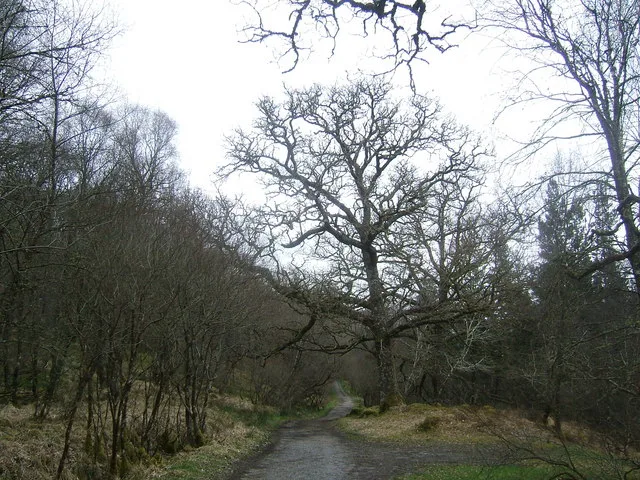
Ariundle Oakwood National Nature Reserve
Archaeological sites · 3.9 km

Beinn a' Chaorainn
Mountains & hills · 4.0 km
Beinn a' Chaoruinn
Mountains & hills · 4.1 km
Nearby
📷 6Hotels · Scottish Highlands
The Strontian Hotel
The Strontian Hotel — a hotel in scotland highlands.
📷 4📷 5Campsites · Scottish Highlands
Sunart Camping
Sunart Camping — a campsite in scotland highlands.
📷 3Memorials & monuments · Scottish Highlands
Strontian War Memorial
Strontian War Memorial — a memorial in scotland-highlands, United Kingdom.
📷 5Historic bridges · Scottish Highlands
Drumnatorran Bridge
Drumnatorran Bridge — category C listed building-listed bridge in scotland-highlands, United Kingdom.
📷 3Where to eat & stay near Strontian
Places to stay
📷 6Hotels · Scottish Highlands
The Strontian Hotel
The Strontian Hotel — a hotel in scotland highlands.
📷 5Campsites · Scottish Highlands
Sunart Camping
Sunart Camping — a campsite in scotland highlands.
📷 5Hostels · Scottish Highlands
Ariundle Centre
Ariundle Centre — a hostel in scotland highlands.
 📷 5
📷 5Campsites · Scottish Highlands
Achindarroch Touring Park
Achindarroch Touring Park — a campsite in scotland highlands.
 📷 5
📷 5 📷 5
📷 5More places in this region
 Flagship📷 3
Reservoirs & lochs · Scottish Highlands
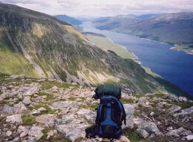
Loch Ericht
Loch Ericht — lake in Perth and Kinross, and Highland, Scotland, UK, outflows to River Ericht.
 Flagship📷 3
Reservoirs & lochs · Scottish Highlands
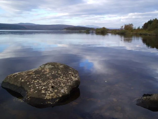
Loch Shin
Loch Shin — reservoir in Highland, Scotland, UK, outflows to the River Shin.
 📷 4
📷 4Reservoirs & lochs · Scottish Highlands
Backwater Reservoir
Backwater Reservoir — lake in Angus, Scotland, UK.
 📷 3
📷 3Reservoirs & lochs · Scottish Highlands
Blackwater Reservoir
Blackwater Reservoir — reservoir in Highland, Scotland, UK, outflows to the River Leven.
Frequently asked questions
- Where is Strontian?
- Strontian is in the Scottish Highlands, United Kingdom (postcode PH36 4HZ).
- What is Strontian?
- Strontian in Scotland Islands, United Kingdom.
- How do I get to Strontian?
- Drivers can use postcode PH36 4HZ.
- Is Strontian free to visit?
- Yes, Strontian is free to enter.
- How do I get to Strontian?
- Drivers can navigate to postcode PH36 4HZ. It sits within the Argyll, Bute and South Lochaber parliamentary constituency.