Reservoirs & lochs · Scottish Highlands
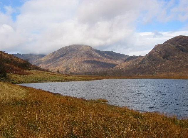
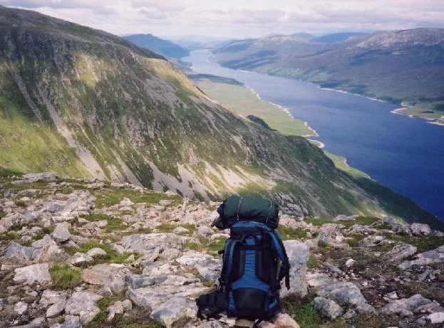
Ardgour
Also known as: Àird Ghobhar
Ardgour in Scotland Islands, United Kingdom.

Richard Webb — CC BY-SA 2.0 via Wikimedia Commons licence
Plan your visit
- Typical visit
- 1 h–2.5 h
- Free entry
- Dog-friendly
About
Ardgour is a place of interest in Scotland Islands, United Kingdom — drawn from open-data sources for visitor reference. See the linked Wikipedia article for the full description.
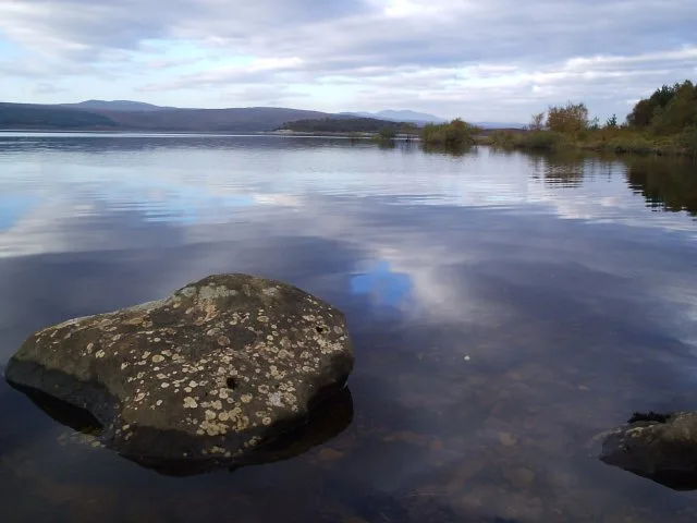
Photo gallery
From the Wikipedia article
Ardgour ( ) (Scottish Gaelic: Àird Ghobhar [aːrˠʃtʲ ˈɣo.əɾ]; meaning high place of goats) is an area of the Scottish Highlands on the western shore of Loch Linnhe. It lies north of the district of Morvern and east of the district of Sunart. Administratively it is now part of the ward management area of Lochaber, in Highland council area. It forms part of the traditional shire and current registration county of Argyll. The modern term Ardgour, together with Kingairloch, is applied to a large area of countryside around the village, from the Glensanda Superquarry, Kingairloch and Kilmalieu in the south and west (bordering Morvern and Sunart districts), up to Conaglen, Stroncreggan, Treslaig, Camasnagaul, Achaphubuil, Blaich, Duisky, Garvan and Drumfin in the north (bordering Glenfinnan). Ardgour was part of Kilmallie Parish, the largest in Scotland, until 1829 when a Quoad Sacra Parish(QSP) – 'Ballachulish & Corran of Ardgour' – was formed, also including Ballachulish, in Inverness-shire across Loch Linnhe. Parliamentary churches were built at Creag Mhòr in North Ballachulish and at Corran in Ardgour with the Manse at the former in Onich. 'Ardgour' and 'Ballachulish & Onich' became parishes in their own right in 1894. Ardgour took in Kingairloch when this was disjoined from Lismore and Appin Parish in 1911. From 1930 to 1975 Ardgour formed part of the (civil) landward district of Ardnamurchan in Argyll. From 1975 it was subsumed civilly into the Lochaber District of Highland Region. The area is served by the A861 road. The easiest access from the A82 (Glasgow – Inverness Trunk road) is via a short ferry crossing from Corran to Ardgour; the alternative is a 40-mile (60 km) trip around Loch Linnhe and Loch Eil. The ferry runs every half-hour from about 6:30 am (8:45 am on Sunday) until about 9:30 pm and costs £8.00 per PLG vehicle (wef 1 Apr 2018) for a single ticket – passengers/pedestrians free. Foot passengers and bicycles are carried free of charge. Ardgour has…
Excerpt from Wikipedia under CC BY-SA 4.0. See the source article linked in Sources below.
- Coordinates
- 56.7376, -5.3805
Sources
Other places nearby
Loading nearby places…
Nearby
 📷 3
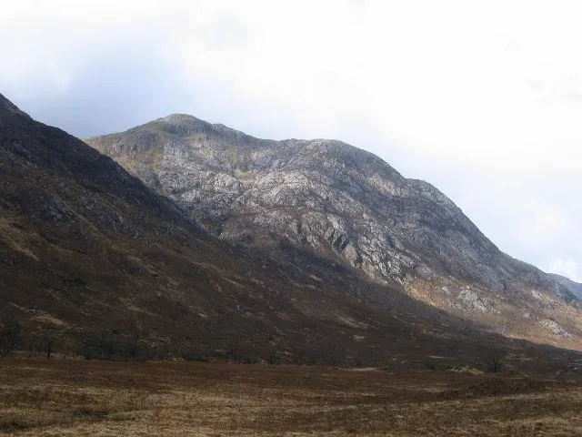
📷 3Mountains & hills · Scottish Highlands
Beinn na h-Uamha
Beinn na h-Uamha — Named summit at 762 m.
 📷 3
📷 3Mountains & hills · Scottish Highlands
Beinn Bheag
Beinn Bheag — Named summit at 736 m.
Vineyards · Scottish Highlands
Torr an Duin, Loch nan Gabhar
Torr an Duin, Loch nan Gabhar — a UK vineyard in scotland highlands, producing English or Welsh wine from cool-climate grape varieties.
 📷 3
📷 3Mountains & hills · Scottish Highlands
Garbh Bheinn
Garbh Bheinn — Named summit at 885 m.
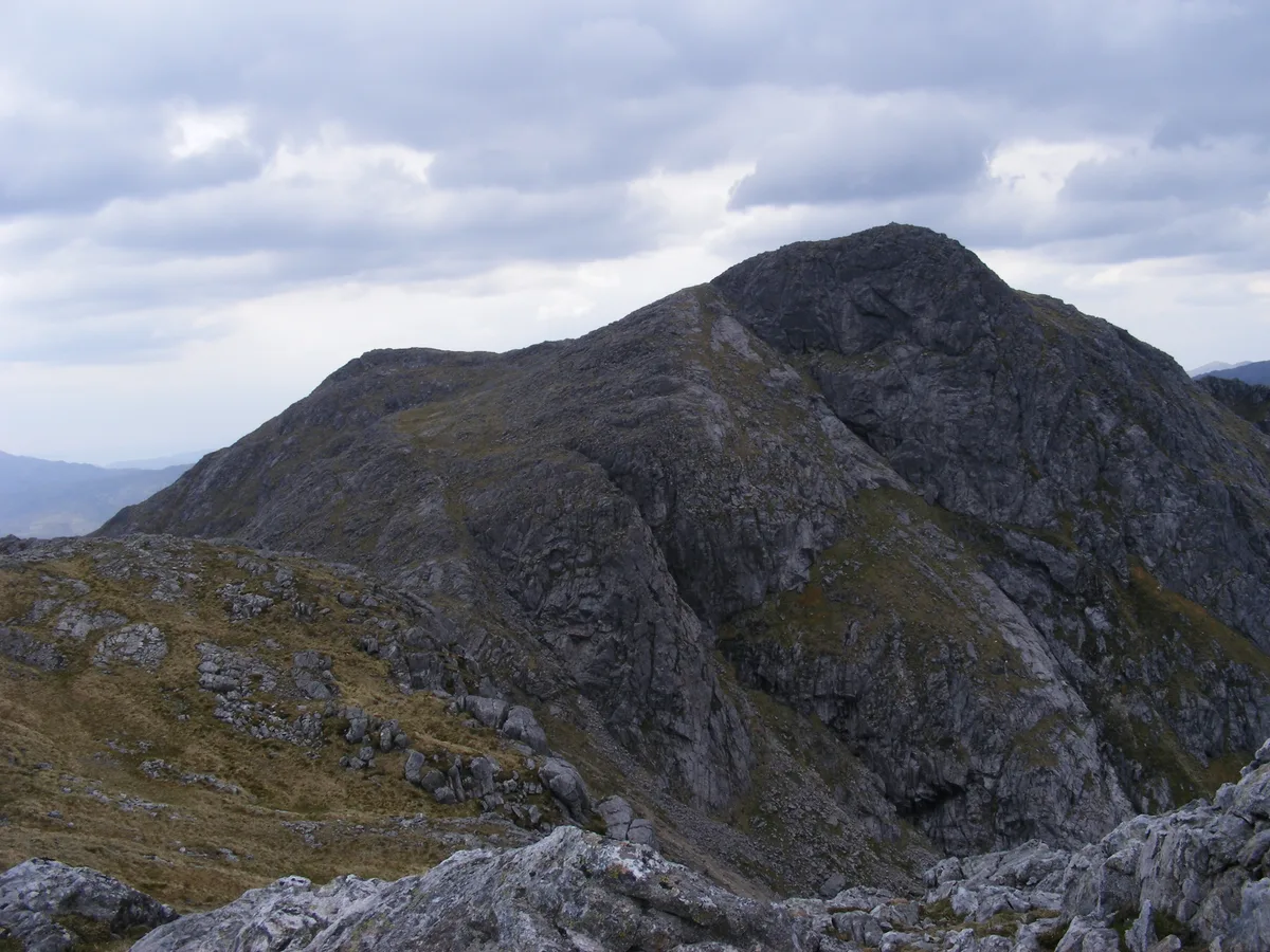 📷 3
📷 3Natural landmarks · Scottish Highlands
Garbh Bheinn
Garbh Bheinn — 885m high mountain in Highland, Scotland, UK.
 📷 3
📷 3Mountains & hills · Scottish Highlands
Sgùrr Dhòmhnuill
Sgùrr Dhòmhnuill — Named summit at 888 m.
More places in this region
 Flagship📷 3
Reservoirs & lochs · Scottish Highlands
Loch Ericht
Loch Ericht — lake in Perth and Kinross, and Highland, Scotland, UK, outflows to River Ericht.
 Flagship📷 3
Reservoirs & lochs · Scottish Highlands
Loch Shin
Loch Shin — reservoir in Highland, Scotland, UK, outflows to the River Shin.
 📷 3
📷 3Reservoirs & lochs · Scottish Highlands
Allt na Lairige Reservoir
Allt na Lairige Reservoir — 1956 artificial lake in Argyll and Bute, Scotland, UK, on and outflowing west to Allt na Lairige.
.jpg?width=1200) 📷 3
📷 3Reservoirs & lochs · Scottish Highlands
Ardlussa Fishing Loch
Ardlussa Fishing Loch — 1900 artificial lake on Jura, Argyll and Bute, Scotland, UK, on the Lussa River.
Frequently asked questions
- Where is Ardgour?
- Ardgour is in Scottish Highlands, in the United Kingdom — coordinates 56.7376°, -5.3805°.
- Is Ardgour free to visit?
- Yes — admission to Ardgour is free.