
Reservoirs & lochs · Scottish Highlands
Loch Ericht
Loch Ericht — lake in Perth and Kinross, and Highland, Scotland, UK, outflows to River Ericht.

Wikimedia Commons contributors — see linked file page for photographer and licence licence

Plan your visit
- Typical visit
- 1 h–2.5 h
- Free entry
- Dog-friendly
Getting there & planning your visit
Loch Ericht is located in the Scottish Highlands at coordinates 56.8323, -4.3741. There is no nearest railway station or postcode available for this remote location. Entry is free.
About
Loch Ericht is a reservoir in the United Kingdom. It covers approximately 19 km². Part of Tummel hydro-electric power scheme. Wikidata describes it as: "lake in Perth and Kinross, and Highland, Scotland, UK, outflows to River Ericht". Coordinates: 56.8323°, -4.3741°.
Photo gallery
From the Wikipedia article
Loch Ericht (Scottish Gaelic: Loch Eireachd) is a freshwater loch on the border between the former Perthshire, now Perth and Kinross and the former Inverness-shire, now Highlands Council areas of Scotland. It has a north-east to south-west orientation. The village of Dalwhinnie lies at the north east end of the loch. Loch Ericht is the tenth largest freshwater lake in Scotland and has a good reputation for its trout fishing and Ferox trout. Loch Ericht occupies a major glacial breach cut through the former main Grampian divide from Ben Nevis over Ben Alder to the Cairngorms. The breach exploits the Loch Ericht Fault, a major feature of the Caledonian Orogeny, parallel to the Great Glen Fault and other NE-SW faults. The preglacial col in the former divide at Beinn Bheoil - Stob an Aonaich Mhoir is estimated by Linton to have been at 650m asl. With the loch bed being at 200m asl, ice has excavated a trench at least 450 m deep. The glacier has carried erratic boulders of Rannoch granite far down the flanks of Strath Spey. A secondary breach was cut between The Fara (Am Faireamh) and Geal Charn (Drumochter) thus beheading the Pattack catchment. The present watershed has been displaced about ten miles north-east to Dalwhinnie. The loch is part of a hydro-electric scheme and is dammed at both ends. Water flows into the northern end via the Cuaich Aqueduct. The southern end is linked to a hydro-electric power station at Loch Rannoch by a pipeline abstracting most of the flow of the 4-mile (6.4 km) long River Ericht. The low northern barrage is located on the former natural watershed, raising the natural level of the loch slightly. The reservoir volume is 230 million m3 of water with a water length of 24.4 kilometres (15.2 mi). The Corrievarkie pumped-storage hydroelectricity project is planned to hold 22 million cubic metres of water in the hills above the lake. If built, it would have a power of 600 MW for 24 hours. Loch Ericht is surrounded by a number of Munros,…
Excerpt from Wikipedia under CC BY-SA 4.0. See the source article linked in Sources below.
- Coordinates
- 56.8323, -4.3741
Sources
- wikidata: Q1851127 (CC0)
- wikipedia: Loch Ericht (CC BY-SA 4.0)
- commons: Loch Ericht.jpg (CC BY-SA 4.0)
Other places nearby

Beinn Udlamain - An Sgulan
Mountains & hills · 2.3 km

An Sgulan
Mountains & hills · 2.3 km
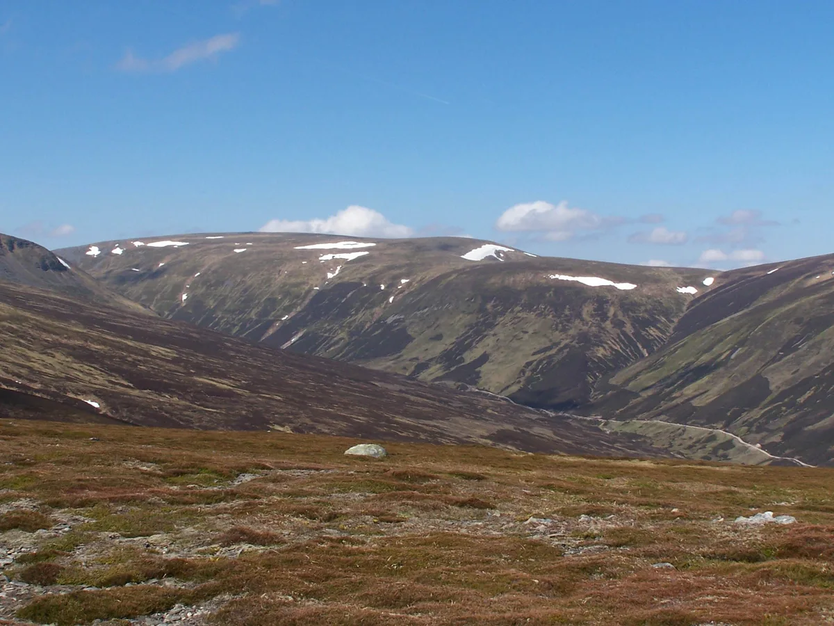
Beinn Udlamain
Natural landmarks · 2.7 km
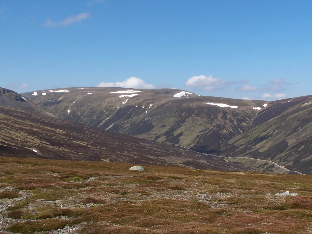
Beinn Udlamain
Mountains & hills · 2.7 km

Meall Mor
Mountains & hills · 3.0 km

Loch Ericht
Lakes · 4.0 km
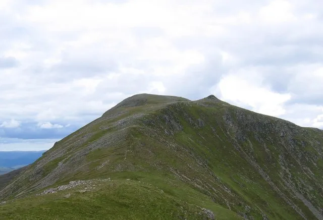
Beinn Bheoil
Mountains & hills · 4.0 km

Glas Meall a' Chumhainn
Mountains & hills · 4.5 km

Meall Dubh
Mountains & hills · 4.5 km
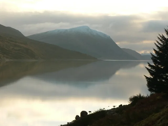
Stob an Aonaich Mhoir
Mountains & hills · 4.5 km

Sgairneach Mhor
Mountains & hills · 4.6 km
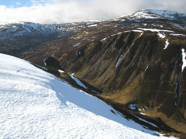
Sgairneach Mhòr
Natural landmarks · 4.7 km
Nearby
📷 2Mountains & hills · Scottish Highlands
Beinn Udlamain - An Sgulan
Beinn Udlamain - An Sgulan — a mountain in scotland-highlands, United Kingdom.
📷 5Mountains & hills · Scottish Highlands
An Sgulan
An Sgulan — a hill or mountain in scotland highlands.
📷 3Natural landmarks · Scottish Highlands
Beinn Udlamain
Beinn Udlamain — mountain on the Perth and Kinross, and Highland border, Scotland, UK.
📷 3Mountains & hills · Scottish Highlands
Beinn Udlamain
Beinn Udlamain — Named summit at 1011 m.
📷 5Mountains & hills · Scottish Highlands
Meall Mor
Meall Mor — a hill or mountain in scotland highlands.
📷 5Where to eat & stay near Loch Ericht
Places to stay
 📷 5
📷 5Hostels · Scottish Highlands
Dalwhinnie Old School Hostel
Dalwhinnie Old School Hostel — a hostel in scotland highlands.
 📷 5
📷 5Campsites · Scottish Highlands
Kilvrecht Caravan & Camping
Kilvrecht Caravan & Camping — a campsite in scotland highlands.
 📷 5
📷 5Campsites · Scottish Highlands
Tighnavon Glamping Pods
Tighnavon Glamping Pods — a campsite in scotland highlands.
 📷 5
📷 5Hostels · Scottish Highlands
Loch Ossian Youth Hostel
Loch Ossian Youth Hostel — a hostel in scotland highlands.
 📷 5
📷 5 📷 5
📷 5Hostels · Scottish Highlands
Pottery Bunkhouse
Pottery Bunkhouse — a hostel in scotland highlands.
More places in this region
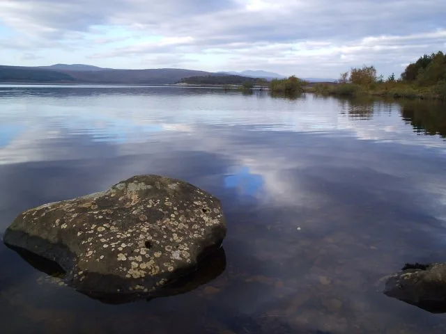 Flagship📷 3
Reservoirs & lochs · Scottish Highlands
Loch Shin
Loch Shin — reservoir in Highland, Scotland, UK, outflows to the River Shin.
 📷 4
📷 4Reservoirs & lochs · Scottish Highlands
Backwater Reservoir
Backwater Reservoir — lake in Angus, Scotland, UK.
 📷 3
📷 3Reservoirs & lochs · Scottish Highlands
Blackwater Reservoir
Blackwater Reservoir — reservoir in Highland, Scotland, UK, outflows to the River Leven.
 📷 3
📷 3Reservoirs & lochs · Scottish Highlands
Loch Beannacharan
Loch Beannacharan — lake dammed as reservoir in Highland, Scotland, UK on the River Farrar.
Frequently asked questions
- Where is Loch Ericht?
- Loch Ericht is in the Scottish Highlands, United Kingdom.
- What is Loch Ericht?
- Loch Ericht — lake in Perth and Kinross, and Highland, Scotland, UK, outflows to River Ericht.
- How do I get to Loch Ericht?
- Its coordinates are 56.8323°, -4.3741°.
- Is Loch Ericht free to visit?
- Yes, Loch Ericht is free to enter.