
Mountains & hills · North Wales
Y Fronllwyd
In or near Deiniolen.
Y Fronllwyd — a mountain in wales-north, United Kingdom, 720 m.

Eric Jones — CC BY-SA 2.0 via Wikimedia Commons licence

Plan your visit
- Typical visit
- 3 h–8 h
- Best time of year
- Late spring – early autumn (May–Oct)
- Nearest railway station
- Gilfach Ddu · 4.2 km
- Free entry
- Dog-friendly
Getting there & planning your visit
To visit Y Fronllwyd, the nearest railway station is Gilfach Ddu, located 4.2 km away. Entry is free, and the postcode for sat-nav is LL57 3DQ.
About
Y Fronllwyd is a named summit in wales-north, United Kingdom, with an elevation of approximately 720 metres. Listed in the Wikidata register of UK peaks; see the Wikipedia article for further details on the mountain's location, geology and walking routes.
Photo gallery
From the Wikipedia article
Y Fronllwyd, also known as Carnedd y Filiast North Top, is a top of Carnedd y Filiast in Snowdonia, Wales forming part of the Glyderau. It is the northern end of the Glyder mountain range. The summit has good views of Bethesda, the Penrhyn Quarry, the Carneddau, Elidir Fawr and the Menai Strait. The summit was included on the original Nuttall's list, subsequently deleted and then re-included after detailed re-surveying.
Excerpt from Wikipedia under CC BY-SA 4.0. See the source article linked in Sources below.
- Coordinates
- 53.1476, -4.0686
- District
- Gwynedd
- Parish
- Llandygai
- Postcode
- LL57 3DQ
- Parliamentary constituency
- Bangor Aberconwy
- Nearest railway station
- Gilfach Ddu — 4.2 km
Sources
- wikidata: Q8046126 (CC0)
- wikipedia: Y Fronllwyd (CC BY-SA 4.0)
Other places nearby
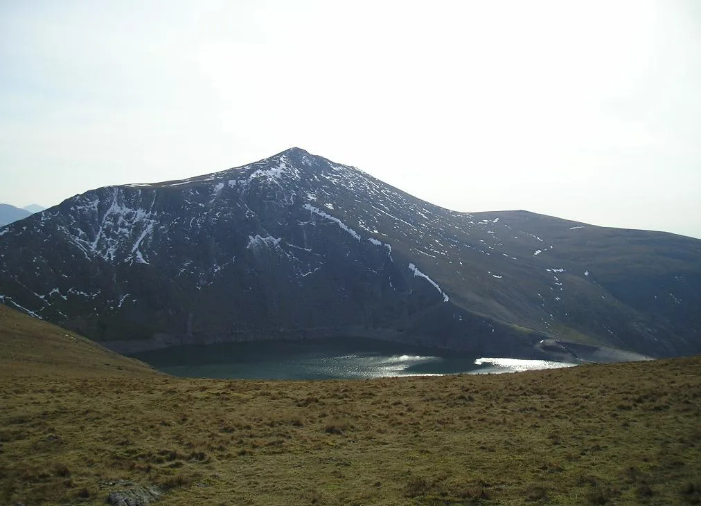
Carnedd Y Filiast
Mountains & hills · 0.5 km
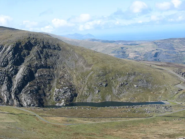
Marchlyn Bach
Reservoirs & lochs · 1.2 km

Maclyn Bach
Lakes · 1.2 km
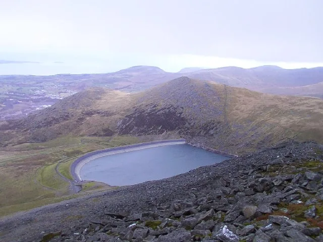
Marchlyn Mawr
Reservoirs & lochs · 1.2 km

Marclyn Mawr
Lakes · 1.2 km
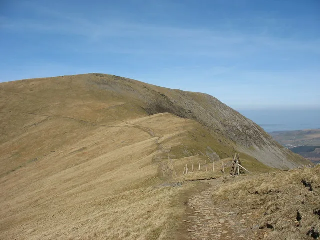
Mynydd Perfedd
Mountains & hills · 1.4 km

Pont-y-Ceunant
Historic bridges · 1.9 km
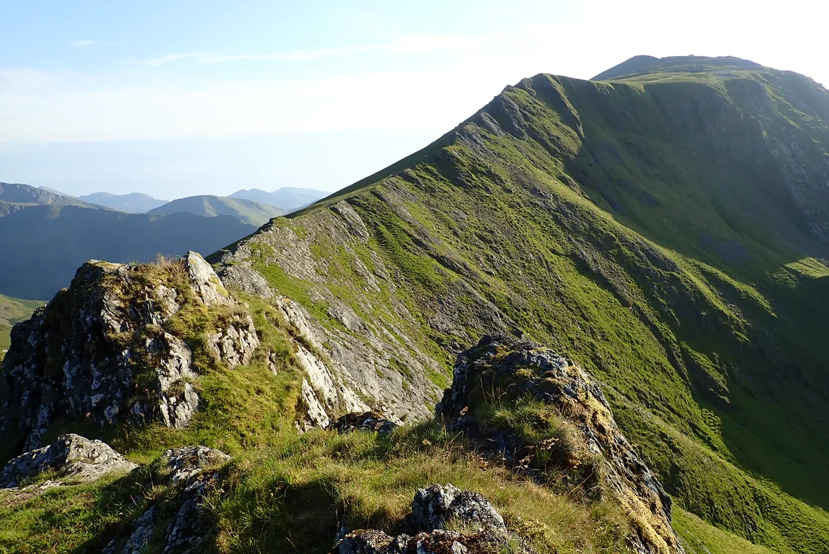
Elidir Fawr
Mountains & hills · 1.9 km
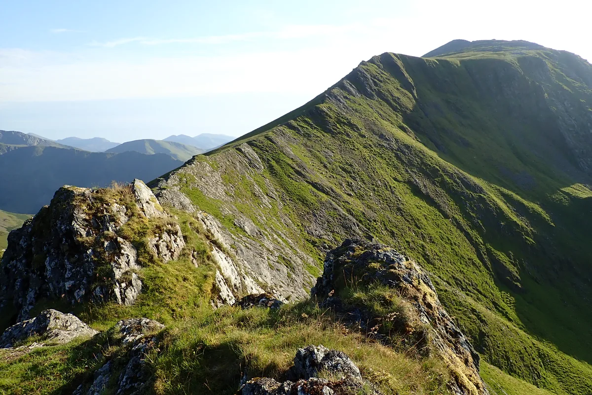
Elidir Fawr
Natural landmarks · 1.9 km

Nant Ffrancon
Gorges · 2.0 km

Penrhyn Quarry
Quarries · 2.2 km
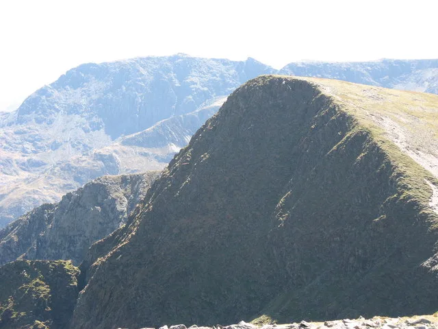
Foel-goch
Natural landmarks · 2.2 km
Nearby
📷 3📷 3Reservoirs & lochs · North Wales
Marchlyn Bach
Marchlyn Bach — reservoir lake near Deinolen, Gwynedd, Wales.
📷 5📷 3📷 5📷 3Where to eat & stay near Y Fronllwyd
Places to stay
 📷 5
📷 5Campsites · North Wales
Ogwen Bank Holiday Park & Country Club
Ogwen Bank Holiday Park & Country Club — a campsite in wales north.
 📷 5
📷 5Caravan parks · North Wales
Bryn Llys Caravan Site
Bryn Llys Caravan Site — a caravan park in wales north.
 📷 5
📷 5Hostels · North Wales
Dinorwig Lodge
Dinorwig Lodge — a hostel in wales north.
 📷 5
📷 5 📷 5
📷 5Hostels · North Wales
Yr Hafod Welsh Scout Centre
Yr Hafod Welsh Scout Centre — a hostel in wales north.
 📷 5
📷 5Places to eat & drink
 📷 7
📷 7Restaurants · North Wales
Tafarn Tryfan
Tafarn Tryfan — a restaurant in wales north.
 📷 5
📷 5 📷 7
📷 7 📷 5
📷 5Historic pubs · North Wales
The George and Dragon
The George and Dragon — Historic pub — listed building or notable heritage status.
 📷 7
📷 7 📷 6
📷 6More mountains in this region
 📷 5
📷 5Mountains & hills · North Wales
Cemlyn Bay and lagoon
Cemlyn Bay and lagoon — Site of Special Scientific Interest in Wales.
 📷 3
📷 3Mountains & hills · North Wales
Aberffraw Bay
Aberffraw Bay — bay on the west coast of Anglesey, in Wales, UK.
 📷 3
📷 3 📷 3
📷 3Mountains & hills · North Wales
Aran Benllyn
Aran Benllyn — Named summit at 884 m.
Frequently asked questions
- Where is Y Fronllwyd?
- Y Fronllwyd is in North Wales, United Kingdom (postcode LL57 3DQ), in the parish of Llandygai.
- What is Y Fronllwyd?
- Y Fronllwyd — a mountain in wales-north, United Kingdom, 720 m.
- How do I get to Y Fronllwyd?
- The nearest railway station is Gilfach Ddu, about 4.2 km away. Drivers can use postcode LL57 3DQ.
- Is Y Fronllwyd free to visit?
- Yes, Y Fronllwyd is free to enter.
- How do I get to Y Fronllwyd?
- The nearest railway station is Gilfach Ddu, about 4.2 km away. Drivers can navigate to postcode LL57 3DQ.