
Mountains & hills · North Wales
Elidir Fawr
In or near Deiniolen.
Elidir Fawr — Named summit at 923 m.

Wikimedia Commons contributors — see linked file page for photographer and licence licence

Plan your visit
- Typical visit
- 3 h–8 h
- Best time of year
- Late spring – early autumn (May–Oct)
- Nearest railway station
- Gilfach Ddu · 2.8 km
- Free entry
- Dog-friendly
Getting there & planning your visit
To visit Elidir Fawr in North Wales, the nearest railway station is Gilfach Ddu, which is 2.8 km away. Entry to the mountain is free.
About
Elidir Fawr is a named summit in the United Kingdom. Wikidata describes it as: "Named summit at 923 m.". Coordinates: 53.1308°, -4.0761°.
Photo gallery
From the Wikipedia article
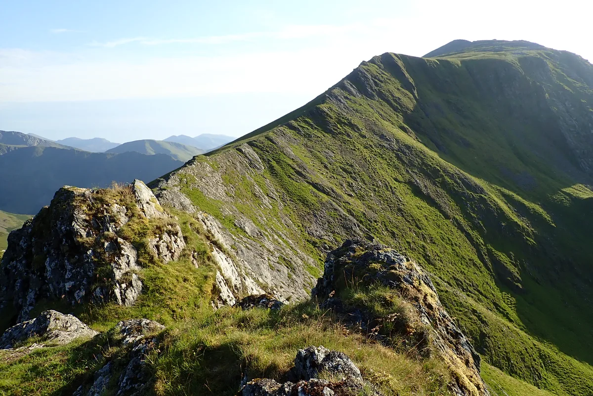
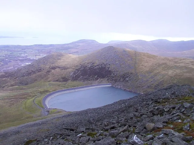
Elidir Fawr is a mountain in Snowdonia, north Wales, the northernmost peak in the Glyderau. Its name means 'Big Elidir', named after a legendary warrior king of the 6th century also known as Eliffer Gosgorddfawr (Elidir of the Great Army). To the north of the summit is a small lake, Marchlyn Mawr, which is the upper reservoir for Dinorwig power station, a pump-storage power station hidden inside the mountain. Water from this lake flows through huge tunnels into the lower reservoir Llyn Peris. From the north, Elidir Fawr is very prominent, and can appear to be higher than the higher mountains behind it. A subsidiary peak, Elidir Fach lies just to the west at 795 metres (2,608 feet).
Excerpt from Wikipedia under CC BY-SA 4.0. See the source article linked in Sources below.
- Coordinates
- 53.1308, -4.0761
- Address
- Gwynedd, Wales
- Nearest railway station
- Gilfach Ddu — 2.8 km
Sources
- osm: n333215898 (ODbL)
- wikipedia: Elidir Fawr (CC BY-SA 4.0)
- commons: Elidir Fawr ridge, as seen from the ridge along Mynydd Perfedd, above the reservoir, with Moel Cynghorion in the background.jpg (CC BY-SA 4.0)
Other places nearby
Elidir Fawr
Natural landmarks · 0.0 km

Elidir Fach
Mountains & hills · 0.8 km
Marchlyn Mawr
Reservoirs & lochs · 0.9 km

Marclyn Mawr
Lakes · 0.9 km
Mynydd Perfedd
Mountains & hills · 1.3 km
Marchlyn Bach
Reservoirs & lochs · 1.3 km

Maclyn Bach
Lakes · 1.3 km
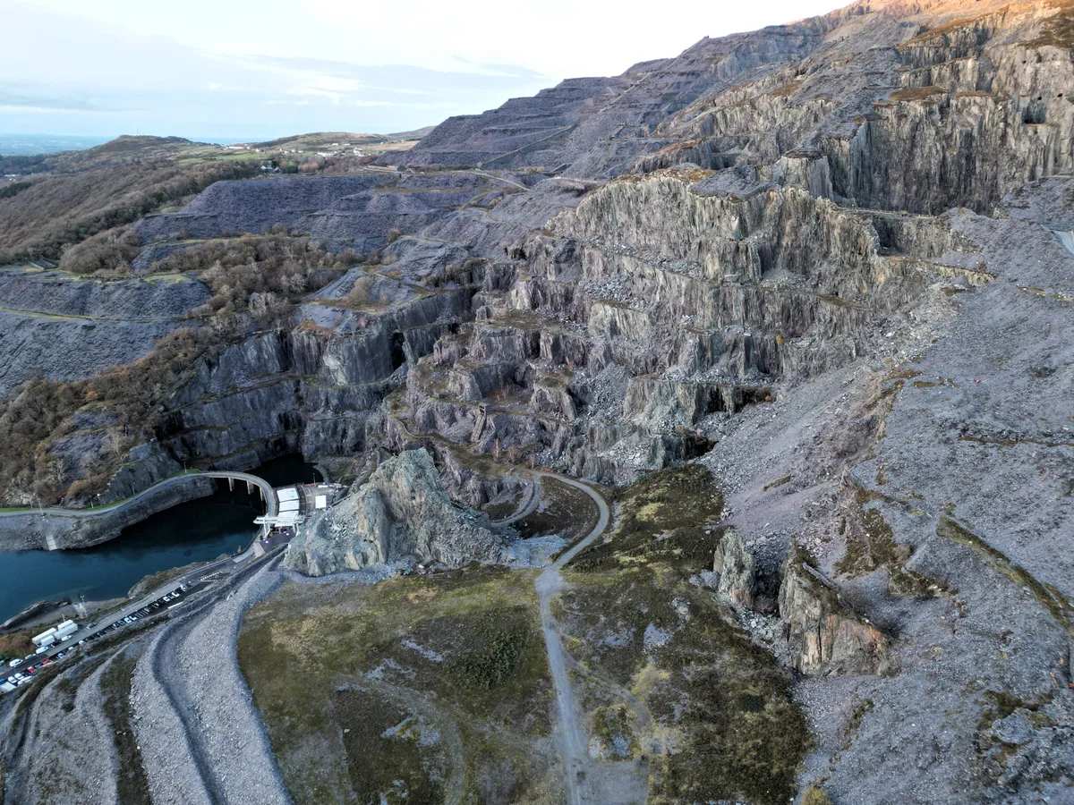
Dinorwic Quarry
Hill forts · 1.6 km

Esgair y Ceunant
Mountains & hills · 1.6 km
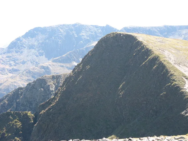
Foel-goch
Natural landmarks · 1.7 km

Australia
Climbing & bouldering crags · 1.7 km
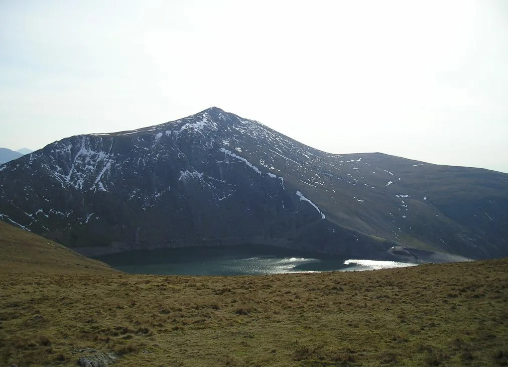
Carnedd Y Filiast
Mountains & hills · 1.7 km
Nearby
📷 4📷 5📷 3📷 5📷 3📷 3Reservoirs & lochs · North Wales
Marchlyn Bach
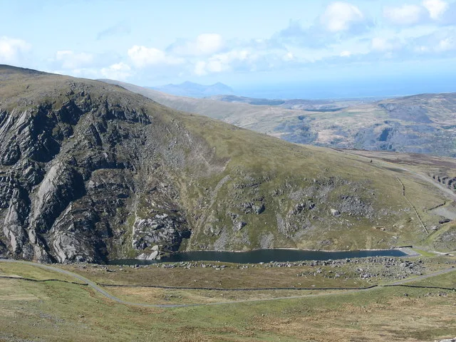
Marchlyn Bach — reservoir lake near Deinolen, Gwynedd, Wales.
Where to eat & stay near Elidir Fawr
Places to stay
 📷 5
📷 5Hostels · North Wales
Dinorwig Lodge
Dinorwig Lodge — a hostel in wales north.
 📷 5
📷 5 📷 5
📷 5 📷 5
📷 5Hotels · North Wales
The Legacy Royal Victoria Hotel
The Legacy Royal Victoria Hotel — a hotel in wales north.
 📷 5
📷 5Hostels · North Wales
Yr Hafod Welsh Scout Centre
Yr Hafod Welsh Scout Centre — a hostel in wales north.
 📷 5
📷 5Places to eat & drink
 📷 5
📷 5 📷 7
📷 7Restaurants · North Wales
Tafarn Tryfan
Tafarn Tryfan — a restaurant in wales north.
 📷 6
📷 6 📷 5
📷 5 📷 5
📷 5 📷 5
📷 5More mountains in this region
 📷 5
📷 5Mountains & hills · North Wales
Cemlyn Bay and lagoon
Cemlyn Bay and lagoon — Site of Special Scientific Interest in Wales.
 📷 3
📷 3Mountains & hills · North Wales
Aberffraw Bay
Aberffraw Bay — bay on the west coast of Anglesey, in Wales, UK.
 📷 3
📷 3 📷 3
📷 3Mountains & hills · North Wales
Aran Benllyn
Aran Benllyn — Named summit at 884 m.
Frequently asked questions
- Where is Elidir Fawr?
- Elidir Fawr is in North Wales, United Kingdom.
- What is Elidir Fawr?
- Elidir Fawr — Named summit at 923 m.
- How do I get to Elidir Fawr?
- The nearest railway station is Gilfach Ddu, about 2.8 km away. The nearest town is Deiniolen. Its coordinates are 53.1308°, -4.0761°.
- Is Elidir Fawr free to visit?
- Yes, Elidir Fawr is free to enter.
- How do I get to Elidir Fawr?
- The nearest railway station is Gilfach Ddu, about 2.8 km away.