
Mountains & hills · North Wales
Mynydd Perfedd
In or near Deiniolen.
Mynydd Perfedd — Named summit at 812 m.

Wikimedia Commons contributors — see linked file page for photographer and licence licence

Plan your visit
- Typical visit
- 3 h–8 h
- Best time of year
- Late spring – early autumn (May–Oct)
- Nearest railway station
- Gilfach Ddu · 4.0 km
- Free entry
- Dog-friendly
Getting there & planning your visit
To visit Mynydd Perfedd, the nearest railway station is Gilfach Ddu, located 4 km away. Entry is free, and the postcode for sat-nav is LL57 3DQ.
About
Mynydd Perfedd is a named summit in the United Kingdom. Wikidata describes it as: "Named summit at 812 m.". Coordinates: 53.1363°, -4.0596°.
Photo gallery
From the Wikipedia article
Mynydd Perfedd is a mountain in Snowdonia, Wales, forming part of the Glyderau. The summit has a shelter cairn, offering good views of Foel-goch's north-eastern face, and the Carneddau. Between it and Carnedd y Filiast, there are dramatic cliffs to the east, including the famous Llechen Cytrolar. To the south lies the parent peak Elidir Fawr, to the west Carnedd y Filiast and to the east Foel-goch and Y Garn. It is 812 metres (2,664 ft) high. The average annual temperature of the mountain is about 6 Celsius.
Excerpt from Wikipedia under CC BY-SA 4.0. See the source article linked in Sources below.
- Coordinates
- 53.1363, -4.0596
- District
- Gwynedd
- Parish
- Llandygai
- Postcode
- LL57 3DQ
- Parliamentary constituency
- Bangor Aberconwy
- Nearest railway station
- Gilfach Ddu — 4 km
Sources
- osm: n7659203100 (ODbL)
- wikipedia: Mynydd Perfedd (CC BY-SA 4.0)
- commons: Mynydd Perfedd.jpg (CC BY-SA 4.0)
Other places nearby
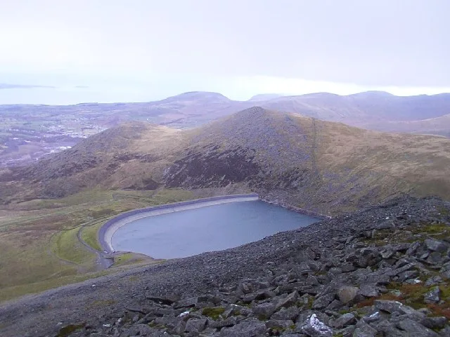
Marchlyn Mawr
Reservoirs & lochs · 0.6 km

Marclyn Mawr
Lakes · 0.6 km
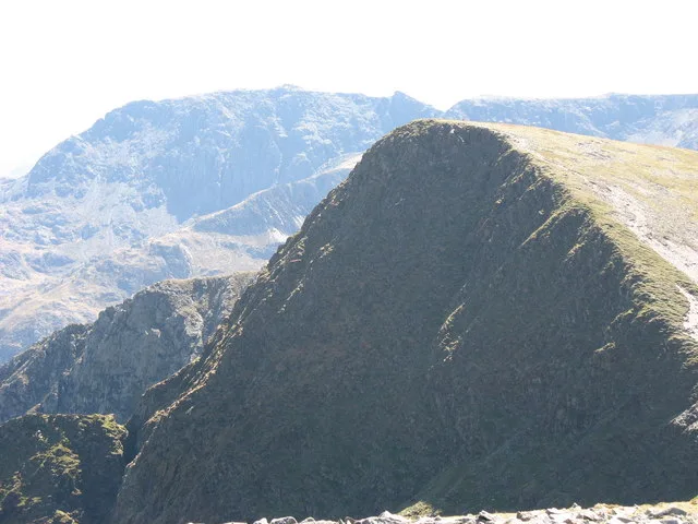
Foel-goch
Natural landmarks · 0.9 km
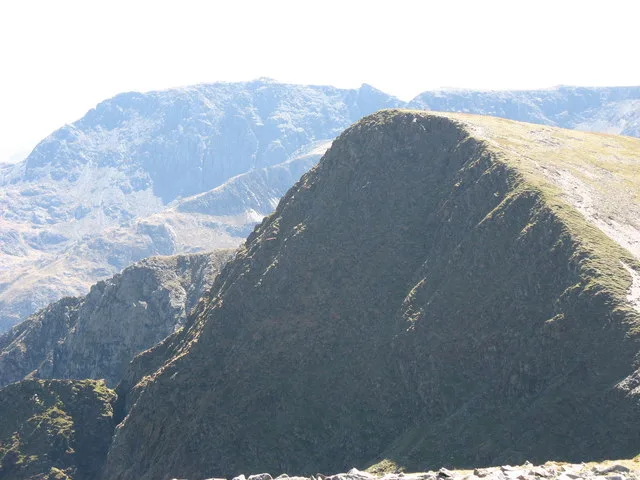
Foel Goch
Mountains & hills · 0.9 km
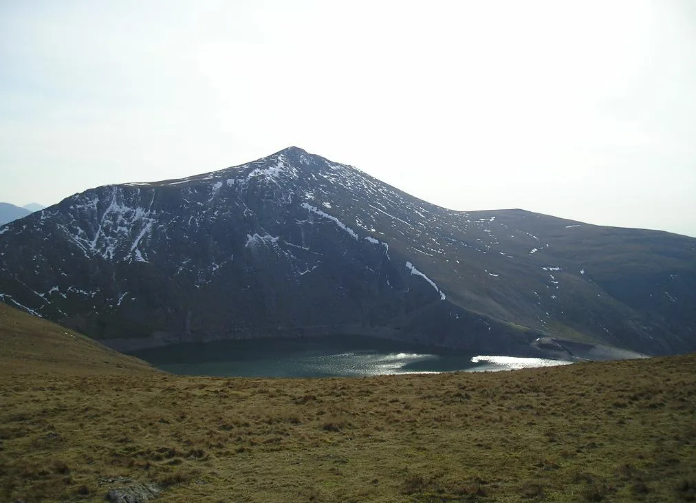
Carnedd Y Filiast
Mountains & hills · 0.9 km
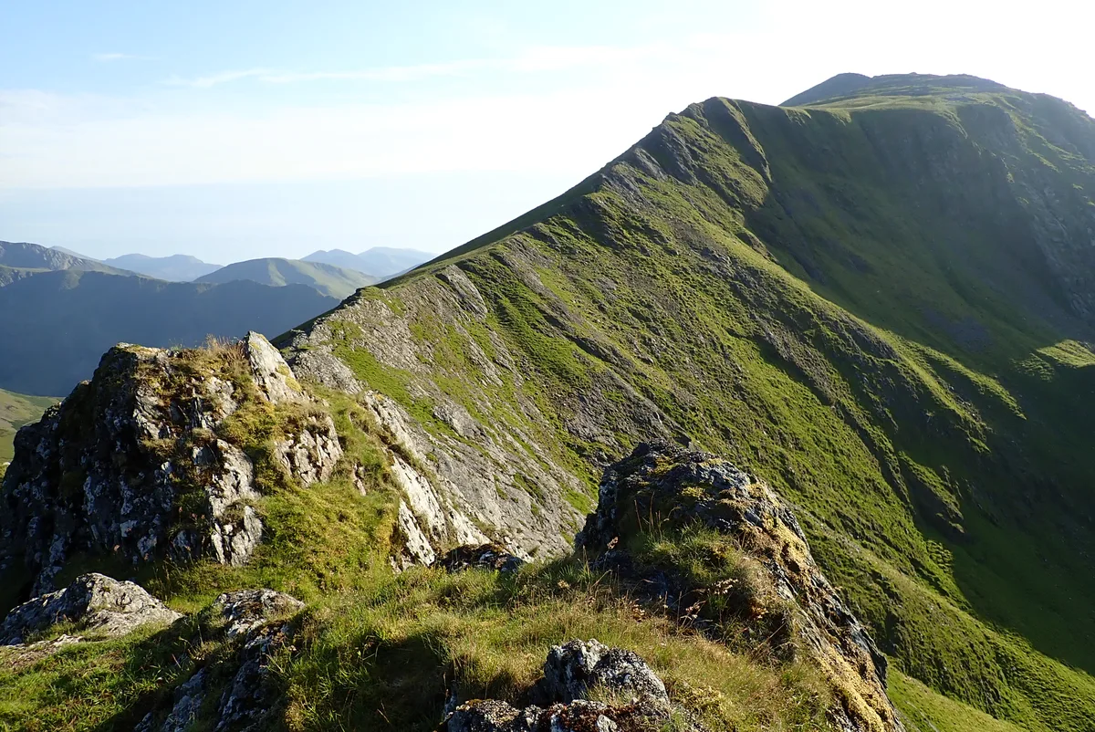
Elidir Fawr
Natural landmarks · 1.3 km
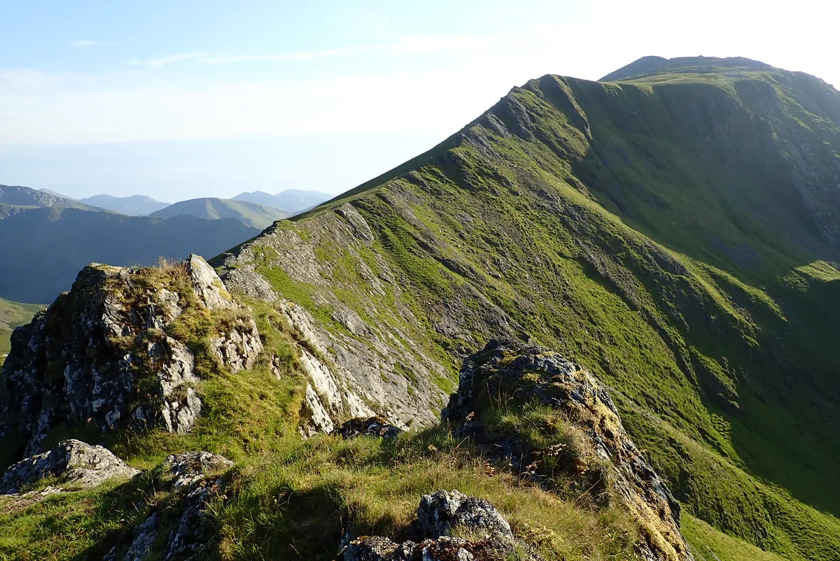
Elidir Fawr
Mountains & hills · 1.3 km

Y Fronllwyd
Mountains & hills · 1.4 km
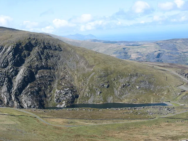
Marchlyn Bach
Reservoirs & lochs · 1.7 km

Maclyn Bach
Lakes · 1.7 km

Nant Ffrancon
Gorges · 1.8 km

Elidir Fach
Mountains & hills · 2.0 km
Nearby
📷 3📷 5📷 3📷 3📷 3📷 4Where to eat & stay near Mynydd Perfedd
Places to stay
 📷 5
📷 5Hostels · North Wales
Yr Hafod Welsh Scout Centre
Yr Hafod Welsh Scout Centre — a hostel in wales north.
 📷 5
📷 5 📷 5
📷 5Hostels · North Wales
Idwal Cottage Youth Hostel
Idwal Cottage Youth Hostel — a hostel in wales north. Brand: Youth Hostels Association.
 📷 5
📷 5 📷 5
📷 5Campsites · North Wales
Ogwen Bank Holiday Park & Country Club
Ogwen Bank Holiday Park & Country Club — a campsite in wales north.
 📷 5
📷 5Hostels · North Wales
Dinorwig Lodge
Dinorwig Lodge — a hostel in wales north.
Places to eat & drink
 📷 5
📷 5 📷 7
📷 7Restaurants · North Wales
Tafarn Tryfan
Tafarn Tryfan — a restaurant in wales north.
 📷 7
📷 7 📷 5
📷 5Historic pubs · North Wales
The George and Dragon
The George and Dragon — Historic pub — listed building or notable heritage status.
 📷 6
📷 6 📷 7
📷 7More mountains in this region
 📷 5
📷 5Mountains & hills · North Wales
Cemlyn Bay and lagoon
Cemlyn Bay and lagoon — Site of Special Scientific Interest in Wales.
 📷 3
📷 3Mountains & hills · North Wales
Aberffraw Bay
Aberffraw Bay — bay on the west coast of Anglesey, in Wales, UK.
 📷 3
📷 3 📷 3
📷 3Mountains & hills · North Wales
Aran Benllyn
Aran Benllyn — Named summit at 884 m.
Frequently asked questions
- Where is Mynydd Perfedd?
- Mynydd Perfedd is in North Wales, United Kingdom (postcode LL57 3DQ), in the parish of Llandygai.
- What is Mynydd Perfedd?
- Mynydd Perfedd — Named summit at 812 m.
- How do I get to Mynydd Perfedd?
- The nearest railway station is Gilfach Ddu, about 4.0 km away. Drivers can use postcode LL57 3DQ.
- Is Mynydd Perfedd free to visit?
- Yes, Mynydd Perfedd is free to enter.
- How do I get to Mynydd Perfedd?
- The nearest railway station is Gilfach Ddu, about 4.0 km away. Drivers can navigate to postcode LL57 3DQ.