
Mountains & hills · South West England
Windmill Hill
In or near Avebury.
Windmill Hill — Named summit at 195 m.

Wikimedia Commons contributors — see linked file page for photographer and licence licence

Plan your visit
- Typical visit
- 3 h–8 h
- Best time of year
- Late spring – early autumn (May–Oct)
- Free entry
- Dog-friendly
Getting there & planning your visit
Windmill Hill is located in Wiltshire, South East England, with the postcode SN4 9ET. Admission is free, and there is no information provided regarding accessibility.
About
Windmill Hill is a named summit in the United Kingdom. Wikidata describes it as: "Named summit at 195 m.". Coordinates: 51.4412°, -1.8766°.
Photo gallery
Summary from the official site
Windmill Hill is a Neolithic causewayed enclosure featuring three concentric ditches. It is part of the Avebury World Heritage Site and offers insights into ancient rituals and animal trading through the remains found at the site.
Read more on the official property page.
Protected designations
- Area of Outstanding Natural Beauty: Cotswolds
- Area of Outstanding Natural Beauty: North Wessex Downs
Designations sourced from Natural England open data under OGL v3.
From the Wikipedia article
Windmill Hill is a Neolithic causewayed enclosure in the English county of Wiltshire, part of the Avebury World Heritage Site, about 1 mile (2 km) northwest of Avebury. Enclosing an area of 21 acres (8.5 ha), it is the largest known causewayed enclosure in Britain. The site was first occupied around 3800 BC, although the only evidence is a series of pits apparently dug by an agrarian society using Hembury pottery. During a later phase, c. 3700 BC, three concentric segmented ditches were placed around the hilltop site, the outermost with a diameter of 365 metres. The causeways interrupting the ditches vary in width from a few centimetres to 7 m. Material from the ditches was piled up to create internal banks; the deepest ditches and largest banks are on the outer circuit. In the same period there was also a rectangular mortuary enclosure. The site was designated as a scheduled monument in 1925. It came into the ownership of the National Trust in 1942 and is under the guardianship of English Heritage.
Excerpt from Wikipedia under CC BY-SA 4.0. See the source article linked in Sources below.
- Coordinates
- 51.4412, -1.8766
- District
- Wiltshire
- Parish
- Winterbourne Monkton
- Postcode
- SN4 9ET
- Parliamentary constituency
- East Wiltshire
- Phone
- 01672 539 250
- Opening
- Open any reasonable time during daylight hours
- Official site
- www.english-heritage.org.uk
Sources
- osm: n973672469 (ODbL)
- wikipedia: Windmill Hill, Avebury (CC BY-SA 4.0)
- commons: Windmill Hill from the White Horse Trail, Winterbourne Monkton - geograph.org.uk - 1010976.jpg (CC BY-SA 4.0)
Other places nearby

Bronze Age Bell Barrow
Burial mounds & barrows · 0.0 km
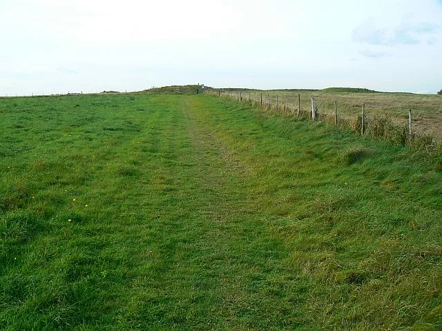
Windmill Hill
Hill forts · 0.0 km
Windmill Hill Neolithic Causewayed Enclosure
Windmills · 0.1 km

Horslip Long Barrow
Burial mounds & barrows · 0.9 km

Horslip Long Barrow
Archaeological sites · 0.9 km

Church of St Mary Magdalene, Winterbourne Monkton
Historic churches · 1.2 km

Winterbourne Monkton
Villages · 1.5 km
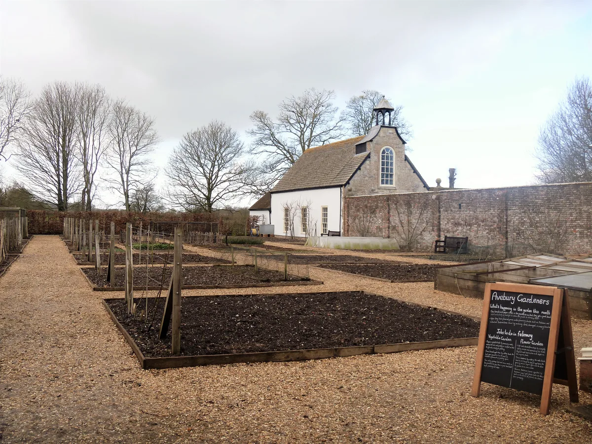
Racquets Court, Avebury Manor
Stately homes · 1.7 km

Trusloe Manor
Manor houses · 1.8 km

Avebury Manor and Garden
Gardens · 1.8 km

Alexander Keiller Museum
Museums · 1.9 km
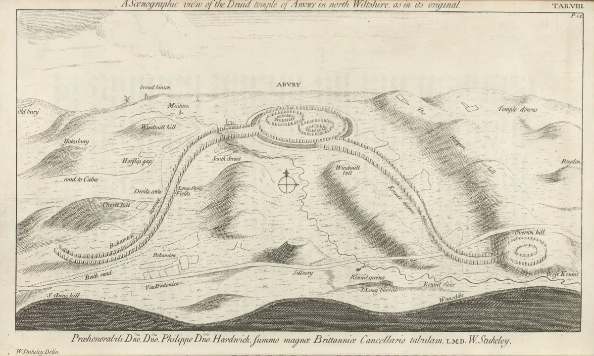
Beckhampton Avenue
UNESCO World Heritage · 1.9 km
Nearby
📷 5Burial mounds & barrows · South West England
Bronze Age Bell Barrow
Bronze Age Bell Barrow — a burial mound in england-south-east, United Kingdom.
★ Iconic📷 5Hill forts · South West England
Windmill Hill
Windmill Hill — archaeological type site in Wiltshire, England.
📷 5Windmills · South West England
Windmill Hill Neolithic Causewayed Enclosure
Windmill Hill Neolithic Causewayed Enclosure — a windmill in england-south-east, United Kingdom.
📷 5Burial mounds & barrows · South West England
Horslip Long Barrow
Horslip Long Barrow — a burial mound in england-south-east, United Kingdom.
📷 5Archaeological sites · South West England
Horslip Long Barrow
Horslip Long Barrow — archaeological in england south east.
📷 5Historic churches · South West England
Church of St Mary Magdalene, Winterbourne Monkton
Church of St Mary Magdalene, Winterbourne Monkton — Grade II listed building-listed church in england-south-east, United Kingdom.
Where to eat & stay near Windmill Hill
Places to stay
 📷 5
📷 5 📷 5
📷 5Campsites · South West England
Escape To The Fields
Escape To The Fields — a campsite in england south east.
 📷 7
📷 7Hotels · South West England
Lansdowne Strand Hotel
Lansdowne Strand Hotel — a hotel in england south east.
 📷 5📷 5
Campsites · South East England
Chilton Farm County Guide Campsite
Chilton Farm County Guide Campsite — a campsite in england south east.
 📷 7
📷 7Hotels · South East England
Castle & Ball Hotel
Castle & Ball Hotel — a hotel in england south east.
Places to eat & drink
 📷 5
📷 5Historic pubs · South West England
Bricklayers Arms Public House
Bricklayers Arms Public House in England South West, United Kingdom.
 📷 7
📷 7Historic pubs · South West England
The Talbot Public House
The Talbot Public House in England South West, United Kingdom.
 📷 7
📷 7Cafés · South East England
St Peter's and St Paul's
St Peter's and St Paul's — a café in england south east.
 📷 7
📷 7_(geograph_6422891).jpg?width=1200) 📷 5
📷 5Historic pubs · South East England
The White Hart
The White Hart — Historic pub — listed building or notable heritage status.
 📷 7
📷 7Historic pubs · South West England
The Queens Head Inn
The Queens Head Inn in England South West, United Kingdom.
More mountains in this region
 📷 5
📷 5 📷 5
📷 5 📷 5
📷 5 📷 5
📷 5Frequently asked questions
- Where is Windmill Hill?
- Windmill Hill is in South-East England, United Kingdom (postcode SN4 9ET), in the parish of Winterbourne Monkton.
- What is Windmill Hill?
- Windmill Hill — Named summit at 195 m.
- How do I get to Windmill Hill?
- Drivers can use postcode SN4 9ET.
- Is Windmill Hill a protected site?
- Yes — Windmill Hill is part of the Cotswolds National Landscape (AONB) and the North Wessex Downs National Landscape (AONB).
- Is Windmill Hill free to visit?
- Yes, Windmill Hill is free to enter.
- How do I get to Windmill Hill?
- Drivers can navigate to postcode SN4 9ET. It sits within the East Wiltshire parliamentary constituency.